Thorne
Civil Parish in Yorkshire Doncaster
England
Thorne

Thorne is a civil parish located in the metropolitan borough of Doncaster, South Yorkshire, England. It is situated on the eastern bank of the River Don, approximately 12 miles northeast of Doncaster town center. Thorne covers an area of about 11 square miles and has a population of around 16,000 people.
The town has a rich history, with evidence of human activity in the area dating back to the Stone Age. Thorne became an important market town in the medieval period and was known for its agricultural produce, particularly its thriving peat industry. The town's economy has diversified over the years, and today it is known for its industrial estates, which house a wide range of businesses.
Thorne is well-connected to nearby towns and cities by road and rail. The M18 motorway passes to the east of the town, providing easy access to Doncaster and other major cities such as Sheffield and Leeds. Thorne North railway station offers regular services to Doncaster, Scunthorpe, and beyond.
The town has a range of amenities, including shops, pubs, schools, and a leisure center. Thorne Moors, a large nature reserve located to the northwest of the town, provides opportunities for outdoor activities such as walking and birdwatching.
Overall, Thorne is a thriving civil parish with a rich history, convenient transport links, and a range of amenities, making it an attractive place to live and visit.
If you have any feedback on the listing, please let us know in the comments section below.
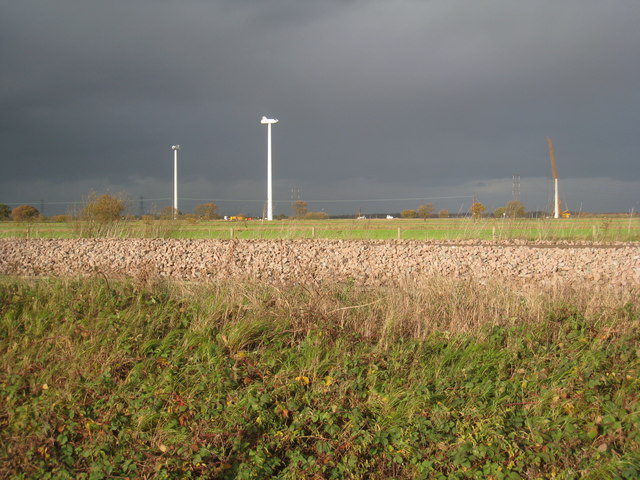
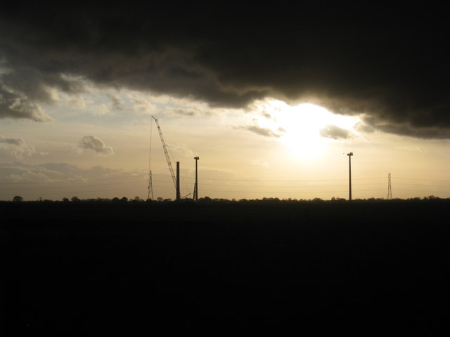
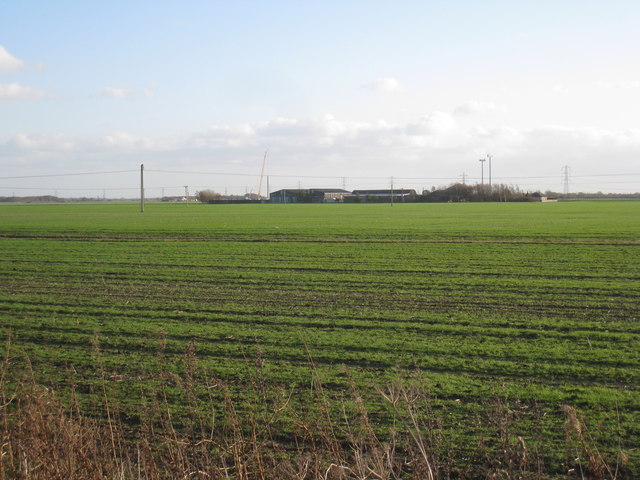
Thorne Images
Images are sourced within 2km of 53.606837/-0.935962 or Grid Reference SE7012. Thanks to Geograph Open Source API. All images are credited.


Thorne is located at Grid Ref: SE7012 (Lat: 53.606837, Lng: -0.935962)
Division: West Riding
Administrative County: South Yorkshire
District: Doncaster
Police Authority: South Yorkshire
What 3 Words
///trudges.remote.uptake. Near Thorne, South Yorkshire
Nearby Locations
Related Wikis

Trinity Academy, Thorne
Trinity Academy is a non-selective co-educational secondary school in the English Academy programme, at Thorne near Doncaster, South Yorkshire, England...
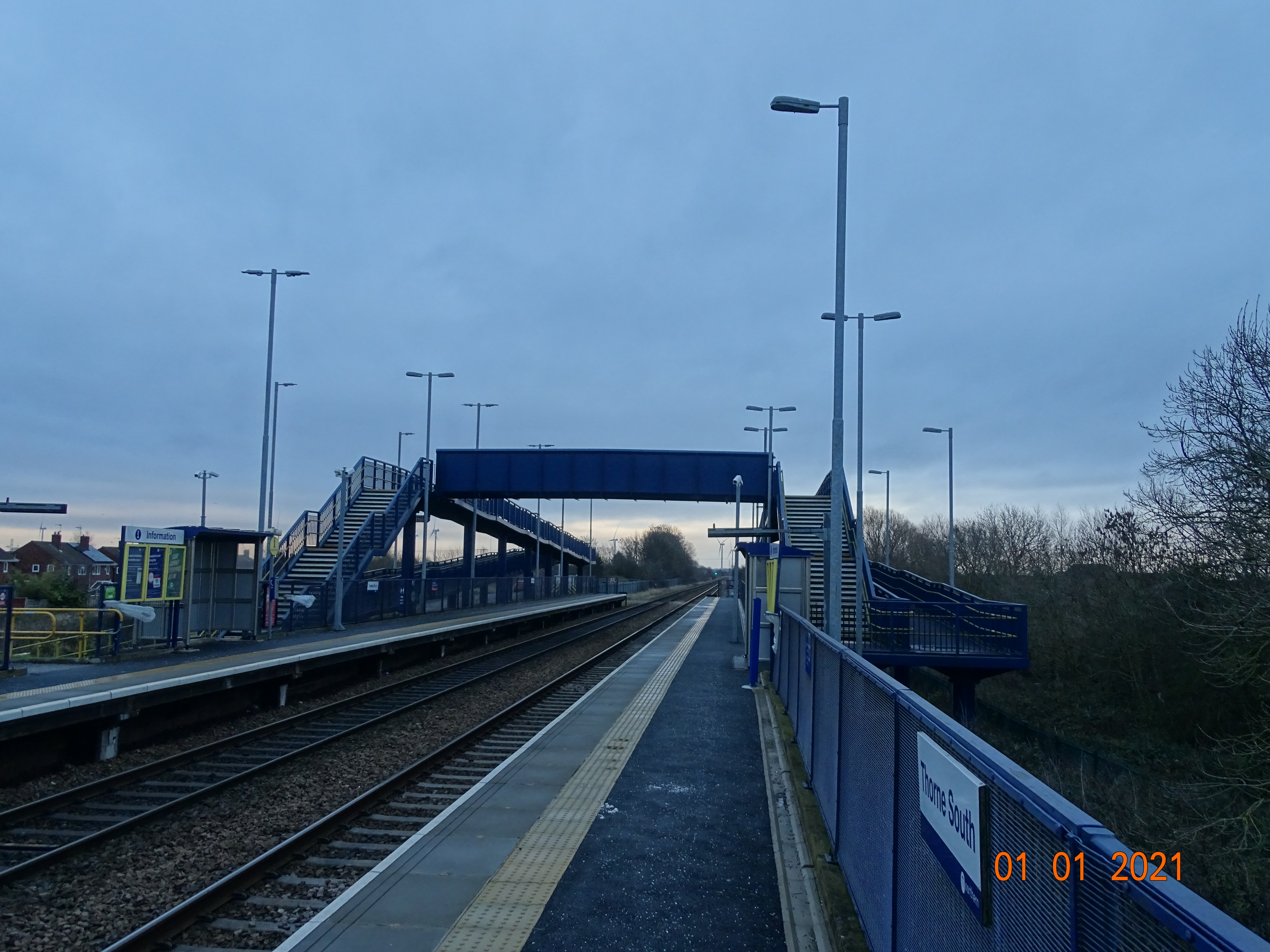
Thorne South railway station
Thorne South railway station is one of two stations serving the town of Thorne in South Yorkshire, England. The station is 9.75 miles (16 km) north of...

Maud's Bridge railway station
Maud's Bridge was a small railway station built by the South Yorkshire Railway on its line between Thorne and Keadby. The station was situated between...

Thorne, South Yorkshire
Thorne is a market town and civil parish in the City of Doncaster in South Yorkshire, England. It was historically part of the West Riding of Yorkshire...

Thorne & Moorends (ward)
Thorne & Moorends—consisting of the town of Thorne, plus Moorends and Waterside—is one of 21 electoral wards in the Metropolitan Borough of Doncaster,...
Thorne Memorial Park Miniature Railway
Thorne Memorial Park Miniature Railway is a 7+1⁄4 in (184 mm) gauge and 5 in (127 mm) gauge miniature railway built in 1998 in Thorne, South Yorkshire...
Thorne Waterside railway station
Thorne Waterside railway station, sometimes referred to as "Thorne Lock" because of its location, was built by the South Yorkshire Railway as the terminus...
Thorne (Old) railway station
Thorne (Old) railway station was the second railway station built by the South Yorkshire Railway to serve the town of Thorne, South Yorkshire, England...
Nearby Amenities
Located within 500m of 53.606837,-0.935962Have you been to Thorne?
Leave your review of Thorne below (or comments, questions and feedback).