Bryn-y-Bedd
Settlement in Caernarfonshire
Wales
Bryn-y-Bedd

Bryn-y-Bedd is a small village located in the historic county of Caernarfonshire, in the northwestern part of Wales. Situated about 7 miles southeast of the town of Caernarfon, Bryn-y-Bedd is nestled within the picturesque countryside of Snowdonia National Park. The village is surrounded by rolling hills, lush green fields, and meandering streams, offering residents and visitors a tranquil and idyllic setting.
Bryn-y-Bedd is a tight-knit community with a population of around 300 people. The village is known for its close community spirit, where neighbors often come together to organize events and support one another. The village has a primary school, which serves the local children, and a small church that dates back several centuries, adding to the historical charm of the area.
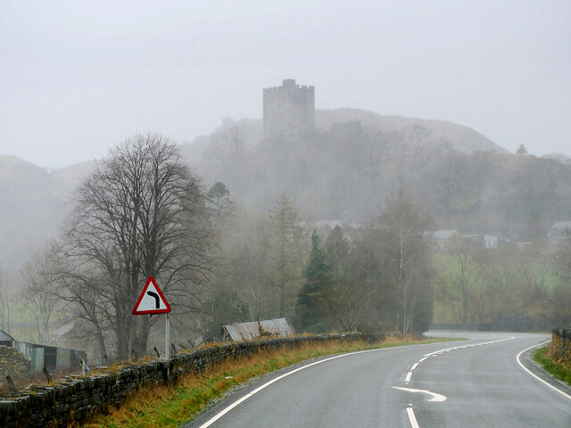
The village is a haven for outdoor enthusiasts, with numerous walking and hiking trails crisscrossing the surrounding countryside. The nearby Snowdon, the highest mountain in Wales, is a popular destination for climbers and hikers, attracting visitors from far and wide. The area is also home to several rivers and lakes, making it an ideal spot for fishing and boating activities.
Despite its secluded location, Bryn-y-Bedd is not far from amenities. The town of Caernarfon offers a range of shops, restaurants, and leisure facilities, ensuring that residents have access to all essential services. Additionally, the village benefits from good transport links, with regular bus services connecting it to nearby towns and cities.
In summary, Bryn-y-Bedd is a charming village situated in the heart of the beautiful Caernarfonshire countryside. With its strong sense of community, stunning natural surroundings, and proximity to amenities, it offers a peaceful and fulfilling lifestyle for its residents.
If you have any feedback on the listing, please let us know in the comments section below.
Bryn-y-Bedd Images
Images are sourced within 2km of 53.052753/-3.894164 or Grid Reference SH7352. Thanks to Geograph Open Source API. All images are credited.


Bryn-y-Bedd is located at Grid Ref: SH7352 (Lat: 53.052753, Lng: -3.894164)
Unitary Authority: Conwy
Police Authority: North Wales
Also known as: Brynybedd
What 3 Words
///diplomats.quote.fallback. Near Blaenau-Ffestiniog, Gwynedd
Nearby Locations
Related Wikis
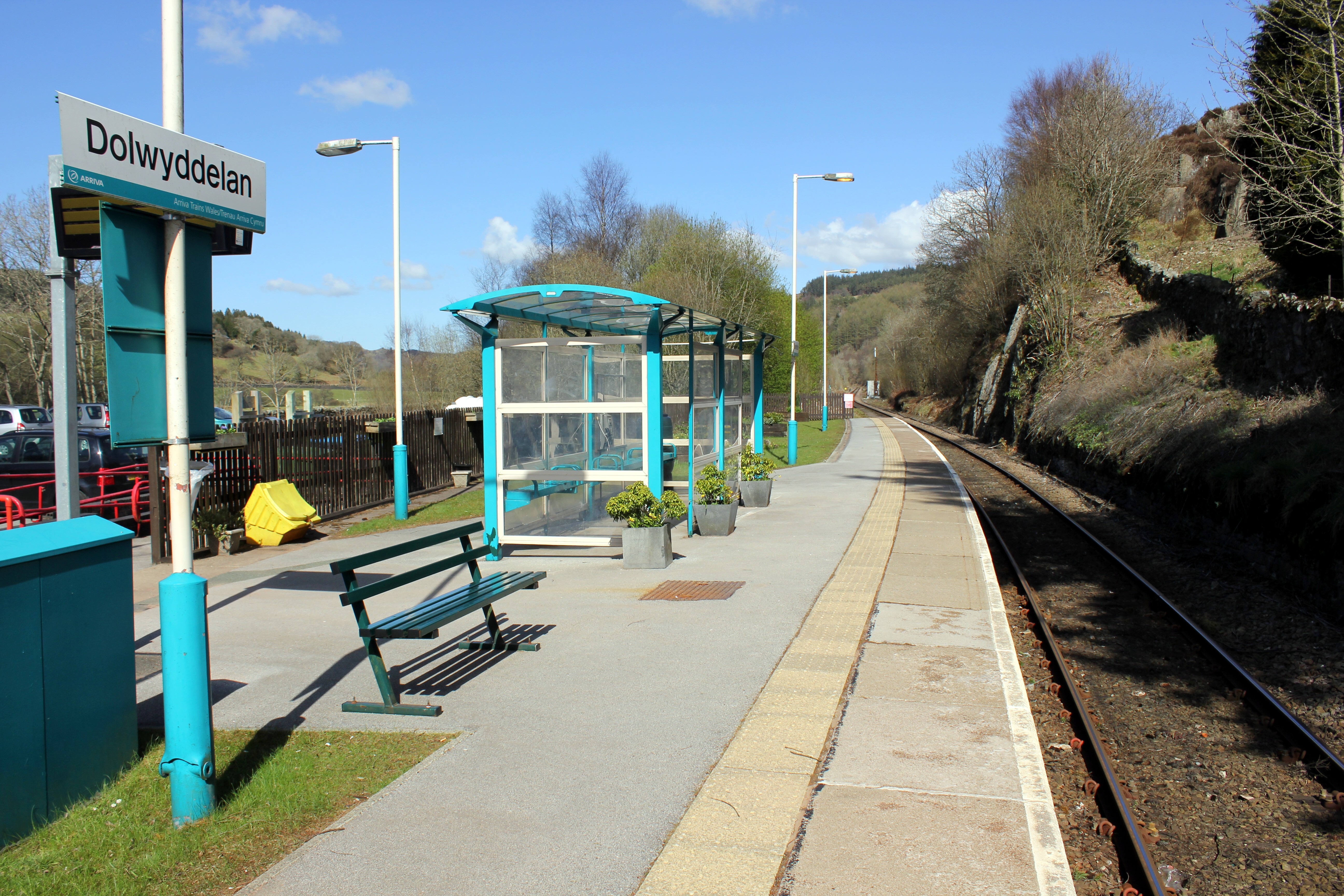
Dolwyddelan railway station
Dolwyddelan railway station is a passenger station in the Lledr Valley, Wales, on the Conwy Valley Line from Llandudno Junction to Blaenau Ffestiniog,...

Pentre Bont
Pentre Bont is a small village in the Dolwyddelan community, in the historic county of Caernarfonshire and county borough of Conwy. == References... ==
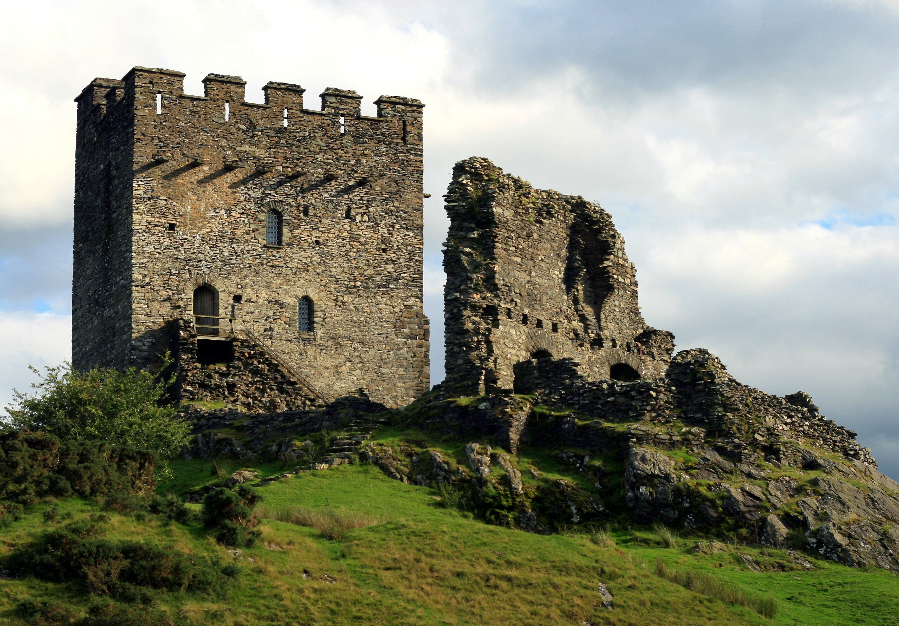
Dolwyddelan Castle
Dolwyddelan Castle ( dol-with-EL-an; Welsh: Castell Dolwyddelan; Welsh pronunciation: [kastɛɬ dɔlwɪð’ɛlan]) is a thirteenth-century castle located west...
Chwarel Ddu quarry
Chwarel Ddu quarry was the earliest slate quarry in the Lledr Valley. It was working before 1810, and continued in sporadic operation until the late 1920s...
Nearby Amenities
Located within 500m of 53.052753,-3.894164Have you been to Bryn-y-Bedd?
Leave your review of Bryn-y-Bedd below (or comments, questions and feedback).