Brynuchel
Settlement in Montgomeryshire
Wales
Brynuchel

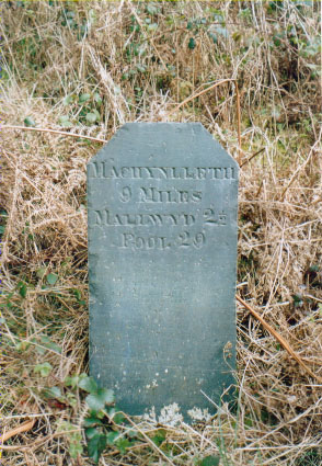
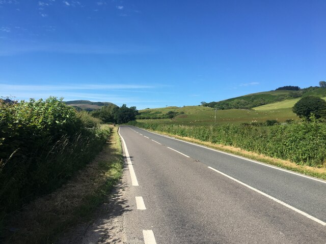
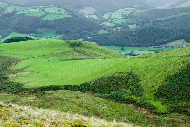
Brynuchel is a small village located in the county of Montgomeryshire, Wales. Situated in the scenic Welsh countryside, it is nestled between rolling hills and lush green fields, offering residents and visitors breathtaking views of the surrounding landscape. The village is located approximately 10 miles west of the town of Newtown and can be accessed via the A483 road.
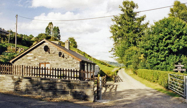
With a population of around 200 people, Brynuchel maintains a close-knit community atmosphere. The village is primarily residential, with a mix of traditional cottages and more modern houses. The tranquil and picturesque surroundings make it an attractive place to live for those seeking a peaceful and rural lifestyle.
Brynuchel is also known for its strong agricultural heritage. The fertile land surrounding the village is used for farming, with many residents involved in agricultural activities. The village hosts a weekly farmers' market, where locals and visitors can purchase fresh produce and locally sourced goods.
There are limited amenities within the village itself, but neighboring towns such as Newtown offer a wider range of services and facilities, including shops, schools, and healthcare. The surrounding area provides ample opportunities for outdoor activities, such as hiking, cycling, and fishing, with several nature reserves and trails nearby.
Overall, Brynuchel offers a charming and idyllic countryside setting, making it an appealing destination for those seeking a peaceful rural lifestyle or a place to immerse themselves in the natural beauty of Montgomeryshire.
If you have any feedback on the listing, please let us know in the comments section below.
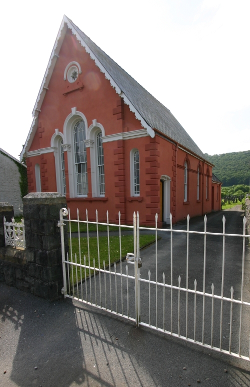
Brynuchel Images
Images are sourced within 2km of 52.663758/-3.689342 or Grid Reference SH8508. Thanks to Geograph Open Source API. All images are credited.


Brynuchel is located at Grid Ref: SH8508 (Lat: 52.663758, Lng: -3.689342)
Unitary Authority: Powys
Police Authority: Dyfed Powys
What 3 Words
///whites.escalated.answers. Near Cwm-Llinau, Powys
Nearby Locations
Related Wikis

Afon Angell
The Afon Angell is a river in Gwynedd, Mid Wales. The river flows eastwards from its source on the eastern flank of Mynydd Dolgoed, joining the Afon Dyfi...

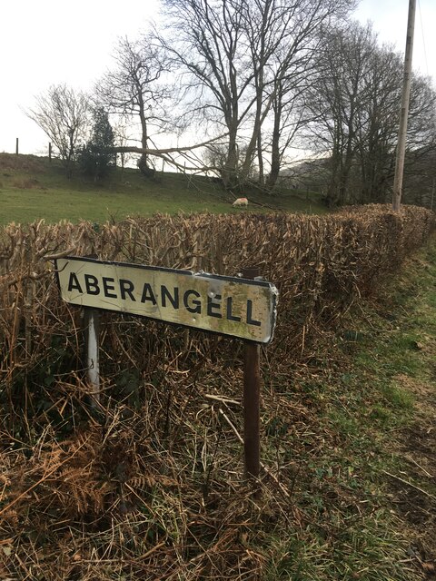
Aberangell
Aberangell () is a village in Gwynedd, Wales. == Geography == Aberangell stands at the confluence of the Afon Angell and the Afon Dyfi, and lies within...

Aberangell railway station
Aberangell railway station was an intermediate railway station on the Mawddwy Railway which ran from Cemmaes Road to Dinas Mawddy in the Welsh county...
Cemmaes railway station
Cemmaes railway station was an intermediate railway station on the Mawddwy Railway which ran from Cemmaes Road to Dinas Mawddy in the Welsh county of...
Cemmaes
Cemmaes (Welsh: Cemaes) is a village in northern Powys, Wales, in Glantwymyn community. The population numbered 935 in 1841, this dropped sharply between...

Mallwyd
Mallwyd () is a small village at the most southern end of Gwynedd, Wales, in the Dinas Mawddwy community, in the valley of the River Dyfi. It lies on the...
Moel y Ffridd
Moel y Ffridd (also known as Foel y Ffridd) is a mountain in Wales. It lies north-west of the village of Aberangell and west of Mallwyd and is one of the...

Afon Twymyn
The Afon Twymyn (English: River Twymyn) is a river in Powys, Mid Wales. From its source at the 40-metre high Ffrwd Fawr waterfall and head of the Pennant...
Nearby Amenities
Located within 500m of 52.663758,-3.689342Have you been to Brynuchel?
Leave your review of Brynuchel below (or comments, questions and feedback).