Tattingstone

Civil Parish in Suffolk Babergh

England

Tattingstone

Bentley Lane From Stutton towards Bentley.
Bentley Lane Credit: Robin Webster

Tattingstone is a civil parish located in the county of Suffolk, England. It is situated approximately 8 miles south of the town of Ipswich, on the eastern bank of the River Orwell. The parish covers an area of around 9 square miles and is home to a population of approximately 500 residents.

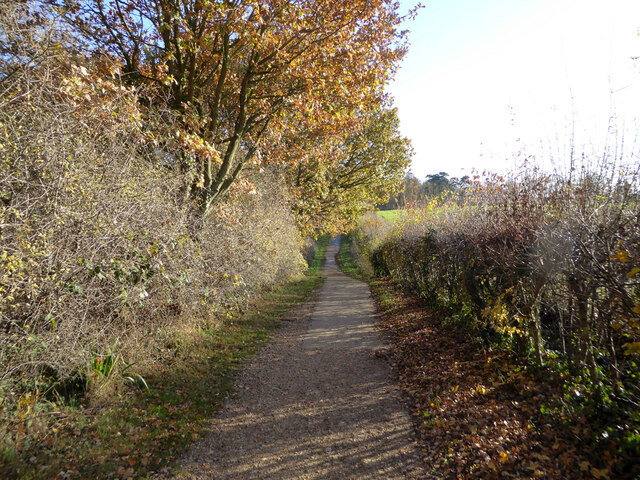
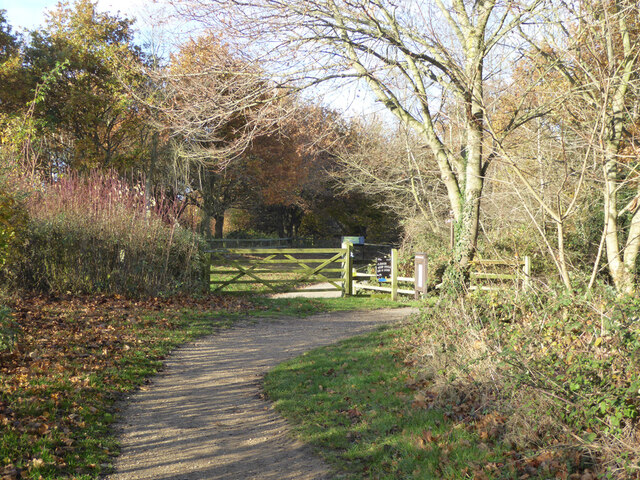
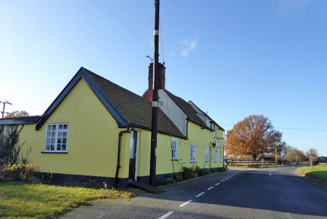
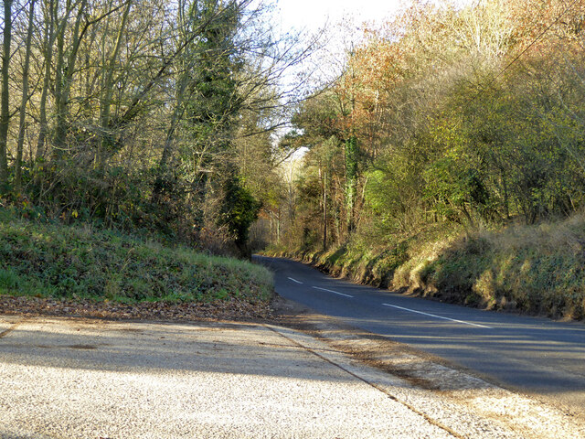
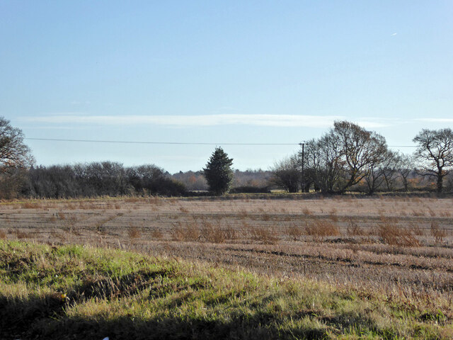
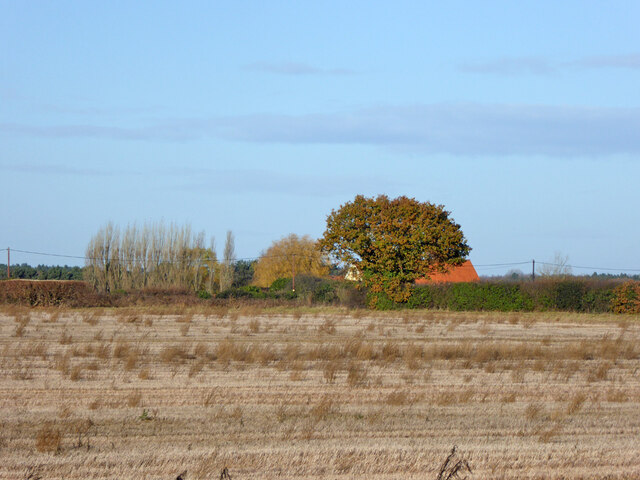
The village of Tattingstone itself is characterized by its picturesque rural setting, with rolling hills, lush green fields, and charming countryside views. It is surrounded by a mix of farmland and woodland, creating a tranquil and idyllic atmosphere. The parish is also known for its proximity to Alton Water, a large reservoir that offers various recreational activities such as sailing, fishing, and birdwatching.

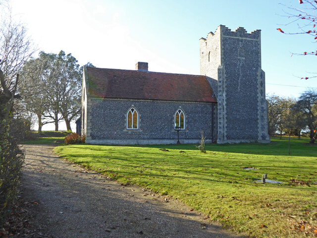
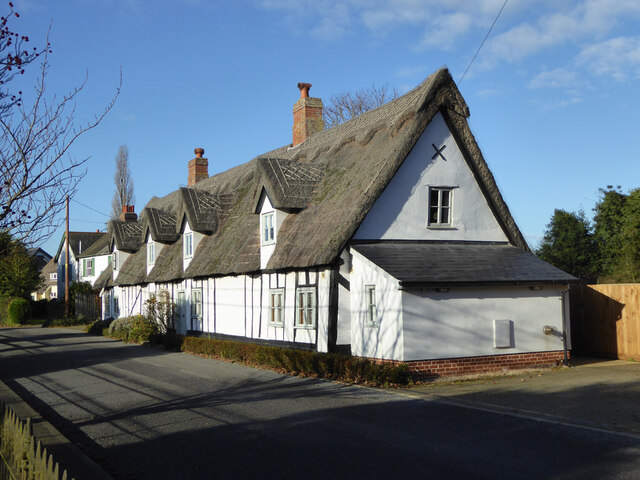
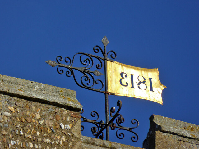
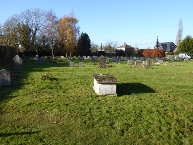
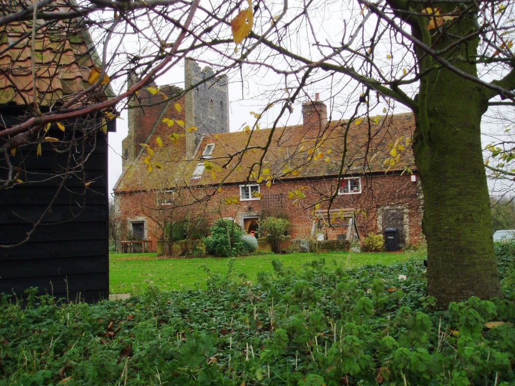
The village features a number of historic buildings, including the Church of St. Mary, a Grade II listed church dating back to the 14th century. The church is known for its impressive architecture and beautiful stained glass windows. Other notable landmarks in the area include Tattingstone Park, a grand Georgian mansion that has been converted into luxury apartments, and Tattingstone Wonder, a natural phenomenon created by a 1950s excavation that exposed an ancient river channel.

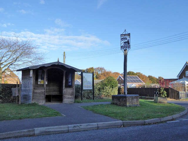
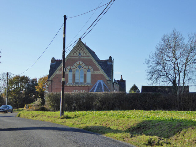
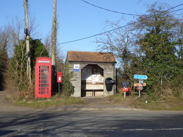
Tattingstone has a close-knit community, with a local pub, village hall, and primary school providing essential amenities and social spaces. The area also benefits from excellent transport links, with easy access to major roads and nearby train stations. Overall, Tattingstone offers a peaceful and charming environment for residents and visitors alike, with its natural beauty and rich history contributing to its appeal.

If you have any feedback on the listing, please let us know in the comments section below.
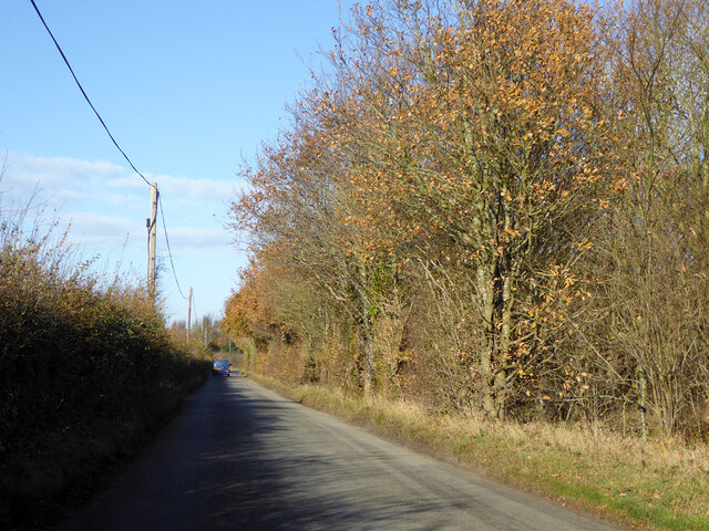
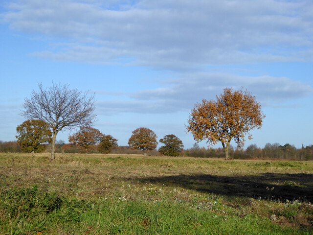
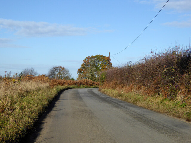
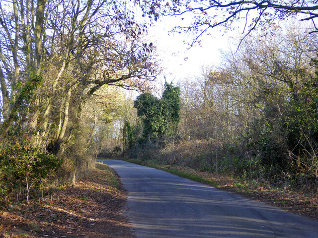
Tattingstone Images

Images are sourced within 2km of 51.991456/1.111206 or Grid Reference TM1337. Thanks to Geograph Open Source API. All images are credited.

Bentley Lane From Stutton towards Bentley.
Bentley Lane
From Stutton towards Bentley.
Trees on drive to Argent Manor
Bentley Lane From Stutton towards Bentley.
Bentley Lane
From Stutton towards Bentley.
Lane towards Tattingstone
Cycle path around Alton Water Over this part rather removed from watery views.
Cycle path around Alton Water
Over this part rather removed from watery views.
Cycle path around Alton Water A car park is ahead.
Cycle path around Alton Water
A car park is ahead.
The Tattingstone Wonder The local squire decided he didn't like the look of some cottages when viewed from his seat, so had built a sham church to disguise them. The tower has only three sides, and the trick is revealed when viewed from the other side. The churchification dates from about 1790, a grade II*(star) listed building.
The Tattingstone Wonder
The local squire decided he didn't like the look of some cottages when viewed from his seat, so had built a sham church to disguise them. The tower has only three sides, and the trick is revealed when viewed from the other side. The churchification dates from about 1790, a grade II*(star) listed building.
Bus shelter, village sign and information, Tattingstone
Cottages, Church Road, Tattingstone A grade II listed building, 17th century.
Cottages, Church Road, Tattingstone
A grade II listed building, 17th century.
Weathervane, Tattingstone church The church is much older than 1813, although the 'tower has been much restored and repaired'.
Weathervane, Tattingstone church
The church is much older than 1813, although the 'tower has been much restored and repaired'.
Graveyard, Tattingstone
Former Methodist chapel, Tattingstone Now residential.
Former Methodist chapel, Tattingstone
Now residential.
The Wheatsheaf,  Church Road, Tattingstone
The Wheatsheaf, Church Road, Tattingstone
Station Road towards Bentley
Tattingstone White Horse bus stop Complete with all the usual village add-ons.
Tattingstone White Horse bus stop
Complete with all the usual village add-ons.
Inn sign, White Horse, Tattingstone White Horse
Field south and west of Coxhall Road Looking across the angle as the road bends round the field.
Field south and west of Coxhall Road
Looking across the angle as the road bends round the field.
Field south and west of Coxhall Road
Show me another place!

Tattingstone is located at Grid Ref: TM1337 (Lat: 51.991456, Lng: 1.111206)

Administrative County: Suffolk

District: Babergh

Police Authority: Suffolk

What 3 Words

///huddle.exits.stared. Near Holbrook, Suffolk

Nearby Locations

Tattingstone Tattingstone

Related Wikis

Tattingstone

Tattingstone is a village and civil parish in Suffolk, England. It is situated on the Shotley peninsula, about 5 miles (8 km) south of Ipswich. The 2011...

Tattingstone Wonder

The Tattingstone Wonder is a folly at Tattingstone in Suffolk, England. Located some 6 miles (9.7 km) south of Ipswich the Tattingstone Wonder was originally...

Blackbourn Hundred

Blackbourn was a hundred of Suffolk, consisting of 66,272 acres (26,819 ha). Blackbourn hundred was situated in the north-west of Suffolk. Its northern...

Samford Hundred

Samford was a hundred of Suffolk, consisting of 44,940 acres (181.9 km2). It was situated to the south and south west of Ipswich. The hundred was bounded...

Related Videos

Alton Water - Suffolk

A quick evening tour of Alton Water in Suffolk #drone #dronevideo #dronephotography.

What is under Alton water

What is under there, its massive so there should be something cool right?

SUMMER IS HERE 2016 | T-Shirt Weather | GoPro Hero 4

A short video of our day out at #AltonWater, Suffolk. SONG: 'T-Shirt Weather' by Circa Waves ...

Nearby Amenities

Located within 500m of 51.991456,1.111206
Tattingstone
Place: village
Wikidata: Q1797401
Wikipedia: en:Tattingstone
Lat/Long: 51.991821/1.1100039
Post Box
Operator: Royal Mail
Operator Type: private
Operator Wikidata: Q638098
Post Box Design: type_m
Post Box Type: lamp
Postal Code: IP9 2NA
Ref: IP9 1236
Royal Cypher: EIIR
Royal Cypher Wikidata: Q33102113
Lat/Long: 51.99216/1.1102236
Bus Stop
Church
Local Ref: opp
Naptan AtcoCode: 390010067
Naptan Bearing: E
Naptan CommonName: Church
Naptan Landmark: Church
Naptan NaptanCode: sufadgjm
Naptan Street: Church Road
Naptan Verified: no
Public Transport: platform
Source: naptan_import
Lat/Long: 51.9918443/1.1098069
Bus Stop
Church
Local Ref: adj
Naptan AtcoCode: 390010068
Naptan Bearing: W
Naptan CommonName: Church
Naptan Landmark: Church
Naptan NaptanCode: sufadgjp
Naptan Street: Church Road
Naptan Verified: no
Public Transport: platform
Source: naptan_import
Lat/Long: 51.9917857/1.1096466
Power: pole
Lat/Long: 51.9929753/1.1075726
Power: pole
Lat/Long: 51.9937532/1.1071919
Power: pole
Lat/Long: 51.9921578/1.1077899
Power: pole
Lat/Long: 51.9927012/1.1115959
Power: pole
Lat/Long: 51.9934774/1.1092061
Power: pole
Lat/Long: 51.9942288/1.1061646
Power: pole
Lat/Long: 51.9942734/1.1061431
Power: pole
Lat/Long: 51.9932247/1.1083692
Power: pole
Lat/Long: 51.992972/1.1075137
Power: pole
Lat/Long: 51.9932462/1.110346
Produce: eggs;vegetables
Shop: farm
Lat/Long: 51.9894034/1.1111484
Place Of Worship
St Mary
Denomination: anglican
Religion: christian
Source: NPE
Url: http://www.suffolkchurches.co.uk/tattingstone.html
Wikidata: Q17534738
Lat/Long: 51.991626/1.1097372
Parking
Lat/Long: 51.9933783/1.1100778
Shelter
Lat/Long: 51.9918547/1.1098632
Parking
Lat/Long: 51.9881491/1.1138704
Hiking: yes
Information: guidepost
Tourism: information
Lat/Long: 51.994067/1.1108469
Information: board
Tourism: information
Lat/Long: 51.994072/1.1108898
Bench
Lat/Long: 51.9938172/1.1130591
Bench
Lat/Long: 51.993754/1.1130618
Bench
Lat/Long: 51.9909199/1.1160873
Defibrillator
Defibrillator Location: On the front wall of the village hall
Emergency: defibrillator
Indoor: no
Ref: AAF18
Ref GB The Circuit: 0C7F43C3-4B92-4E5B-84C4-AE9000B8EF0C
Lat/Long: 51.9922048/1.1102402
The data included in this document is from www.openstreetmap.org. The data is made available under ODbL.

Have you been to Tattingstone?

Leave your review of Tattingstone below (or comments, questions and feedback).