Tankersley
Civil Parish in Yorkshire Barnsley
England
Tankersley

Tankersley is a civil parish located in the metropolitan county of South Yorkshire, England. Situated within the Barnsley borough, it is a rural area encompassing the village of Tankersley and its surrounding countryside. The parish lies about 9 miles northwest of the town of Barnsley and approximately 7 miles south of the city of Sheffield.
Tankersley is known for its picturesque landscapes and tranquil atmosphere. The village itself is small, with a population of around 200 people. It is characterized by charming stone-built houses and cottages, giving it a traditional and idyllic feel.
The surrounding countryside offers ample opportunities for outdoor activities and exploration. There are several nature reserves and woodlands nearby, providing beautiful walking trails and wildlife spotting opportunities. The area is particularly popular with birdwatchers, as it is home to a variety of species.
Tankersley also has a rich history. The parish church of St Peter's, dating back to the 12th century, is a notable landmark. The village was once an important coal mining area, and remnants of this industrial past can still be seen in the form of old mine buildings and shafts.
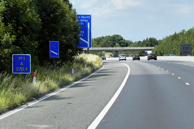
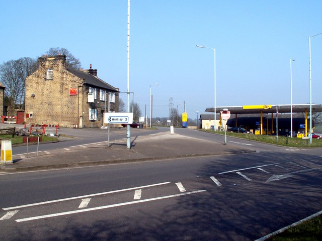
Despite its rural setting, Tankersley benefits from its proximity to major urban centers. The nearby city of Sheffield offers a range of amenities, including shopping centers, restaurants, and cultural attractions. Additionally, the village is well-connected to the wider region through a network of roads, making it easily accessible for both residents and visitors alike.
If you have any feedback on the listing, please let us know in the comments section below.
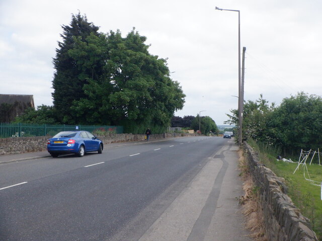
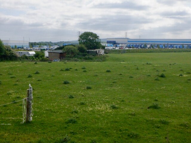
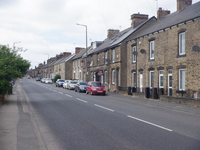
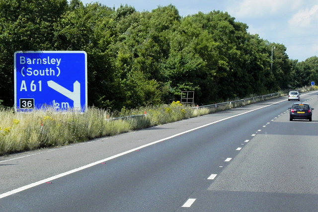
Tankersley Images
Images are sourced within 2km of 53.488284/-1.488943 or Grid Reference SK3499. Thanks to Geograph Open Source API. All images are credited.


Tankersley is located at Grid Ref: SK3499 (Lat: 53.488284, Lng: -1.488943)
Division: West Riding
Administrative County: South Yorkshire
District: Barnsley
Police Authority: South Yorkshire
What 3 Words
///remarked.garlic.sudden. Near Chapeltown, South Yorkshire
Related Wikis

Tankersley, South Yorkshire
Tankersley is a village and civil parish in the Metropolitan Borough of Barnsley in South Yorkshire, England. At the 2001 census it had a population of...

Westwood railway station
Westwood railway station was situated on the South Yorkshire Railway's Blackburn Valley line between Chapeltown Central and Birdwell & Hoyland Common....
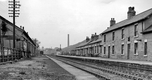
Birdwell & Hoyland Common railway station
Birdwell & Hoyland Common railway station was a railway station on the South Yorkshire Railway's Blackburn Valley line between Westwood and High Royds...

Birdwell, South Yorkshire
Birdwell is a village in the Metropolitan Borough of Barnsley in South Yorkshire, England and is located approximately 4.5 miles (7 km) south of Barnsley...

Pilley, South Yorkshire
Pilley is a village in the metropolitan borough of Barnsley in South Yorkshire, England. Pilley is situated to the south of Barnsley and to the west of...
High Green
High Green is the northernmost suburb of Sheffield, England, located about 8 miles from the city centre. It is found to the north of Chapeltown and is...

Society of Glass Technology
The Society of Glass Technology (SGT) is an organization for individuals and organizations with a professional interest in glass manufacture and usage...

Wentworth railway station
Wentworth railway station was a railway station on the Sheffield to Barnsley route of the Midland Railway. The station has been known as Wentworth and...
Nearby Amenities
Located within 500m of 53.488284,-1.488943Have you been to Tankersley?
Leave your review of Tankersley below (or comments, questions and feedback).