Bull Wood
Wood, Forest in Yorkshire
England
Bull Wood

Bull Wood is a picturesque forest located in the county of Yorkshire, England. Situated on the outskirts of a small village, this woodland is a popular destination for nature enthusiasts and outdoor enthusiasts alike.
Covering an area of approximately 500 acres, Bull Wood is characterized by its dense tree canopy, which is predominantly made up of oak, beech, and ash trees. These towering trees create a serene and tranquil atmosphere, providing a sanctuary for a variety of wildlife species.
The forest is crisscrossed with a network of well-maintained walking trails, making it an ideal location for hikers and walkers. These trails wind their way through the woodland, allowing visitors to explore the diverse flora and fauna that call Bull Wood their home.
In addition to its natural beauty, Bull Wood also has historical significance. The forest has been documented as far back as the 12th century and has been a source of timber for the local communities for centuries. Today, remnants of old saw pits and charcoal burning platforms can still be seen, serving as a reminder of the area's rich past.
Bull Wood is also known for its seasonal displays of wildflowers, which carpet the forest floor with bursts of color during the spring and summer months. This, coupled with the chorus of birdsong and the occasional sighting of deer or foxes, makes Bull Wood a haven for photographers and nature lovers seeking to capture the beauty of the natural world.
Overall, Bull Wood in Yorkshire is a captivating destination that offers a peaceful escape from the hustle and bustle of everyday life.
If you have any feedback on the listing, please let us know in the comments section below.
Bull Wood Images
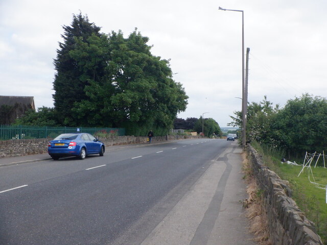
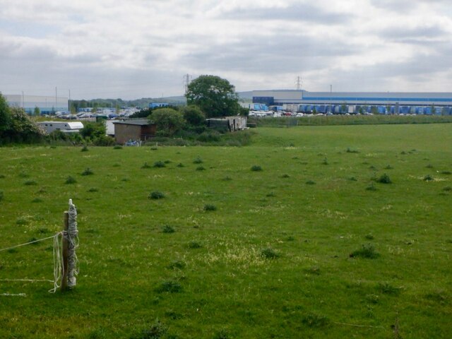
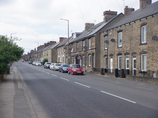
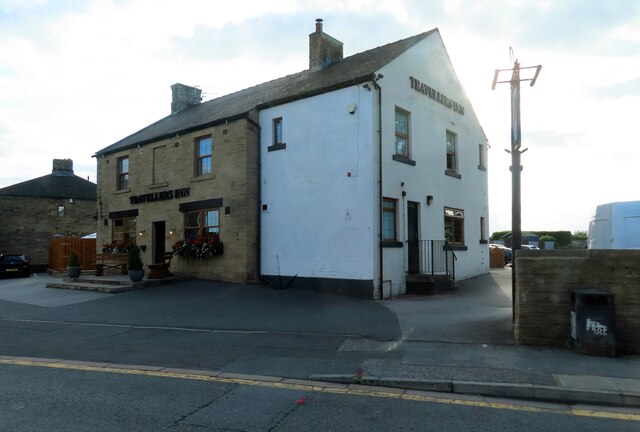
Images are sourced within 2km of 53.489573/-1.4770564 or Grid Reference SK3499. Thanks to Geograph Open Source API. All images are credited.


Bull Wood is located at Grid Ref: SK3499 (Lat: 53.489573, Lng: -1.4770564)
Division: West Riding
Unitary Authority: Barnsley
Police Authority: South Yorkshire
What 3 Words
///riverbank.doors.flaking. Near Hoyland Nether, South Yorkshire
Related Wikis

Tankersley, South Yorkshire
Tankersley is a village and civil parish in the Metropolitan Borough of Barnsley in South Yorkshire, England. At the 2001 census it had a population of...

Westwood railway station
Westwood railway station was situated on the South Yorkshire Railway's Blackburn Valley line between Chapeltown Central and Birdwell & Hoyland Common....
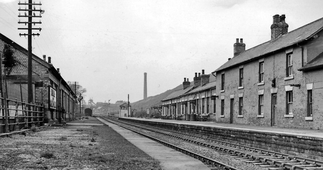
Birdwell & Hoyland Common railway station
Birdwell & Hoyland Common railway station was a railway station on the South Yorkshire Railway's Blackburn Valley line between Westwood and High Royds...

Pilley, South Yorkshire
Pilley is a village in the metropolitan borough of Barnsley in South Yorkshire, England. Pilley is situated to the south of Barnsley and to the west of...

Birdwell, South Yorkshire
Birdwell is a village in the Metropolitan Borough of Barnsley in South Yorkshire, England and is located approximately 4.5 miles (7 km) south of Barnsley...

Wentworth railway station
Wentworth railway station was a railway station on the Sheffield to Barnsley route of the Midland Railway. The station has been known as Wentworth and...

Society of Glass Technology
The Society of Glass Technology (SGT) is an organization for individuals and organizations with a professional interest in glass manufacture and usage...
High Green
High Green is the northernmost suburb of Sheffield, England, located about 8 miles from the city centre. It is found to the north of Chapeltown and is...
Nearby Amenities
Located within 500m of 53.489573,-1.4770564Have you been to Bull Wood?
Leave your review of Bull Wood below (or comments, questions and feedback).