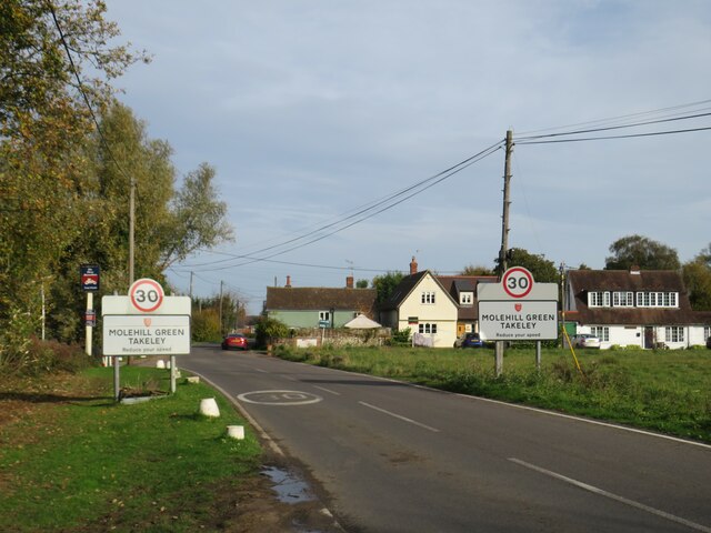
Takeley
Civil Parish in Essex Uttlesford
England
Takeley
Takeley is a civil parish located in the county of Essex, in the eastern part of England. It is situated approximately 33 miles northeast of London and is part of the Uttlesford district. The parish covers an area of around 12 square miles and has a population of over 4,500 people.
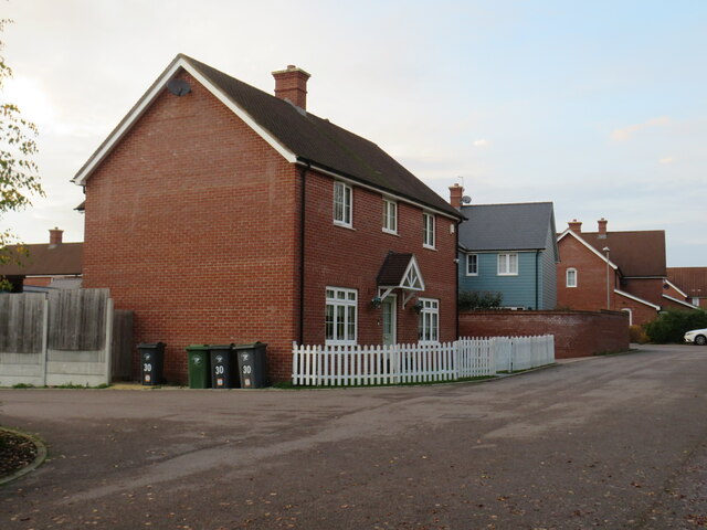
The village of Takeley is located near Stansted Airport, one of the busiest airports in the United Kingdom. As a result, the area has seen significant growth and development over the years, with many residents working in the aviation industry. Takeley is also well-connected to other parts of the country, with easy access to major road networks such as the M11 and A120.
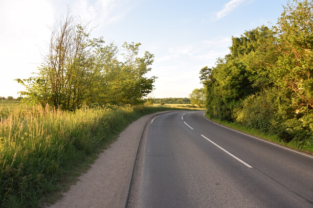
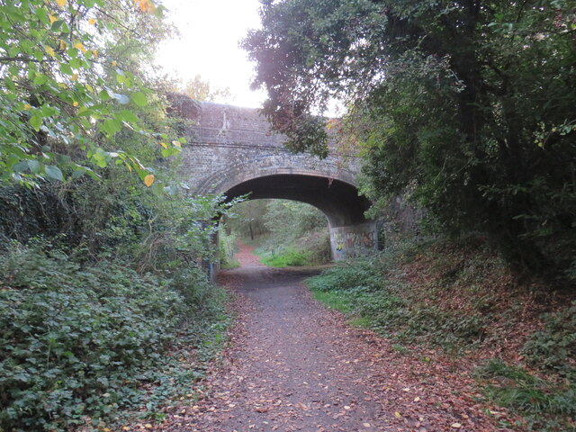
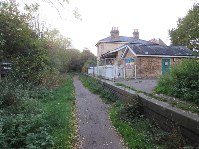
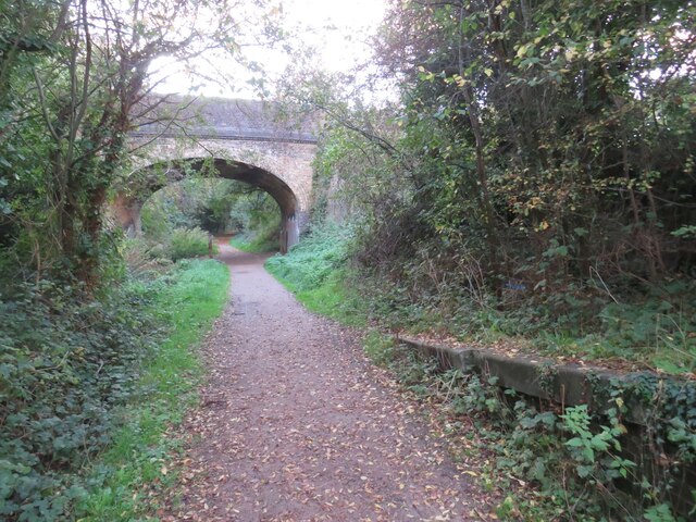
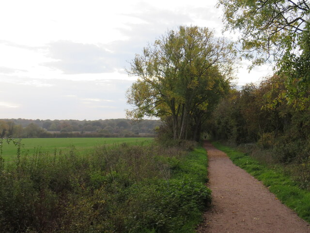
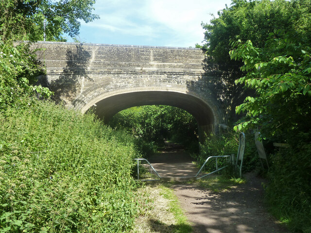
Despite its proximity to the airport and major transportation routes, Takeley retains a rural and picturesque charm. The village is surrounded by open countryside, offering residents and visitors ample opportunities for outdoor activities such as walking, cycling, and horse riding. The Flitch Way, a popular walking and cycling trail, passes through the parish.
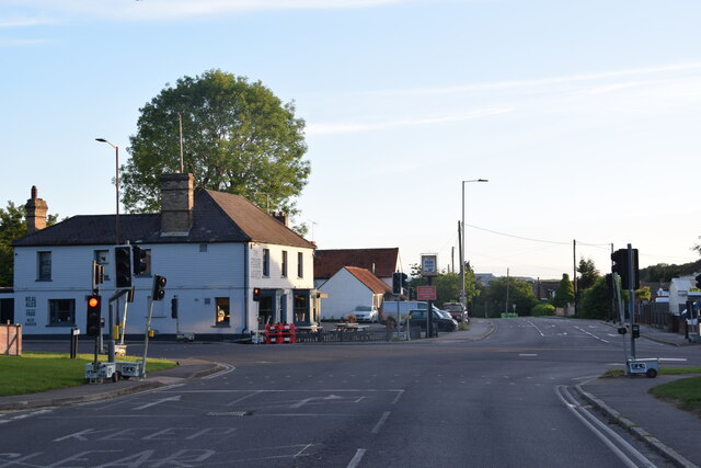
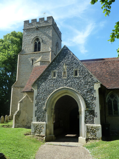
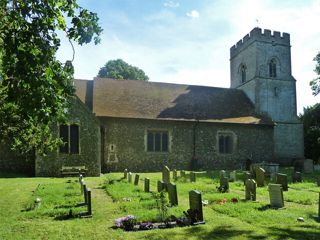
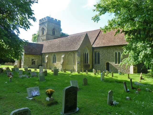
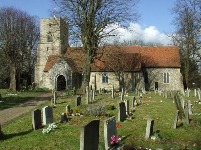
Takeley has a range of amenities and services to cater to the needs of its residents. These include local shops, pubs, a primary school, and a village hall that hosts various community events. The parish also benefits from several historical landmarks, including the 12th-century St. Mary the Virgin Church.
Overall, Takeley provides a balance between the tranquility of the countryside and the convenience of its location near major transport links, making it an attractive place to live for both families and commuters.
If you have any feedback on the listing, please let us know in the comments section below.
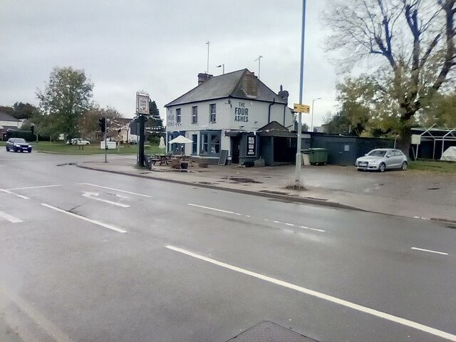
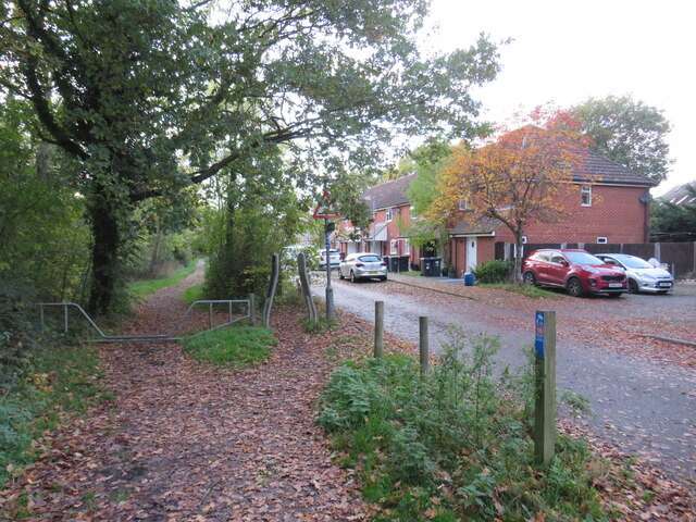
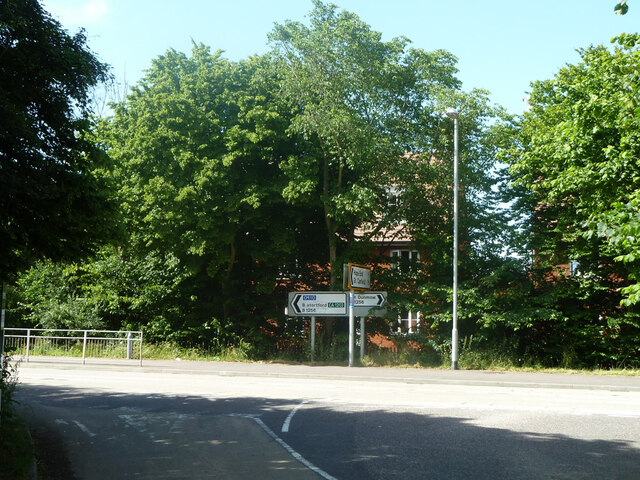
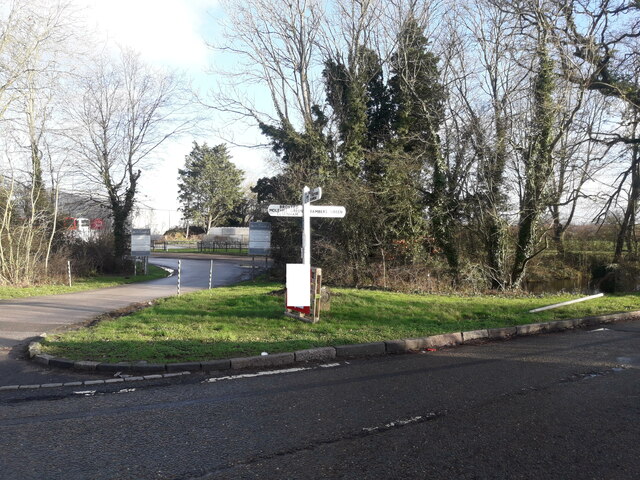
Takeley Images
Images are sourced within 2km of 51.880976/0.268486 or Grid Reference TL5622. Thanks to Geograph Open Source API. All images are credited.
Takeley is located at Grid Ref: TL5622 (Lat: 51.880976, Lng: 0.268486)
Administrative County: Essex
District: Uttlesford
Police Authority: Essex
What 3 Words
///acute.putts.extremely. Near Takeley, Essex
Nearby Locations
Related Wikis

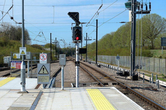
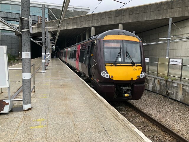
Stansted Airport railway station
Stansted Airport railway station is on a branch line off the West Anglia Main Line in the East of England and was opened in 1991 to provide a rail link...

Stansted Airport Transit System
The Stansted Airport Track Transit System (TTS) is a fully automated people mover system which operates within London Stansted Airport in the United Kingdom...

Takeley Priory
Takeley Priory, dedicated to Saint Valery, was a Benedictine monastery in Takeley, Essex, England, founded by William the Conqueror between 1066 and 1086...
Takeley
Takeley is a village and civil parish in the Uttlesford district of Essex, England. == History == A number of theories have arisen over the origin of the...

Bamber's Green
Bamber's Green is a hamlet in Essex, England. It is located near to Molehill Green and close to London Stansted Airport. The hamlet has approximately 20...
The Christian School, Takeley
The Christian School (Takeley) is an independent Christian school located in Takeley, Bishop's Stortford, Essex. The school caters for children of 7 through...

Takeley railway station
Takeley railway station was a station serving the Hockerill area of Takeley in Bishop's Stortford, England. The station was 5 miles 11 chains (8.27 km...
Takeley F.C.
Takeley Football Club is an English football club based in Takeley, Essex. The club are currently members of the Essex Senior League and play at Station...
Nearby Amenities
Located within 500m of 51.880976,0.268486Have you been to Takeley?
Leave your review of Takeley below (or comments, questions and feedback).