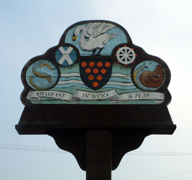
Swavesey

Civil Parish in Cambridgeshire South Cambridgeshire

England

Swavesey

Swavesey, St Andrew <span class="nowrap"><a title="http://www.druidic.org/camchurch/churches/swavesey.htm" rel="nofollow ugc noopener" href="http://www.druidic.org/camchurch/churches/swavesey.htm">Link</a><img style="margin-left:2px;" alt="External link" title="External link - shift click to open in new window" src="https://s1.geograph.org.uk/img/external.png" width="10" height="10"/></span>
Swavesey, St Andrew Credit: mym

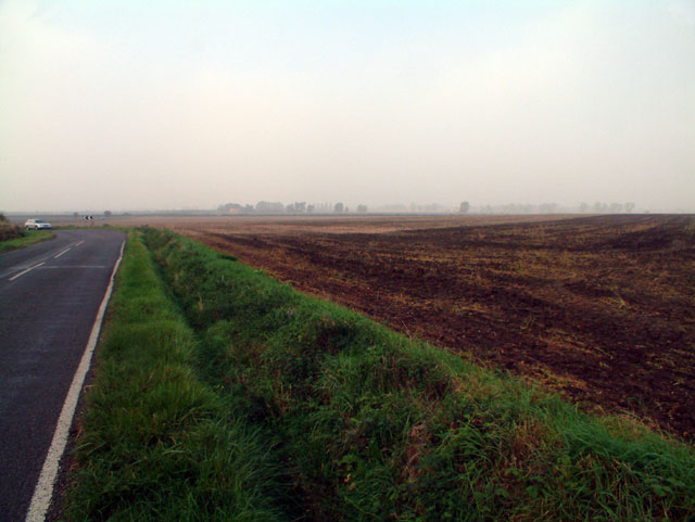
Swavesey is a civil parish located in the county of Cambridgeshire, England. It is situated approximately 9 miles northwest of the city of Cambridge and covers an area of around 2.5 square miles. The parish is bordered by the villages of Longstanton, Fen Drayton, Over, and Willingham.

The village of Swavesey has a population of around 2,500 residents, according to the latest census data. It has a rich history dating back to medieval times, with evidence of human habitation in the area dating as far back as the Neolithic period. The village grew in importance during the Middle Ages, with the construction of a church and the establishment of a market.

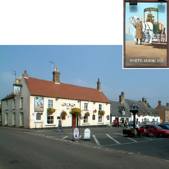
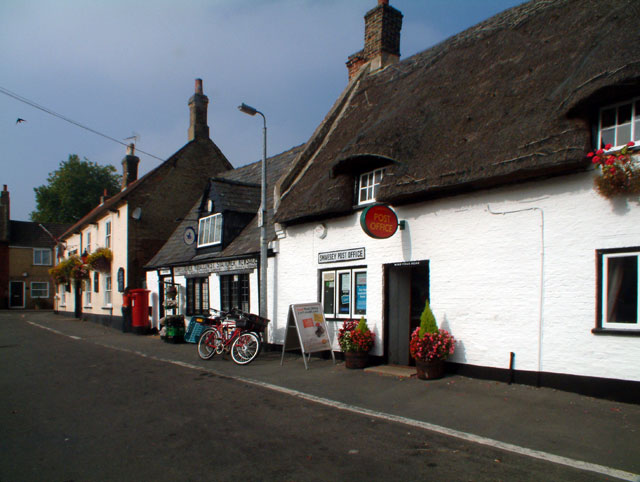
Today, Swavesey retains much of its historic charm, with several well-preserved buildings and landmarks. The Grade I listed St. Andrew's Church, dating from the 14th century, is a prominent feature in the village. The High Street is lined with traditional thatched cottages and a variety of local shops and amenities.

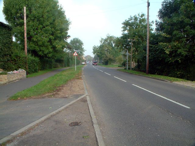
The parish is well-connected by road, with the A14 and A428 both passing nearby, providing easy access to Cambridge and other surrounding towns. Swavesey also benefits from good public transportation links, with regular bus services connecting it to neighboring villages and towns.

In terms of amenities, Swavesey offers a range of facilities, including a primary school, a village hall, a medical center, and sports facilities. The village also has several community groups and organizations, fostering a strong sense of community spirit.

If you have any feedback on the listing, please let us know in the comments section below.
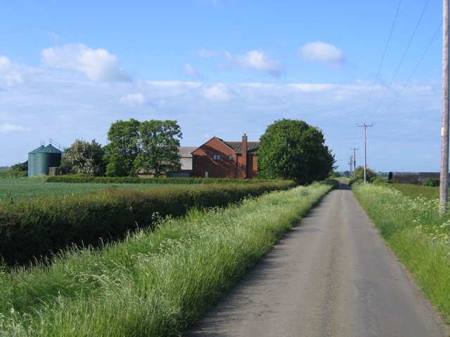
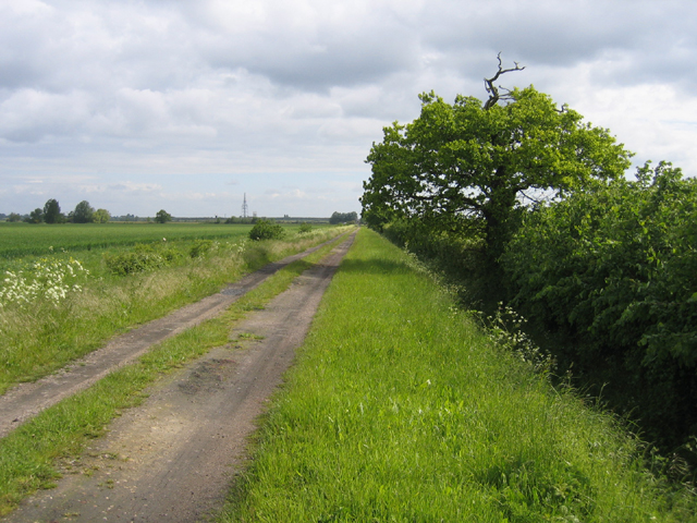
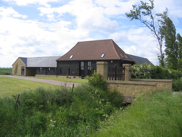
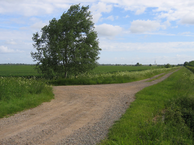
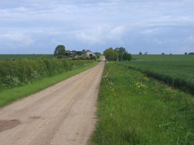
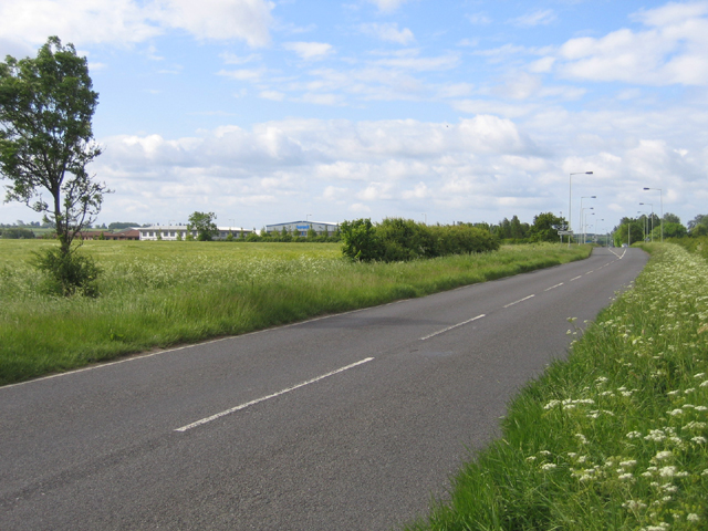
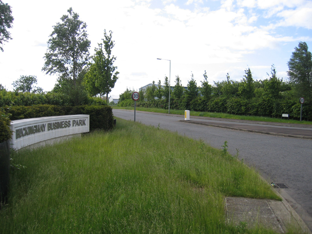
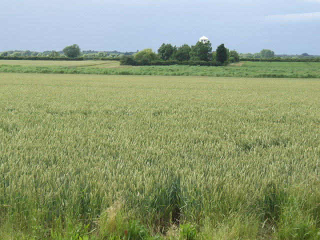
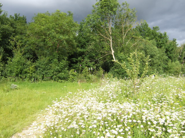
Swavesey Images

Images are sourced within 2km of 52.290078/-0.00104 or Grid Reference TL3667. Thanks to Geograph Open Source API. All images are credited.

Swavesey, St Andrew <span class="nowrap"><a title="http://www.druidic.org/camchurch/churches/swavesey.htm" rel="nofollow ugc noopener" href="http://www.druidic.org/camchurch/churches/swavesey.htm">Link</a><img style="margin-left:2px;" alt="External link" title="External link - shift click to open in new window" src="https://s1.geograph.org.uk/img/external.png" width="10" height="10"/></span>
Swavesey, St Andrew
Rose & Crown Road, CB4 Between Fen Drayton and Boxworth, looking west.
Rose & Crown Road, CB4
Between Fen Drayton and Boxworth, looking west.
Middle Watch, Swavesey CB4 Looking north
Middle Watch, Swavesey CB4
Looking north
The White Horse Inn, Swavesey CB4 The White Horse Inn at 1 Market Street dates from the mid-18th century, although it claims a history extending a further 200 years into the past.
The White Horse Inn, Swavesey CB4
The White Horse Inn at 1 Market Street dates from the mid-18th century, although it claims a history extending a further 200 years into the past.
Post Office, Swavesey CB4 Between the Post Office, at 5 Market Street, and the White Horse Inn at number 1, the general store announces; "Confectioner, Tobacconist, Stationer, Newsagent: Library, Pipes, Pouches, Views, Fancy Goods".
Post Office, Swavesey CB4
Between the Post Office, at 5 Market Street, and the White Horse Inn at number 1, the general store announces; "Confectioner, Tobacconist, Stationer, Newsagent: Library, Pipes, Pouches, Views, Fancy Goods".
Swavesey: steadfast in work and play This sign stands at the western end of Market Street.
Swavesey: steadfast in work and play
This sign stands at the western end of Market Street.
Parish boundary, Longstanton–Swavesey, Cambs marked by a ditch; view NNW from Ramper Road.
Parish boundary, Longstanton–Swavesey, Cambs
marked by a ditch; view NNW from Ramper Road.
Highfield Farm, Swavesey, Cambs The original Warner's Farm was established in the enclosed fields on Utton's Drove by 1891.
Highfield Farm, Swavesey, Cambs
The original Warner's Farm was established in the enclosed fields on Utton's Drove by 1891.
Utton's Drove, Swavesey, Cambs – view NE along a straight inclosure road dating from about 1840.
Utton's Drove, Swavesey, Cambs
– view NE along a straight inclosure road dating from about 1840.
Trinity Barn, Swavesey, Cambs on Utton's Drove where the original Trinity College Farm was established about 1840.
Trinity Barn, Swavesey, Cambs
on Utton's Drove where the original Trinity College Farm was established about 1840.
Meeting of bridleways, Swavesey, Cambs Tipplers' Road (left) joining Utton's Drove in the NW corner of the square.
Meeting of bridleways, Swavesey, Cambs
Tipplers' Road (left) joining Utton's Drove in the NW corner of the square.
Tipplers' Road, Swavesey, Cambs – view towards Thorpes Farm.
Tipplers' Road, Swavesey, Cambs
– view towards Thorpes Farm.
Bucking Way Road, Swavesey, Cambs – view SSW towards the A14 road.
Bucking Way Road, Swavesey, Cambs
– view SSW towards the A14 road.
Buckingway Business Park, Swavesey, Cambs entrance from Bucking Way Road.
Buckingway Business Park, Swavesey, Cambs
entrance from Bucking Way Road.
Hale Mill - over the fields The sail-less building has been converted into a house.
Hale Mill - over the fields
The sail-less building has been converted into a house.
Constable's Rood This plot of land, known as Constable's Rood, is owned by Swavesey Parish.  It comprises approximately one quarter of an acre (hence rood) and was allocated to the Village Constable to grow vegetables or keep livestock from around 1734 up to 1937. For the past several years it had been an eyesore in this part of the village but has now been transformed into an award winning nature area where you can sit, enjoy the wild flowers, and listen to the bird song and watch the bees and butterflies.
See; <span class="nowrap"><a title="http://www.swavesey.org.uk/general_information/constables_rood/index.html" rel="nofollow ugc noopener" href="http://www.swavesey.org.uk/general_information/constables_rood/index.html">Link</a><img style="margin-left:2px;" alt="External link" title="External link - shift click to open in new window" src="https://s1.geograph.org.uk/img/external.png" width="10" height="10"/></span>
Constable's Rood
This plot of land, known as Constable's Rood, is owned by Swavesey Parish. It comprises approximately one quarter of an acre (hence rood) and was allocated to the Village Constable to grow vegetables or keep livestock from around 1734 up to 1937. For the past several years it had been an eyesore in this part of the village but has now been transformed into an award winning nature area where you can sit, enjoy the wild flowers, and listen to the bird song and watch the bees and butterflies. See; LinkExternal link
St. Andrew's church at Swavesey This is a fairly large, mainly 15th century church that stands at the north end of the village.
St. Andrew's church at Swavesey
This is a fairly large, mainly 15th century church that stands at the north end of the village.
Ploughed field
Ploughed field
Show me another place!

Swavesey is located at Grid Ref: TL3667 (Lat: 52.290078, Lng: -0.00104)

Administrative County: Cambridgeshire

District: South Cambridgeshire

Police Authority: Cambridgeshire

What 3 Words

///crowns.unearthly.perfumes. Near Swavesey, Cambridgeshire

Nearby Locations

Swavesey Boxworth End

Related Wikis

Swavesey Village College

Swavesey Village College is a village college and academy school in the village of Swavesey in south Cambridgeshire, England. In 2011, Swavesey Village...

Swavesey

Swavesey is a village lying on the Prime Meridian in Cambridgeshire, England, with a population of 2,463. The village is situated 9 miles to the north...

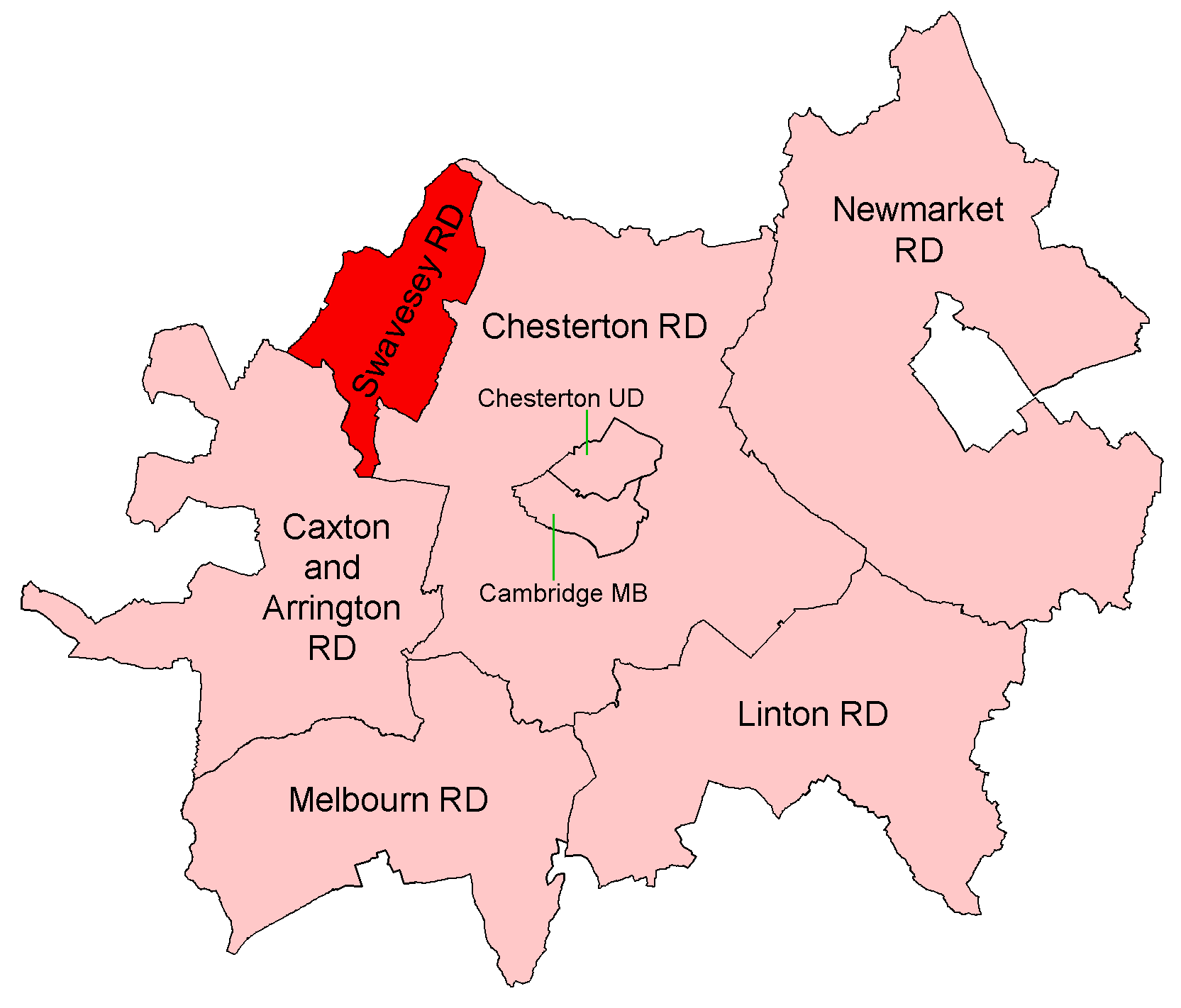
Swavesey Rural District

Swavesey was a rural district in Cambridgeshire, England, from 1894 to 1934. It was formed under the Local Government Act 1894 from the part of the St...

Swavesey Priory

Swavesey Priory was a medieval monastic house in the village of Swavesey, Cambridgeshire, England. A church existed in Swavesey at the time of the Norman...

Nearby Amenities

Located within 500m of 52.290078,-0.00104
Turning Circle
Lat/Long: 52.2922818/-0.0027981
Post Box
Brand: Royal Mail
Brand Wikidata: Q638098
Collection Times: Mo-Fr 09:00; Sa 07:00
Operator: Royal Mail
Operator Wikidata: Q638098
Post Box Type: lamp
Ref: CB24 499D
Royal Cypher: EIIR
Royal Cypher Wikidata: Q33102113
Lat/Long: 52.2886665/-0.0032795
Bus Stop
Rose and Crown Road
Bus: yes
Naptan AtcoCode: 0500SSWAV005
Naptan Bearing: N
Naptan CommonName: Rose and Crown Road
Naptan Indicator: near
Naptan Landmark: Rose and Crown Road
Naptan NaptanCode: cmbgatwg
Naptan ShortCommonName: Rose and Crown Road
Naptan Street: Boxworth End
Naptan Verified: no
Public Transport: platform
Source: naptan_import
Lat/Long: 52.2886972/-0.0032599
Bus Stop
Whitton Close
Bus: yes
Naptan AtcoCode: 0500SSWAV009
Naptan Bearing: N
Naptan CommonName: Whitton Close
Naptan Indicator: near
Naptan Landmark: Whitton Close
Naptan NaptanCode: cmbgatwt
Naptan ShortCommonName: Whitton Close
Naptan Street: Middle Watch
Naptan Verified: no
Public Transport: platform
Source: naptan_import
Lat/Long: 52.2939318/-0.0022766
Bus Stop
Ramper Road
Bus: yes
Naptan AtcoCode: 0500SSWAV012
Naptan Bearing: S
Naptan CommonName: Ramper Road
Naptan Indicator: near
Naptan Landmark: Ramper Road
Naptan NaptanCode: cmbgawaj
Naptan ShortCommonName: Ramper Road
Naptan Street: Middle Watch
Naptan Verified: no
Public Transport: platform
Source: naptan_import
Lat/Long: 52.292073/-0.001891
Bus Stop
Ramper Road
Bus: yes
Naptan AtcoCode: 0500SSWAV014
Naptan Bearing: N
Naptan CommonName: Ramper Road
Naptan Indicator: opp
Naptan Landmark: Ramper Road
Naptan NaptanCode: cmbgawap
Naptan ShortCommonName: Ramper Road
Naptan Street: Middle Watch
Naptan Verified: no
Public Transport: platform
Source: naptan_import
Lat/Long: 52.2923814/-0.002053
Bus Stop
Rose and Crown Road
Bus: yes
Naptan AtcoCode: 0500SSWAV015
Naptan Bearing: S
Naptan CommonName: Rose and Crown Road
Naptan Indicator: opp
Naptan Landmark: Rose and Crown Road
Naptan NaptanCode: cmbgawat
Naptan ShortCommonName: Rose and Crown Road
Naptan Street: Boxworth End
Naptan Verified: no
Public Transport: platform
Source: naptan_import
Lat/Long: 52.2886326/-0.0031602
Bus Stop
Whitton Close
Bus: yes
Naptan AtcoCode: 0500SSWAV018
Naptan Bearing: S
Naptan CommonName: Whitton Close
Naptan Indicator: opp
Naptan Landmark: Whitton Close
Naptan NaptanCode: cmbgawdg
Naptan ShortCommonName: Whitton Close
Naptan Street: Middle Watch
Naptan Verified: no
Public Transport: platform
Source: naptan_import
Lat/Long: 52.2943169/-0.0021859
Addr Housenumber: 116
Addr Street: Middle Watch
Fixme: position
Lat/Long: 52.2922675/-0.0021068
Addr Housenumber: 126
Addr Street: Middle Watch
Fixme: position
Lat/Long: 52.2922554/-0.0026958
Power: pole
Lat/Long: 52.2932845/-0.0009359
Power: pole
Lat/Long: 52.2940303/-0.0008289
Power: pole
Lat/Long: 52.291184/0.0009578
Power: pole
Lat/Long: 52.288289/-0.0007014
Power: pole
Lat/Long: 52.2900264/0.0004213
Power: pole
Lat/Long: 52.2924899/0.0008288
Power: pole
Lat/Long: 52.2878026/-0.0010137
Power: pole
Lat/Long: 52.2870412/-0.001482
Power: pole
Lat/Long: 52.2916909/0.0011909
Power: pole
Lat/Long: 52.2860372/-0.002104
Power: pole
Lat/Long: 52.2856959/-0.0023172
Power: pole
Lat/Long: 52.2928212/-0.0010059
Power: pole
Lat/Long: 52.2921928/0.0014053
Power: pole
Lat/Long: 52.2890642/-0.0001985
Power: pole
Lat/Long: 52.2879139/0.0005955
Power: pole
Lat/Long: 52.2868327/0.0039885
Power: pole
Lat/Long: 52.2873512/0.0023443
Rosegate Farm
Addr Postcode: CB24 4RB
Fhrs Id: 596241
Note Retag: CS #48756035
Opening Hours: Th-Sa 08:30-13:00
Shop: farm
Lat/Long: 52.2893463/-0.0060341
Turning Circle
Lat/Long: 52.2909548/-0.0034136
Bench
Backrest: yes
Lat/Long: 52.2925756/-0.0018659
Location Transition: yes
Power: pole
Lat/Long: 52.291094/-0.0022961
Location Transition: yes
Power: pole
Lat/Long: 52.2912108/-0.0022659
Power: pole
Lat/Long: 52.2914778/-0.0021934
Power: pole
Lat/Long: 52.2917864/-0.0021413
Power: pole
Lat/Long: 52.2906956/-0.0024039
Power: pole
Lat/Long: 52.2900169/-0.0026291
Power: pole
Lat/Long: 52.2903622/-0.0025272
Fixme: continue
Lat/Long: 52.2899066/-0.0026722
Fixme: continue
Lat/Long: 52.2919177/-0.0021274
Entrance: yes
Lat/Long: 52.2933022/-0.0036414
Entrance: yes
Lat/Long: 52.2933321/-0.003379
Entrance: yes
Lat/Long: 52.2932993/-0.0033946
Entrance: yes
Lat/Long: 52.2931891/-0.0034464
Entrance: yes
Lat/Long: 52.2931582/-0.003461
Entrance: yes
Lat/Long: 52.2930214/-0.0038416
Entrance: yes
Lat/Long: 52.2929436/-0.0033813
Entrance: yes
Lat/Long: 52.2929311/-0.0033051
Addr City: Cambridge
Addr Housenumber: 7
Addr Postcode: CB24 4AB
Addr Street: Whitton Court
Addr Village: Swavesey
Entrance: yes
Lat/Long: 52.2929401/-0.0037596
Addr City: Cambridge
Addr Housenumber: 6
Addr Postcode: CB24 4AB
Addr Street: Whitton Court
Addr Village: Swavesey
Entrance: yes
Lat/Long: 52.2929039/-0.0035629
Addr City: Cambridge
Addr Housenumber: 9
Addr Postcode: CB24 4AB
Addr Street: Whitton Court
Addr Village: Swavesey
Entrance: yes
Lat/Long: 52.2929793/-0.0037045
Addr City: Cambridge
Addr Housenumber: 8
Addr Postcode: CB24 4AB
Addr Street: Whitton Court
Addr Village: Swavesey
Entrance: yes
Lat/Long: 52.2929551/-0.0035734
The data included in this document is from www.openstreetmap.org. The data is made available under ODbL.

Have you been to Swavesey?

Leave your review of Swavesey below (or comments, questions and feedback).