Boxworth End

Settlement in Cambridgeshire South Cambridgeshire

England

Boxworth End

Rose & Crown Road, CB4 Between Fen Drayton and Boxworth, looking west.
Rose & Crown Road, CB4 Credit: Philip Talmage

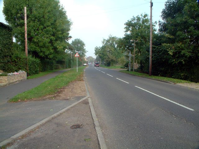
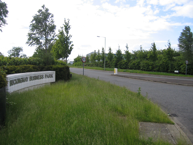
Boxworth End is a small village located in the county of Cambridgeshire, England. Situated approximately 11 miles northwest of Cambridge, it falls within the district of South Cambridgeshire. The village is bordered by the A14 road to the south, providing convenient access to nearby towns and cities.

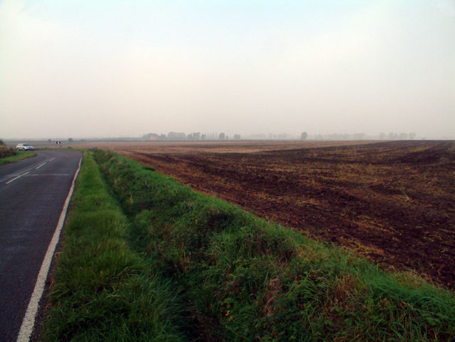
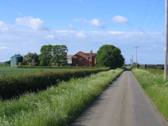
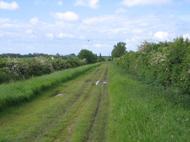
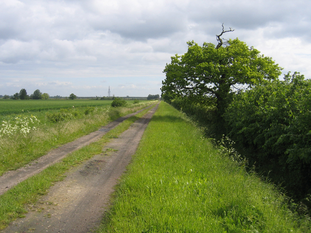
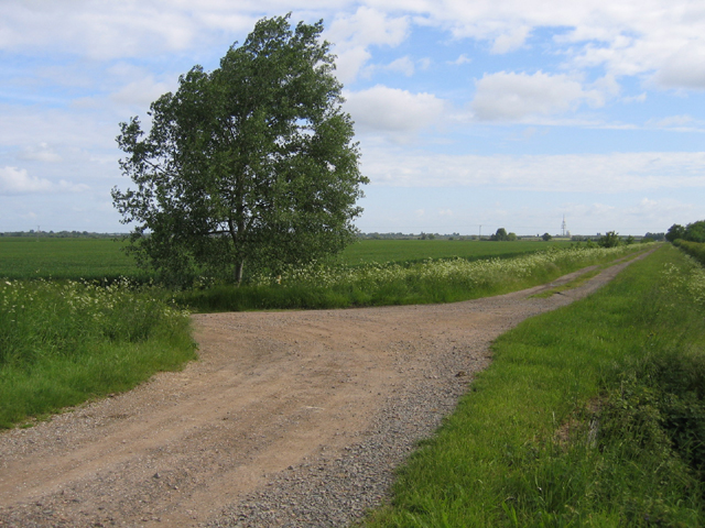
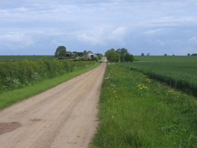
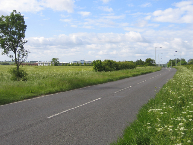
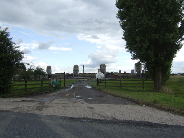
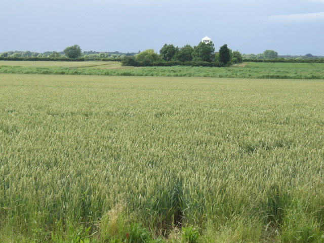
Boxworth End is a rural settlement with a population of around 150 residents. It is surrounded by picturesque countryside, characterized by open fields and farmland. The village is known for its tranquil and peaceful atmosphere, making it an attractive place to live for those seeking a quieter lifestyle.

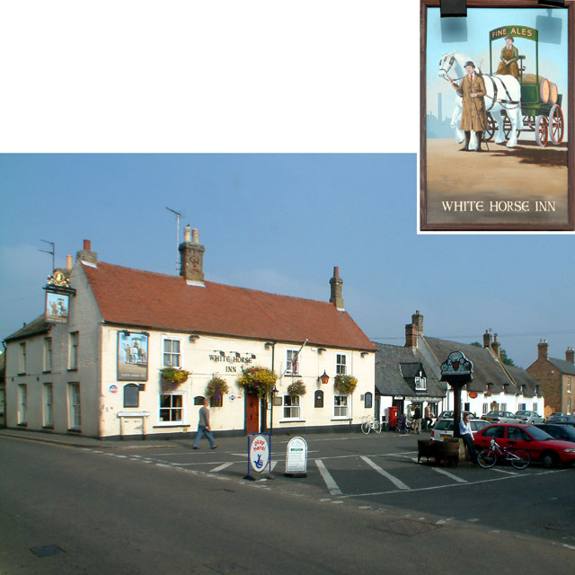
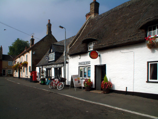
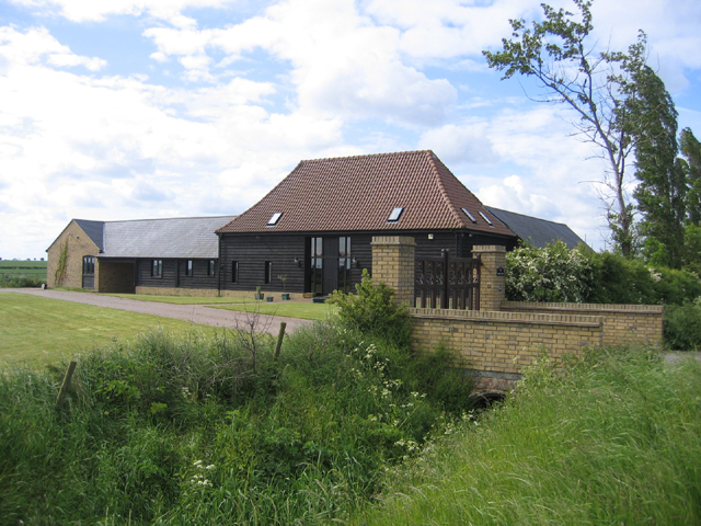
The village itself consists of a small cluster of houses and a few local amenities. These include a village hall, which serves as a social hub for the community, hosting various events and activities throughout the year. There is also a quaint pub, providing a cozy gathering place for locals and visitors alike.

Despite its small size, Boxworth End has a close-knit community, with residents actively participating in village activities and events. The village enjoys a strong sense of community spirit, fostering a friendly and welcoming environment.

For those seeking recreational opportunities, Boxworth End is surrounded by beautiful countryside, offering ample opportunities for walking, cycling, and exploring the great outdoors. The nearby city of Cambridge also provides a range of cultural and leisure activities, including museums, theaters, and shopping centers.

Overall, Boxworth End offers a peaceful and idyllic setting for those seeking a rural lifestyle, while still providing easy access to nearby amenities and attractions.

If you have any feedback on the listing, please let us know in the comments section below.
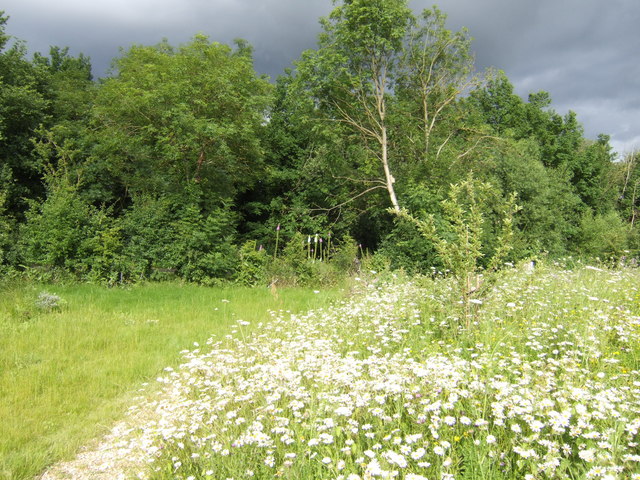
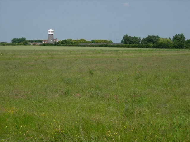
Boxworth End Images

Images are sourced within 2km of 52.284719/-0.006897 or Grid Reference TL3667. Thanks to Geograph Open Source API. All images are credited.

Rose & Crown Road, CB4 Between Fen Drayton and Boxworth, looking west.
Rose & Crown Road, CB4
Between Fen Drayton and Boxworth, looking west.
Middle Watch, Swavesey CB4 Looking north
Middle Watch, Swavesey CB4
Looking north
The White Horse Inn, Swavesey CB4 The White Horse Inn at 1 Market Street dates from the mid-18th century, although it claims a history extending a further 200 years into the past.
The White Horse Inn, Swavesey CB4
The White Horse Inn at 1 Market Street dates from the mid-18th century, although it claims a history extending a further 200 years into the past.
Post Office, Swavesey CB4 Between the Post Office, at 5 Market Street, and the White Horse Inn at number 1, the general store announces; "Confectioner, Tobacconist, Stationer, Newsagent: Library, Pipes, Pouches, Views, Fancy Goods".
Post Office, Swavesey CB4
Between the Post Office, at 5 Market Street, and the White Horse Inn at number 1, the general store announces; "Confectioner, Tobacconist, Stationer, Newsagent: Library, Pipes, Pouches, Views, Fancy Goods".
Swavesey: steadfast in work and play This sign stands at the western end of Market Street.
Swavesey: steadfast in work and play
This sign stands at the western end of Market Street.
Cambridge services Busy services off the busy A14
Cambridge services
Busy services off the busy A14
Highfield Farm, Swavesey, Cambs The original Warner's Farm was established in the enclosed fields on Utton's Drove by 1891.
Highfield Farm, Swavesey, Cambs
The original Warner's Farm was established in the enclosed fields on Utton's Drove by 1891.
Utton's Drove, Swavesey, Cambs – view SW towards the A14.
Utton's Drove, Swavesey, Cambs
– view SW towards the A14.
Utton's Drove, Swavesey, Cambs – view NE along a straight inclosure road dating from about 1840.
Utton's Drove, Swavesey, Cambs
– view NE along a straight inclosure road dating from about 1840.
Trinity Barn, Swavesey, Cambs on Utton's Drove where the original Trinity College Farm was established about 1840.
Trinity Barn, Swavesey, Cambs
on Utton's Drove where the original Trinity College Farm was established about 1840.
Meeting of bridleways, Swavesey, Cambs Tipplers' Road (left) joining Utton's Drove in the NW corner of the square.
Meeting of bridleways, Swavesey, Cambs
Tipplers' Road (left) joining Utton's Drove in the NW corner of the square.
Tipplers' Road, Swavesey, Cambs – view towards Thorpes Farm.
Tipplers' Road, Swavesey, Cambs
– view towards Thorpes Farm.
Bucking Way Road, Swavesey, Cambs – view SSW towards the A14 road.
Bucking Way Road, Swavesey, Cambs
– view SSW towards the A14 road.
Buckingway Business Park, Swavesey, Cambs entrance from Bucking Way Road.
Buckingway Business Park, Swavesey, Cambs
entrance from Bucking Way Road.
Poultry Unit at St John's College Farm By the road between Fen Drayton and Swavesey.
Poultry Unit at St John's College Farm
By the road between Fen Drayton and Swavesey.
Hale Mill - over the fields The sail-less building has been converted into a house.
Hale Mill - over the fields
The sail-less building has been converted into a house.
Constable's Rood This plot of land, known as Constable's Rood, is owned by Swavesey Parish.  It comprises approximately one quarter of an acre (hence rood) and was allocated to the Village Constable to grow vegetables or keep livestock from around 1734 up to 1937. For the past several years it had been an eyesore in this part of the village but has now been transformed into an award winning nature area where you can sit, enjoy the wild flowers, and listen to the bird song and watch the bees and butterflies.
See; <span class="nowrap"><a title="http://www.swavesey.org.uk/general_information/constables_rood/index.html" rel="nofollow ugc noopener" href="http://www.swavesey.org.uk/general_information/constables_rood/index.html">Link</a><img style="margin-left:2px;" alt="External link" title="External link - shift click to open in new window" src="https://s1.geograph.org.uk/img/external.png" width="10" height="10"/></span>
Constable's Rood
This plot of land, known as Constable's Rood, is owned by Swavesey Parish. It comprises approximately one quarter of an acre (hence rood) and was allocated to the Village Constable to grow vegetables or keep livestock from around 1734 up to 1937. For the past several years it had been an eyesore in this part of the village but has now been transformed into an award winning nature area where you can sit, enjoy the wild flowers, and listen to the bird song and watch the bees and butterflies. See; LinkExternal link
Hale Mill From the access road to Fen Drayton Lakes/Gravel Pits.
Hale Mill
From the access road to Fen Drayton Lakes/Gravel Pits.
Show me another place!

Boxworth End is located at Grid Ref: TL3667 (Lat: 52.284719, Lng: -0.006897)

Administrative County: Cambridgeshire

District: South Cambridgeshire

Police Authority: Cambridgeshire

What 3 Words

///liver.innocence.pelt. Near Swavesey, Cambridgeshire

Nearby Locations

Swavesey Boxworth End

Related Wikis

Swavesey Village College

Swavesey Village College is a village college and academy school in the village of Swavesey in south Cambridgeshire, England. In 2011, Swavesey Village...
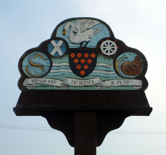
Swavesey

Swavesey is a village lying on the Prime Meridian in Cambridgeshire, England, with a population of 2,463. The village is situated 9 miles to the north...

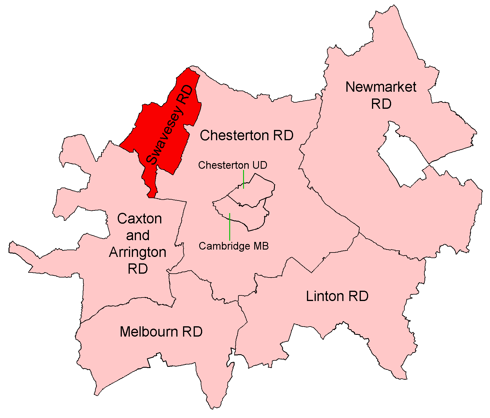
Swavesey Rural District

Swavesey was a rural district in Cambridgeshire, England, from 1894 to 1934. It was formed under the Local Government Act 1894 from the part of the St...

Swavesey Priory

Swavesey Priory was a medieval monastic house in the village of Swavesey, Cambridgeshire, England. A church existed in Swavesey at the time of the Norman...

Nearby Amenities

Located within 500m of 52.284719,-0.006897
Bus Stop
The Farm
Naptan AtcoCode: 0500SSWAV013
Naptan Bearing: N
Naptan BusStopType: CUS
Naptan CommonName: The Farm
Naptan Indicator: opp
Naptan Landmark: The Farm
Naptan NaptanCode: cmbgawam
Naptan Street: Boxworth End
Naptan Verified: no
Source: naptan_import
Lat/Long: 52.2858762/-0.0049997
Bus Stop
The Farm
Naptan AtcoCode: 0500SSWAV016
Naptan Bearing: S
Naptan CommonName: The Farm
Naptan Indicator: near
Naptan Landmark: The Farm
Naptan NaptanCode: cmbgawaw
Naptan Street: Boxworth End
Naptan Verified: no
Source: naptan_import
Lat/Long: 52.2858565/-0.0048979
Power: pole
Lat/Long: 52.2850601/-0.0028295
Power: pole
Lat/Long: 52.2870412/-0.001482
Line Attachment: anchor
Power: pole
Lat/Long: 52.2844414/-0.0033366
Power: pole
Lat/Long: 52.2860372/-0.002104
Power: pole
Lat/Long: 52.2856959/-0.0023172
Line Attachment: (pin)|(anchor)
Power: pole
Lat/Long: 52.2832684/-0.00429
Line Attachment: anchor
Power: pole
Lat/Long: 52.2828343/-0.003142
Line Attachment: (pin)|(anchor)
Power: pole
Lat/Long: 52.2824077/-0.0020114
Line Attachment: anchor
Power: pole
Lat/Long: 52.2835235/-0.0040808
Line Attachment: pin
Power: pole
Lat/Long: 52.2816449/-0.0027625
Line Attachment: pin
Power: pole
Lat/Long: 52.2809786/-0.0034169
Power: pole
Lat/Long: 52.2840091/-0.007038
Power: pole
Lat/Long: 52.2860878/-0.0089465
Power: pole
Lat/Long: 52.2848073/-0.0070582
Line Attachment: anchor
Power: pole
Lat/Long: 52.2836958/-0.0053831
Power: pole
Lat/Long: 52.2854653/-0.0080484
Power: pole
Lat/Long: 52.287905/-0.0117273
Power: pole
Lat/Long: 52.286673/-0.0098717
Power: pole
Lat/Long: 52.2872652/-0.0107767
Buckingway Road ABS
Handle: lever
Location Transition: yes
Power: pole
Switch: mechanical
Lat/Long: 52.2836334/-0.005214
Power: pole
Lat/Long: 52.2869699/-0.0103155
Boxworth End
Frequency: 50
Location: outdoor
Operator: UK Power Networks
Power: substation
Ref: TL 3618 6720
Source: survey
Substation: minor_distribution
Voltage: 11000
Lat/Long: 52.285891/-0.0048508
Colour: red
Marker: yes
Utility: gas
Lat/Long: 52.2835637/-0.0051926
Colour: red
Inscription: GAS
Marker: yes
Utility: gas
Lat/Long: 52.2835235/-0.0052217
Colour: red
Marker: yes
Utility: gas
Lat/Long: 52.2835275/-0.005205
Colour: yellow
Inscription: GAS SIZE 100 PRESSURE IP
Marker: plate
Utility: gas
Lat/Long: 52.283521/-0.0051523
The data included in this document is from www.openstreetmap.org. The data is made available under ODbL.

Have you been to Boxworth End?

Leave your review of Boxworth End below (or comments, questions and feedback).