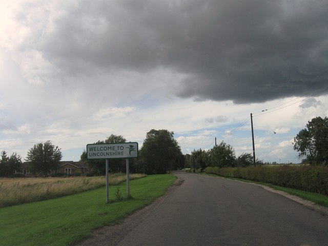
Sutton St James

Civil Parish in Lincolnshire South Holland

England

Sutton St James

Sutton St. James bell tower Largely fifteenth century tower. It was attached to the church of St. James but the nave of that church was demolished in the Commonwealth isolating the tower from the rest of the remaining church <span class="nowrap"><a title="https://historicengland.org.uk/listing/the-list/list-entry/1204853" rel="nofollow ugc noopener" href="https://historicengland.org.uk/listing/the-list/list-entry/1204853">Link</a><img style="margin-left:2px;" alt="External link" title="External link - shift click to open in new window" src="https://s1.geograph.org.uk/img/external.png" width="10" height="10"/></span>
Sutton St. James bell tower Credit: Jonathan Thacker

Sutton St James is a civil parish located in the South Holland district of Lincolnshire, England. It is situated approximately 8 miles east of the market town of Spalding and covers an area of around 2.6 square miles. The parish is primarily rural, characterized by open farmland and small villages.

The population of Sutton St James is estimated to be around 1,800 people, according to the latest census data. The majority of residents are employed in agricultural and horticultural industries, reflecting the area's rural nature.

The parish is served by a primary school, Sutton St James Church of England Primary School, which provides education to local children aged 4-11. There is also a village hall that hosts various community activities and events throughout the year.

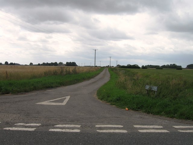
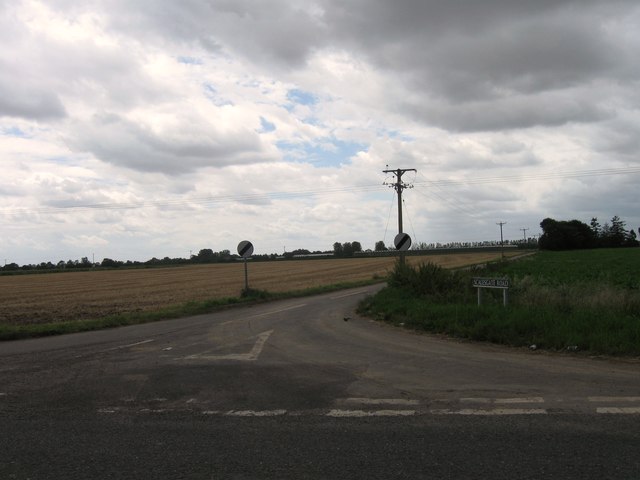
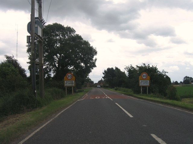
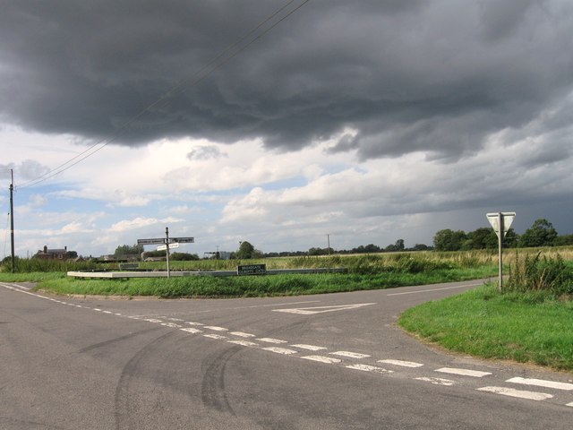
Sutton St James is well-connected to neighboring towns and cities via road networks. The A17 road runs through the parish, providing easy access to Spalding, Boston, and King's Lynn. Public transportation is available, with regular bus services connecting the village to nearby areas.

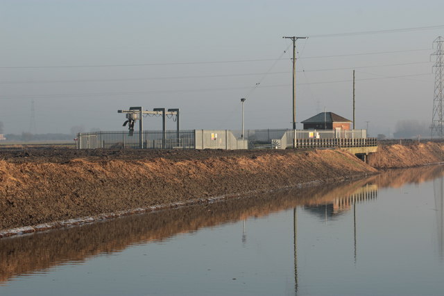
The landscape of Sutton St James is characterized by flat and fertile farmland, with the River Nene bordering the southern edge of the parish. The area offers opportunities for outdoor activities such as walking, cycling, and birdwatching.

Overall, Sutton St James is a peaceful and picturesque civil parish that offers a close-knit community and a rural lifestyle.

If you have any feedback on the listing, please let us know in the comments section below.

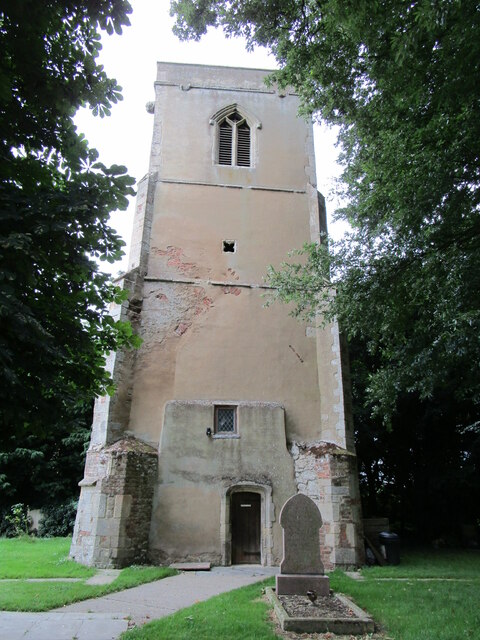
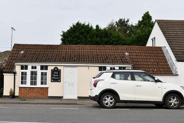
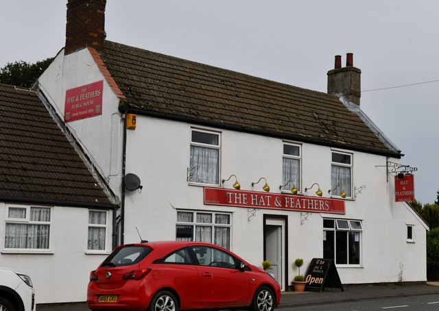
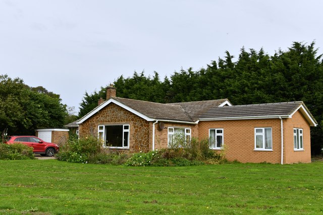
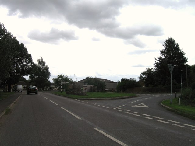
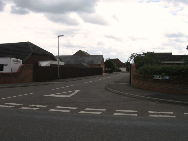
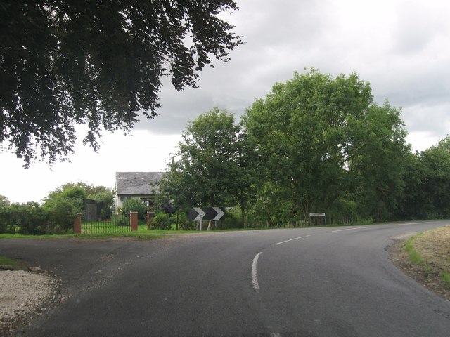
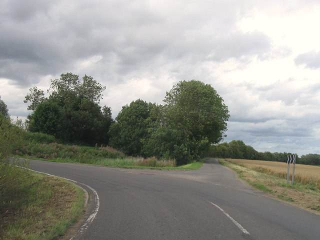
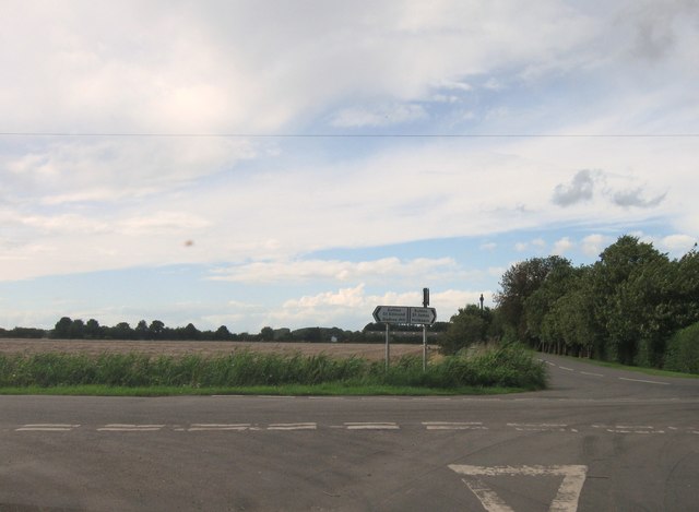
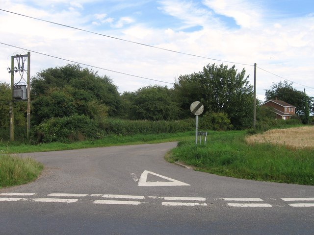
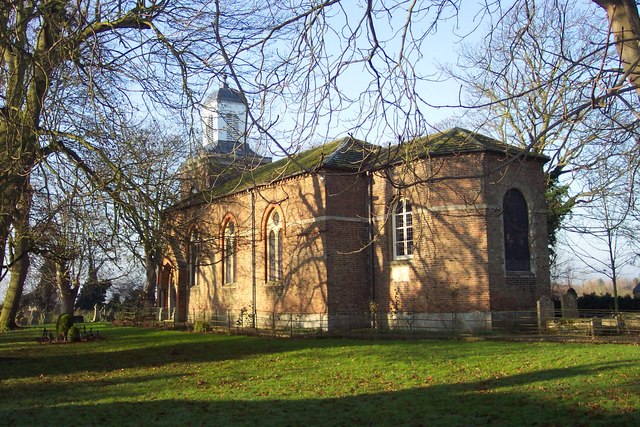
Sutton St James Images

Images are sourced within 2km of 52.738289/0.058164 or Grid Reference TF3917. Thanks to Geograph Open Source API. All images are credited.

Sutton St. James bell tower Largely fifteenth century tower. It was attached to the church of St. James but the nave of that church was demolished in the Commonwealth isolating the tower from the rest of the remaining church <span class="nowrap"><a title="https://historicengland.org.uk/listing/the-list/list-entry/1204853" rel="nofollow ugc noopener" href="https://historicengland.org.uk/listing/the-list/list-entry/1204853">Link</a><img style="margin-left:2px;" alt="External link" title="External link - shift click to open in new window" src="https://s1.geograph.org.uk/img/external.png" width="10" height="10"/></span>
Sutton St. James bell tower
Largely fifteenth century tower. It was attached to the church of St. James but the nave of that church was demolished in the Commonwealth isolating the tower from the rest of the remaining church LinkExternal link
Sutton St James: Old Bank House
Sutton St James: The Hat and Feathers PH
Sutton St James: 28 Fishergate
Junction between Little South Holland Drain and South Holland Main Drain Sluice and pumping station emptying  the Little Holland into the South Holland Main Drain.
Junction between Little South Holland Drain and South Holland Main Drain
Sluice and pumping station emptying the Little Holland into the South Holland Main Drain.
Dog Drove
Dog Drove
Scalesgate Road
Scalesgate Road
Entrance to Sutton St James
St Ives Cross
St Ives Cross
Jubilee Close, Sutton St James
Bythorne Bank
Bythorne Bank
Road junction
Road junction
County Boundary
County Boundary
Road junction and finger post
Road junction
Road junction
Goochgate
Goochgate
Road junction
Road junction
Road junction
Road junction
Show me another place!

Sutton St James is located at Grid Ref: TF3917 (Lat: 52.738289, Lng: 0.058164)

Administrative County: Lincolnshire

District: South Holland

Police Authority: Lincolnshire

What 3 Words

///exporters.parkland.discrepancy. Near Fleet, Lincolnshire

Nearby Locations

Sutton St James

Related Wikis

Grange Farm Arboretum

The Grange Farm Arboretum is a small private arboretum comprising 3 hectares accommodating over 800 trees, mostly native and ornamental species or cultivars...

Sutton St James

Sutton St James is a village and civil parish in the South Holland district of Lincolnshire, England, about four miles (6.4 km) south-west of Long Sutton...

Tydd St Giles

Tydd St Giles is a village in Fenland, Cambridgeshire, England. It is the northernmost village in the Isle of Ely, Cambridgeshire (bordering Lincolnshire...

Holbeach Fen

Holbeach Fen is a fenland settlement and area in the South Holland district of southern Lincolnshire, England. It is 3 miles (5 km) south from Holbeach...

Holbeach St Johns

Holbeach St Johns is a small village in South Holland district of Lincolnshire, England. It is situated approximately 4 miles (6 km) south from the town...

Gedney Broadgate

Gedney Broadgate is a hamlet in the civil parish of Gedney and the South Holland district of Lincolnshire, England. It is situated west from the A17 road...

Sutton St Edmund

Sutton St Edmunds is a village and civil parish in the South Holland district of Lincolnshire, England, about 14 miles (23 km) south-east from the town...

Tydd St Mary

Tydd St Mary is a village and civil parish in the South Holland district of Lincolnshire, England, about 9 miles (14 km) east of the town of Spalding and...

Nearby Amenities

Located within 500m of 52.738289,0.058164
Manor Farm
Place: farm
Source: Bing
Lat/Long: 52.7405693/0.0526413
Chestnut House
Place: isolated_dwelling
Source: Bing
Lat/Long: 52.7400574/0.0543085
Lynn House
Place: isolated_dwelling
Source: Bing
Lat/Long: 52.738536/0.0590974
Magpie Farm
Place: farm
Source: Bing
Lat/Long: 52.7350135/0.0566167
Power: pole
Lat/Long: 52.7377055/0.0519416
Power: pole
Lat/Long: 52.7384364/0.0515843
Power: pole
Lat/Long: 52.7386127/0.053745
Power: pole
Lat/Long: 52.7389295/0.0558129
Power: pole
Lat/Long: 52.7389406/0.0623345
Power: pole
Lat/Long: 52.7390211/0.0635011
Power: pole
Lat/Long: 52.7390295/0.0609409
Power: pole
Lat/Long: 52.7390953/0.0570073
Power: pole
Lat/Long: 52.7390961/0.0596872
Power: pole
Lat/Long: 52.7390975/0.0646837
Power: pole
Lat/Long: 52.7391755/0.0583433
Power: pole
Lat/Long: 52.7393218/0.0512291
Power: pole
Lat/Long: 52.7394444/0.0511795
Generator Method: photovoltaic
Generator Output Electricity: yes
Generator Source: solar
Generator Type: solar_photovoltaic_panel
Location: roof
Power: generator
Lat/Long: 52.7418996/0.054528
Generator Method: photovoltaic
Generator Output Electricity: yes
Generator Source: solar
Generator Type: solar_photovoltaic_panel
Location: roof
Power: generator
Lat/Long: 52.7409821/0.0530823
Power: pole
Lat/Long: 52.7377411/0.0519034
The data included in this document is from www.openstreetmap.org. The data is made available under ODbL.

Have you been to Sutton St James?

Leave your review of Sutton St James below (or comments, questions and feedback).