Sturminster Marshall

Civil Parish in Dorset East Dorset

England

Sturminster Marshall

Crawford Corner, Spetisbury
Crawford Corner, Spetisbury Credit: Roger Cornfoot

Sturminster Marshall is a civil parish located in the county of Dorset, England. Situated approximately 5 miles northwest of the town of Wimborne Minster, it lies on the banks of the River Stour. The parish covers an area of about 11 square miles and is home to a population of around 2,500 residents.

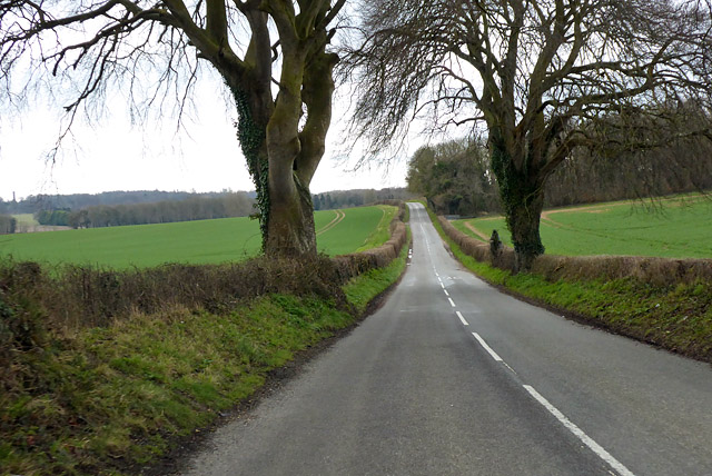
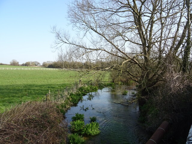
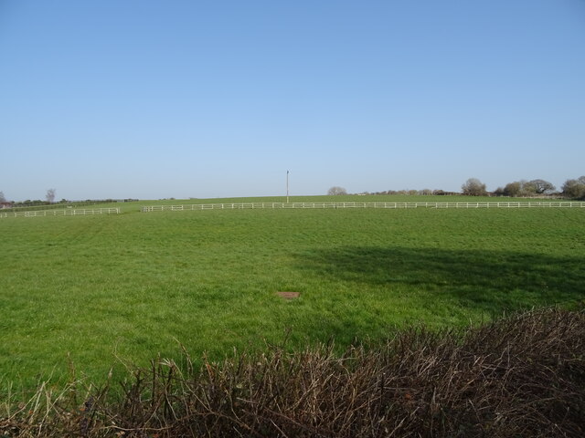
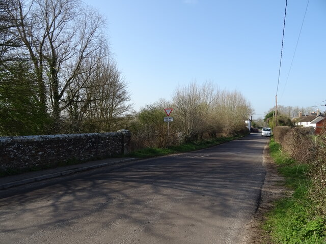
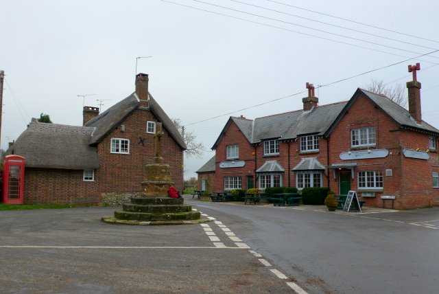
The village of Sturminster Marshall is known for its picturesque surroundings and charming rural atmosphere. It is surrounded by beautiful countryside, with rolling hills, meadows, and woodlands, providing ample opportunities for outdoor activities such as hiking, cycling, and fishing.

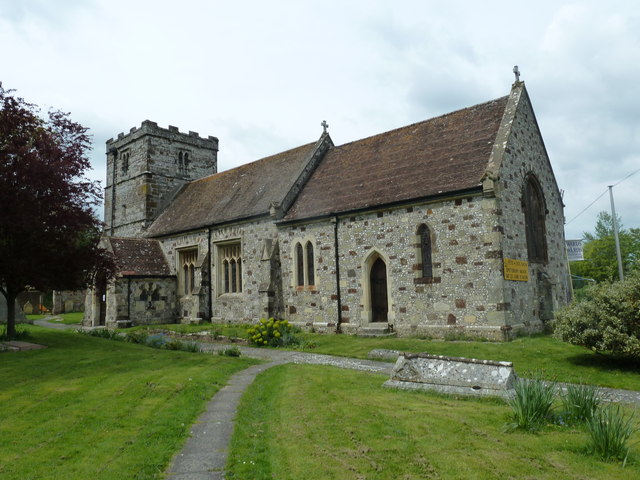
The village itself has a rich history, dating back to the Saxon era. It is mentioned in the Domesday Book of 1086 and has several historic landmarks, including the 14th-century St. Mary's Church, which is known for its impressive architecture and stained glass windows.

Sturminster Marshall offers a range of amenities for its residents and visitors. There are a few local shops, a post office, a primary school, and a village hall that hosts various community events and activities. The village also has a cricket club and a football club, providing recreational opportunities for sports enthusiasts.

The surrounding area is dotted with charming pubs, restaurants, and tea rooms, where visitors can enjoy traditional British cuisine and relax with a pint of local ale. Additionally, the nearby market towns of Wimborne Minster and Blandford Forum offer a wider range of amenities and attractions.

Overall, Sturminster Marshall is a peaceful and picturesque village in Dorset, offering a quintessentially English countryside experience.

If you have any feedback on the listing, please let us know in the comments section below.

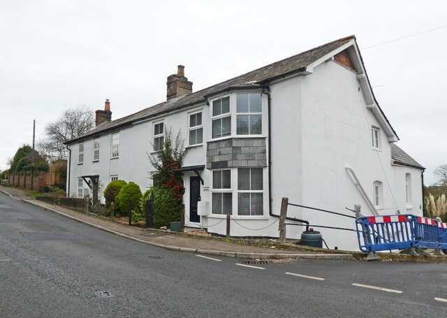
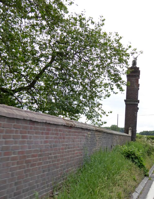
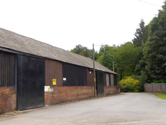
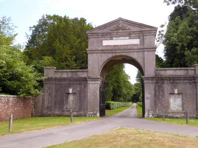
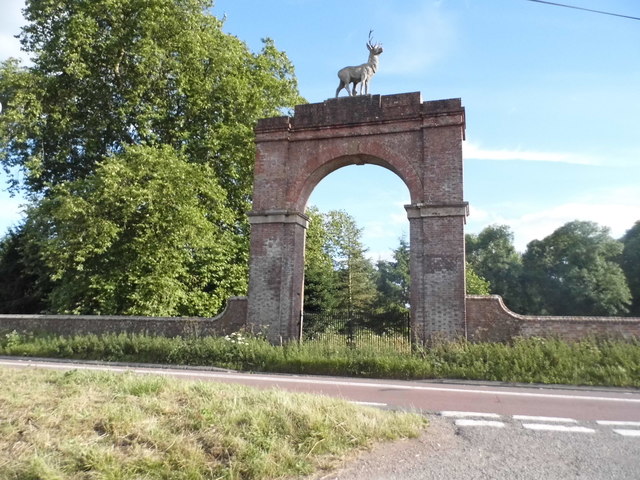
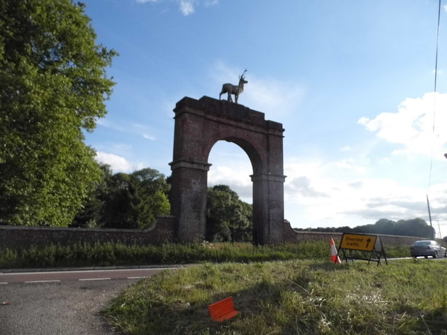
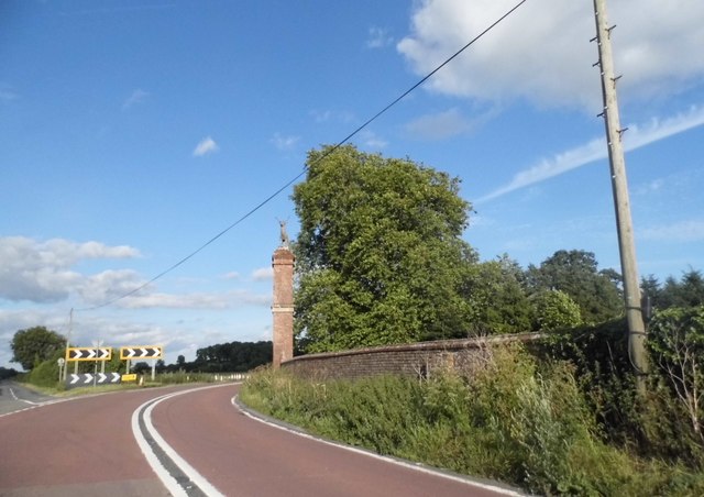
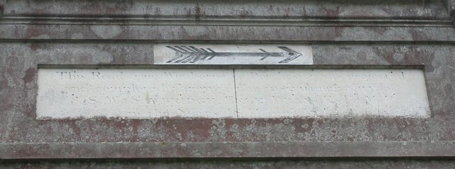
Sturminster Marshall Images

Images are sourced within 2km of 50.802678/-2.104656 or Grid Reference ST9200. Thanks to Geograph Open Source API. All images are credited.

Crawford Corner, Spetisbury
Drax wall and Stag Gate, Charborough Park Part of the long wall around the deer park, and a rear view of the stag on the top of the gateway
Drax wall and Stag Gate, Charborough Park
Part of the long wall around the deer park, and a rear view of the stag on the top of the gateway
Farm buildings at East Almer Farm
Main entrance to Charborough Park at Almer
Stag Gate, Charborough Park Here is the Charborough Park website summary <span class="nowrap"><a title="http://www.waymarking.com/waymarks/WM9XB5_The_Stag_on_The_Stag_Gate_Charborough_Park_Dorset_UK" rel="nofollow ugc noopener" href="http://www.waymarking.com/waymarks/WM9XB5_The_Stag_on_The_Stag_Gate_Charborough_Park_Dorset_UK">Link</a><img style="margin-left:2px;" alt="External link" title="External link - shift click to open in new window" src="https://s1.geograph.org.uk/img/external.png" width="10" height="10"/></span>
Stag Gate, Charborough Park
Here is the Charborough Park website summary LinkExternal link
Stag Gate, Charborough Park
The A31 at Stag Gate
Old Other Stone on East Almer Lodge, Charborough Park, Sturminster Marshall Commemorative Marker by the A31, in parish of Sturminster Marshall (East Dorset District), Charborough Park, East Almer Lodge, set back from road.

Inscription reads:-
This Road from Wimborne to Dorchester was projected
and completed through the instrumentality of
J S W SAWBRIDGE ERLE DRAX Esq MP
in the Years 1811 and 1812. 

The lodge is Grade II listed.
List Entry Number: 1249743 <span class="nowrap"><a title="https://historicengland.org.uk/listing/the-list/list-entry/1249743" rel="nofollow ugc noopener" href="https://historicengland.org.uk/listing/the-list/list-entry/1249743">Link</a><img style="margin-left:2px;" alt="External link" title="External link - shift click to open in new window" src="https://s1.geograph.org.uk/img/external.png" width="10" height="10"/></span>

Surveyed

Milestone Society National ID: DO_DOWB16cm
Old Other Stone on East Almer Lodge, Charborough Park, Sturminster Marshall
Commemorative Marker by the A31, in parish of Sturminster Marshall (East Dorset District), Charborough Park, East Almer Lodge, set back from road. Inscription reads:- This Road from Wimborne to Dorchester was projected and completed through the instrumentality of J S W SAWBRIDGE ERLE DRAX Esq MP in the Years 1811 and 1812. The lodge is Grade II listed. List Entry Number: 1249743 LinkExternal link Surveyed Milestone Society National ID: DO_DOWB16cm
Stag Gate, Charborough Park
B3075, Spetisbury An inauspicious start with a narrow sunken lane profile up the hill, but it soon opens out to be a reasonable B road. In the foreground is what remains of a railway bridge over the road. This carried the Somerset and Dorset line that closed in the 1960s.
B3075, Spetisbury
An inauspicious start with a narrow sunken lane profile up the hill, but it soon opens out to be a reasonable B road. In the foreground is what remains of a railway bridge over the road. This carried the Somerset and Dorset line that closed in the 1960s.
B3075 heading south
B3075 heading south
Mill Lane Heading towards Shapwick.
Mill Lane
Heading towards Shapwick.
Thatched cottages, Shapwick On West Street.
Thatched cottages, Shapwick
On West Street.
Lane from Shapwick towards Blandford Forum
Old Direction Sign - Signpost by High Street, Shapwick Annulus and bar finial - 4 arms; Dorset halo with NGR by the UC road, in parish of Shapwick (North Dorset District), Shapwick, High Street junction with Stewards Lane, on verge opposite Anchor PH.

Surveyed

Milestone Society National ID: DO_ST9301
Old Direction Sign - Signpost by High Street, Shapwick
Annulus and bar finial - 4 arms; Dorset halo with NGR by the UC road, in parish of Shapwick (North Dorset District), Shapwick, High Street junction with Stewards Lane, on verge opposite Anchor PH. Surveyed Milestone Society National ID: DO_ST9301
The River Winterborne
Grazing, Newton Peveril
Bridge on Newton Road
Show me another place!

Sturminster Marshall is located at Grid Ref: ST9200 (Lat: 50.802678, Lng: -2.104656)

Administrative County: Dorset

District: East Dorset

Police Authority: Dorset

What 3 Words

///bedspread.dribble.qualify. Near Sturminster Marshall, Dorset

Related Wikis

River Winterborne

There are two River Winterbornes in Dorset, England.The rivers only flow overground during the winter, hence the name. They both flow through a number...

Church of St Mary, Almer, Dorset

Church of Mary is a Grade I listed church in Almer, Dorset, England. It became a listed building on 18 March 1955. According to Arthur Mee's The King...

Shapwick, Dorset

Shapwick is a village and civil parish in east Dorset, England, situated on the River Stour five miles south-east of Blandford Forum and eight miles north...

Sturminster Marshall

Sturminster Marshall is a village and civil parish in the east of Dorset in England, situated on the River Stour between Blandford Forum and Poole. The...

Spetisbury railway station

Spetisbury railway station was a station in the English county of Dorset. It was located between Blandford Forum and Bailey Gate on the Somerset and Dorset...

Bailey Gate railway station

Bailey Gate railway station was on the Somerset & Dorset Joint Railway in the English county of Dorset. == Usage == The station served the United Dairies...

Charborough House

Charborough House, also known as Charborough Park, is a Grade I listed building, the manor house of the ancient manor of Charborough. The house is between...

Spetisbury

Spetisbury () is a village and civil parish in north Dorset, England, situated on the River Stour and the A350, four miles (six kilometres) southeast of...

Nearby Amenities

Located within 500m of 50.802678,-2.104656
Material: wood
Power: pole
Source: bing
Lat/Long: 50.8015885/-2.0981505
Material: wood
Power: pole
Source: bing
Lat/Long: 50.8023903/-2.1022685
Material: wood
Power: pole
Source: bing
Lat/Long: 50.8030366/-2.0990572
Material: wood
Power: pole
Source: bing
Lat/Long: 50.8031624/-2.1017289
Material: wood
Power: pole
Source: bing
Lat/Long: 50.8039308/-2.1011808
Material: wood
Power: pole
Source: bing
Lat/Long: 50.804556/-2.1000242
Material: wood
Power: pole
Source: bing
Lat/Long: 50.804723/-2.100612
Material: wood
Power: pole
Source: bing
Lat/Long: 50.8047508/-2.1005261
Material: wood
Power: pole
Source: bing
Lat/Long: 50.8052997/-2.1002061
Material: wood
Power: pole
Source: bing
Lat/Long: 50.8056001/-2.1027761
Material: wood
Power: pole
Source: bing
Lat/Long: 50.8058875/-2.0997811
Material: wood
Power: pole
Source: bing
Lat/Long: 50.8063082/-2.1047004
Material: wood
Power: pole
Source: bing
Lat/Long: 50.8069336/-2.1063764
The data included in this document is from www.openstreetmap.org. The data is made available under ODbL.

Have you been to Sturminster Marshall?

Leave your review of Sturminster Marshall below (or comments, questions and feedback).