Westley Wood

Wood, Forest in Dorset

England

Westley Wood

Crawford Corner, Spetisbury
Crawford Corner, Spetisbury Credit: Roger Cornfoot

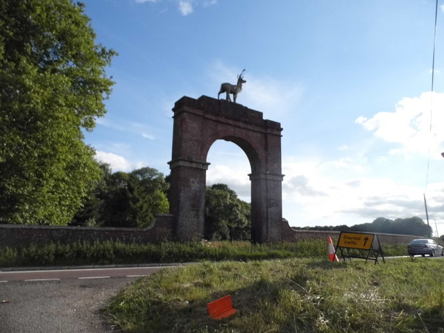
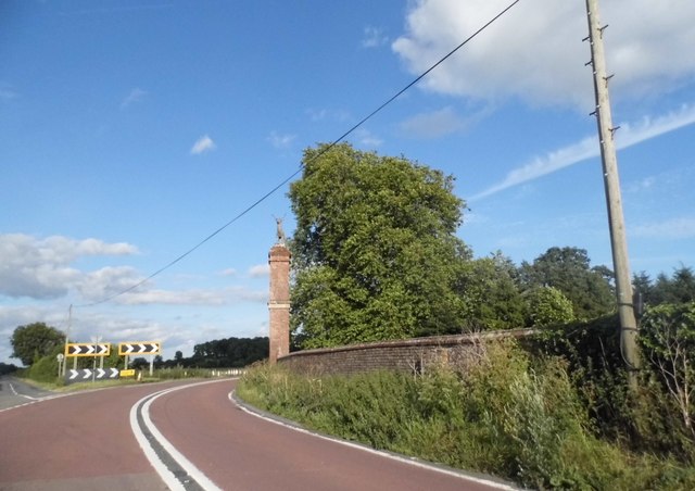
Westley Wood is a picturesque forest located in the county of Dorset, England. Spread over an area of approximately 100 hectares, it is a popular destination for nature lovers and outdoor enthusiasts. The wood is situated near the village of Westley and is easily accessible by road.

Westley Wood is known for its diverse range of flora and fauna, making it an ideal spot for wildlife enthusiasts. The forest is home to a variety of tree species, including oak, beech, and birch trees, which create a dense and enchanting canopy. The undergrowth is adorned with vibrant wildflowers, adding to the beauty of the woodland.

The wood offers several well-maintained walking trails, giving visitors the opportunity to explore its natural wonders. These trails cater to different levels of difficulty, making it suitable for both casual strollers and avid hikers. Along the way, visitors may spot various bird species, such as woodpeckers and owls, as well as small mammals like squirrels and rabbits.

In addition to its natural beauty, Westley Wood also holds historical significance. The forest is believed to have been in existence for centuries and has witnessed the passage of time. It provides a peaceful retreat for those seeking tranquility away from the hustle and bustle of modern life.

Overall, Westley Wood in Dorset is a gem for nature lovers, offering a serene and picturesque environment to explore and unwind. Whether it's a leisurely walk or an immersive wildlife experience, this forest has something to offer everyone.

If you have any feedback on the listing, please let us know in the comments section below.
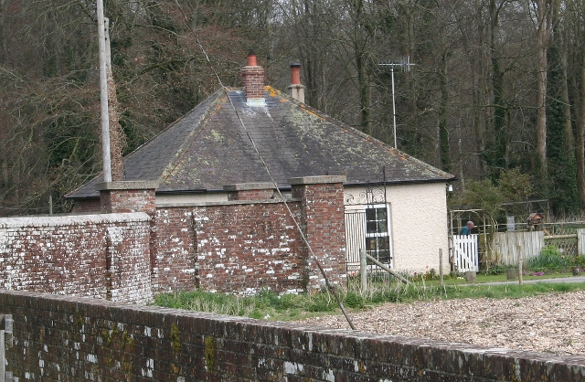
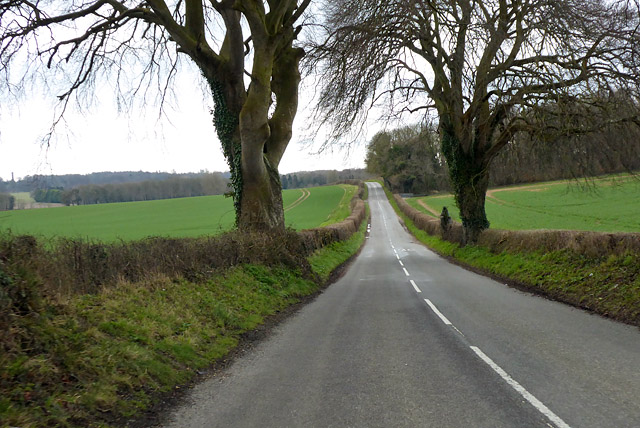
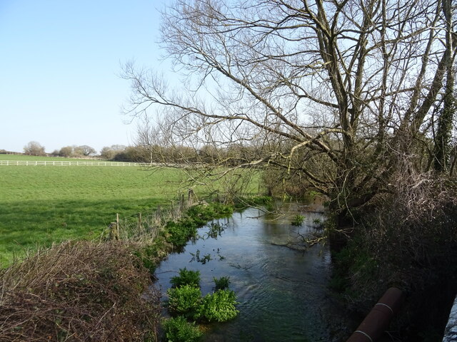
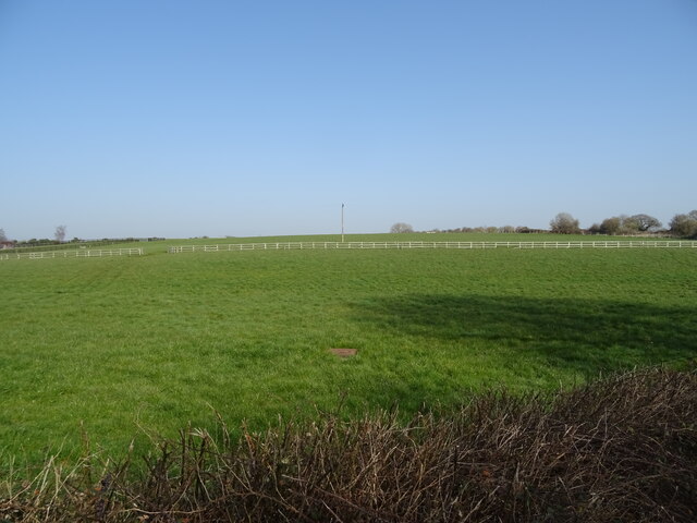
Westley Wood Images

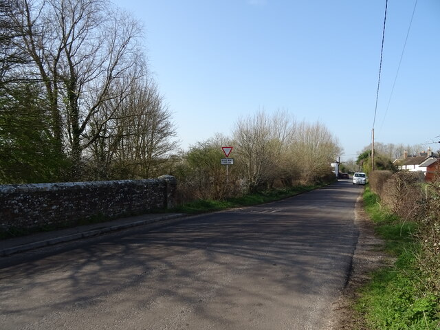
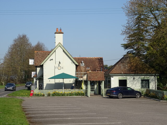
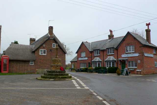
Images are sourced within 2km of 50.802003/-2.1064192 or Grid Reference ST9200. Thanks to Geograph Open Source API. All images are credited.

Crawford Corner, Spetisbury
St Mary's Church, Almer
Benchmark on St Mary's Church, Almer Ordnance Survey benchmark, described on database at <span class="nowrap"><a title="http://www.bench-marks.org.uk/bm53454" rel="nofollow ugc noopener" href="http://www.bench-marks.org.uk/bm53454">Link</a><img style="margin-left:2px;" alt="External link" title="External link - shift click to open in new window" src="https://s1.geograph.org.uk/img/external.png" width="10" height="10"/></span>. See also <a href="https://www.geograph.org.uk/photo/5129860">SY9198 : St Mary's Church, Almer</a>.
Benchmark on St Mary's Church, Almer
Ordnance Survey benchmark, described on database at LinkExternal link. See also SY9198 : St Mary's Church, Almer.
Stag Gate, Charborough Park Here is the Charborough Park website summary <span class="nowrap"><a title="http://www.waymarking.com/waymarks/WM9XB5_The_Stag_on_The_Stag_Gate_Charborough_Park_Dorset_UK" rel="nofollow ugc noopener" href="http://www.waymarking.com/waymarks/WM9XB5_The_Stag_on_The_Stag_Gate_Charborough_Park_Dorset_UK">Link</a><img style="margin-left:2px;" alt="External link" title="External link - shift click to open in new window" src="https://s1.geograph.org.uk/img/external.png" width="10" height="10"/></span>
Stag Gate, Charborough Park
Here is the Charborough Park website summary LinkExternal link
Stag Gate, Charborough Park
Gatehouse at The Kennels, Almer
The A31 at Stag Gate
Old Other Stone on East Almer Lodge, Charborough Park, Sturminster Marshall Commemorative Marker by the A31, in parish of Sturminster Marshall (East Dorset District), Charborough Park, East Almer Lodge, set back from road.

Inscription reads:-
This Road from Wimborne to Dorchester was projected
and completed through the instrumentality of
J S W SAWBRIDGE ERLE DRAX Esq MP
in the Years 1811 and 1812. 

The lodge is Grade II listed.
List Entry Number: 1249743 <span class="nowrap"><a title="https://historicengland.org.uk/listing/the-list/list-entry/1249743" rel="nofollow ugc noopener" href="https://historicengland.org.uk/listing/the-list/list-entry/1249743">Link</a><img style="margin-left:2px;" alt="External link" title="External link - shift click to open in new window" src="https://s1.geograph.org.uk/img/external.png" width="10" height="10"/></span>

Surveyed

Milestone Society National ID: DO_DOWB16cm
Old Other Stone on East Almer Lodge, Charborough Park, Sturminster Marshall
Commemorative Marker by the A31, in parish of Sturminster Marshall (East Dorset District), Charborough Park, East Almer Lodge, set back from road. Inscription reads:- This Road from Wimborne to Dorchester was projected and completed through the instrumentality of J S W SAWBRIDGE ERLE DRAX Esq MP in the Years 1811 and 1812. The lodge is Grade II listed. List Entry Number: 1249743 LinkExternal link Surveyed Milestone Society National ID: DO_DOWB16cm
East Almer Toll House Toll House by the A31, in the parish of Morden (Purbeck District), East Almer Lodge, World's End, DT11.

Surveyed

Milestone Society National ID: DO.MOR
East Almer Toll House
Toll House by the A31, in the parish of Morden (Purbeck District), East Almer Lodge, World's End, DT11. Surveyed Milestone Society National ID: DO.MOR
Stag Gate, Charborough Park
B3075, Spetisbury An inauspicious start with a narrow sunken lane profile up the hill, but it soon opens out to be a reasonable B road. In the foreground is what remains of a railway bridge over the road. This carried the Somerset and Dorset line that closed in the 1960s.
B3075, Spetisbury
An inauspicious start with a narrow sunken lane profile up the hill, but it soon opens out to be a reasonable B road. In the foreground is what remains of a railway bridge over the road. This carried the Somerset and Dorset line that closed in the 1960s.
B3075 heading south
B3075 heading south
Thatched cottages, Shapwick On West Street.
Thatched cottages, Shapwick
On West Street.
Old Direction Sign - Signpost by High Street, Shapwick Annulus and bar finial - 4 arms; Dorset halo with NGR by the UC road, in parish of Shapwick (North Dorset District), Shapwick, High Street junction with Stewards Lane, on verge opposite Anchor PH.

Surveyed

Milestone Society National ID: DO_ST9301
Old Direction Sign - Signpost by High Street, Shapwick
Annulus and bar finial - 4 arms; Dorset halo with NGR by the UC road, in parish of Shapwick (North Dorset District), Shapwick, High Street junction with Stewards Lane, on verge opposite Anchor PH. Surveyed Milestone Society National ID: DO_ST9301
The River Winterborne
Grazing, Newton Peveril
Bridge on Newton Road
The Golden Fox
The Golden Fox
Show me another place!

Westley Wood is located at Grid Ref: ST9200 (Lat: 50.802003, Lng: -2.1064192)

Unitary Authority: Dorset

Police Authority: Dorset

What 3 Words

///plants.preheated.mistaking. Near Sturminster Marshall, Dorset

Related Wikis

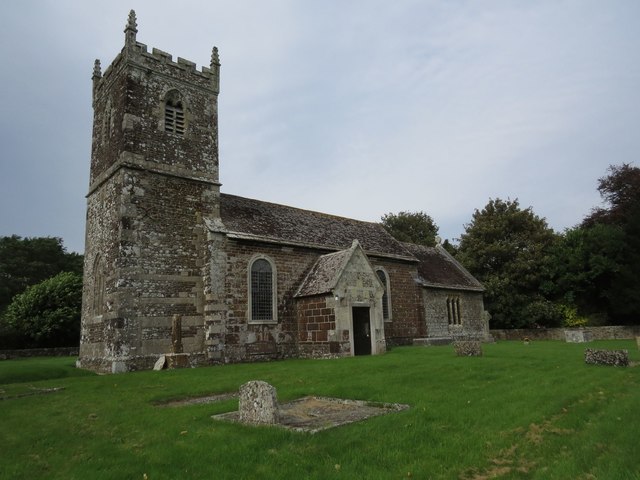
Church of St Mary, Almer, Dorset

Church of Mary is a Grade I listed church in Almer, Dorset, England. It became a listed building on 18 March 1955. According to Arthur Mee's The King...

River Winterborne

There are two River Winterbornes in Dorset, England. The rivers only flow overground during the winter, hence the name. They both flow through a number...

Shapwick, Dorset

Shapwick is a village and civil parish in east Dorset, England, situated on the River Stour five miles south-east of Blandford Forum and eight miles north...

Spetisbury railway station

Spetisbury railway station was a station in the English county of Dorset. It was located between Blandford Forum and Bailey Gate on the Somerset and Dorset...

Related Videos

Spetisbury Walks

A walk with nature in Spetisbury, Dorset.

Lockdown Walk To The River

Another little outing today with the whole family. This time out to our old village in Spetisbury, Dorset. Only about 20 minutes where ...

White Mill Bridge Dorset #shorts

White Mill Bridge Dorset UK.

Nearby Amenities

Located within 500m of 50.802003,-2.1064192
Material: wood
Power: pole
Source: bing
Lat/Long: 50.8023903/-2.1022685
Material: wood
Power: pole
Source: bing
Lat/Long: 50.8031624/-2.1017289
Material: wood
Power: pole
Source: bing
Lat/Long: 50.8039308/-2.1011808
Material: wood
Power: pole
Source: bing
Lat/Long: 50.8056001/-2.1027761
Material: wood
Power: pole
Source: bing
Lat/Long: 50.8063082/-2.1047004
The data included in this document is from www.openstreetmap.org. The data is made available under ODbL.

Have you been to Westley Wood?

Leave your review of Westley Wood below (or comments, questions and feedback).