Stone
Civil Parish in Staffordshire Stafford
England
Stone

Stone is a civil parish located in the county of Staffordshire, England. Situated on the banks of the River Trent, it is part of the borough of Stafford. Stone is known for its historical significance, as it was an important market town during the medieval era.
The town of Stone has a population of approximately 17,000 residents. It is well-connected to other parts of the country, with easy access to major cities like Stoke-on-Trent, Stafford, and Birmingham. The town has a rich industrial heritage, with a history of quarrying and brickmaking. The local economy is diverse, with a mix of industries including manufacturing, retail, and services.
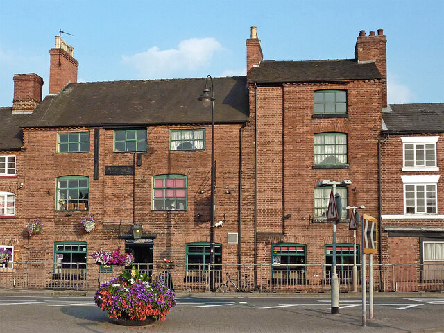
Stone is home to several notable landmarks and attractions. The town's High Street is lined with historic buildings, many of which date back to the 18th and 19th centuries. The Trent and Mersey Canal, which runs through Stone, offers picturesque views and opportunities for boating and fishing. The nearby Wedgwood Estate, famous for its pottery, is a popular tourist destination.
Residents and visitors can enjoy a variety of recreational activities in Stone. The town has several parks and green spaces, including the popular Stonefield Park, which hosts various events and festivals throughout the year. There are also numerous pubs, restaurants, and shops, providing ample opportunities for dining and shopping.
Overall, Stone is a charming and vibrant town, offering a mix of historical significance, natural beauty, and modern amenities. Whether exploring its rich heritage, enjoying outdoor activities, or simply immersing oneself in the local culture, Stone has something for everyone.
If you have any feedback on the listing, please let us know in the comments section below.
Stone Images
Images are sourced within 2km of 52.899349/-2.142415 or Grid Reference SJ9033. Thanks to Geograph Open Source API. All images are credited.


Stone is located at Grid Ref: SJ9033 (Lat: 52.899349, Lng: -2.142415)
Administrative County: Staffordshire
District: Stafford
Police Authority: Staffordshire
What 3 Words
///regulates.cycles.pixies. Near Stone, Staffordshire
Related Wikis

Stone Priory
Stone Priory was a priory founded at Stone in Staffordshire, England, in about 670 AD. The priory's church was dedicated to Saint Mary and Saint Wulfad...

Lichfield Road, Stone
Lichfield Road is a cricket ground in Stone, Staffordshire. The ground was established in 1948, when Staffordshire played Buckinghamshire in the grounds...
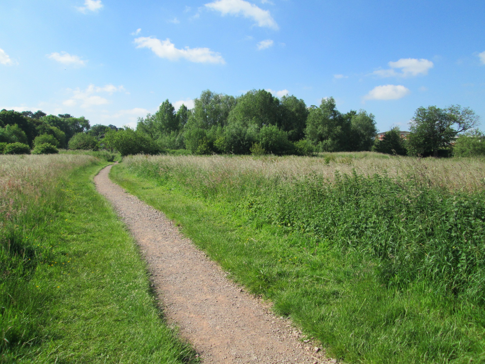
Stone Meadows
Stone Meadows is a local nature reserve adjacent to Stone, in Staffordshire, England. There are three separate meadows by the River Trent. Goodall Meadow...

Stone, Staffordshire
Stone is a market town and civil parish in Staffordshire, England, situated approximately 7 miles (11 km) north of the county town of Stafford, 7 miles...
St Dominic's Priory School, Stone
St Dominic's Priory School is an independent Catholic day school in the town of Stone, Staffordshire, halfway between Stoke-on-Trent and Stafford. The...
Alleyne's Academy
Alleyne's Academy (formerly Alleyne's High School) is a coeducational secondary school and sixth form with academy status. It is located in Stone, Staffordshire...

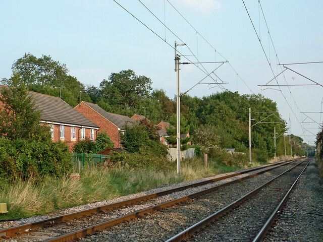
Stone railway station
Stone railway station serves the market town of Stone, Staffordshire, England. The station is located on a junction of the Colwich to Manchester spur of...

Aston-by-Stone railway station
Aston-by-Stone railway station is a disused railway station in the village of Aston, Staffordshire, England. == History == Opened by the North Staffordshire...
Nearby Amenities
Located within 500m of 52.899349,-2.142415Have you been to Stone?
Leave your review of Stone below (or comments, questions and feedback).