Stoke Bardolph
Civil Parish in Nottinghamshire Gedling
England
Stoke Bardolph
Stoke Bardolph is a civil parish located in the county of Nottinghamshire, England. Situated on the banks of the River Trent, it is approximately 5 miles northeast of the city of Nottingham. The parish covers an area of around 3 square miles and has a population of around 300 residents.
Historically, Stoke Bardolph was known for its agricultural economy, with farming and livestock rearing being the primary occupations of the local population. However, in recent years, the area has seen a shift towards a more residential focus, with many of its residents commuting to nearby towns and cities for work.
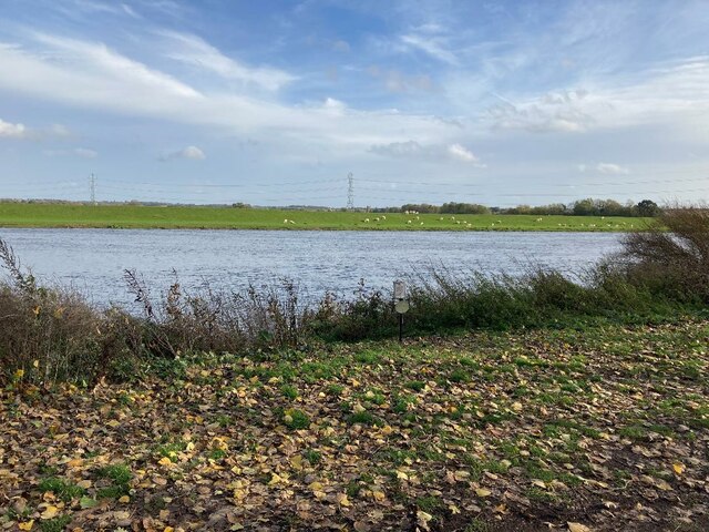
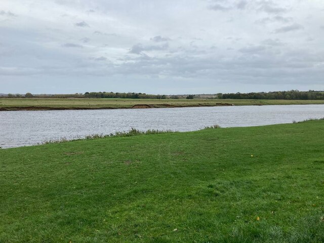
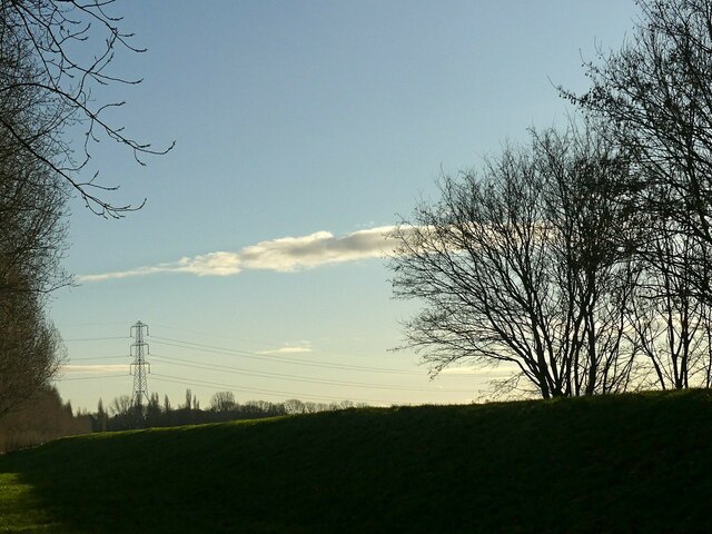
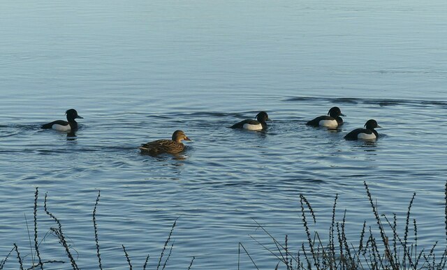
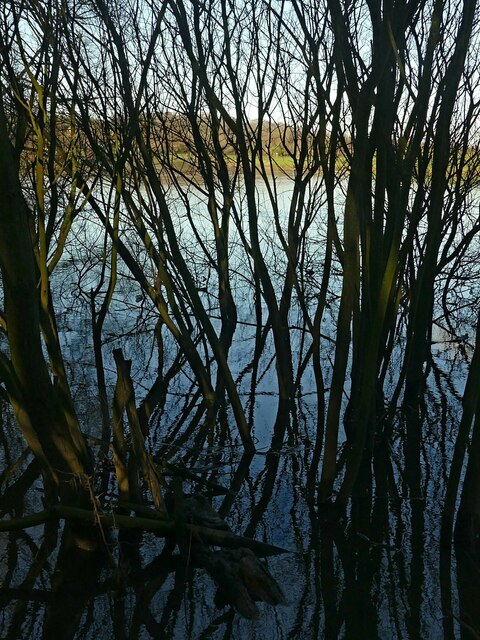
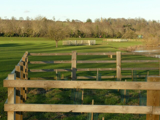
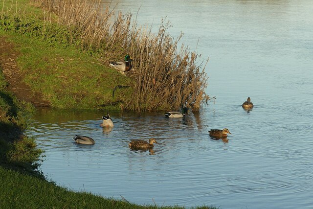
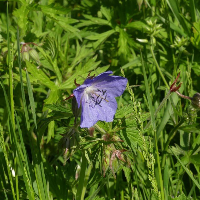
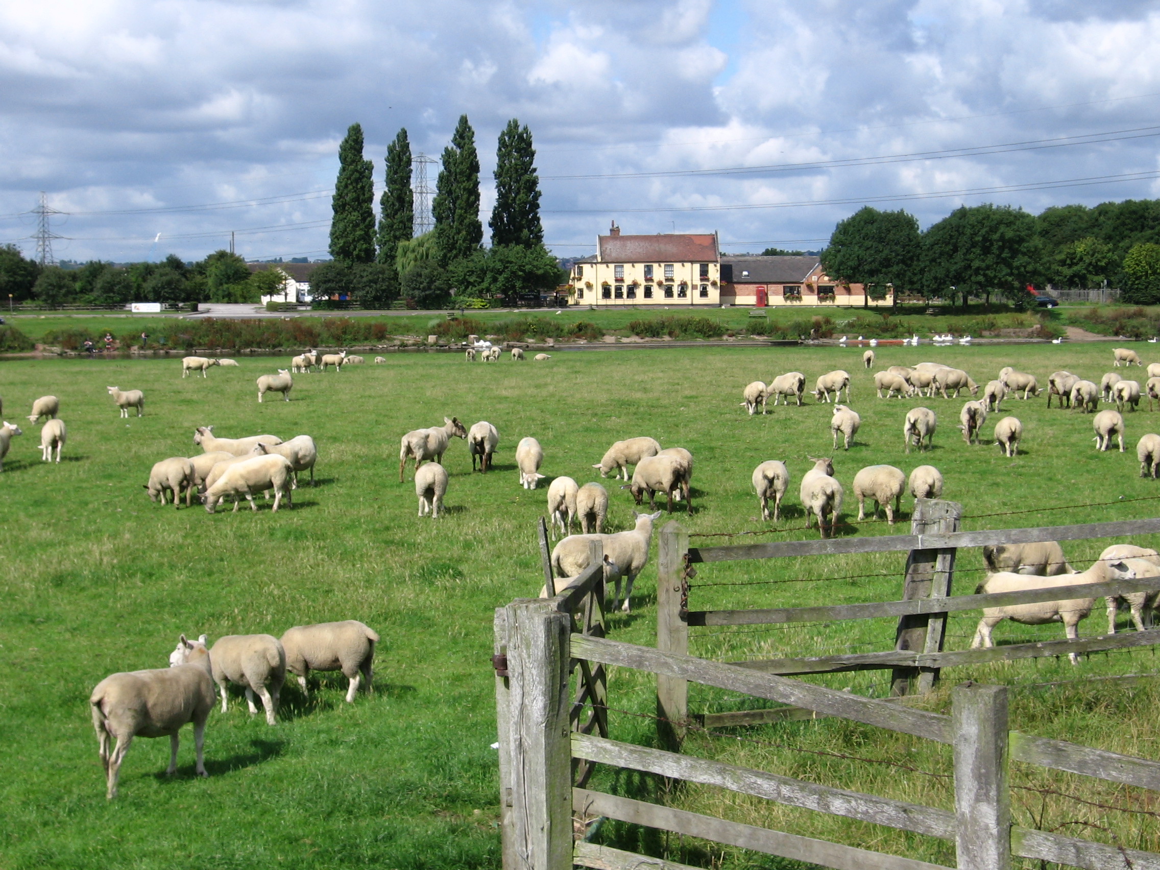
One of the notable landmarks in Stoke Bardolph is the Stoke Bardolph Nature Reserve, which covers an area of approximately 150 acres. This reserve is home to a diverse range of flora and fauna, making it a popular spot for nature enthusiasts and birdwatchers. The River Trent also offers opportunities for recreational activities such as fishing and boating.
The parish is served by a small primary school, providing education to local children. For other amenities and services, residents often rely on nearby towns and villages.
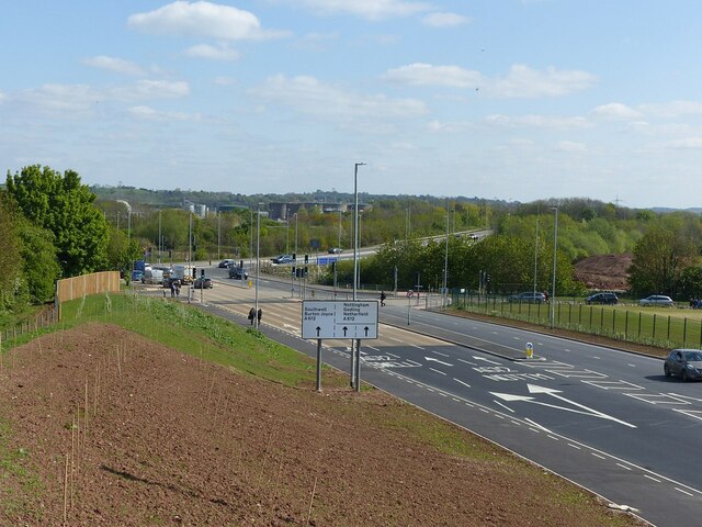
Stoke Bardolph is well-connected to the rest of Nottinghamshire, with good road links to the A612 and A52. The nearest railway station is in Burton Joyce, approximately 2 miles away, providing access to Nottingham and other major cities.
Overall, Stoke Bardolph offers a peaceful and picturesque setting, with its proximity to the River Trent and surrounding countryside making it an attractive place to live for those seeking a rural lifestyle within easy reach of urban amenities.
If you have any feedback on the listing, please let us know in the comments section below.
Stoke Bardolph Images
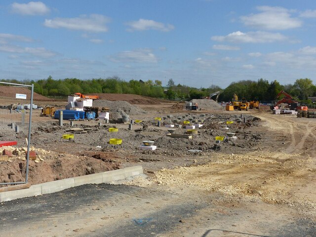
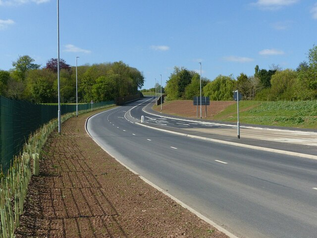
Images are sourced within 2km of 52.965594/-1.047783 or Grid Reference SK6441. Thanks to Geograph Open Source API. All images are credited.


Stoke Bardolph is located at Grid Ref: SK6441 (Lat: 52.965594, Lng: -1.047783)
Administrative County: Nottinghamshire
District: Gedling
Police Authority: Nottinghamshire
What 3 Words
///unity.loaded.supply. Near Radcliffe on Trent, Nottinghamshire
Nearby Locations
Related Wikis

Gedling (UK Parliament constituency)
Gedling is a constituency in Nottinghamshire created in 1983 represented in the House of Commons of the UK Parliament since 2019 by Tom Randall of the...
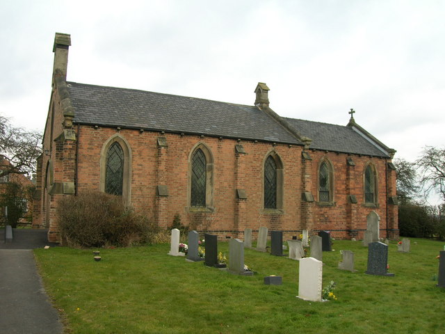
St Luke's Church, Stoke Bardolph
St Luke's Church, Stoke Bardolph is a parish church in the Church of England in Stoke Bardolph. == History == The church is built of plain brick dating...
Stoke Bardolph
Stoke Bardolph is a village and civil parish in the Gedling district of Nottinghamshire. The population of the civil parish taken at the 2011 census was...

Gedling Town F.C.
Gedling Town Football Club was a semi-professional football club based in Stoke Bardolph, Nottinghamshire, England. Founded in 1985 as R & R Scaffolding...
Carlton Town F.C.
Carlton Town Football Club is a semi-professional football club based in Gedling, Nottinghamshire, England. Founded in 1904 as Sneinton Football Club,...
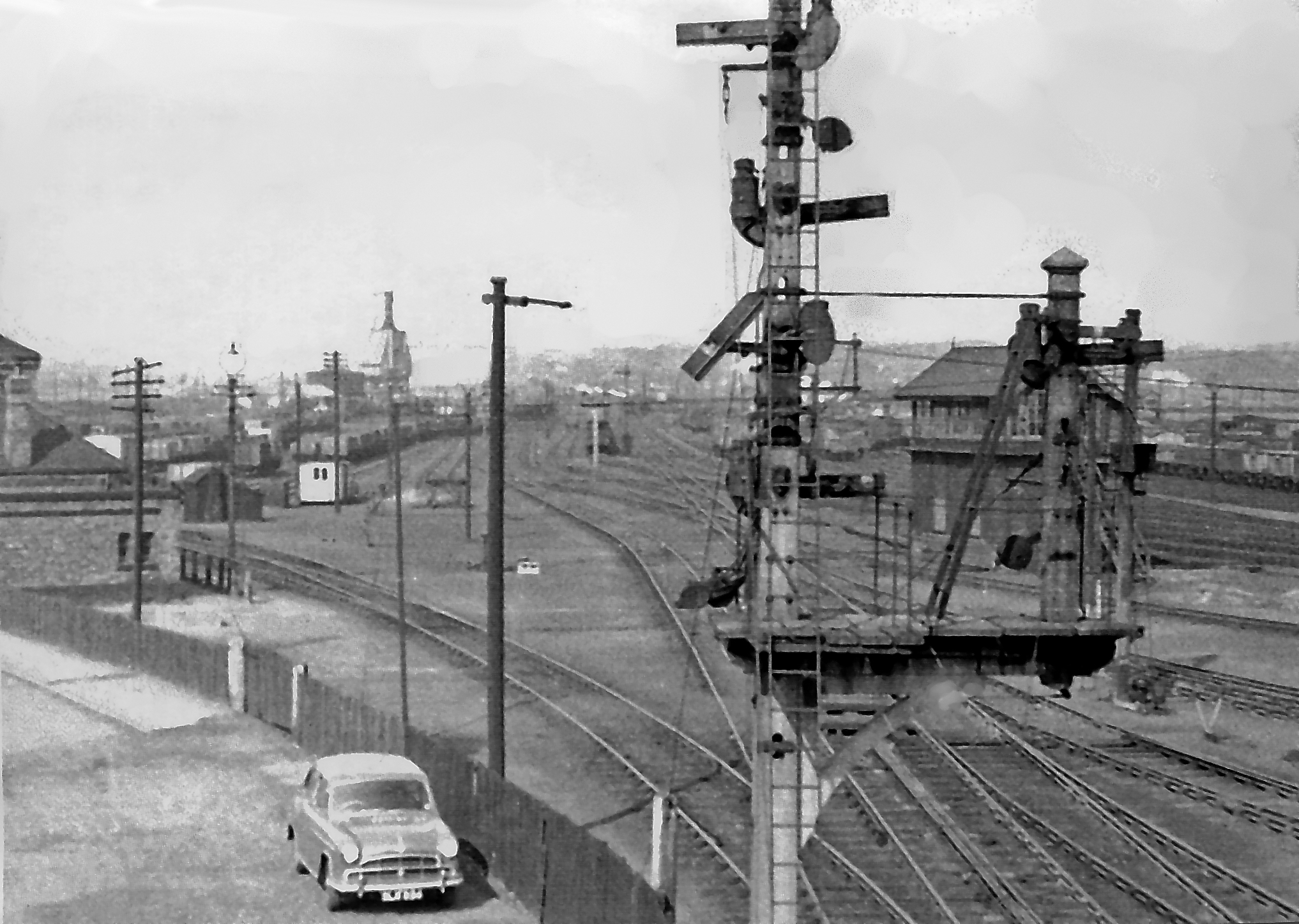
Colwick marshalling yard
Colwick marshalling yard, also known as Colwick sidings, was a large railway marshalling yard in Netherfield, Nottingham designed for the concentration...

Rectory Junction Viaduct
Rectory Junction Viaduct, also known as the Radcliffe Viaduct, crosses the River Trent between Netherfield and Radcliffe on Trent near Nottingham. It...
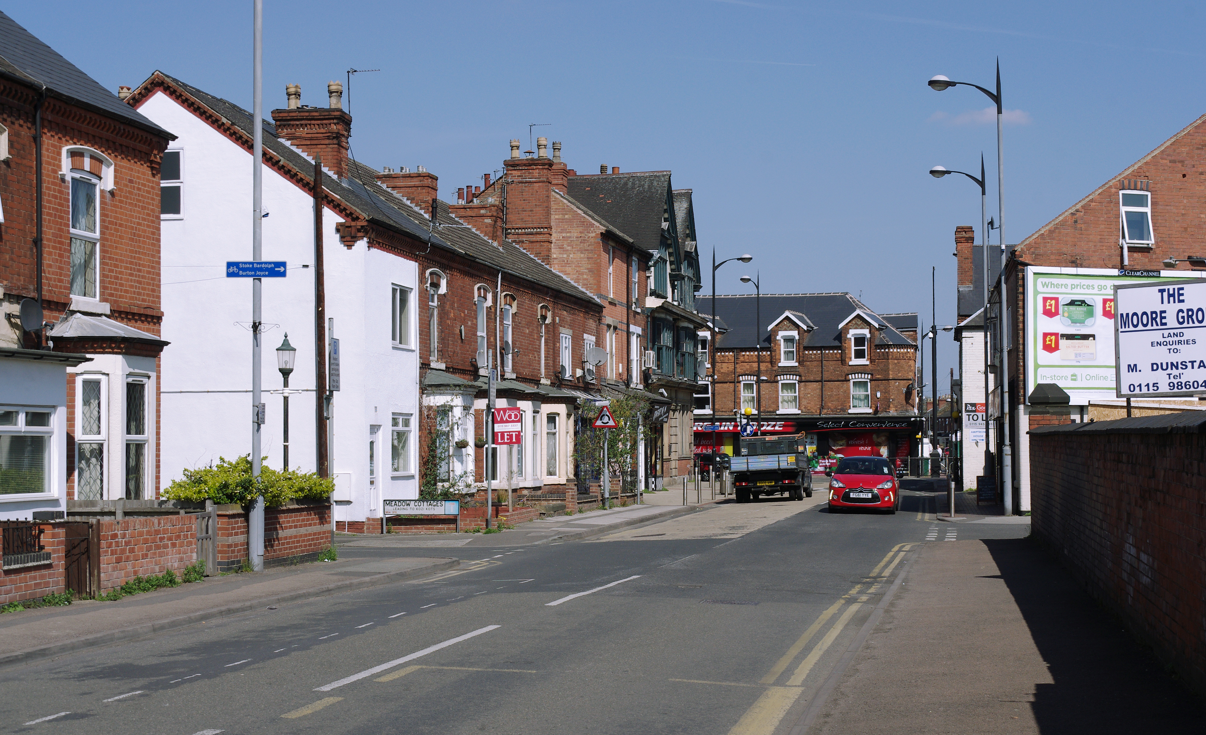
Netherfield, Nottinghamshire
Netherfield is a town in the Borough of Gedling in Nottinghamshire, England. It is situated to the east of Nottingham's city boundary and is approximately...
Nearby Amenities
Located within 500m of 52.965594,-1.047783Have you been to Stoke Bardolph?
Leave your review of Stoke Bardolph below (or comments, questions and feedback).