Stoke Bardolph
Settlement in Nottinghamshire Gedling
England
Stoke Bardolph

Stoke Bardolph is a village located in the county of Nottinghamshire, England. It lies about 5 miles east of the city of Nottingham, and is situated on the banks of the River Trent. The village is part of the Gedling borough and has a population of around 400 people.
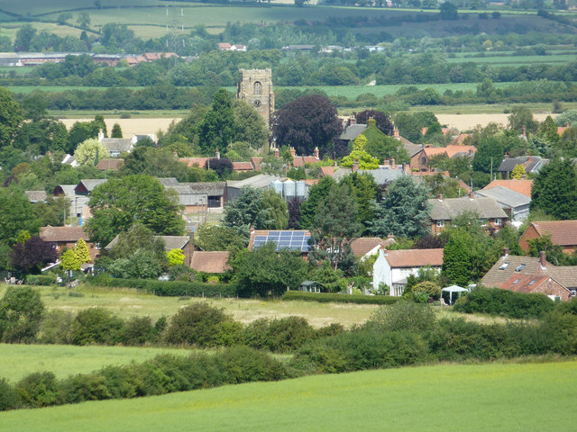
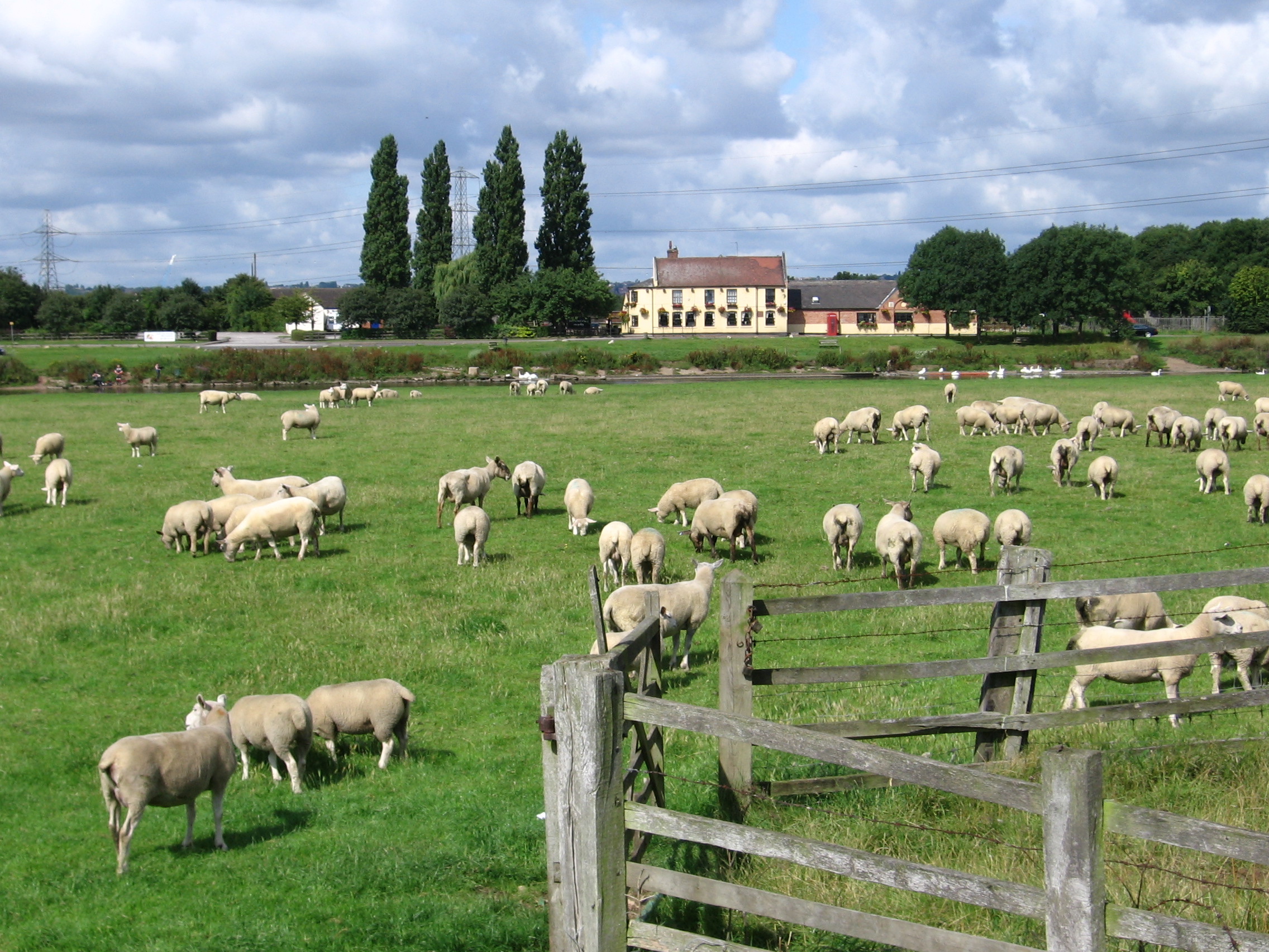
Stoke Bardolph is known for its picturesque countryside setting, with rolling hills, green fields, and meandering waterways. The River Trent, which flows through the village, provides opportunities for outdoor activities such as fishing and boating. The nearby Attenborough Nature Reserve is a popular destination for birdwatchers and nature enthusiasts.
Historically, Stoke Bardolph was an important industrial area, with several mills and factories operating along the riverbanks. Today, many of these buildings have been converted into residential properties, adding to the village's charm and character.
The village has a close-knit community, with a primary school, a church, and a village hall serving as focal points for social gatherings and events. There is also a local pub that provides a meeting place for residents and visitors alike.
Stoke Bardolph offers a quiet and peaceful environment, ideal for those seeking a rural escape. Its proximity to Nottingham allows for easy access to the city's amenities and attractions, making it an attractive place to live for those who value a balance between countryside living and urban convenience.
If you have any feedback on the listing, please let us know in the comments section below.
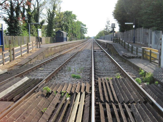
Stoke Bardolph Images
Images are sourced within 2km of 52.967296/-1.0403 or Grid Reference SK6441. Thanks to Geograph Open Source API. All images are credited.


Stoke Bardolph is located at Grid Ref: SK6441 (Lat: 52.967296, Lng: -1.0403)
Administrative County: Nottinghamshire
District: Gedling
Police Authority: Nottinghamshire
What 3 Words
///travel.mailings.paces. Near Radcliffe on Trent, Nottinghamshire
Nearby Locations
Related Wikis
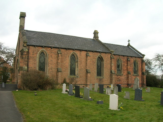
St Luke's Church, Stoke Bardolph
St Luke's Church, Stoke Bardolph is a parish church in the Church of England in Stoke Bardolph. == History == The church is built of plain brick dating...
Stoke Bardolph
Stoke Bardolph is a village and civil parish in the Gedling district of Nottinghamshire. The population of the civil parish taken at the 2011 census was...

Gedling Town F.C.
Gedling Town Football Club was a semi-professional football club based in Stoke Bardolph, Nottinghamshire, England. Founded in 1985 as R & R Scaffolding...

Gedling (UK Parliament constituency)
Gedling is a constituency in Nottinghamshire created in 1983 represented in the House of Commons of the UK Parliament since 2019 by Tom Randall of the...
Nearby Amenities
Located within 500m of 52.967296,-1.0403Have you been to Stoke Bardolph?
Leave your review of Stoke Bardolph below (or comments, questions and feedback).