Steeton with Eastburn
Civil Parish in Yorkshire Bradford
England
Steeton with Eastburn
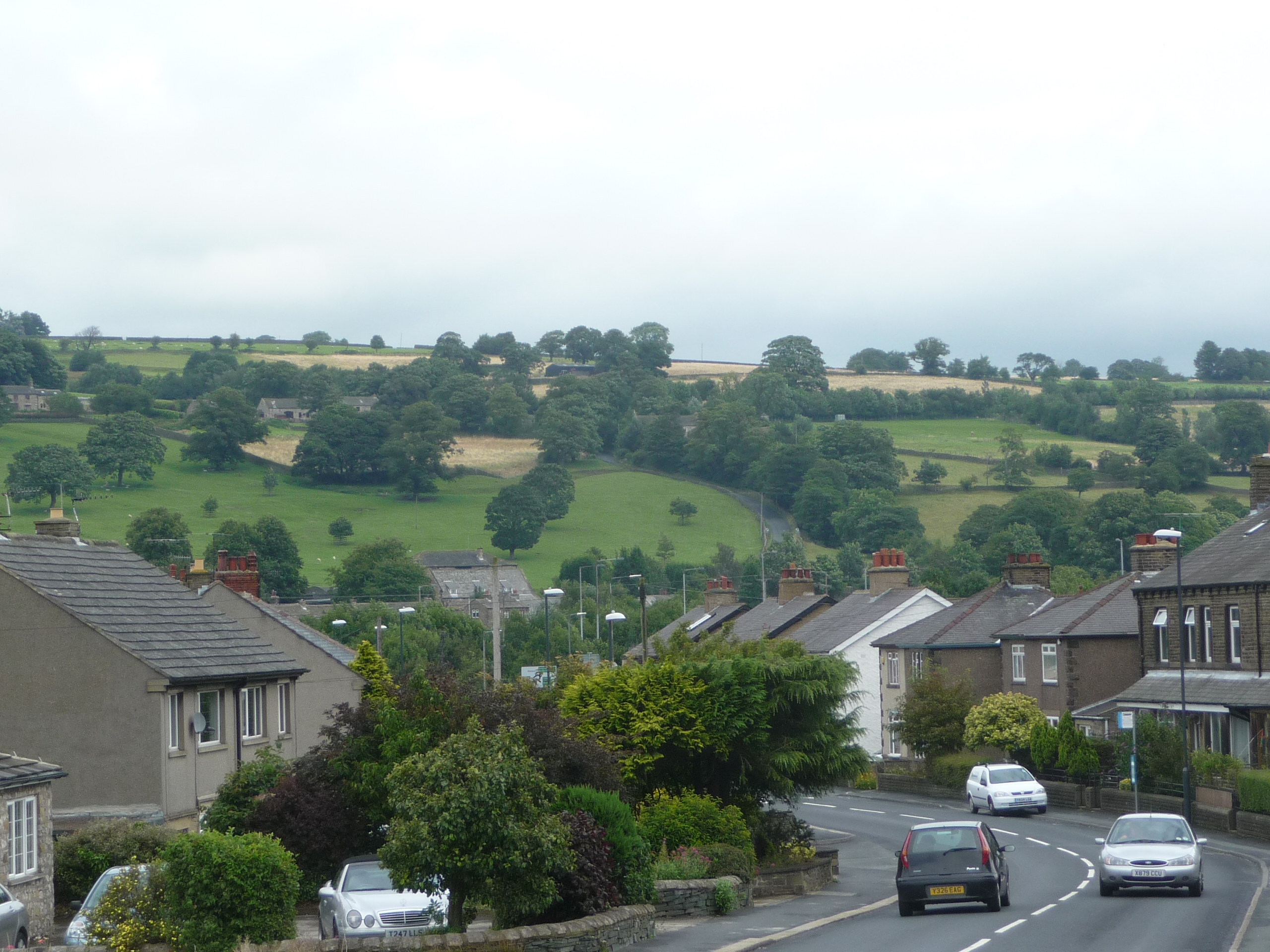
Steeton with Eastburn is a civil parish located in the metropolitan borough of Bradford, in the county of Yorkshire, England. Situated in the Aire Valley, it is approximately 5 miles southeast of the town of Keighley and about 12 miles northwest of the city of Bradford.
The parish encompasses two villages, Steeton and Eastburn, which are located adjacent to each other. Steeton is the larger of the two villages and serves as a commuter settlement for nearby towns and cities. It has a population of around 4,500 residents. Eastburn, on the other hand, is a smaller village with a population of approximately 1,000 people.
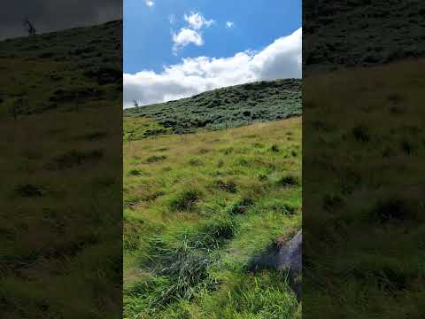
The area is known for its picturesque countryside, with rolling hills and beautiful landscapes. Steeton with Eastburn offers a mix of rural charm and modern amenities, making it an attractive place to live. The village of Steeton has a range of local shops, pubs and restaurants, as well as a primary school and a railway station, providing good transport links to nearby towns.
The local economy is diverse, with a mix of industries including agriculture, manufacturing, and services. There are also several businesses in the area, providing employment opportunities for the local population.
Steeton with Eastburn is surrounded by numerous walking and cycling routes, making it popular among outdoor enthusiasts. The nearby countryside also offers opportunities for fishing, horse riding, and other leisure activities.
Overall, Steeton with Eastburn is a tranquil and picturesque civil parish that offers a close-knit community, modern amenities, and a beautiful natural environment.
If you have any feedback on the listing, please let us know in the comments section below.
Steeton with Eastburn Images
Images are sourced within 2km of 53.890723/-1.955628 or Grid Reference SE0343. Thanks to Geograph Open Source API. All images are credited.


Steeton with Eastburn is located at Grid Ref: SE0343 (Lat: 53.890723, Lng: -1.955628)
Division: West Riding
Administrative County: West Yorkshire
District: Bradford
Police Authority: West Yorkshire
What 3 Words
///meals.blues.skips. Near Steeton, West Yorkshire
Nearby Locations
Related Wikis

Steeton with Eastburn
Steeton with Eastburn is a civil parish within the City of Bradford Metropolitan District, West Yorkshire, England. Historically part of the West Riding...
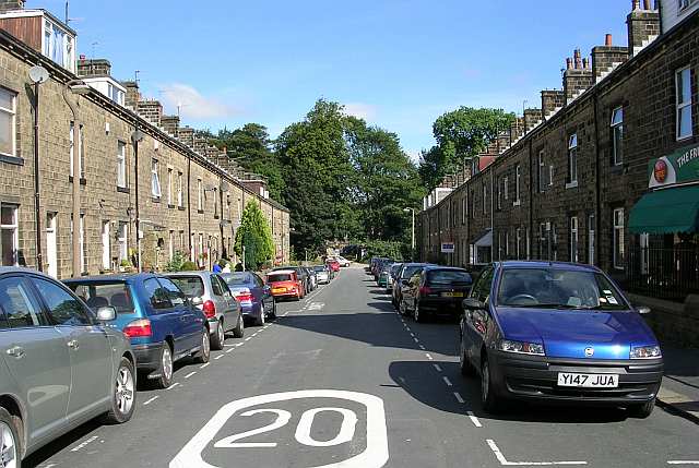
Steeton, West Yorkshire
Steeton is a village in the City of Bradford metropolitan borough, West Yorkshire, England. Historically part of the West Riding of Yorkshire, it is situated...
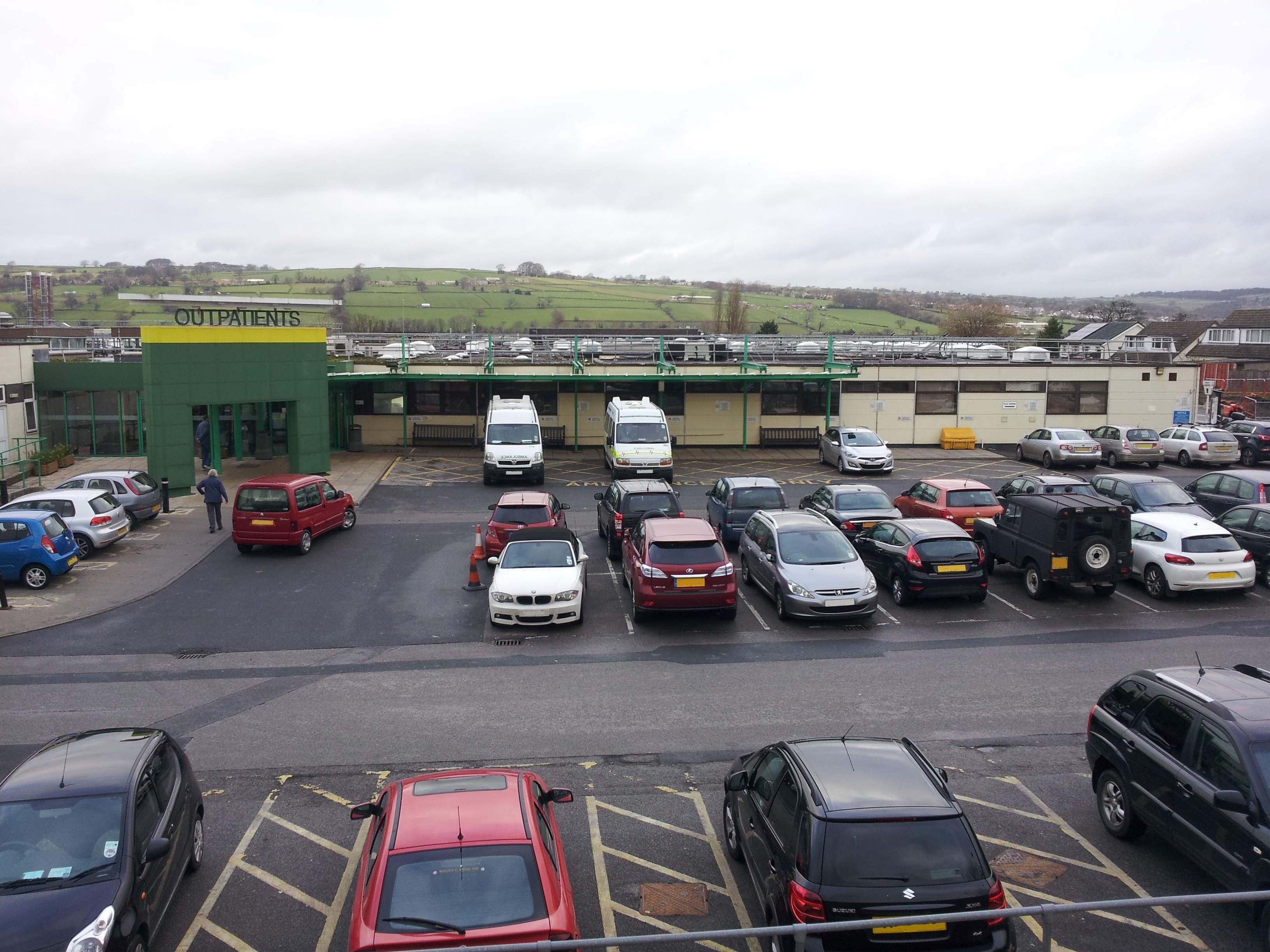
Airedale General Hospital
Airedale General Hospital is an NHS district General Hospital based in Steeton with Eastburn, West Yorkshire, England and is operated by the Airedale NHS...

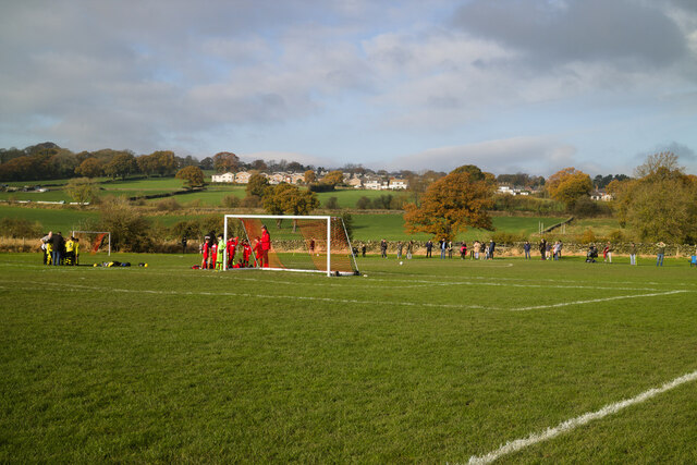
Steeton A.F.C.
Steeton Association Football Club is an English football club based in Steeton, West Yorkshire. They are currently members of the North West Counties League...
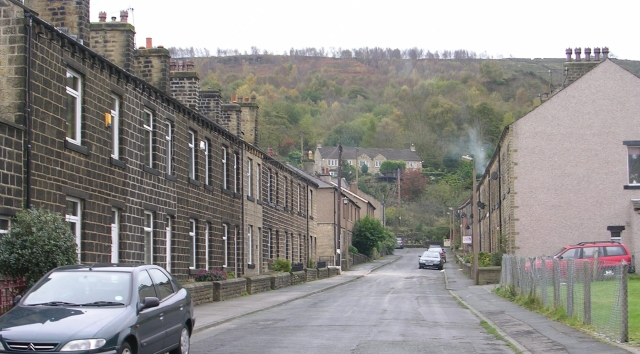
Eastburn, West Yorkshire
Eastburn is a village within the Steeton with Eastburn civil parish, in the City of Bradford Metropolitan District, West Yorkshire, England. The road...

Steeton and Silsden railway station
Steeton and Silsden railway station serves the village of Steeton and the town of Silsden in West Yorkshire, England. It is situated closer to Steeton...

Silsden A.F.C.
Silsden A.F.C. is a football club based in Silsden, West Yorkshire, England, and is currently a member of the Northern Counties East League Premier Division...
Cross Hills
Cross Hills is a village in the Craven district of North Yorkshire, England that is situated halfway between Skipton and Keighley. The village is at the...
Related Videos
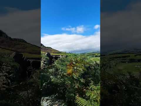
Love the sound of nature | Song Clocks Alex Baker | Eastburn Yorkshire UK #travel #youtubeshorts
Enjoy a lovely hike from the Airedale General Hospital Keighley to this beautiful hill top from where you can see the towns of ...
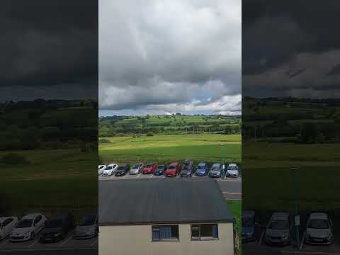
Steeton- Beautiful countryside of West Yorkshire , England UK (Amazing landscape) #youtubeshorts
Steeton is a beautiful town in the West Yorkshire accessible via Northern Railway from Leeds in 30 minutes and Bradford in 30 ...
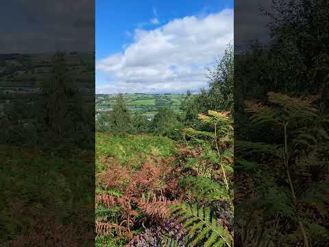
Eastburn- West Yorkshire England | Song I am alive Celine Dion | Nature #nature #ytshorts #iamalive
Eastburn is a small town in the county of West Yorkshire and a gateway to Yorkshire Dales. It has a small post office and a hospital ...
Party time | sunny weather | Yorkshire England | Song Green Green Grass #travel #countryside #viral
West Yorkshire England has one of the best country side in the United Kingdom with amazing landscapes and scenery. This place ...
Nearby Amenities
Located within 500m of 53.890723,-1.955628Have you been to Steeton with Eastburn?
Leave your review of Steeton with Eastburn below (or comments, questions and feedback).