Great Gill
Valley in Yorkshire
England
Great Gill
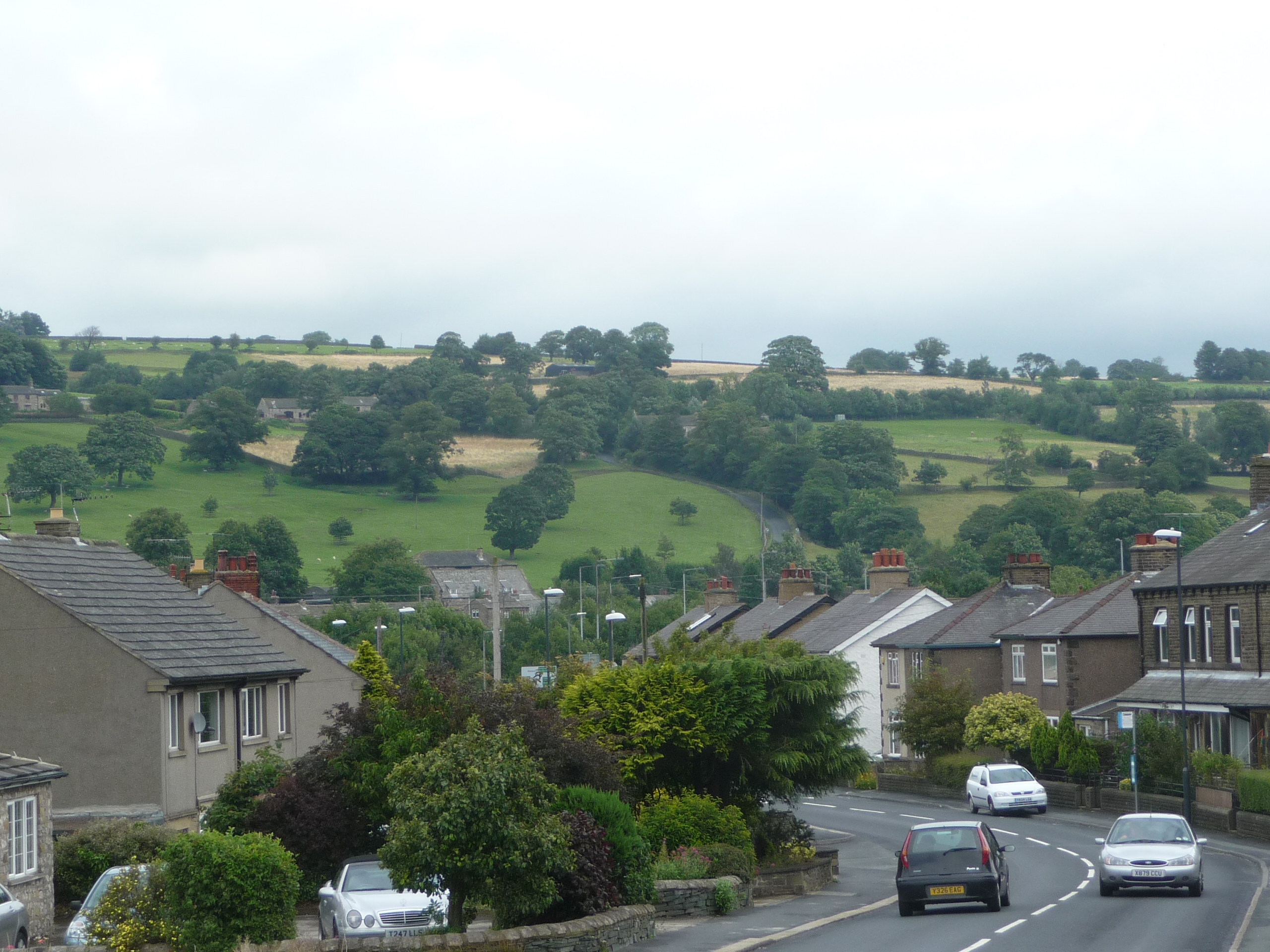
Great Gill is a picturesque valley located in the county of Yorkshire, England. Situated in the heart of the Yorkshire Dales National Park, it is renowned for its stunning natural beauty and tranquil atmosphere. The valley is named after the Gill Beck, a small stream that meanders through the area, adding to its charm.
Surrounded by rolling hills and lush green meadows, Great Gill offers a haven for outdoor enthusiasts and nature lovers. The valley is dotted with ancient woodland, providing a habitat for various species of flora and fauna. Visitors can explore the well-maintained footpaths that crisscross the valley, offering breathtaking views of the surrounding countryside.
Great Gill is also home to a number of historical landmarks and cultural sites. The remnants of an old stone bridge can be found near the entrance of the valley, serving as a reminder of the area's rich heritage. Additionally, there are several traditional Yorkshire stone-built farmhouses and barns scattered throughout the valley, showcasing the region's architectural charm.
The valley attracts visitors throughout the year, with each season offering its own unique appeal. In spring, Great Gill is adorned with vibrant wildflowers and blossoming trees, creating a picturesque landscape. During the summer months, the valley becomes a haven for hikers and cyclists, as the weather is mild and the trails are easily accessible. Autumn brings a stunning display of colors as the foliage turns golden and red, while winter covers the valley in a blanket of snow, presenting a peaceful and serene setting.
Overall, Great Gill, Yorkshire is a hidden gem within the Yorkshire Dales, offering visitors an opportunity to immerse themselves in the beauty of nature and experience the tranquility of the countryside.
If you have any feedback on the listing, please let us know in the comments section below.
Great Gill Images
Images are sourced within 2km of 53.889815/-1.9533903 or Grid Reference SE0343. Thanks to Geograph Open Source API. All images are credited.


Great Gill is located at Grid Ref: SE0343 (Lat: 53.889815, Lng: -1.9533903)
Division: West Riding
Unitary Authority: Bradford
Police Authority: West Yorkshire
What 3 Words
///back.melt.fans. Near Steeton, West Yorkshire
Nearby Locations
Related Wikis

Steeton with Eastburn
Steeton with Eastburn is a civil parish within the City of Bradford Metropolitan District, West Yorkshire, England. Historically part of the West Riding...
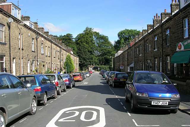
Steeton, West Yorkshire
Steeton is a village in the City of Bradford metropolitan borough, West Yorkshire, England. Historically part of the West Riding of Yorkshire, it is situated...

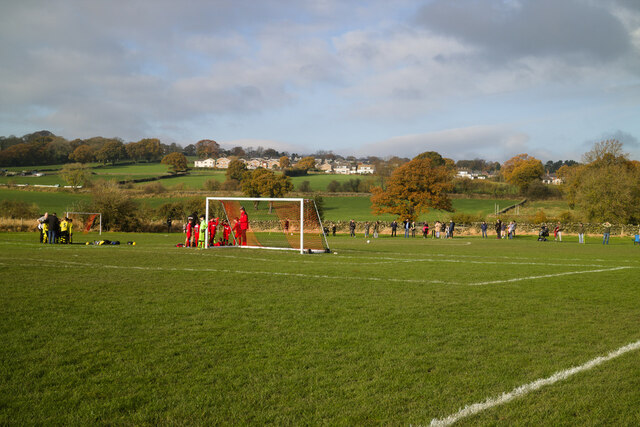
Steeton A.F.C.
Steeton Association Football Club is an English football club based in Steeton, West Yorkshire. They are currently members of the North West Counties League...
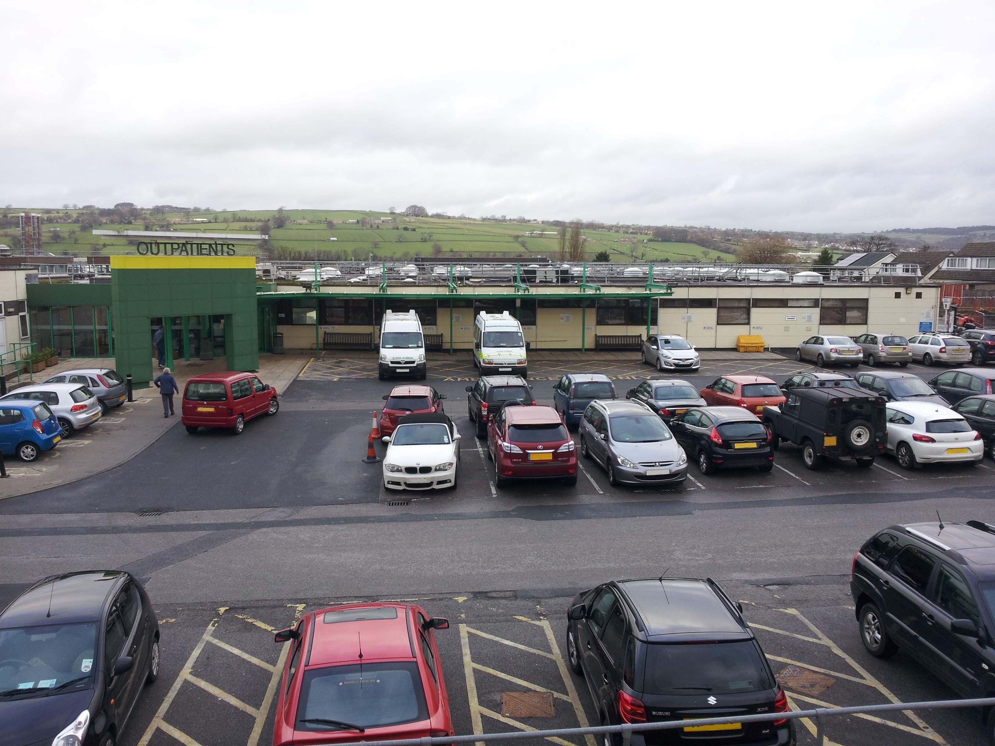
Airedale General Hospital
Airedale General Hospital is an NHS district General Hospital based in Steeton with Eastburn, West Yorkshire, England and is operated by the Airedale NHS...

Steeton and Silsden railway station
Steeton and Silsden railway station serves the village of Steeton and the town of Silsden in West Yorkshire, England. It is situated closer to Steeton...
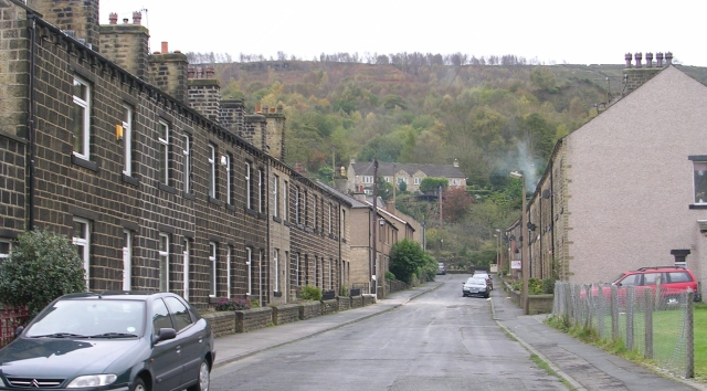
Eastburn, West Yorkshire
Eastburn is a village within the Steeton with Eastburn civil parish, in the City of Bradford Metropolitan District, West Yorkshire, England. The road...

Silsden A.F.C.
Silsden A.F.C. is a football club based in Silsden, West Yorkshire, England, and is currently a member of the Northern Counties East League Premier Division...
Cross Hills
Cross Hills is a village in the Craven district of North Yorkshire, England that is situated halfway between Skipton and Keighley. The village is at the...
Nearby Amenities
Located within 500m of 53.889815,-1.9533903Have you been to Great Gill?
Leave your review of Great Gill below (or comments, questions and feedback).