St. Cosmus and St. Damian in the Blean
Civil Parish in Kent Canterbury
England
St. Cosmus and St. Damian in the Blean
St. Cosmus and St. Damian Church is an ancient parish church located in the Blean, Kent, in southeastern England. The church is dedicated to the twin brothers St. Cosmus and St. Damian, who were reputed to be doctors and martyrs in the Eastern Orthodox Church. The church building itself dates back to the 12th century, although it is believed that a place of worship has existed on the site since Saxon times.
The church is constructed of local flint and stone, typical of the region's architecture. It features a simple rectangular plan with a nave, chancel, and a small tower at the west end. The interior of the church is adorned with beautiful stained glass windows, some of which date back to the 14th century. The windows depict various scenes from the Bible and local saints.
The churchyard surrounding St. Cosmus and St. Damian Church is a peaceful and well-maintained space. It is the final resting place for many generations of the local community, with gravestones dating back centuries. The churchyard also offers stunning views of the surrounding countryside, with rolling hills and picturesque farmland.
Today, St. Cosmus and St. Damian Church continues to serve as an active place of worship for the local community. It holds regular services and hosts various events throughout the year, including weddings, christenings, and concerts. The church is also known for its welcoming and friendly congregation, who are always eager to share the history and significance of their beloved church with visitors.
If you have any feedback on the listing, please let us know in the comments section below.
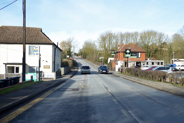
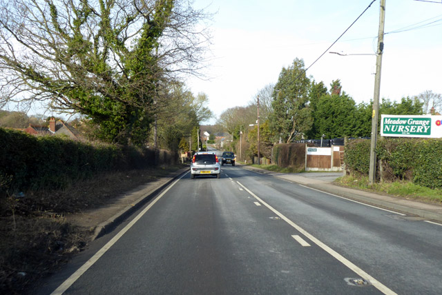
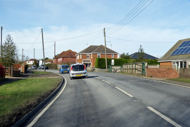
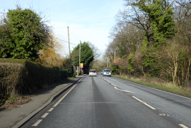
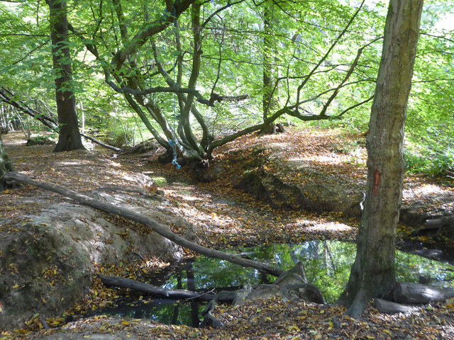
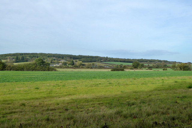
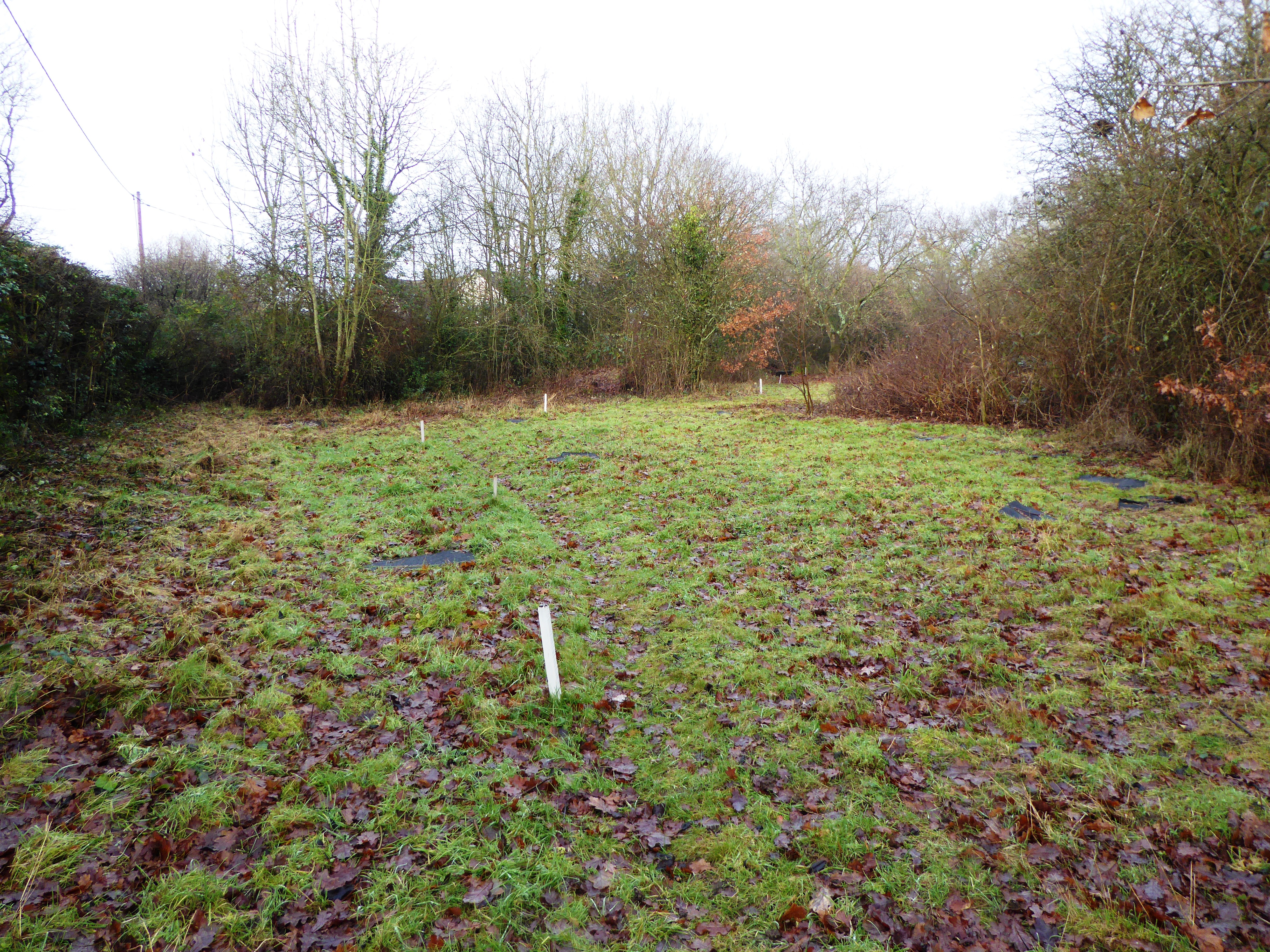
St. Cosmus and St. Damian in the Blean Images
Images are sourced within 2km of 51.310363/1.04057 or Grid Reference TR1261. Thanks to Geograph Open Source API. All images are credited.
St. Cosmus and St. Damian in the Blean is located at Grid Ref: TR1261 (Lat: 51.310363, Lng: 1.04057)
Administrative County: Kent
District: Canterbury
Police Authority: Kent
What 3 Words
///tadpoles.rehearsal.remembers. Near Blean, Kent
Nearby Locations
Related Wikis

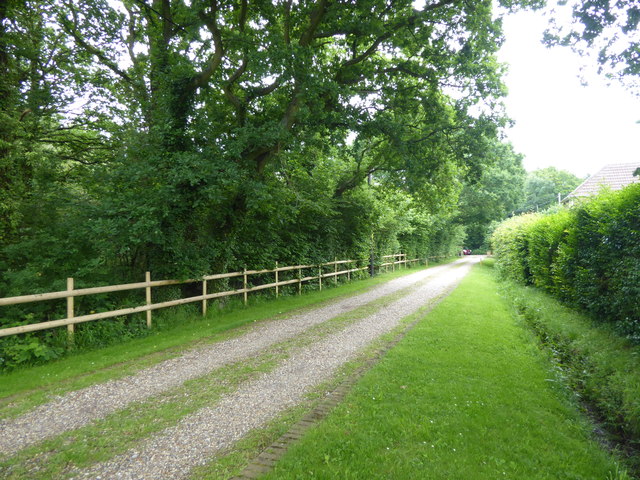
Blean
Blean is a village and civil parish in the Canterbury district of Kent, England. The civil parish is large and is mostly woodland, much of which is ancient...

Honey Hill, Kent
Honey Hill is a hamlet on the A290 road, near the village of Blean, in the Canterbury district, in the English county of Kent.

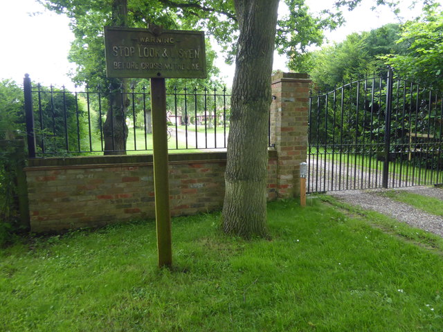
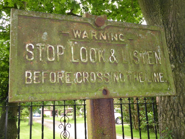
Blean and Tyler Hill Halt railway station
Blean and Tyler Hill Halt was a minor station on the Canterbury and Whitstable Railway at Tyler Hill, Kent. It opened in 1908 and closed in 1931. ��2...

Canterbury (UK Parliament constituency)
Canterbury is a constituency in Kent represented in the House of Commons of the UK Parliament since 2017 by Rosie Duffield of the Labour Party.The seat...
Denstroude
Denstroude is a dispersed hamlet located to the west of the A290 road north of Canterbury in Kent, England. It is a collection of houses and farms, one...
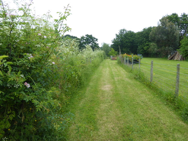
Tyler Hill Meadow
Tyler Hill Meadow is a 0.8-hectare (2.0-acre) Local Nature Reserve in Hackington, north of Canterbury in Kent. It is owned by Hackington Parish Council...
Fifteenth Lambeth Conference
The fifteenth Lambeth Conference was an assembly of bishops of the Anglican Communion convened by the archbishop of Canterbury, Justin Welby, between 27...

Rough Common
Rough Common is a village in Canterbury in the parrish of Harbledown, Kent, England. It forms part of the civil parish of Harbledown and Rough Common...
Nearby Amenities
Located within 500m of 51.310363,1.04057Have you been to St. Cosmus and St. Damian in the Blean?
Leave your review of St. Cosmus and St. Damian in the Blean below (or comments, questions and feedback).