Southoe and Midloe
Civil Parish in Huntingdonshire Huntingdonshire
England
Southoe and Midloe
Southoe and Midloe is a civil parish located in the district of Huntingdonshire, in the county of Cambridgeshire, England. It is situated approximately 9 miles west of Huntingdon and 4 miles south of St Neots. The civil parish covers an area of around 5 square kilometers.
The parish is made up of two villages, Southoe and Midloe, which are located adjacent to each other. Southoe has a population of around 300 residents, while Midloe is much smaller, with only a handful of houses. The villages are predominantly rural, with a mix of agricultural land and residential properties.
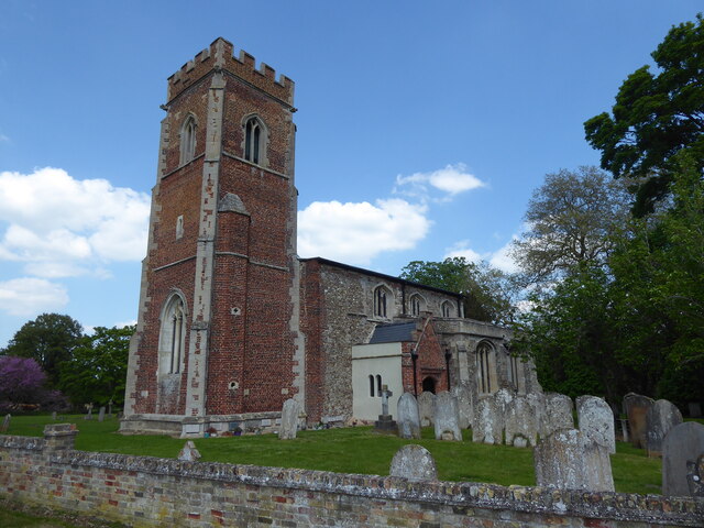
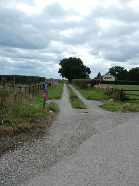
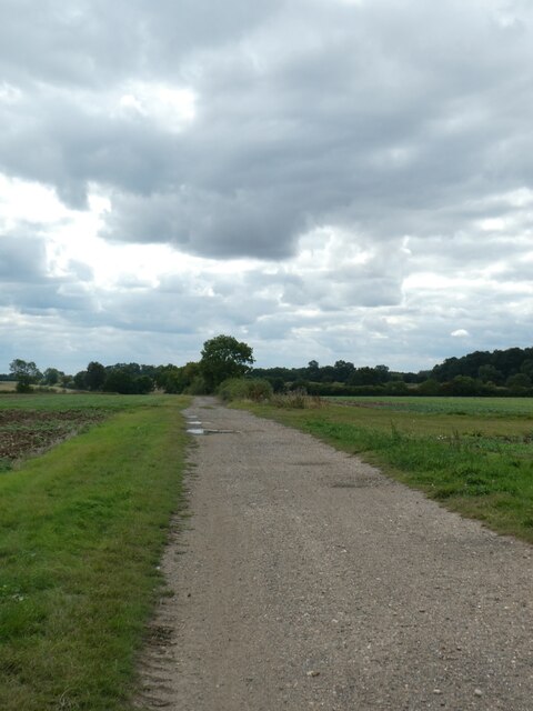
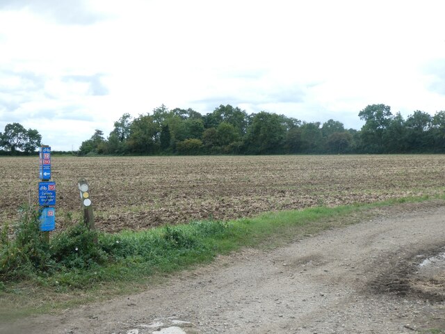
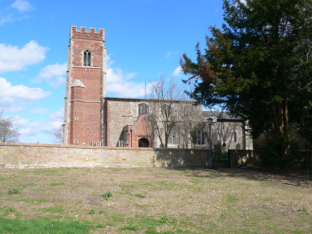
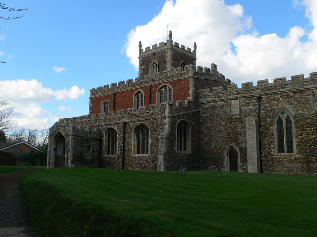
The area is known for its picturesque countryside, with rolling hills and charming rural landscapes. There are several walking and cycling routes that pass through the parish, making it popular with outdoor enthusiasts. The parish is also home to a number of historic buildings, including St Leonard's Church in Southoe, which dates back to the 12th century.
Despite its small size, Southoe and Midloe has a strong sense of community, with various local events and activities taking place throughout the year. The parish is served by a local primary school, and there are also a few amenities in the nearby villages, such as a pub and a village hall.
Overall, Southoe and Midloe offer a peaceful and idyllic setting, perfect for those seeking a rural lifestyle in a scenic part of Cambridgeshire.
If you have any feedback on the listing, please let us know in the comments section below.
Southoe and Midloe Images
Images are sourced within 2km of 52.268689/-0.274843 or Grid Reference TL1764. Thanks to Geograph Open Source API. All images are credited.


Southoe and Midloe is located at Grid Ref: TL1764 (Lat: 52.268689, Lng: -0.274843)
Administrative County: Cambridgeshire
District: Huntingdonshire
Police Authority: Cambridgeshire
What 3 Words
///shimmered.gardens.glass. Near Little Paxton, Cambridgeshire
Nearby Locations
Related Wikis

Southoe and Midloe
Southoe and Midloe is a small civil parish in Cambridgeshire, England. The parish lies approximately 6 miles (10 km) south-west of Huntingdon. The parish...
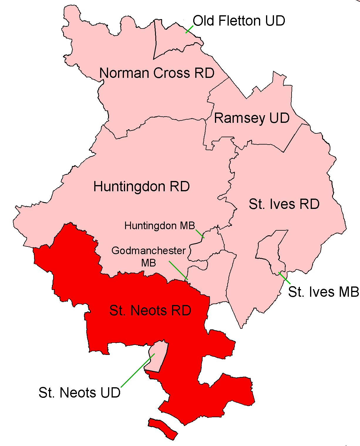
St Neots Rural District
St Neots was a rural district in Huntingdonshire, England from 1894 to 1974, around the northern and eastern sides of the urban area of St Neots. The district...

Little Paxton Wood
Little Paxton Wood is a 44.1-hectare biological Site of Special Scientific Interest west of Little Paxton in Cambridgeshire.This ancient wood is wet ash...
Diddington
Diddington is a small village and civil parish in Cambridgeshire, England. Diddington lies approximately 5 miles (8 km) south-west of Huntingdon, near...
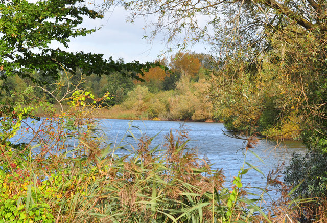
Little Paxton Pits
Little Paxton Pits is a 127.4-hectare (315-acre) biological Site of Special Scientific Interest in Little Paxton in Cambridgeshire. Part of it is also...
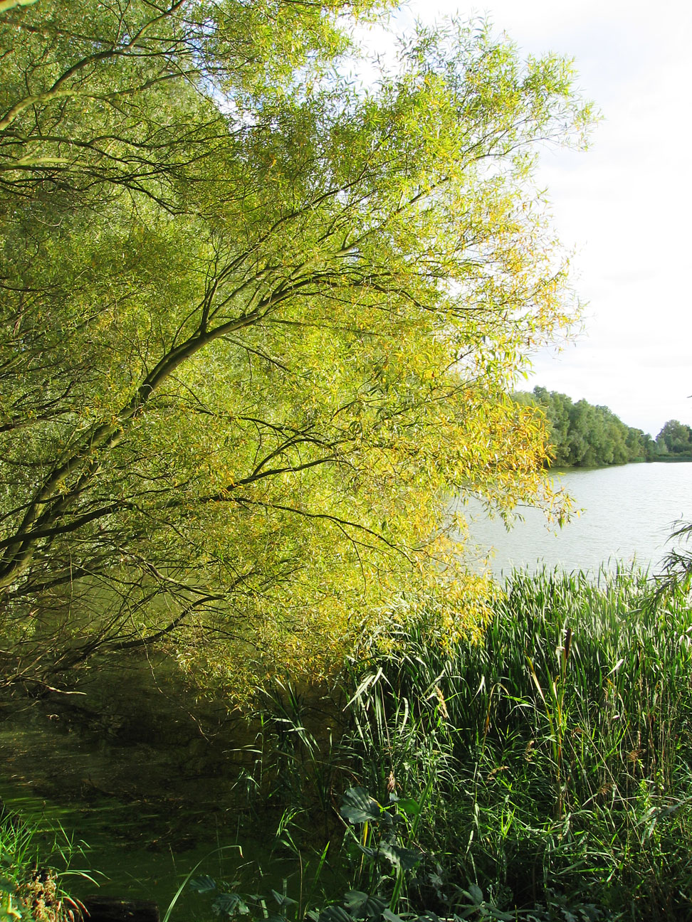
Paxton Pits Nature Reserve
Paxton Pits is an area of active and disused gravel pits at Little Paxton near St Neots in Cambridgeshire, England. The disused pits have been turned into...

Little Paxton
Little Paxton in Cambridgeshire, England is a village and civil parish that lies 5 miles (8.0 km) south of Huntingdon and 1.7 miles (2.7 km) north of St...
Southoe
Southoe is a small village and former civil parish, now in the parish of Southoe and Midloe, in Cambridgeshire, England. Southoe lies approximately 6 miles...
Nearby Amenities
Located within 500m of 52.268689,-0.274843Have you been to Southoe and Midloe?
Leave your review of Southoe and Midloe below (or comments, questions and feedback).