South Cove
Civil Parish in Suffolk East Suffolk
England
South Cove

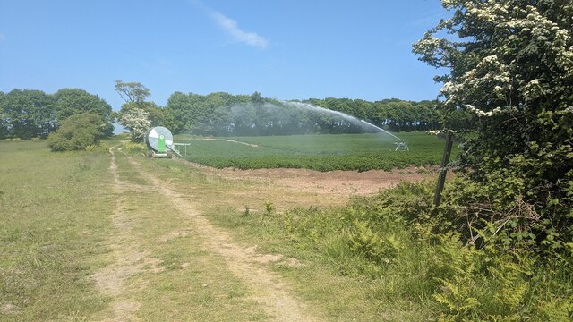
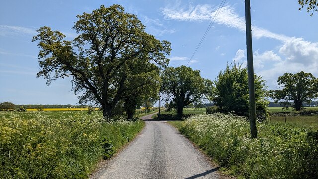
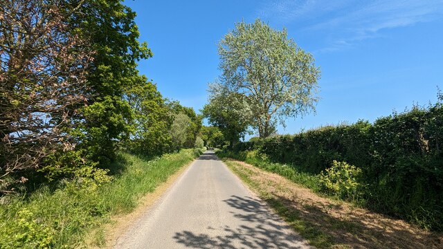
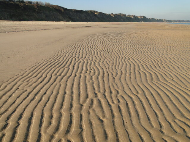
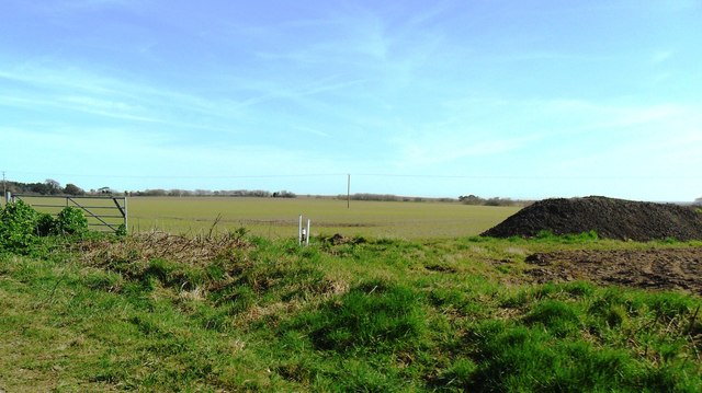
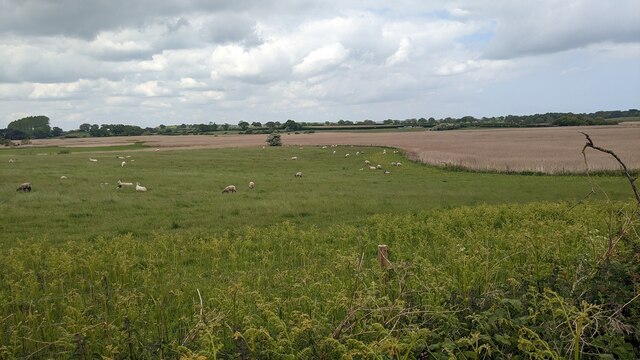
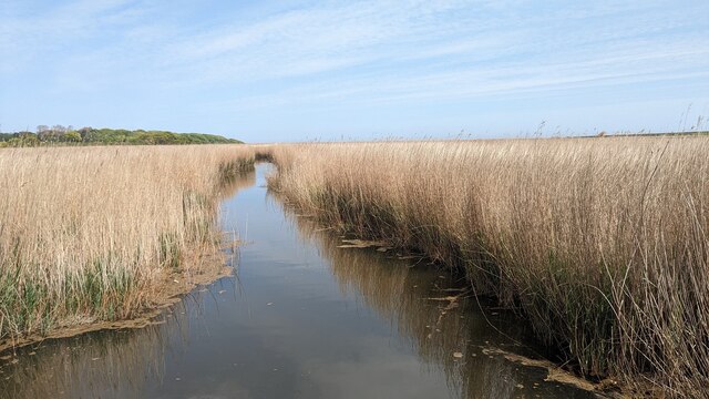
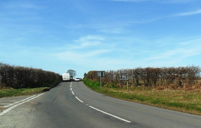
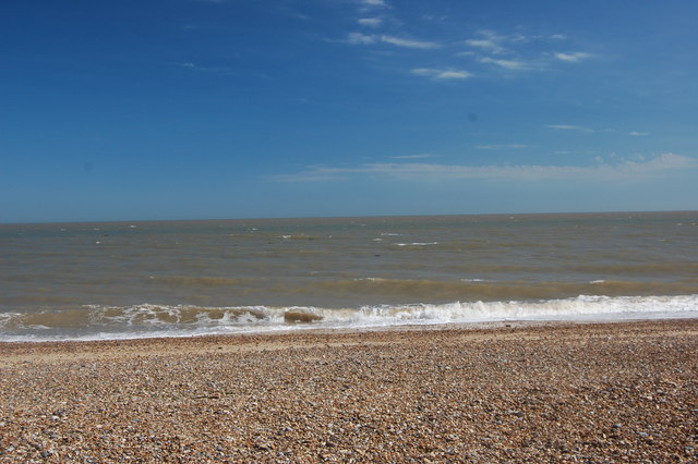
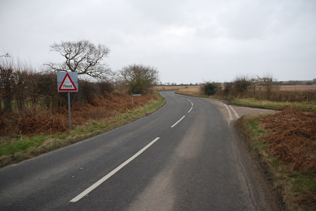
South Cove is a civil parish located in the coastal county of Suffolk, England. Situated on the eastern coast, it lies approximately 5 miles south of the town of Lowestoft and 110 miles northeast of London. The parish covers an area of around 4 square miles and is nestled between the North Sea to the east and a large expanse of farmland to the west.
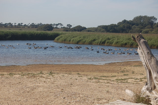
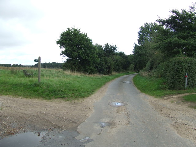
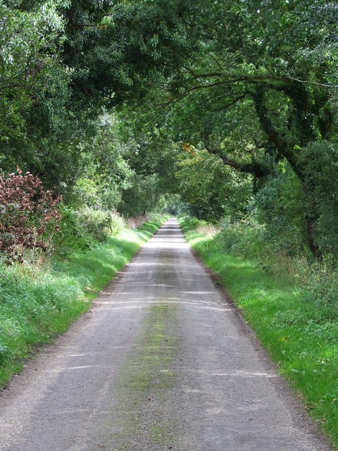
South Cove is a small, rural community with a population of fewer than 100 residents. The parish is characterized by its picturesque countryside, rolling hills, and scenic coastal views. It is a popular destination for nature enthusiasts and outdoor activities, offering opportunities for walking, birdwatching, and exploring the nearby coastal paths.
The village itself consists of a collection of charming cottages and houses, many of which date back to the 19th century. The centerpiece of the village is the 14th-century St. Lawrence Church, a Grade II listed building that showcases stunning medieval architecture.
Despite its small size, South Cove boasts a close-knit community and a strong sense of local pride. The village hosts a range of community events throughout the year, including fairs, concerts, and social gatherings.
South Cove is a tranquil and idyllic destination, offering a peaceful retreat from the hustle and bustle of city life. Its natural beauty and historical charm make it a hidden gem within the Suffolk countryside.
If you have any feedback on the listing, please let us know in the comments section below.
South Cove Images
Images are sourced within 2km of 52.363252/1.672854 or Grid Reference TM5080. Thanks to Geograph Open Source API. All images are credited.


South Cove is located at Grid Ref: TM5080 (Lat: 52.363252, Lng: 1.672854)
Administrative County: Suffolk
District: East Suffolk
Police Authority: Suffolk
What 3 Words
///tonsils.prancing.milky. Near Southwold, Suffolk
Nearby Locations
Related Wikis

South Cove, Suffolk
South Cove is a civil parish in the east of the English county of Suffolk. It is 3 miles (4.8 km) north of the coastal town of Southwold and 1 mile (1...

Benacre National Nature Reserve
Benacre National Nature Reserve is a national nature reserve in the English county of Suffolk. It is located on the North Sea coast in the parishes of...

Frostenden
Frostenden is a village and civil parish in the East Suffolk district of the English county of Suffolk. It is around 8 miles (13 km) south-west of Lowestoft...

Wrentham, Suffolk
Wrentham is a village and civil parish in the East Suffolk district, in the north-east of the English county of Suffolk. It is located about 2 miles (3...
Have you been to South Cove?
Leave your review of South Cove below (or comments, questions and feedback).