South Brent

Civil Parish in Devon South Hams

England

South Brent

Brent Hill House From the lane between Downstow and Gingaford Cross.
Brent Hill House Credit: Derek Harper

South Brent is a civil parish located in the South Hams district of Devon, England. Situated on the southern edge of Dartmoor National Park, it is a charming village surrounded by picturesque countryside and rolling hills. The parish covers an area of approximately 10 square miles and has a population of around 2,500 people.

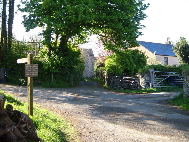
The village itself is centered around a historic market square, which is lined with a variety of local shops, cafes, and pubs. It has a close-knit community atmosphere and is known for its friendly residents and welcoming atmosphere. The parish also boasts a range of amenities, including a primary school, a post office, and a library.

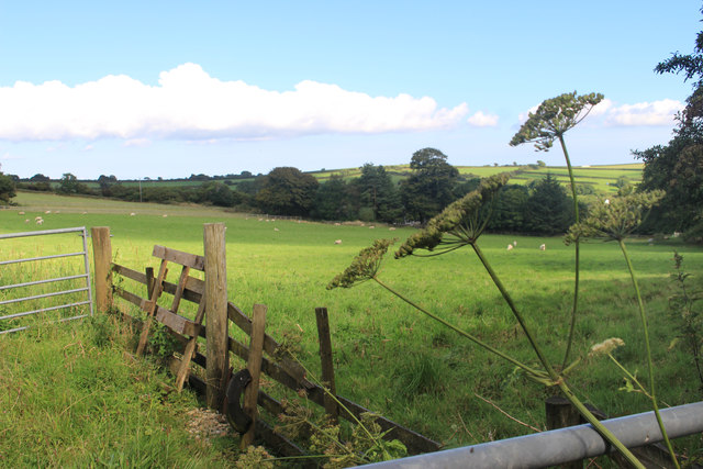
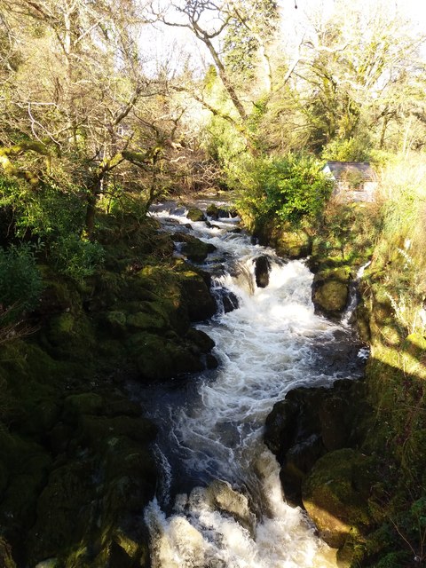
South Brent is a popular destination for outdoor enthusiasts, thanks to its proximity to Dartmoor. The national park offers numerous walking and hiking trails, as well as opportunities for horse riding, cycling, and wildlife spotting. The River Avon, which runs through the village, is also a popular spot for fishing and kayaking.

In terms of transportation, South Brent is conveniently located near the A38, providing easy access to Plymouth, Exeter, and the rest of Devon. The village is also served by regular bus services, connecting it to neighboring towns and villages.

Overall, South Brent is a tranquil and picturesque village, offering a peaceful rural lifestyle while still being within reach of larger towns and cities. With its stunning natural surroundings and strong sense of community, it is a highly desirable place to live or visit.

If you have any feedback on the listing, please let us know in the comments section below.
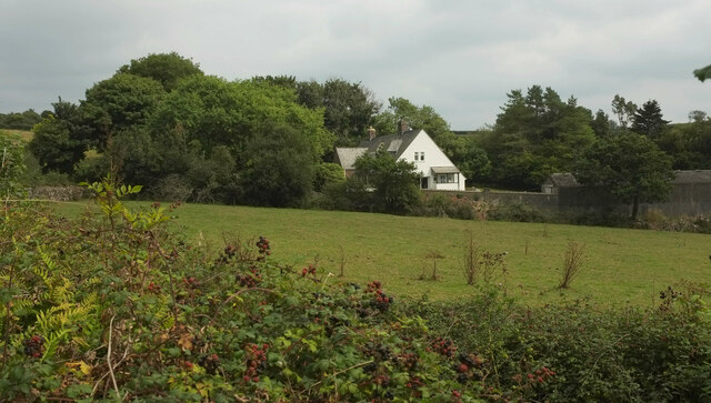
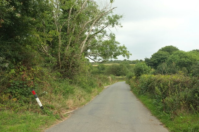
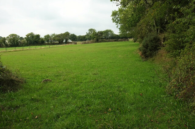
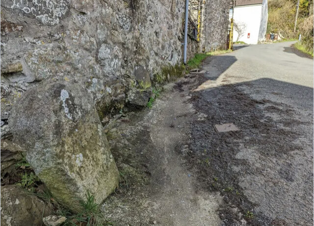
South Brent Images

Images are sourced within 2km of 50.446159/-3.854548 or Grid Reference SX6862. Thanks to Geograph Open Source API. All images are credited.

Brent Hill House From the lane between Downstow and Gingaford Cross.
Brent Hill House
From the lane between Downstow and Gingaford Cross.
Lane from Downstow to Gingaford Cross The stretch from which <a href="https://www.geograph.org.uk/photo/7270873">SX6962 : Brent Hill House</a> was taken.
Lane from Downstow to Gingaford Cross
The stretch from which SX6962 : Brent Hill House was taken.
Field, Downstow Looking left from <a href="https://www.geograph.org.uk/photo/7275064">SX6962 : Lane from Downstow to Gingaford Cross</a>. The farm buildings on the left are at Lower Downstow.
Field, Downstow
Looking left from SX6962 : Lane from Downstow to Gingaford Cross. The farm buildings on the left are at Lower Downstow.
Old Milestone in Aish village, South Brent Carved stone post by the UC road, in parish of South Brent (South Hams District), Aish, centre of village, by "Long Barn", opposite "Treeby", 15m South of telephone/post box, on grass verge by gate to Long Barn, on South West side of road. Small granite tombstone, erected by the parish in the 19th century.

Inscription reads:-
8
MILES
FROM
TOTNES

Milestone Society National ID: DV_TNAI08
Old Milestone in Aish village, South Brent
Carved stone post by the UC road, in parish of South Brent (South Hams District), Aish, centre of village, by "Long Barn", opposite "Treeby", 15m South of telephone/post box, on grass verge by gate to Long Barn, on South West side of road. Small granite tombstone, erected by the parish in the 19th century. Inscription reads:- 8 MILES FROM TOTNES Milestone Society National ID: DV_TNAI08
Pasture near Downstow
River Avon upstream of Shipley Bridge
Wall by the ford at Shipley Bridge There isn't much water about today and the ford isn't over the road. The fields here are the last before 
the unfenced moorland begins.
Wall by the ford at Shipley Bridge
There isn't much water about today and the ford isn't over the road. The fields here are the last before the unfenced moorland begins.
Marshy patch at Shipley Bridge Right on the edge of Dartmoor proper here. Facing this way it's green fields and woods but just behind me are the gorse and bracken covered slopes of the unfenced moorland.
Marshy patch at Shipley Bridge
Right on the edge of Dartmoor proper here. Facing this way it's green fields and woods but just behind me are the gorse and bracken covered slopes of the unfenced moorland.
Towards Brent Moor The west side of the Avon Valley towards the higher ground of Brent Moor.
Towards Brent Moor
The west side of the Avon Valley towards the higher ground of Brent Moor.
Ruins of Brent Moor House The house was demolished in 1968. This is all that remains.
Ruins of Brent Moor House
The house was demolished in 1968. This is all that remains.
South Brent: above Lydia Bridge The Avon in full flow
South Brent: above Lydia Bridge
The Avon in full flow
River Avon, Shipley Bridge
River Avon, Near Shipley Bridge
Gauging Station, River Avon
Old Milestone in Aish village, South Brent Carved stone post by the UC road, in parish of South Brent (South Hams District), Aish, centre of village, by "Long Barn", opposite "Treeby", 15m South of telephone/post box, on grass verge by gate to Long Barn, on South West side of road. Small granite tombstone, erected by the parish in the 19th century. 

Inscription reads:-
8
MILES
FROM
TOTNES   

Milestone Society National ID: DV_TNAI08
Old Milestone in Aish village, South Brent
Carved stone post by the UC road, in parish of South Brent (South Hams District), Aish, centre of village, by "Long Barn", opposite "Treeby", 15m South of telephone/post box, on grass verge by gate to Long Barn, on South West side of road. Small granite tombstone, erected by the parish in the 19th century. Inscription reads:- 8 MILES FROM TOTNES Milestone Society National ID: DV_TNAI08
River Avon Looking upstream, below Black Brake.
River Avon
Looking upstream, below Black Brake.
River Avon Upstream from Shipley Bridge.
River Avon
Upstream from Shipley Bridge.
Black Tor prehistoric stone row A double prehistoric stone row measuring 56m long, including at least 22 small-sized stones. The row is orientated north west to south east and there is a cairn at the upper northern western end. <span class="nowrap"><a title="https://stonerows.wordpress.com/gazetteer/region/dartmoor/black-tor-avon-stone-row/" rel="nofollow ugc noopener" href="https://stonerows.wordpress.com/gazetteer/region/dartmoor/black-tor-avon-stone-row/">Link</a><img style="margin-left:2px;" alt="External link" title="External link - shift click to open in new window" src="https://s1.geograph.org.uk/img/external.png" width="10" height="10"/></span>
Black Tor prehistoric stone row
A double prehistoric stone row measuring 56m long, including at least 22 small-sized stones. The row is orientated north west to south east and there is a cairn at the upper northern western end. LinkExternal link
Show me another place!

South Brent is located at Grid Ref: SX6862 (Lat: 50.446159, Lng: -3.854548)

Administrative County: Devon

District: South Hams

Police Authority: Devon & Cornwall

What 3 Words

///solves.ballooned.slams. Near South Brent, Devon

Related Wikis

Lutton, South Brent

Lutton is a small farming hamlet on the outskirts of South Brent, Devon, England. It is a hillside community on the side of Brent Hill. It is only a small...

Aish, South Brent

Aish is a relatively small hamlet in the English county of Devon. It is near the large village of South Brent. This Aish is not to be confused with the...

Badworthy

Badworthy is a village in Devon, England.

Brent Hill

Brent Hill is the site of an Iron Age hill fort situated close to South Brent in Devon, England. The fort occupies the top of Brent Hill at approx 311...

Nearby Amenities

Located within 500m of 50.446159,-3.854548
Barrier: cattle_grid
Lat/Long: 50.4499645/-3.8579497
Didworthy
Place: village
Lat/Long: 50.4447113/-3.8519685
Ford: yes
Lat/Long: 50.4500223/-3.8580426
Lower Badworthy
Place: locality
Lat/Long: 50.4421704/-3.8578034
Generator Method: photovoltaic
Generator Output Electricity: yes
Generator Source: solar
Generator Type: solar_photovoltaic_panel
Location: roof
Power: generator
Lat/Long: 50.4451281/-3.8537966
Generator Method: photovoltaic
Generator Output Electricity: yes
Generator Source: solar
Generator Type: solar_photovoltaic_panel
Location: roof
Power: generator
Lat/Long: 50.4454757/-3.8510084
Generator Method: photovoltaic
Generator Output Electricity: yes
Generator Source: solar
Generator Type: solar_photovoltaic_panel
Location: roof
Power: generator
Lat/Long: 50.4444764/-3.8511184
Generator Method: photovoltaic
Generator Output Electricity: yes
Generator Source: solar
Generator Type: solar_photovoltaic_panel
Location: roof
Power: generator
Lat/Long: 50.4433781/-3.8515636
Post Box
Brand: Royal Mail
Brand Wikidata: Q638098
Brand Wikipedia: en:Royal Mail
Collection Times: Mo-Fr 09:00; Sa 07:00; Su off
Drive Through: no
Operator: Royal Mail
Operator Wikidata: Q638098
Post Box Mounting: stone_wall
Post Box Type: wall
Ref: TQ10 55D
Royal Cypher: EVIIR
Royal Cypher Wikidata: Q33102195
Source: survey;streetlevel imagery;aerial imagery
Lat/Long: 50.4437156/-3.8566924
The data included in this document is from www.openstreetmap.org. The data is made available under ODbL.

Have you been to South Brent?

Leave your review of South Brent below (or comments, questions and feedback).