Bryn Eglwys

Settlement in Caernarfonshire

Wales

Bryn Eglwys

Cen llwyd / Grey lichen
Cen llwyd / Grey lichen Credit: Ceri Thomas

Bryn Eglwys is a small village located in the historic county of Caernarfonshire, Wales. Situated in the beautiful Snowdonia National Park, it offers breathtaking views of the surrounding mountainous landscape. The village is characterized by its rural charm and tranquility, attracting visitors seeking a peaceful retreat in nature.

The name "Bryn Eglwys" translates to "Church Hill" in Welsh, indicating the presence of a church in the area. St. Mary's Church, dating back to the 12th century, is a notable landmark in the village, showcasing architectural elements from different periods.

The village is surrounded by stunning natural attractions, making it an ideal destination for outdoor enthusiasts. The nearby Nant Gwynant valley offers picturesque walking trails, with opportunities to spot native wildlife and enjoy the serenity of the countryside. Additionally, the village is a gateway to Mount Snowdon, the highest peak in Wales, which attracts hikers and climbers from all over the world.

Despite its small size, Bryn Eglwys offers essential amenities to its residents and visitors. There is a local pub serving traditional Welsh cuisine and a range of local ales, providing a cozy atmosphere for socializing. The village also hosts an annual summer fair, showcasing local crafts, food, and entertainment, attracting people from neighboring communities.

Bryn Eglwys is a hidden gem nestled within the stunning Welsh countryside, offering a unique blend of natural beauty, historical charm, and a close-knit community. It provides an idyllic retreat for those seeking a peaceful and unforgettable experience in Caernarfonshire.

If you have any feedback on the listing, please let us know in the comments section below.
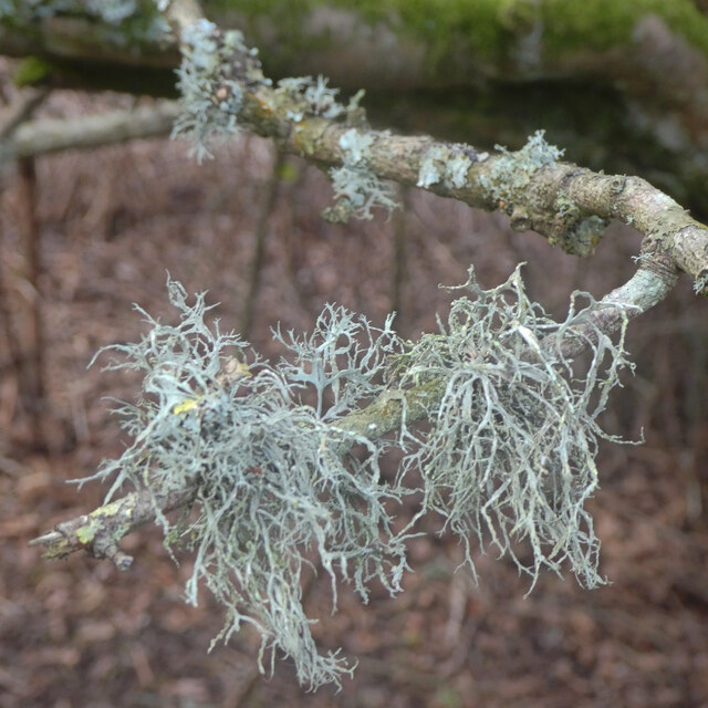
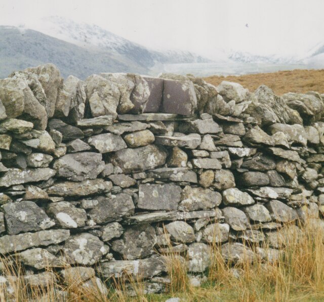
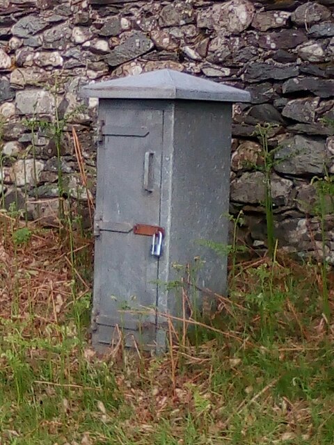
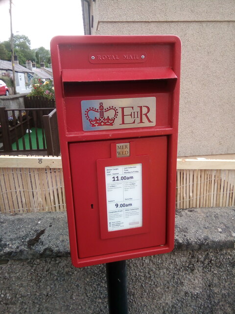
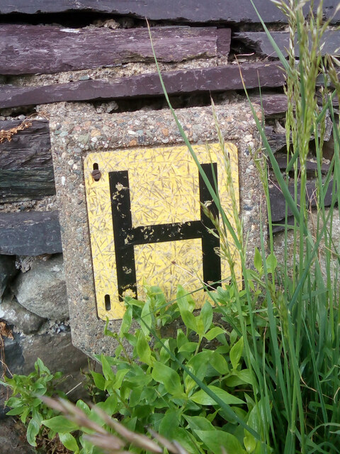
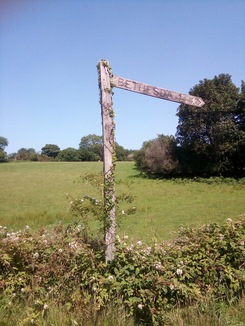
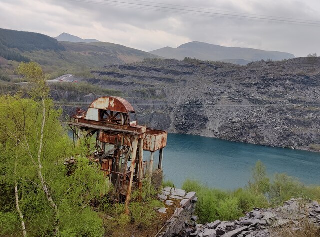
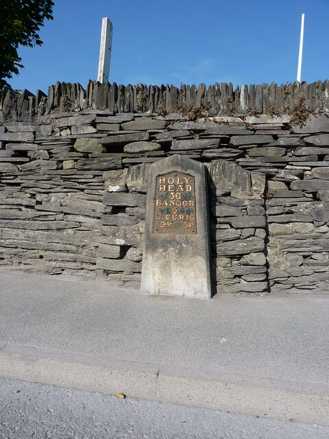
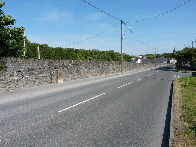
Bryn Eglwys Images

Images are sourced within 2km of 53.175206/-4.082564 or Grid Reference SH6066. Thanks to Geograph Open Source API. All images are credited.

Cen llwyd / Grey lichen
Wall stile near Bwlch y Mawn The wall of the Marchlyn Mawr reservoir is visible in the background.
Wall stile near Bwlch y Mawn
The wall of the Marchlyn Mawr reservoir is visible in the background.
Electrical cabinet on Bangor Road, Bethesda
Elizabeth II post box on Braichmelyn, Bethesda LL57 21
Elizabeth II post box on Braichmelyn, Bethesda
LL57 21
Hydrant sign on Cefnfaes Road, Bethesda
Sluice valve marker at the junction of Station Road and Bangor Road, Bethesda
Damaged sluice valve marker on Bangor Road, Bethesda
Sluice valve marker on Bangor Road, Bethesda
Wooden fingerpost, Sling
Flooded Penrhyn Slate Quarry Penrhyn Quarry is home to Zip World which has the world's fastest and Europe's longest zip line. Velocity 2 has four parallel lines that span 1.5 kilometres over Penrhyn Quarry lake, it is possible to reach speeds of over 100 mph.
Flooded Penrhyn Slate Quarry
Penrhyn Quarry is home to Zip World which has the world's fastest and Europe's longest zip line. Velocity 2 has four parallel lines that span 1.5 kilometres over Penrhyn Quarry lake, it is possible to reach speeds of over 100 mph.
Benchmark on Llwyn Bleddyn Road, Rachub For more details see: <span class="nowrap"><a title="https://www.bench-marks.org.uk/bm29697" rel="nofollow ugc noopener" href="https://www.bench-marks.org.uk/bm29697">Link</a><img style="margin-left:2px;" alt="External link" title="External link - shift click to open in new window" src="https://s1.geograph.org.uk/img/external.png" width="10" height="10"/></span>
Benchmark on Llwyn Bleddyn Road, Rachub
For more details see: LinkExternal link
Benchmark on boulder, Mynydd Llandegai For more details see: <span class="nowrap"><a title="https://www.bench-marks.org.uk/bm114242" rel="nofollow ugc noopener" href="https://www.bench-marks.org.uk/bm114242">Link</a><img style="margin-left:2px;" alt="External link" title="External link - shift click to open in new window" src="https://s1.geograph.org.uk/img/external.png" width="10" height="10"/></span>
Benchmark on boulder, Mynydd Llandegai
For more details see: LinkExternal link
Give way 100 yards sign, Tregarth
Stop sign at the junction of Coetmor New Road and Ffordd Bangor, Bethesda
Stop sign at the junction of Allt Bryn Eglwys and the B4409, Tanysgafell
Telford milestone by Bethesda football ground Located on the west side of the A5 coaching route through Bethesda, and showing Holyhead 30 miles, Bangor 5 miles and Capel Curig 9 miles & 3 furlongs. The stone was Grade II listed by Cadw in 1997 <span class="nowrap"><a title="https://britishlistedbuildings.co.uk/300018379-milestone-by-bethesda-football-club-bethesda" rel="nofollow ugc noopener" href="https://britishlistedbuildings.co.uk/300018379-milestone-by-bethesda-football-club-bethesda">Link</a><img style="margin-left:2px;" alt="External link" title="External link - shift click to open in new window" src="https://s1.geograph.org.uk/img/external.png" width="10" height="10"/></span>
Telford milestone by Bethesda football ground
Located on the west side of the A5 coaching route through Bethesda, and showing Holyhead 30 miles, Bangor 5 miles and Capel Curig 9 miles & 3 furlongs. The stone was Grade II listed by Cadw in 1997 LinkExternal link
OS benchmark - Bethesda, milestone by football ground An OS benchmark cut into the front face of <a href="https://www.geograph.org.uk/photo/7509963">SH6266 : Telford milestone by Bethesda football ground</a>, and last recorded by the OS in 1955 at 147.087m above Ordnance Datum Newlyn.
OS benchmark - Bethesda, milestone by football ground
An OS benchmark cut into the front face of SH6266 : Telford milestone by Bethesda football ground, and last recorded by the OS in 1955 at 147.087m above Ordnance Datum Newlyn.
A5 trunk route through Bethesda
Show me another place!

Bryn Eglwys is located at Grid Ref: SH6066 (Lat: 53.175206, Lng: -4.082564)

Unitary Authority: Gwynedd

Police Authority: North Wales

Also known as: Bryn-Eglwys

What 3 Words

///manly.barefoot.poker. Near Tregarth, Gwynedd

Related Wikis

Felin Fawr Slate Works

Felin Fawr Works is a former slate works to Penrhyn Quarry Railway in Bethesda, Wales. It dates back to 1803; This is when the first mill was supposedly...

Mynydd Llandygai

Mynydd Llandygái (also spelt Mynydd Llandegai, [ˌmənɨðˌɬandəˈɡai] ; from Welsh mynydd "mountain", Llandygai "Church of St Tegai") is a small, partly forested...

Bethesda railway station

Bethesda railway station was a station in Bethesda, Gwynedd, Wales. == History == The station was opened by the London and North Western Railway on 1 July...

Penrhyn quarry

The Penrhyn quarry is a slate quarry located near Bethesda, North Wales. At the end of the nineteenth century it was the world's largest slate quarry;...

Nearby Amenities

Located within 500m of 53.175206,-4.082564
Power: pole
Lat/Long: 53.1769029/-4.0781318
Power: pole
Lat/Long: 53.1767074/-4.0823008
Power: pole
Lat/Long: 53.177353/-4.0785798
Power: pole
Lat/Long: 53.1766078/-4.0810026
Power: pole
Lat/Long: 53.1770322/-4.0828694
Power: pole
Lat/Long: 53.1764599/-4.078873
Power: pole
Lat/Long: 53.1746127/-4.0757884
Power: pole
Lat/Long: 53.1764116/-4.0776177
Power: pole
Lat/Long: 53.1785593/-4.0815766
Power: pole
Lat/Long: 53.1751908/-4.0763723
Power: pole
Lat/Long: 53.178495/-4.0853478
Power: pole
Lat/Long: 53.1793213/-4.0837224
Power: pole
Lat/Long: 53.178233/-4.0806164
Power: pole
Lat/Long: 53.1757294/-4.0769275
Power: pole
Lat/Long: 53.1774116/-4.0835185
Power: pole
Lat/Long: 53.1777459/-4.0792538
Power: pole
Lat/Long: 53.1788722/-4.0824717
Power: pole
Lat/Long: 53.1779111/-4.0843758
Power: pole
Lat/Long: 53.176521/-4.0798734
Power: pole
Lat/Long: 53.176275/-4.0780898
Barrier: kissing_gate
Bicycle: no
Foot: yes
Horse: no
Material: metal
Motor Vehicle: no
Wheelchair: no
Lat/Long: 53.1735473/-4.0784494
Access: no
Barrier: kissing_gate
Foot: yes
Lat/Long: 53.1760555/-4.0826446
Natural: spring
Lat/Long: 53.1786826/-4.0858554
Direction: SE
Generator Method: photovoltaic
Generator Output Electricity: yes
Generator Solar Modules: 16
Generator Source: solar
Generator Type: solar_photovoltaic_panel
Location: roof
Power: generator
Lat/Long: 53.1750484/-4.0837182
Direction: 215
Generator Method: photovoltaic
Generator Output Electricity: yes
Generator Solar Modules: 16
Generator Source: solar
Generator Type: solar_photovoltaic_panel
Location: roof
Power: generator
Lat/Long: 53.1772548/-4.0768678
The data included in this document is from www.openstreetmap.org. The data is made available under ODbL.

Have you been to Bryn Eglwys?

Leave your review of Bryn Eglwys below (or comments, questions and feedback).