Bryn-Eden
Settlement in Merionethshire
Wales
Bryn-Eden

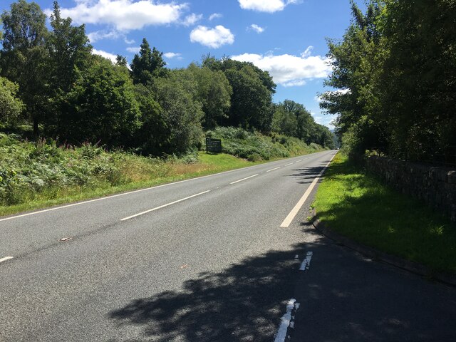
Bryn-Eden is a small village located in the county of Merionethshire, Wales. Situated in the scenic Snowdonia National Park, it offers breathtaking views of the surrounding mountains and valleys. The village is nestled within the rural countryside, providing a peaceful and tranquil atmosphere for residents and visitors alike.
With a population of around 200 people, Bryn-Eden maintains its traditional Welsh charm. The local community is close-knit and friendly, welcoming visitors with warmth and hospitality. The village is primarily residential, with a few small businesses catering to the needs of the locals.
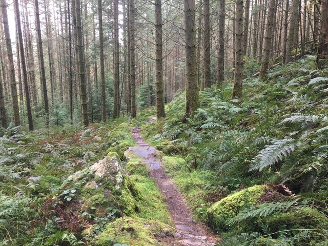
Although Bryn-Eden is a quiet village, it is an ideal base for outdoor enthusiasts. The nearby Snowdonia National Park offers a plethora of hiking trails, mountain biking routes, and opportunities for water sports on the lakes and rivers. The stunning natural landscape also attracts nature lovers and photographers who appreciate its beauty.
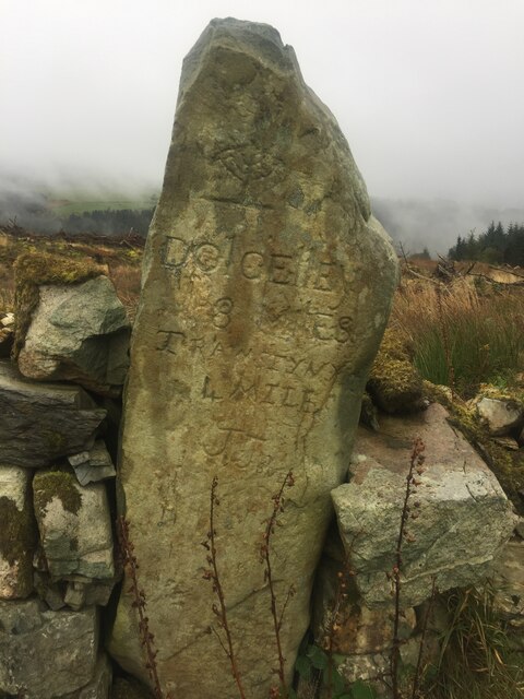
For those interested in history and culture, Bryn-Eden is conveniently located near several historical sites and landmarks. The ruins of ancient castles, such as Harlech Castle and Dolwyddelan Castle, are within a short drive from the village. Additionally, the nearby town of Bala offers a glimpse into the region's rich heritage with its historic buildings and museums.
Bryn-Eden may be a small village, but it offers a peaceful retreat from the hustle and bustle of modern life. Its stunning natural surroundings and proximity to historical sites make it a charming destination for visitors seeking tranquility and a connection with nature.
If you have any feedback on the listing, please let us know in the comments section below.
Bryn-Eden Images
Images are sourced within 2km of 52.845167/-3.910359 or Grid Reference SH7129. Thanks to Geograph Open Source API. All images are credited.


Bryn-Eden is located at Grid Ref: SH7129 (Lat: 52.845167, Lng: -3.910359)
Unitary Authority: Gwynedd
Police Authority: North Wales
Also known as: Bryn Eden
What 3 Words
///labels.processes.iron. Near Bronaber, Gwynedd
Related Wikis

Gwynedd
Gwynedd (Welsh: [ˈɡuɨ̯nɛð]) is a county in the north-west of Wales. It borders Anglesey across the Menai Strait to the north, Conwy, Denbighshire, and...

Harlech Dome
The Harlech Dome is a geological dome in southern Snowdonia in north Wales. It extends approximately from Blaenau Ffestiniog in the north to Tywyn in the...

Coed-y-Brenin
Coed y Brenin (Welsh for King's Forest) is a forest in the Snowdonia National Park, North Wales near Dolgellau at grid reference SH7127. It is popular...
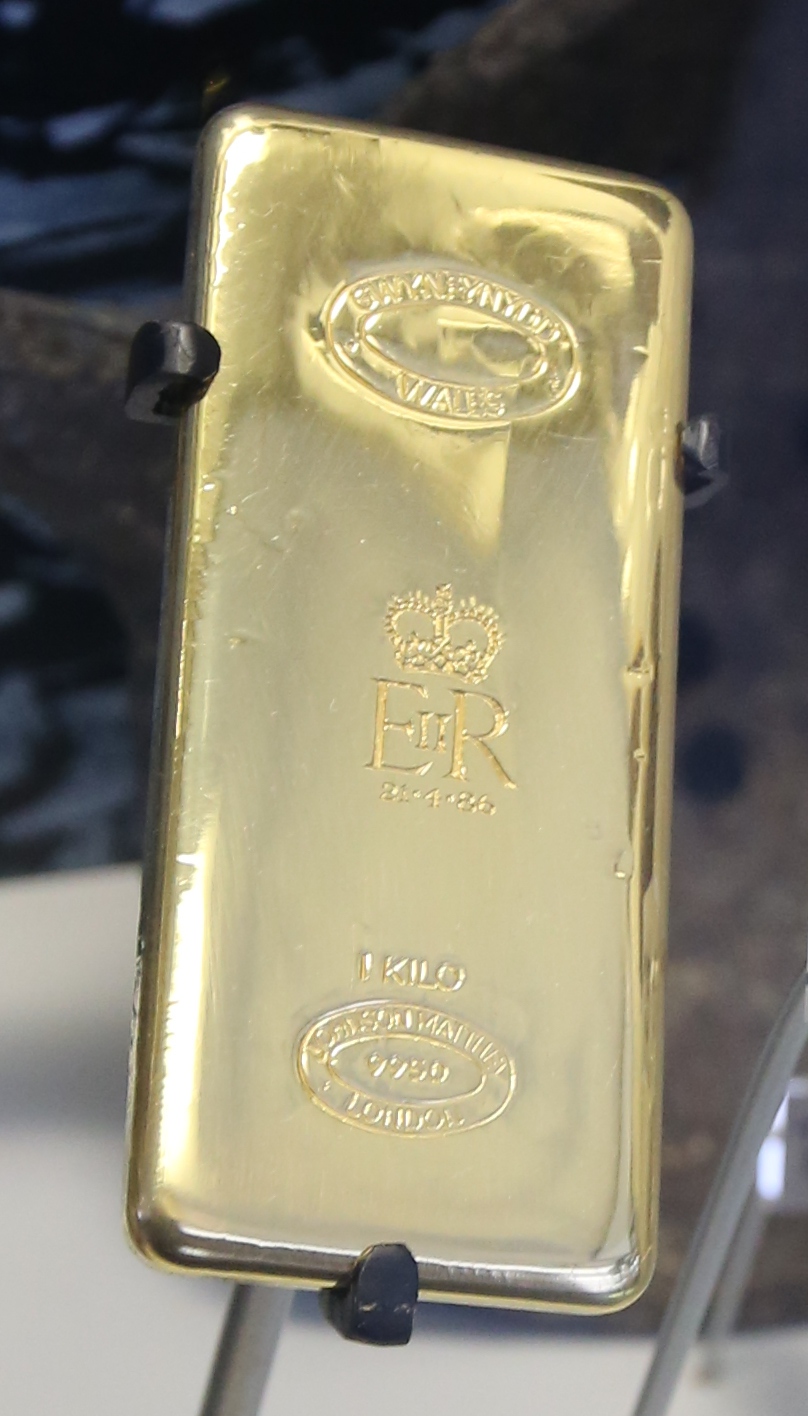
Gwynfynydd Gold Mine
Gwynfynydd Gold Mine is near Ganllwyd, Dolgellau, Gwynedd, Wales. The lode, which was discovered in 1860, was worked from 1884. It has produced more than...

Pistyll Cain
Pistyll Cain, also written as Pistill Cain and Pistill Y Caen, is a renowned waterfall in Meirionnydd (Sir Feirionnydd) in north Wales. It lies north-east...

Bronaber
Bronaber is a village in Gwynedd, Wales, adjacent to the A470 north of Dolgellau and in Trawsfynydd community. == General information == During the Second...

Dwyfor Meirionnydd (Senedd constituency)
Dwyfor Meirionnydd is a constituency of the Senedd, first created for the former Assembly's 2007 election. It elects one Member of the Senedd by the first...

Dwyfor Meirionnydd (UK Parliament constituency)
Dwyfor Meirionnydd is a constituency of the House of Commons of the Parliament of the United Kingdom (at Westminster). The seat was created by the Welsh...
Nearby Amenities
Located within 500m of 52.845167,-3.910359Have you been to Bryn-Eden?
Leave your review of Bryn-Eden below (or comments, questions and feedback).