Bryn Bwbach
Settlement in Merionethshire
Wales
Bryn Bwbach
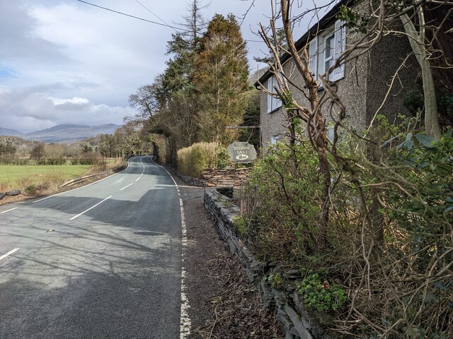
Bryn Bwbach is a small village located in the county of Merionethshire, in northwestern Wales. Situated near the southern border of Snowdonia National Park, the village is nestled amidst the picturesque Welsh countryside, offering breathtaking views of rolling hills and lush green fields.
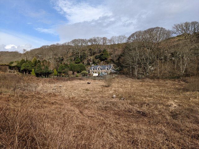
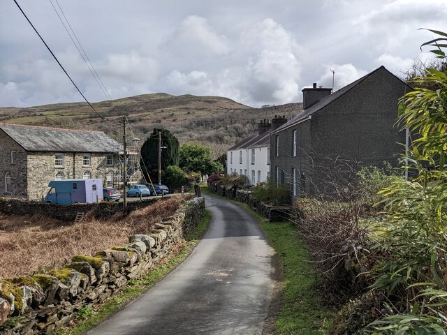
With a population of around 300 residents, Bryn Bwbach maintains a tight-knit community atmosphere. The village is predominantly residential, with traditional stone cottages dotting the landscape. Many of these cottages date back several centuries, adding a sense of history and charm to the area.
While Bryn Bwbach may be small, it offers a few amenities to its residents and visitors. The village is home to a local pub, where visitors can enjoy a pint of Welsh ale and traditional pub fare. Additionally, there is a small convenience store that provides essential groceries and supplies.
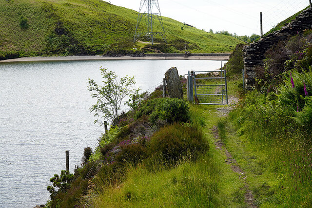
Nature enthusiasts will find plenty to explore in and around Bryn Bwbach. The village is surrounded by scenic walking trails, allowing visitors to immerse themselves in the stunning Welsh countryside. The nearby Snowdonia National Park offers even more opportunities for outdoor activities, including hiking, mountain biking, and wildlife spotting.
Bryn Bwbach's location also provides easy access to other attractions in the region. The market town of Dolgellau is a short drive away, offering a range of shops, cafes, and historical sites. The coast is also within reach, with popular seaside towns such as Barmouth and Harlech located a short distance from the village.
In summary, Bryn Bwbach is a charming and tranquil village in Merionethshire, Wales. With its stunning natural surroundings and close proximity to both Snowdonia National Park and the coast, it is an ideal destination for those seeking a peaceful retreat in the Welsh countryside.
If you have any feedback on the listing, please let us know in the comments section below.
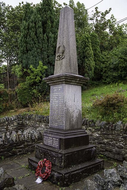
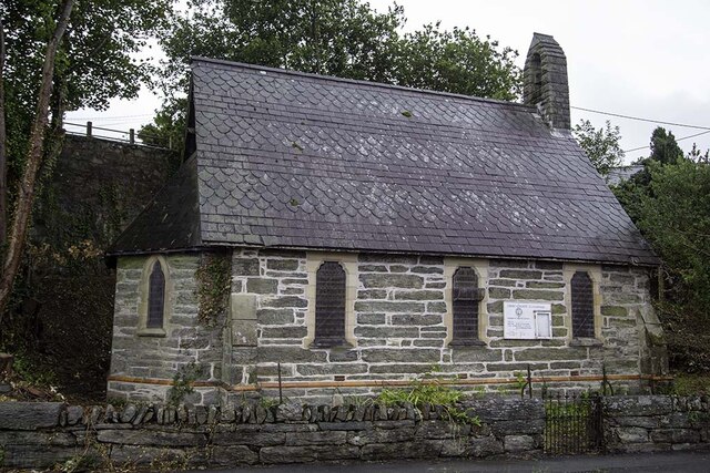
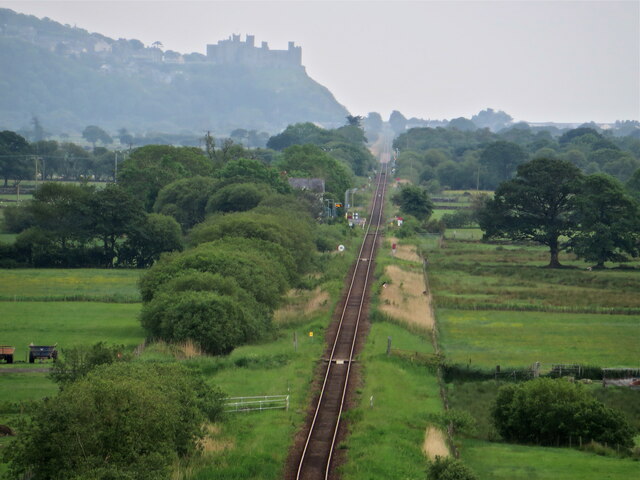
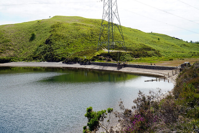
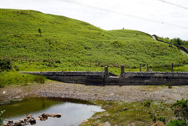
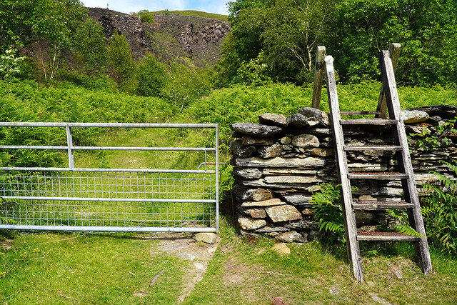
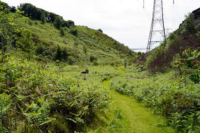
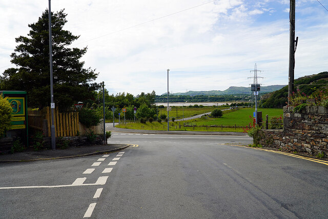
Bryn Bwbach Images
Images are sourced within 2km of 52.913091/-4.04282 or Grid Reference SH6237. Thanks to Geograph Open Source API. All images are credited.


Bryn Bwbach is located at Grid Ref: SH6237 (Lat: 52.913091, Lng: -4.04282)
Unitary Authority: Gwynedd
Police Authority: North Wales
What 3 Words
///marinated.reversed.mere. Near Penrhyndeudraeth, Gwynedd
Nearby Locations
Related Wikis

Llandecwyn
Llandecwyn () is a hamlet near Penrhyndeudraeth in Gwynedd, Wales. The bulk of the population (between 40 and 50 houses) is now located around Cilfor close...

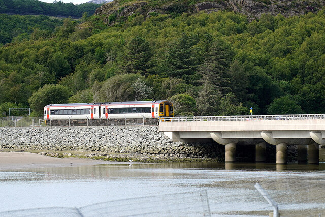
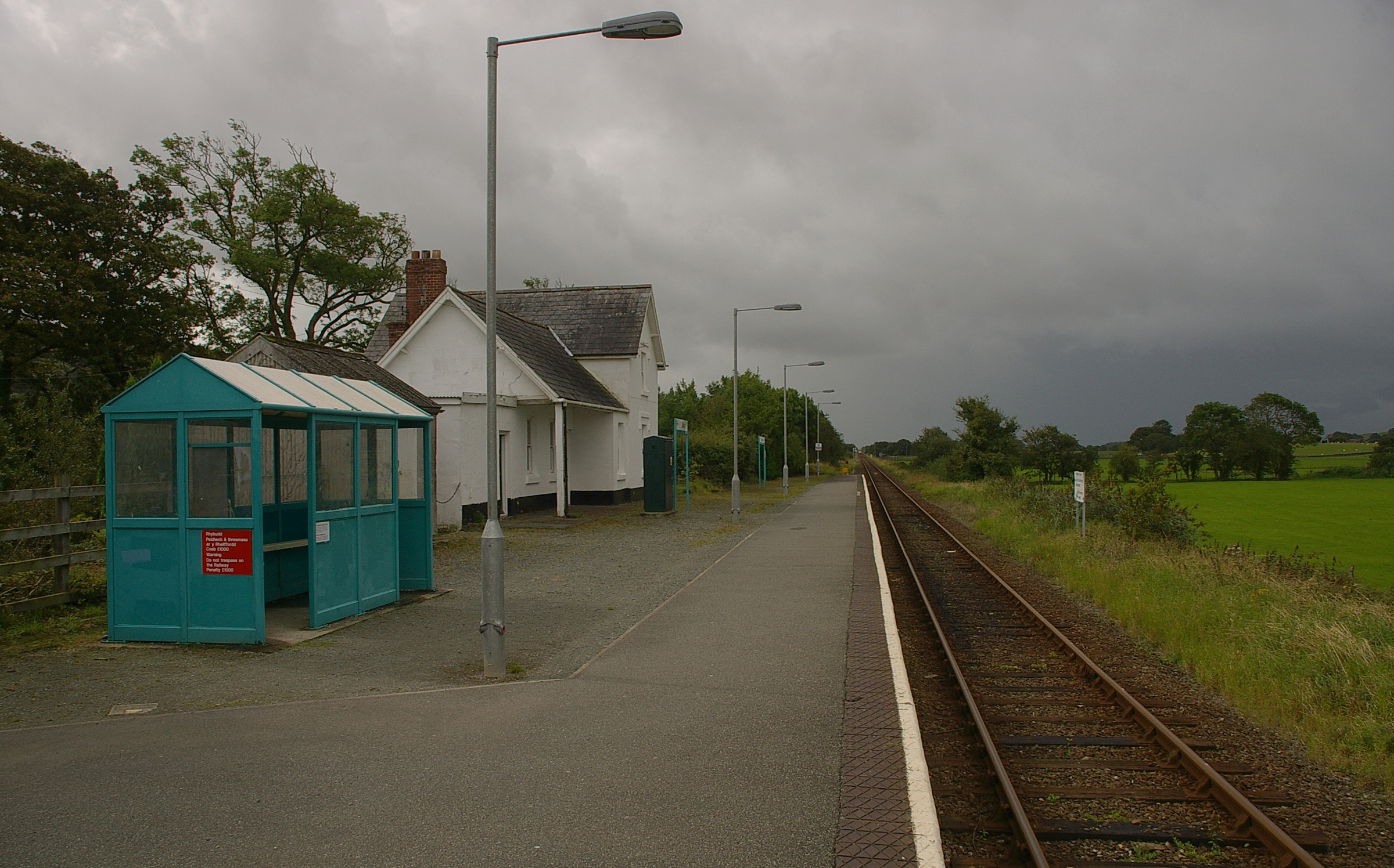
Llandecwyn railway station
Llandecwyn railway station serves the rural area around Llandecwyn on the estuary of the Afon Dwyryd in Gwynedd, Wales. == History == British Rail requested...

Talsarnau
Talsarnau is a village and community in the Ardudwy area of Gwynedd in Wales. Its population was 525 in 2001, and had increased to 550 at the 2011 Census...
Talsarnau railway station
Talsarnau railway station serves the village of Talsarnau on the estuary of the Afon Dwyryd in Gwynedd, Wales. == Facilities == In early 2015, Talsarnau...
Nearby Amenities
Located within 500m of 52.913091,-4.04282Have you been to Bryn Bwbach?
Leave your review of Bryn Bwbach below (or comments, questions and feedback).