Shangton

Civil Parish in Leicestershire Harborough

England

Shangton

St Nicholas Church in Shangton On the southern edge of the small village of Shangton.
St Nicholas Church in Shangton Credit: Mat Fascione

Shangton is a civil parish located in the county of Leicestershire, England. Situated approximately 13 miles southeast of Leicester, it is a small and rural village with a population of around 200 people. Shangton is part of the Harborough district and falls under the civil parish of Tugby and Keythorpe.

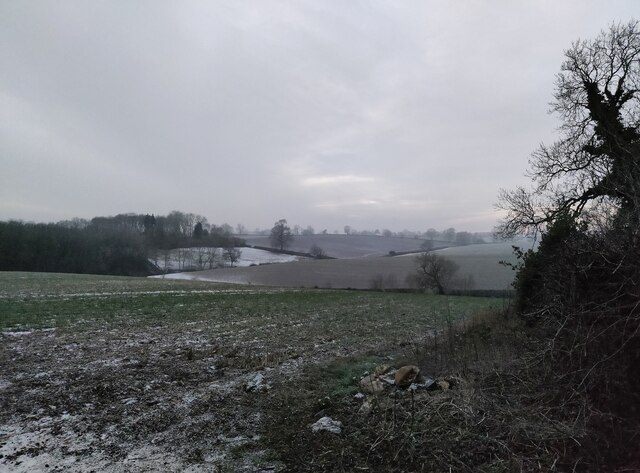
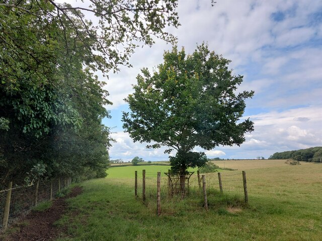
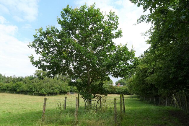
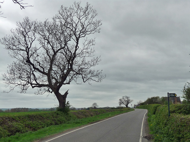
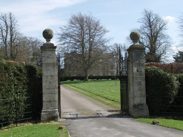
The village is nestled in the beautiful countryside of Leicestershire, surrounded by picturesque landscapes and rolling hills. It is predominantly an agricultural area, with farming playing a significant role in the local economy. The village is characterized by its charming and traditional cottages, many of which date back centuries, adding to its quaint and timeless atmosphere.

Shangton is known for its close-knit community and friendly residents. The village has a small primary school, which serves children from Shangton and the neighboring villages. There are also a few local businesses and services, including a village hall, a church, and a pub, where locals and visitors can gather and socialize.

The area offers ample opportunities for outdoor activities and exploration. The surrounding countryside provides stunning walking trails, perfect for nature enthusiasts and those seeking tranquility. Additionally, Shangton is conveniently located near several larger towns and cities, such as Leicester and Market Harborough, offering access to a wider range of amenities and services.

Overall, Shangton is a charming and idyllic village in Leicestershire, known for its rural beauty, friendly community, and peaceful surroundings.

If you have any feedback on the listing, please let us know in the comments section below.
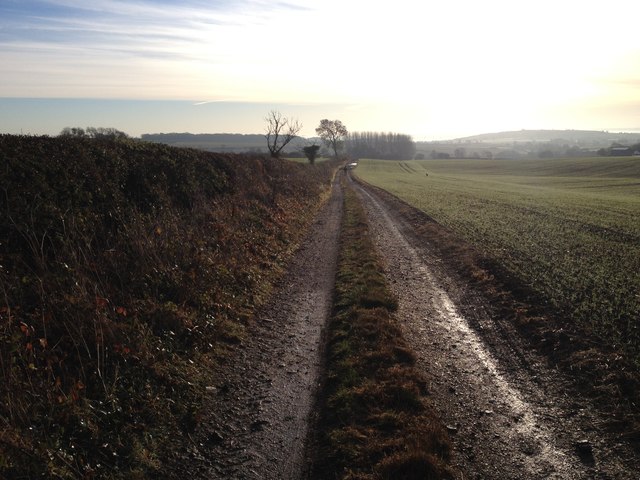
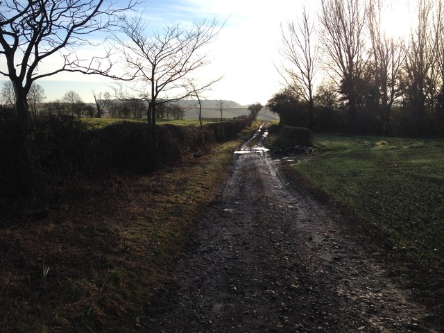
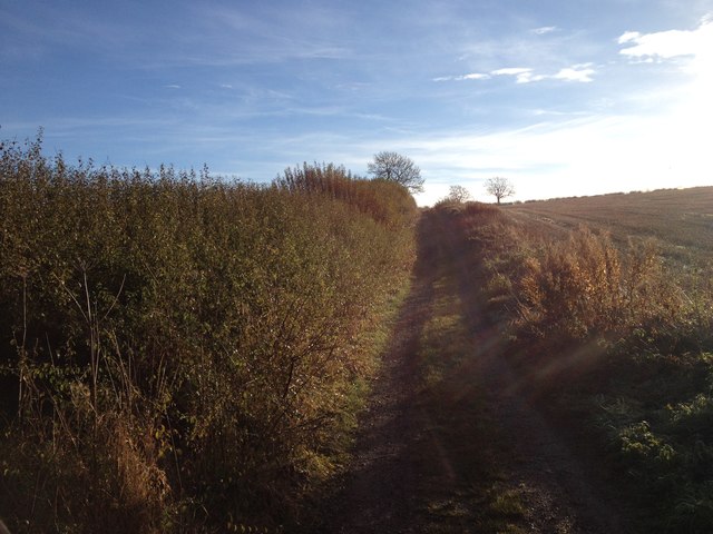
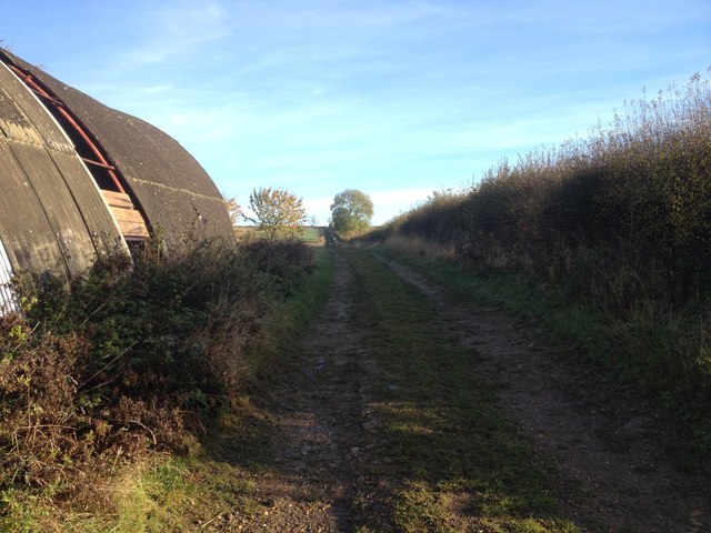
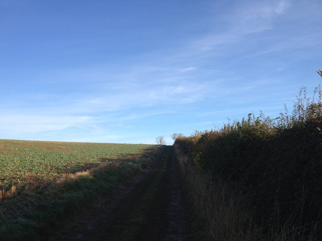
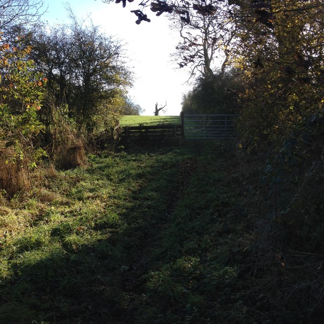
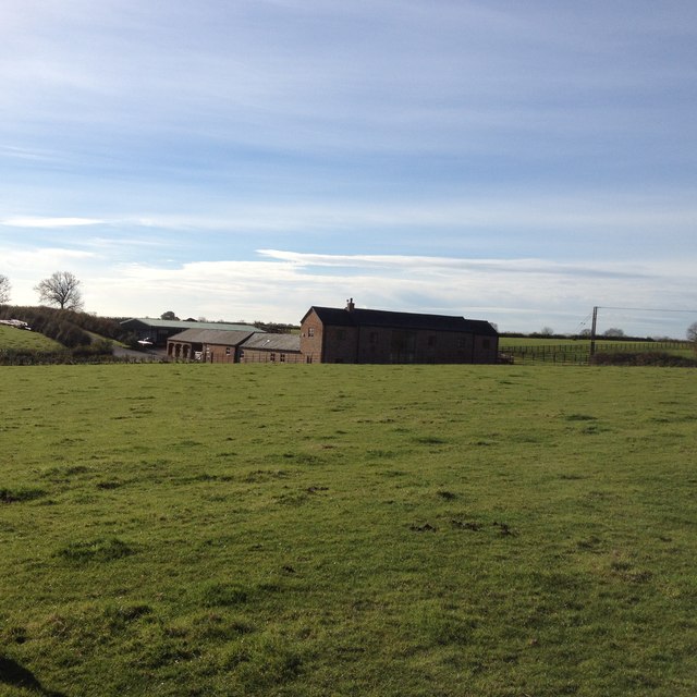
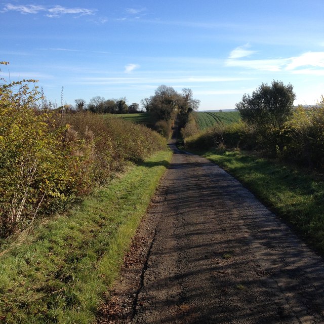
Shangton Images

Images are sourced within 2km of 52.564306/-0.941879 or Grid Reference SP7196. Thanks to Geograph Open Source API. All images are credited.

St Nicholas Church in Shangton On the southern edge of the small village of Shangton.
St Nicholas Church in Shangton
On the southern edge of the small village of Shangton.
Shangton Road near Tur Langton
Frozen farmland north of Shangton
The (new) Gartree Oak In a field next to Gartree Road (Roman road Via Devana), close to the site of the 'Gartre Bush' shown on a 1798 map, marking the Gartree Hundred's medieval moot site (Nichols, 1798). See <span class="nowrap"><a title="https://www.kibworthvillage.co.uk/museum/item/73-the-gartree-hundred-and-the-gartree-oak.html" rel="nofollow ugc noopener" href="https://www.kibworthvillage.co.uk/museum/item/73-the-gartree-hundred-and-the-gartree-oak.html">Link</a><img style="margin-left:2px;" alt="External link" title="External link - shift click to open in new window" src="https://s1.geograph.org.uk/img/external.png" width="10" height="10"/></span> for significance.
Nichols, J., 1798. The History and Antiquities of the County of Leicester Vol. 2, Part 2.
The (new) Gartree Oak
In a field next to Gartree Road (Roman road Via Devana), close to the site of the 'Gartre Bush' shown on a 1798 map, marking the Gartree Hundred's medieval moot site (Nichols, 1798). See LinkExternal link for significance. Nichols, J., 1798. The History and Antiquities of the County of Leicester Vol. 2, Part 2.
The (new) Gartree Oak In a field next to Gartree Road (Roman road Via Devana), close to the site of the 'Gartre Bush' shown on a 1798 map, marking the Gartree Hundred's medieval moot site  (Nichols, 1798). See <span class="nowrap"><a title="https://www.kibworthvillage.co.uk/museum/item/73-the-gartree-hundred-and-the-gartree-oak.html" rel="nofollow ugc noopener" href="https://www.kibworthvillage.co.uk/museum/item/73-the-gartree-hundred-and-the-gartree-oak.html">Link</a><img style="margin-left:2px;" alt="External link" title="External link - shift click to open in new window" src="https://s1.geograph.org.uk/img/external.png" width="10" height="10"/></span> for significance.
Nichols, J., 1798. The History and Antiquities of the County of Leicester Vol. 2, Part 2.
The (new) Gartree Oak
In a field next to Gartree Road (Roman road Via Devana), close to the site of the 'Gartre Bush' shown on a 1798 map, marking the Gartree Hundred's medieval moot site (Nichols, 1798). See LinkExternal link for significance. Nichols, J., 1798. The History and Antiquities of the County of Leicester Vol. 2, Part 2.
Ancient crossroads site? The B6047 crossing Gartree Road Climbing up to a major watershed divide, the B6047 is believed to follow the route of an ancient north-south track through central England; this section known as 'le Ferdgate' in the Middle Ages (Michael Wood, 2010, The Story of England). Here it crosses the route of the Roman road, Via Devana. The two tracks would have given convenient access to the Gartree Hundred's moot site, which is believed to have been just 100 metres off to the left of the crossing <a href="https://www.geograph.org.uk/photo/7552752">SP7197 : The (new) Gartree Oak</a>.
Ancient crossroads site? The B6047 crossing Gartree Road
Climbing up to a major watershed divide, the B6047 is believed to follow the route of an ancient north-south track through central England; this section known as 'le Ferdgate' in the Middle Ages (Michael Wood, 2010, The Story of England). Here it crosses the route of the Roman road, Via Devana. The two tracks would have given convenient access to the Gartree Hundred's moot site, which is believed to have been just 100 metres off to the left of the crossing SP7197 : The (new) Gartree Oak.
Kibworth Road near Illston on the Hill Minor road heading south-west to Kibworth Harcourt through mostly arable land with a few sheep dotted around.
There is a footpath on the right to Illston.
Kibworth Road near Illston on the Hill
Minor road heading south-west to Kibworth Harcourt through mostly arable land with a few sheep dotted around. There is a footpath on the right to Illston.
Gartree Road
Gartree Road
Gartree Road
Gartree Road
Gartree Road
Gartree Road
Bridleway to Noseley Hall
Towards Kibworth Road
Beside Shangton Holt
Holt Farm
Holt Farm
Roman Road towards B6047
Show me another place!

Shangton is located at Grid Ref: SP7196 (Lat: 52.564306, Lng: -0.941879)

Administrative County: Leicestershire

District: Harborough

Police Authority: Leicestershire

What 3 Words

///handicaps.curls.posts. Near Kibworth Harcourt, Leicestershire

Related Wikis

Shangton

Shangton is a parish and village 1 mile (2 km) north of Tur Langton in Leicestershire, England. The parish is part of the Harborough district. According...

Tur Langton

Tur Langton (derived from the Anglo-Saxon word for an enclosure, meaning "long town") is a small village and civil parish in the Harborough district, in...

Carlton Curlieu Hall

Carlton Curlieu Hall is a privately owned 17th-century country house at Carlton Curlieu, Leicestershire. It is the home of the Palmer family and is a Grade...

Stonton Wyville

Stonton Wyville is a small village and civil parish in the Harborough district of Leicestershire, England. According to the 2001 census the parish had...

Nearby Amenities

Located within 500m of 52.564306,-0.941879
Bus Stop
Care Village
Bus: yes
Naptan AtcoCode: 260023902
Naptan Bearing: N
Naptan BusStopType: CUS
Naptan CommonName: Care Village
Naptan Indicator: opp
Naptan Landmark: Junc Care Village
Naptan NaptanCode: leijpajt
Naptan Notes: Non-Hourly - County
Naptan Street: Melton Road
Naptan Verified: no
Public Transport: platform
Source: naptan_import
Lat/Long: 52.5620688/-0.9415446
Bus Stop
Care Village
Bus: yes
Naptan AtcoCode: 260023903
Naptan Bearing: SE
Naptan BusStopType: CUS
Naptan CommonName: Care Village
Naptan Indicator: adj
Naptan Landmark: Junction Care Village
Naptan NaptanCode: leijpajw
Naptan Notes: Non-Hourly - County
Naptan Street: Melton Road
Naptan Verified: no
Public Transport: platform
Source: naptan_import
Lat/Long: 52.5623785/-0.9413989
Bus Stop
Care Village
Bus: yes
Naptan AtcoCode: 260023904
Naptan Bearing: NW
Naptan BusStopType: CUS
Naptan CommonName: Care Village
Naptan Indicator: inside
Naptan Landmark: Care Village
Naptan NaptanCode: leijpama
Naptan Notes: Non-Hourly - County
Naptan Street: Service Road
Naptan Verified: no
Public Transport: platform
Source: naptan_import
Lat/Long: 52.5617199/-0.9387206
The data included in this document is from www.openstreetmap.org. The data is made available under ODbL.

Have you been to Shangton?

Leave your review of Shangton below (or comments, questions and feedback).