Shadwell

Civil Parish in Yorkshire Leeds

England

Shadwell

The Dexter, Slaid Hill, Leeds At the corner of Wike Ridge Lane and Wigton Lane
The Dexter, Slaid Hill, Leeds Credit: Rich Tea

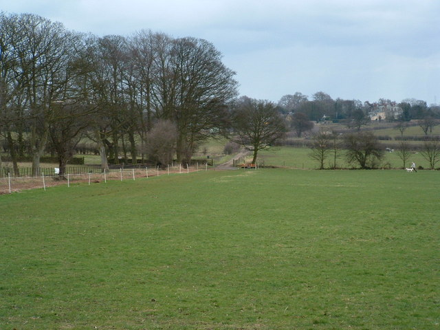
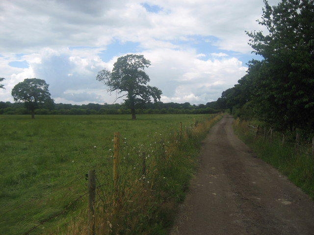
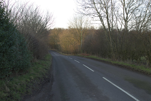
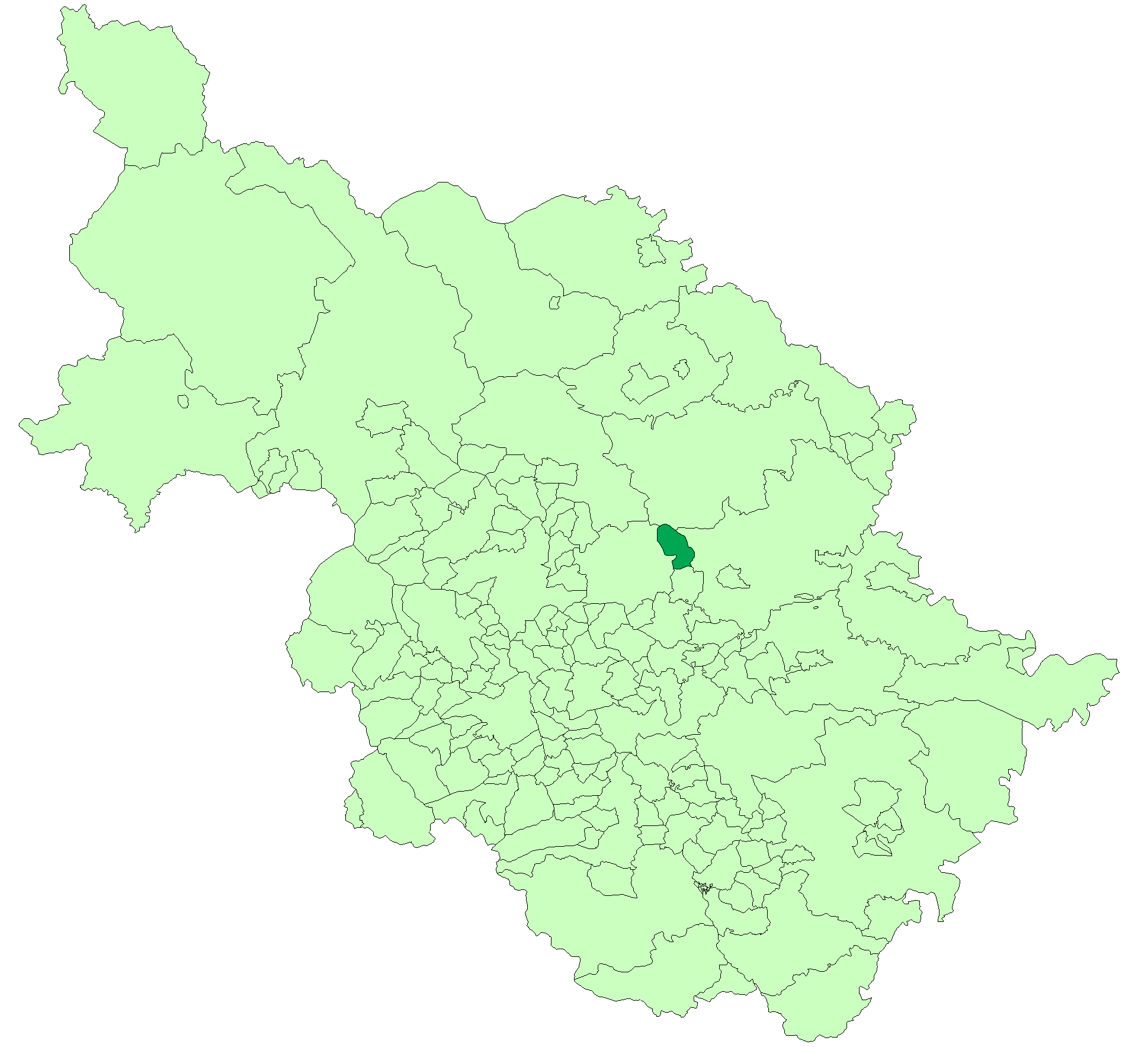
Shadwell is a civil parish located in the county of Yorkshire, England. Situated approximately 6 miles north-east of the city of Leeds, it falls within the metropolitan borough of Leeds. The parish covers an area of around 1.5 square miles and is surrounded by scenic countryside.

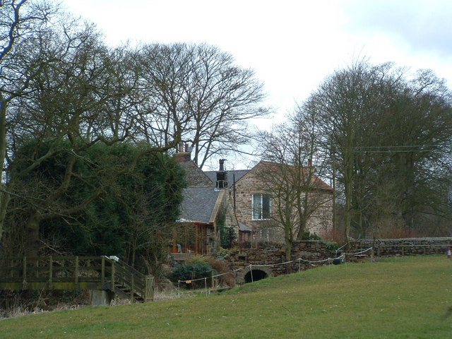
Shadwell is a predominantly residential area with a population of around 3,500 people. The village itself is characterized by a mix of traditional stone-built houses and more modern developments. It maintains a quaint and rural charm, offering a peaceful and picturesque setting for its residents.

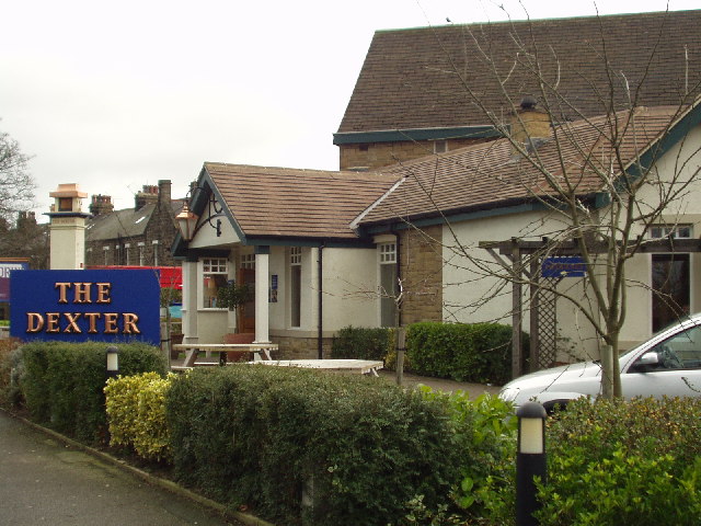
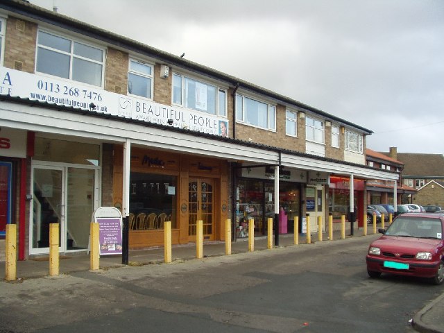
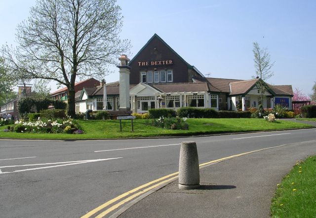
Amenities in Shadwell include a primary school, a village hall, and a local pub, providing a close-knit community atmosphere. The village also benefits from several green spaces, including Shadwell Park and Shadwell Quarry, which offer opportunities for outdoor activities and leisure.

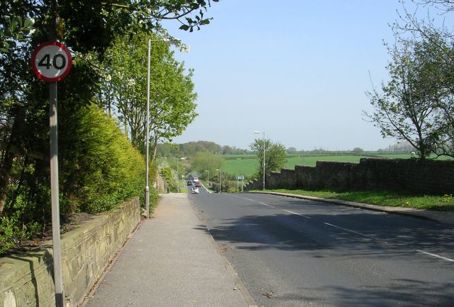
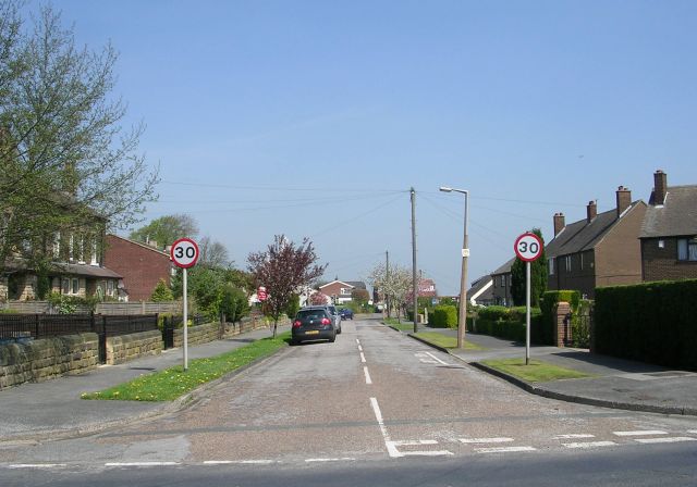
The parish is well-connected to the surrounding areas by road, with easy access to the A64 and A58, providing convenient links to Leeds and other nearby towns and cities. Public transportation options include regular bus services to Leeds city center, making commuting to the city easily accessible.

Shadwell enjoys a rich history, with mentions in the Domesday Book of 1086. It has since evolved into a desirable residential area while retaining its rural character. The village offers a peaceful retreat from the hustle and bustle of nearby urban centers, making it an attractive place to live for those seeking a mix of countryside living with easy access to city amenities.

If you have any feedback on the listing, please let us know in the comments section below.
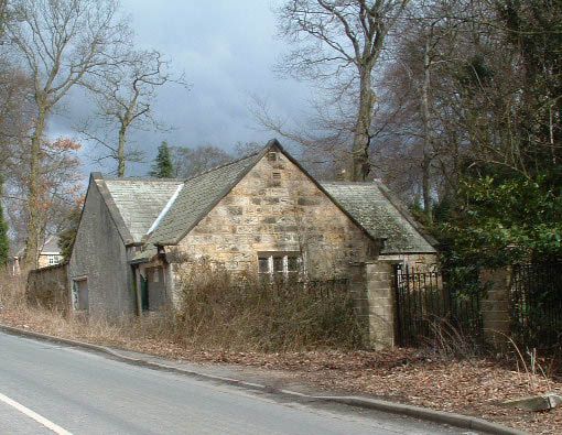
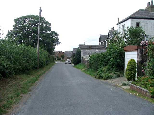
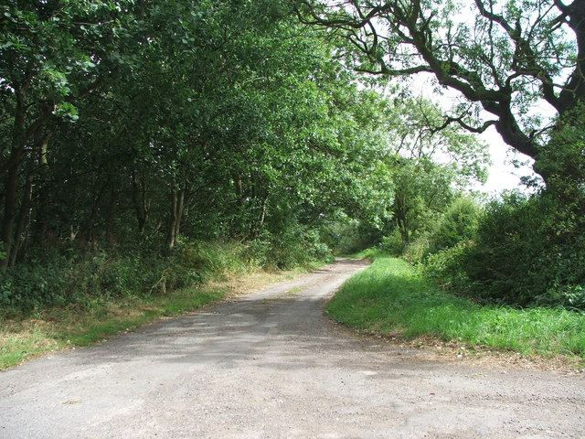
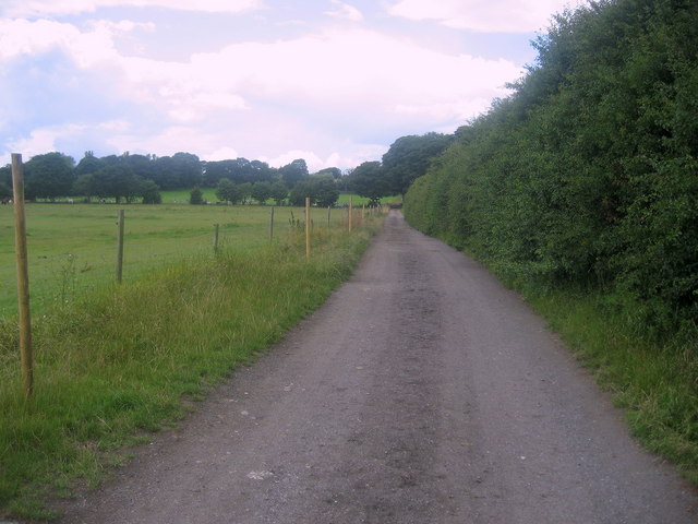
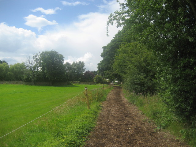
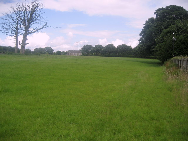
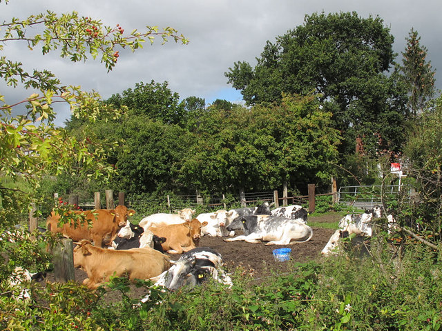
Shadwell Images

Images are sourced within 2km of 53.85159/-1.481123 or Grid Reference SE3439. Thanks to Geograph Open Source API. All images are credited.

The Dexter, Slaid Hill, Leeds At the corner of Wike Ridge Lane and Wigton Lane
The Dexter, Slaid Hill, Leeds
At the corner of Wike Ridge Lane and Wigton Lane
Shops at Wike Ridge Lane, Slaid Hill, Leeds On the west side of the road near the junction with Shadwell Lane.
Shops at Wike Ridge Lane, Slaid Hill, Leeds
On the west side of the road near the junction with Shadwell Lane.
Lower Brandon Farm, Brandon Crescent
Track towards Wood Farm On older OS maps this is shown as a Roman Road.
Track towards Wood Farm
On older OS maps this is shown as a Roman Road.
Redundant gatehouse, Bay Horse Lane An increasingly sorry sight, the "big house" is still in use but entered from another road.
Redundant gatehouse, Bay Horse Lane
An increasingly sorry sight, the "big house" is still in use but entered from another road.
Holywell Lane, Shadwell. North Leeds.
Holywell Lane, Shadwell.
North Leeds.
Brandon Crescent, Wike. North Leeds.
Brandon Crescent, Wike.
North Leeds.
Wike Ridge Lane
Wike Ridge Lane
The Dexter - Wigton Lane
Emville Avenue - Shadwell Lane
Roundhay Park Lane
Roundhay Park Lane
Track towards Bay Horse Lane Well constructed track beside pastures full of horseflesh runs between Wood Farm on the A58 and Bay Horse Lane.
Track towards Bay Horse Lane
Well constructed track beside pastures full of horseflesh runs between Wood Farm on the A58 and Bay Horse Lane.
On the track from Wood Farm Following the track and right of way from Wood Farm on the A58 towards Bay Horse Lane.
On the track from Wood Farm
Following the track and right of way from Wood Farm on the A58 towards Bay Horse Lane.
Track approaching Bay Horse Lane Following the right of way from Wood Farm on the A58 towards Bay Horse Lane.
Track approaching Bay Horse Lane
Following the right of way from Wood Farm on the A58 towards Bay Horse Lane.
Field near Bracken Park Path follows the fence on the right as it negotiates this field near Bracken Park, in Scarcroft.
Field near Bracken Park
Path follows the fence on the right as it negotiates this field near Bracken Park, in Scarcroft.
Wigton Lane, Leeds - an interesting house This house is something of a contrast to its more staid and conventional neighbours. From the external decorations, one surmises that its owner is very much a horse lover - or perhaps owes a lot to horses.
Wigton Lane, Leeds - an interesting house
This house is something of a contrast to its more staid and conventional neighbours. From the external decorations, one surmises that its owner is very much a horse lover - or perhaps owes a lot to horses.
Motley cattle in Shadwell A group of brown and black-and-white cattle in a small field just off the high street.
Motley cattle in Shadwell
A group of brown and black-and-white cattle in a small field just off the high street.
Wike Ridge Lane Viewed from the entrance to Wike Ridge Farm.
Wike Ridge Lane
Viewed from the entrance to Wike Ridge Farm.
Show me another place!

Shadwell is located at Grid Ref: SE3439 (Lat: 53.85159, Lng: -1.481123)

Division: West Riding

Administrative County: West Yorkshire

District: Leeds

Police Authority: West Yorkshire

What 3 Words

///grant.loans.dairy. Near Shadwell, West Yorkshire

Related Wikis

Shadwell, West Yorkshire

Shadwell is a village and civil parish in north-east Leeds, West Yorkshire, England. The village is 6 miles (9.7 km) to the north east of Leeds city centre...
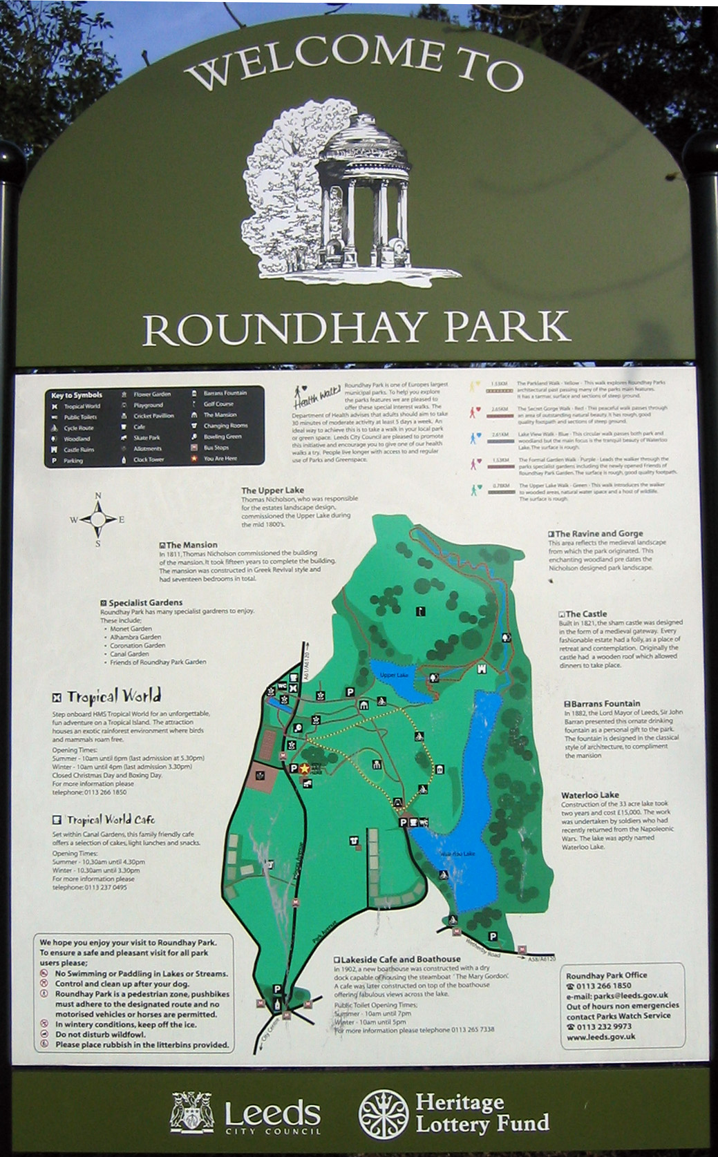
Roundhay Park

Roundhay Park in Leeds, West Yorkshire, England, is one of the biggest city parks in Europe. It covers more than 700 acres (2.8 km2) of parkland, lakes...

Scarcroft

Scarcroft is a village and civil parish 6 miles (10 km) north east of Leeds city centre in the City of Leeds metropolitan borough, West Yorkshire, England...

Tropical World (Leeds)

Tropical World is a butterfly house and animal attraction located in Leeds, West Yorkshire, England. It is a licensed zoo with membership of BIAZA and...

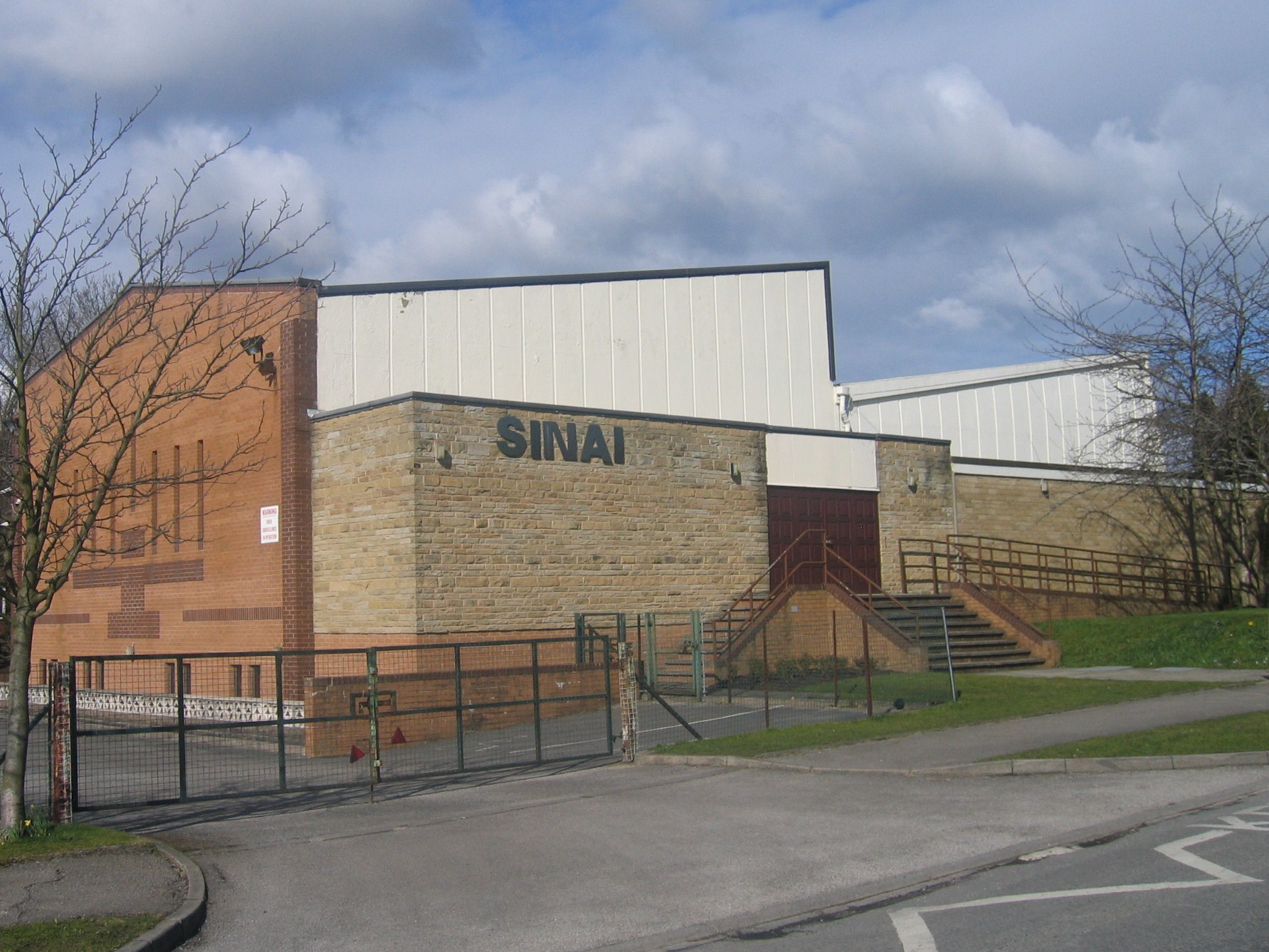
Sinai Synagogue (Leeds)

Sinai Synagogue is a Reform Jewish congregation on Roman Avenue in Roundhay, Leeds, West Yorkshire, England. It was founded in 1944 and is affiliated to...

Leeds Rural District

Leeds was, from 1894 to 1912, a rural district in the administrative county of Yorkshire, West Riding, England. It comprised an area adjacent to, but not...

Leeds North East (UK Parliament constituency)

Leeds North East is a constituency which has been represented in the House of Commons of the UK Parliament since 1997 by Fabian Hamilton of the Labour...

Wike, West Yorkshire

Wike is a hamlet and (as Wyke) a former civil parish, now in the parish of Harewood, north of Leeds, West Yorkshire, England. It is in the City of Leeds...

Nearby Amenities

Located within 500m of 53.85159,-1.481123
Shadwell
Is In: Leeds, West Yorkshire, United Kingdom
Place: village
Wikidata: Q3094886
Wikipedia: en:Shadwell, West Yorkshire
Lat/Long: 53.8543491/-1.4758219
Pub
Red Lion Inn
Addr City: Leeds
Addr Housenumber: 60
Addr Postcode: LS17 8HH
Addr Street: Main Street
Addr Suburb: Shadwell
Fhrs Id: 1548558
Wheelchair: yes
Lat/Long: 53.8545857/-1.4842914
Bus Stop
Shadwell Lane Holywell Lane
Bus: yes
Local Ref: 45010234
Naptan AtcoCode: 450010234
Naptan Bearing: NW
Naptan CommonName: Shadwell Lane Holywell Lane
Naptan Crossing: Holywell Lane
Naptan Indicator: Stop 45010234
Naptan Landmark: The Old Red Lion PH
Naptan PlusbusZoneRef: LEEDS
Naptan ShortCommonName: Holywell Lane
Naptan Street: Shadwell Lane
Naptan Verified: no
Public Transport: platform
Source: naptan_import
Lat/Long: 53.8549736/-1.4850128
Bus Stop
Main Street Manor Court
Bus: yes
Local Ref: 45012635
Naptan AtcoCode: 450012635
Naptan Bearing: E
Naptan CommonName: Main Street Manor Court
Naptan Crossing: Manor Court
Naptan Indicator: Stop 45012635
Naptan Landmark: Shadwell Primary School
Naptan PlusbusZoneRef: LEEDS
Naptan ShortCommonName: Manor Court
Naptan Street: Main Street
Naptan Verified: no
Public Transport: platform
Source: naptan_import
Lat/Long: 53.8521485/-1.4758549
Bus Stop
Main Street Gateland Lane
Bus: yes
Local Ref: 45012681
Naptan AtcoCode: 450012681
Naptan Bearing: W
Naptan CommonName: Main Street Gateland Lane
Naptan Crossing: Gateland Lane
Naptan Indicator: Stop 45012681
Naptan Landmark: Fish Shop
Naptan PlusbusZoneRef: LEEDS
Naptan ShortCommonName: Gateland Lane
Naptan Street: Main Street
Naptan Verified: no
Public Transport: platform
Source: naptan_import
Lat/Long: 53.8536723/-1.4790132
Bus Stop
Main Street Gateland Lane
Bus: yes
Local Ref: 45012682
Naptan AtcoCode: 450012682
Naptan Bearing: E
Naptan CommonName: Main Street Gateland Lane
Naptan Crossing: Gateland Lane
Naptan Indicator: Stop 45012682
Naptan PlusbusZoneRef: LEEDS
Naptan ShortCommonName: Gateland Lane
Naptan Street: Main Street
Naptan Verified: no
Public Transport: platform
Source: naptan_import
Lat/Long: 53.8537158/-1.4786782
Bus Stop
Main Street Manor Court
Bus: yes
Local Ref: 45012684
Naptan AtcoCode: 450012684
Naptan Bearing: N
Naptan CommonName: Main Street Manor Court
Naptan Crossing: Manor Court
Naptan Indicator: Stop 45012684
Naptan PlusbusZoneRef: LEEDS
Naptan ShortCommonName: Manor Court
Naptan Street: Main Street
Naptan Verified: no
Public Transport: platform
Source: naptan_import
Lat/Long: 53.852964/-1.4774016
Bus Stop
Main Street
Bus: yes
Local Ref: 45025407
Naptan AtcoCode: 450025407
Naptan Bearing: E
Naptan CommonName: Main Street
Naptan Indicator: Stop 45025407
Naptan Landmark: Social Club
Naptan PlusbusZoneRef: LEEDS
Naptan ShortCommonName: Shadwell Library
Naptan Street: Main Street
Naptan Verified: no
Public Transport: platform
Source: naptan_import
Lat/Long: 53.8539961/-1.4811527
Bus Stop
Main Street
Bus: yes
Local Ref: 45025466
Naptan AtcoCode: 450025466
Naptan Bearing: W
Naptan CommonName: Main Street
Naptan Indicator: Stop 45025466
Naptan Landmark: Shadwell Social Club
Naptan PlusbusZoneRef: LEEDS
Naptan ShortCommonName: Shadwell Library
Naptan Street: Main Street
Naptan Verified: no
Public Transport: platform
Source: naptan_import
Lat/Long: 53.8539341/-1.4813511
Turning Circle
Lat/Long: 53.8538526/-1.4757492
Turning Circle
Lat/Long: 53.8546777/-1.4781551
Turning Circle
Lat/Long: 53.8548255/-1.4827951
Turning Circle
Lat/Long: 53.8547717/-1.4794316
Fast Food
Village Fish Shop
Addr City: Leeds
Addr Housenumber: 125
Addr Postcode: LS17 8HL
Addr Street: Main Street
Addr Suburb: Shadwell
Cuisine: fish_and_chips
Fhrs Id: 319944
Takeaway: yes
Lat/Long: 53.853839/-1.4790814
Cafe
Hardback Cafe
Addr City: Leeds
Addr Housename: Shadwell Independent Library
Addr Housenumber: 99
Addr Postcode: LS17 8HL
Addr Street: Main Street
Addr Suburb: Shadwell
Fhrs Id: 1211489
Old Name: Shadwell Independent Library Cafe
Lat/Long: 53.8540587/-1.4813726
Post Office
Shadwell Village Store & Post Office
Addr City: Leeds
Addr Housenumber: 53
Addr Postcode: LS17 8HQ
Addr Street: Main Street
Addr Suburb: Shadwell
Fhrs Id: 1576574
Ref Pol Id: 12530
Shop: convenience
Lat/Long: 53.8548543/-1.4842858
Post Box
Brand: Royal Mail
Brand Wikidata: Q638098
Operator: Royal Mail
Operator Wikidata: Q638098
Post Box Type: lamp
Ref: LS17 284
Royal Cypher: EIIR
Royal Cypher Wikidata: Q33102113
Lat/Long: 53.8523652/-1.4773916
Post Box
Operator: Royal Mail
Post Box Type: wall
Ref: LS17 237
Lat/Long: 53.8548222/-1.4843425
Defibrillator
Access: yes
Defibrillator Location: Front external wall of of post office/convenience store, to the left of the entrance
Defibrillator Location En: Front external wall of of post office/convenience store, to the left of the entrance
Emergency: defibrillator
Indoor: no
Opening Hours: 24/7
Ref: WCPAD005
Wheelchair: yes
Lat/Long: 53.8548072/-1.484309
Barrier: stile
Lat/Long: 53.848653/-1.4804184
Barrier: stile
Lat/Long: 53.847196/-1.4801898
Waste Basket
Ref UK Leedscc Bin: 4458
Lat/Long: 53.852325/-1.483019
Waste Basket
Ref UK Leedscc Bin: 4456
Lat/Long: 53.854898/-1.485096
Waste Basket
Ref UK Leedscc Bin: 4457
Lat/Long: 53.854937/-1.484161
Generator Method: photovoltaic
Generator Output Electricity: small_installation
Generator Source: solar
Generator Type: solar_photovoltaic_panel
Location: roof
Power: generator
Lat/Long: 53.853561/-1.4743441
Shelter
Shelter Type: weather_shelter
Lat/Long: 53.8511485/-1.4751492
Generator Method: photovoltaic
Generator Output Electricity: small_installation
Generator Source: solar
Generator Type: solar_photovoltaic_panel
Location: roof
Power: generator
Lat/Long: 53.8514484/-1.476367
Generator Method: photovoltaic
Generator Output Electricity: small_installation
Generator Source: solar
Generator Type: solar_photovoltaic_panel
Location: roof
Power: generator
Lat/Long: 53.8514776/-1.4759955
Generator Method: photovoltaic
Generator Output Electricity: small_installation
Generator Source: solar
Generator Type: solar_photovoltaic_panel
Location: roof
Power: generator
Lat/Long: 53.8514824/-1.4747939
Generator Method: photovoltaic
Generator Output Electricity: small_installation
Generator Source: solar
Generator Type: solar_photovoltaic_panel
Location: roof
Power: generator
Lat/Long: 53.8517403/-1.4747992
Generator Method: photovoltaic
Generator Output Electricity: small_installation
Generator Source: solar
Generator Type: solar_photovoltaic_panel
Location: roof
Power: generator
Lat/Long: 53.8517593/-1.4746007
The data included in this document is from www.openstreetmap.org. The data is made available under ODbL.

Have you been to Shadwell?

Leave your review of Shadwell below (or comments, questions and feedback).