Bryn
Settlement in Montgomeryshire
Wales
Bryn

The requested URL returned error: 429 Too Many Requests
If you have any feedback on the listing, please let us know in the comments section below.
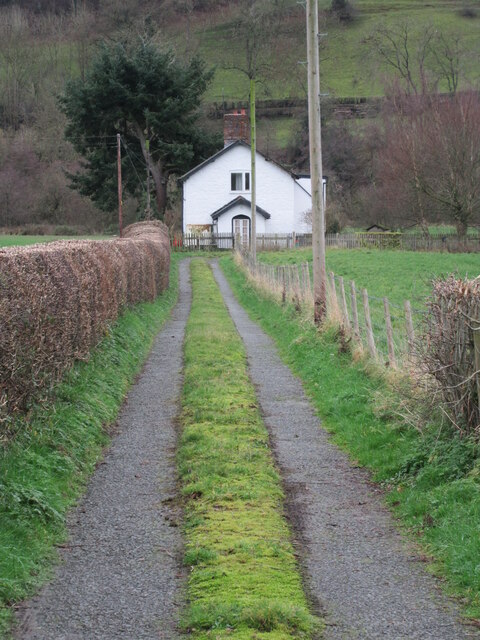
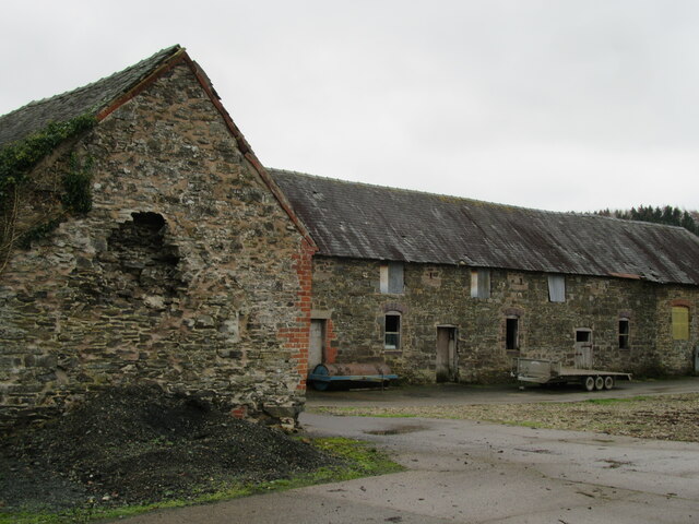
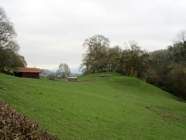
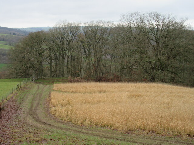
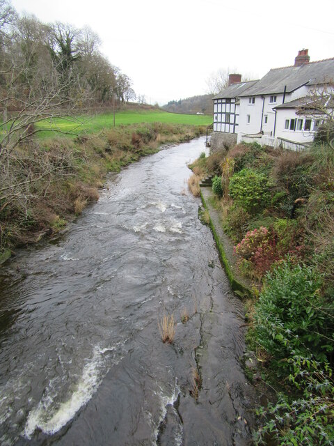
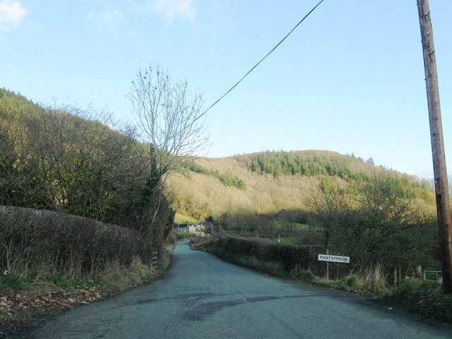
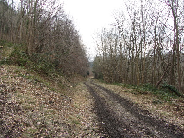
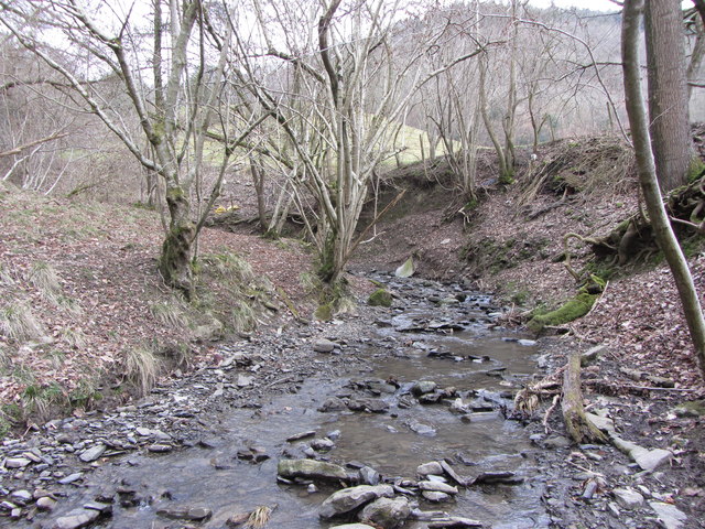
Bryn Images
Images are sourced within 2km of 52.609259/-3.2419218 or Grid Reference SJ1602. Thanks to Geograph Open Source API. All images are credited.


Bryn is located at Grid Ref: SJ1602 (Lat: 52.609259, Lng: -3.2419218)
Unitary Authority: Powys
Police Authority: Dyfed Powys
What 3 Words
///wishing.cyber.duplicate. Near Llanfair Caereinion, Powys
Nearby Locations
Related Wikis
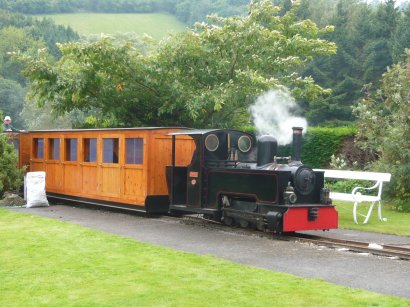
Rhiw Valley Light Railway
The Rhiw Valley Light Railway was a 15 in (381 mm) gauge railway located near to the village of Berriew in Powys, Wales. It closed on 2 October 2022....

Vaynor Park
Vaynor Park is a country house in a landscaped park, standing on high ground to the south-west of Berriew village, in the historic county of Montgomeryshire...

Tŷ Mawr, Castle Caereinion
Tŷ Mawr is a Grade I-listed timber framed house in the township of Trefnant in the historic parish of Castle Caereinion, Montgomeryshire, Wales. Originally...

Stingwern Hill
Stingwern Hill, or ‘the Stingwern’ is a marilyn near Manafon in Mid Wales. Its summit is approximately 358 metres above sea level and has a prominence...
Nearby Amenities
Located within 500m of 52.609259,-3.2419218Have you been to Bryn?
Leave your review of Bryn below (or comments, questions and feedback).