Bryn

Settlement in Caernarfonshire

Wales

Bryn

Layby on the A4244 near to  Glasinfryn The A4244 is a relatively short (6½ miles) rural A-road in north Caernarfonshire. It connects the A5/A55 (near the Llys-y-gwynt junction) with the A4086 at Brynrefail, just outside Llanberis.
Layby on the A4244 near to Glasinfryn Credit: David Dixon

Bryn is a small village located in the county of Caernarfonshire in northwest Wales. Situated near the Menai Strait, it is approximately 3 miles southeast of Caernarfon town, the administrative center of the county. With a population of around 300 residents, Bryn maintains a close-knit community atmosphere.

The village is surrounded by picturesque natural beauty, with the Snowdonia National Park to the south and the Irish Sea to the northwest. This idyllic setting makes Bryn a popular destination for nature enthusiasts and outdoor activities. The nearby mountains and hills provide ample opportunities for hiking, climbing, and exploring the stunning Welsh countryside.

Historically, Bryn was primarily an agricultural community, with farming playing a significant role in the local economy. While agriculture still remains important, the village has also embraced tourism as a source of income. Visitors are drawn to the area for its tranquil charm, rich history, and its proximity to popular attractions such as Caernarfon Castle and the Welsh Highland Railway.

In terms of amenities, Bryn offers limited services to its residents and visitors. There is a small convenience store providing essential groceries, and a local pub serving as a social hub for the community. For more extensive amenities, residents often rely on nearby Caernarfon town.

Overall, Bryn is a peaceful and scenic village nestled in the heart of Caernarfonshire, offering a delightful escape for those seeking a taste of rural Welsh life.

If you have any feedback on the listing, please let us know in the comments section below.
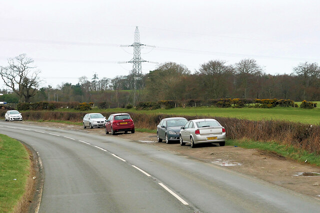
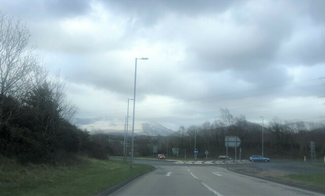
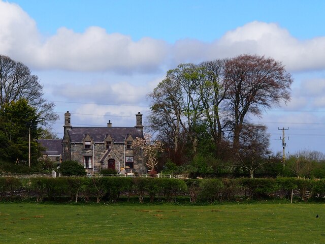
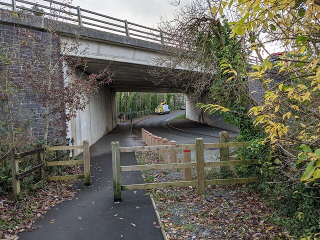
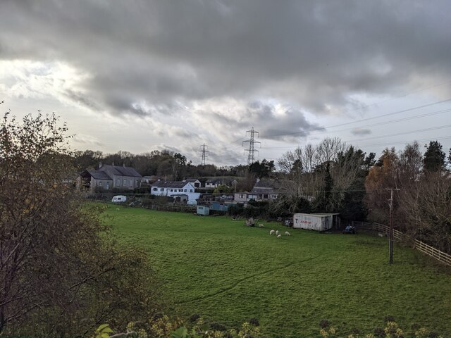
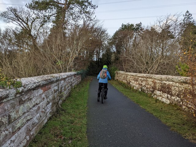
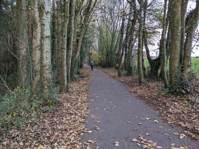
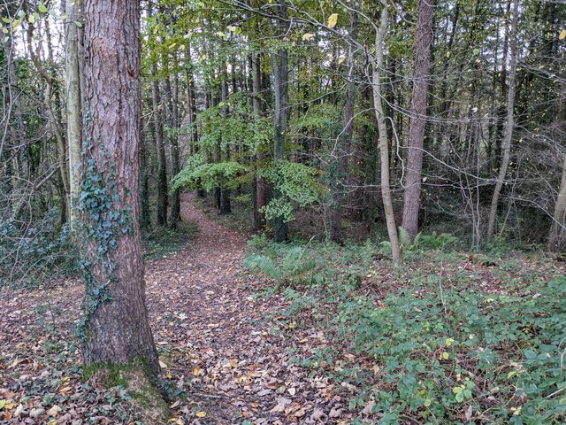
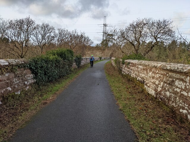
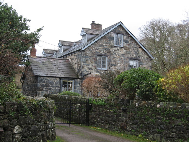
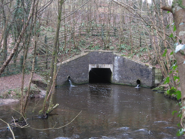
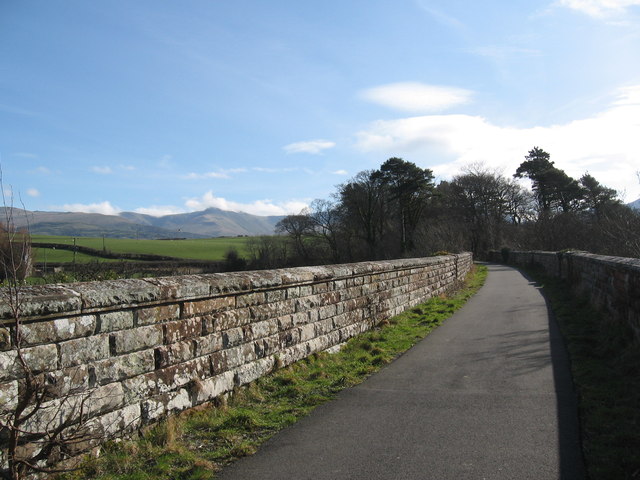
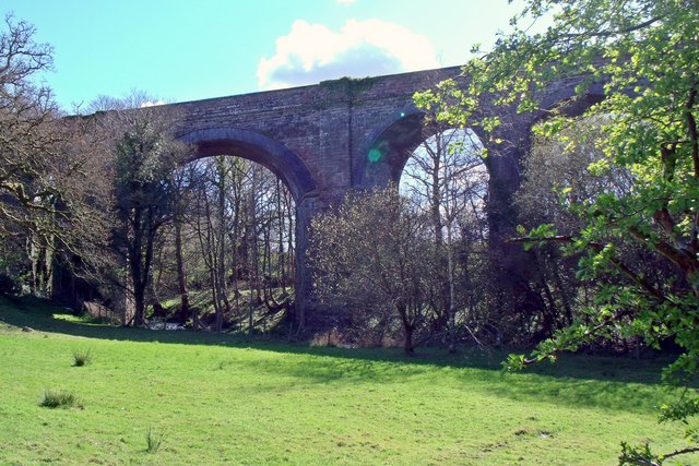
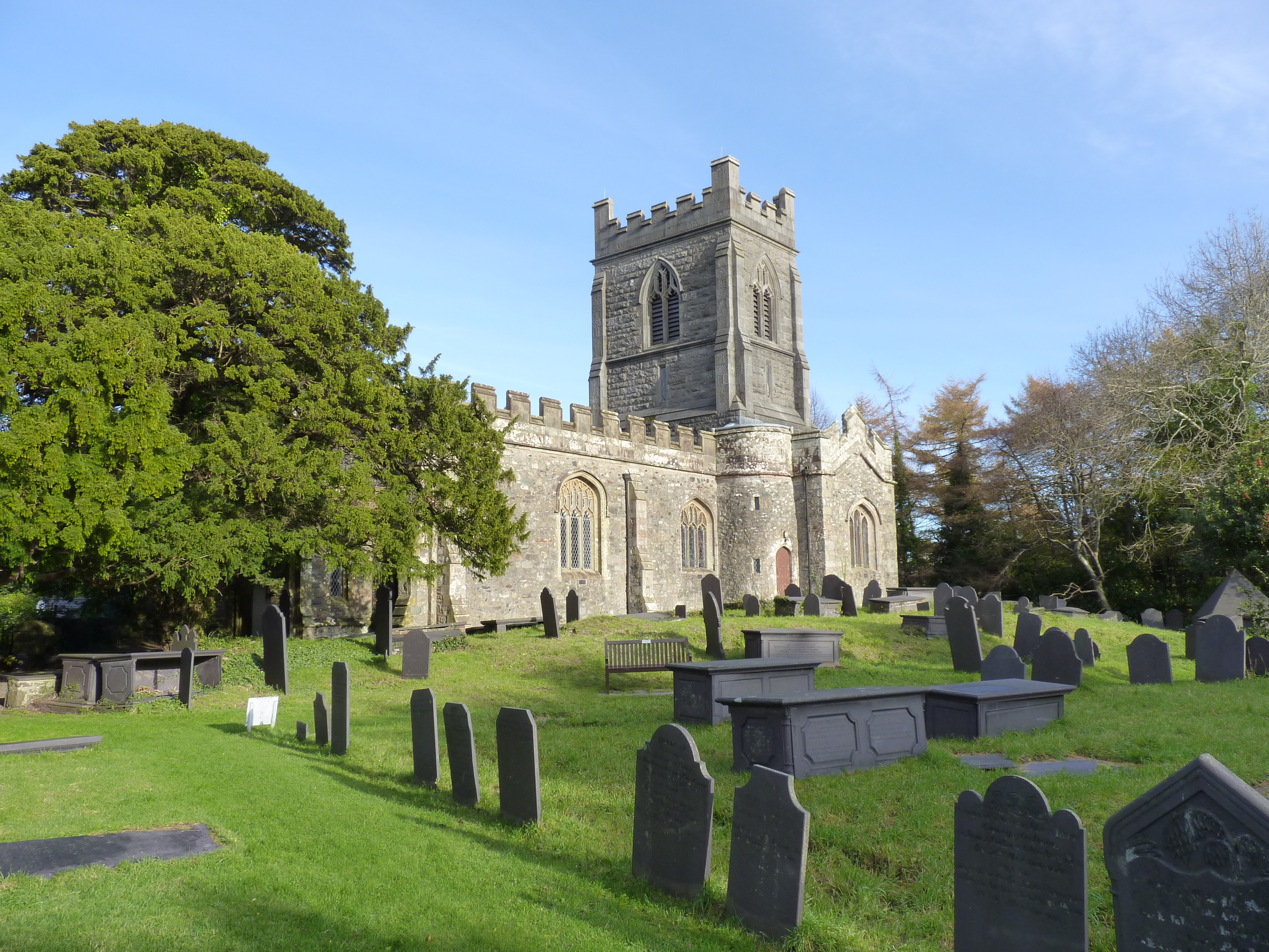
Bryn Images

Images are sourced within 2km of 53.213348/-4.101787 or Grid Reference SH5970. Thanks to Geograph Open Source API. All images are credited.

Layby on the A4244 near to  Glasinfryn The A4244 is a relatively short (6½ miles) rural A-road in north Caernarfonshire. It connects the A5/A55 (near the Llys-y-gwynt junction) with the A4086 at Brynrefail, just outside Llanberis.
Layby on the A4244 near to Glasinfryn
The A4244 is a relatively short (6½ miles) rural A-road in north Caernarfonshire. It connects the A5/A55 (near the Llys-y-gwynt junction) with the A4086 at Brynrefail, just outside Llanberis.
Roundabout near the Bangor A55 Services  Snow-capped Snowdonia mountains beyond
Roundabout near the Bangor A55 Services
Snow-capped Snowdonia mountains beyond
Fferm Lon Isaf
Fferm Lon Isaf
Lôn Las Ogwen passes under the A55
Field and houses near Lôn Las Ogwen
Solid walls on the bridge over the Afon Cegin
A good biking surface on Lôn Las Ogwen
The last of the leaves in the woodland Next to Lôn Las Ogwen.
The last of the leaves in the woodland
Next to Lôn Las Ogwen.
Sandstone walls on Lôn Las Ogwen
A5 south approaching Lon Isaf turning South of A55 junction
A5 south approaching Lon Isaf turning
South of A55 junction
Datestone on Halfway Bridge (Pont y Pandy), Tregarth 1819.
Datestone on Halfway Bridge (Pont y Pandy), Tregarth
1819.
Halfway Bridge (Pont y Pandy), Tregarth
Pont y Pandy (Halfway Bridge) sign, Tregarth
Felin Cochwillan
Felin Cochwillan
Footpath near Halfway Bridge
Culvert, Afon Cegin Allows the river to flow under the A55.
Culvert, Afon Cegin
Allows the river to flow under the A55.
Viaduct, Glasinfryn Originally constructed for the Bangor-Bethesda branch railway line. Now part of a cycle track "Lôn Las Ogwen".  Carneddau in the far distance.
Viaduct, Glasinfryn
Originally constructed for the Bangor-Bethesda branch railway line. Now part of a cycle track "Lôn Las Ogwen". Carneddau in the far distance.
Glasinfryn Viaduct Once carried the former LNWR Bangor to Bethesda railway line over the Afon Cegin, now in use again as part of the Lon Las Ogwen cycle path.
Glasinfryn Viaduct
Once carried the former LNWR Bangor to Bethesda railway line over the Afon Cegin, now in use again as part of the Lon Las Ogwen cycle path.
Show me another place!

Bryn is located at Grid Ref: SH5970 (Lat: 53.213348, Lng: -4.101787)

Unitary Authority: Gwynedd

Police Authority: North Wales

What 3 Words

///severe.liner.sentences. Near Bangor, Gwynedd

Nearby Locations

Bryn Llandegai Llandygái

Related Wikis

Llandygai

Llandygái (; Welsh: [ɬandɛ'ɡai]; ; also Llandegai) is a small village and community on the A5 road between Bangor and Tal-y-bont in Gwynedd, Wales. It...

Talybont, Bangor

Talybont (otherwise Tal-y-bont), is a small village to the southeast of the city of Bangor in Gwynedd, north Wales, in the community of Llanllechid, and...

Maesgeirchen

Maesgeirchen is a large housing estate on the edge of the city of Bangor in Gwynedd, north-west Wales, with roughly 4,000 inhabitants. It is the third...

Cochwillan

Cochwillan is a medieval hall house situated in the lower Ogwen Valley, south of the village of Talybont in the parish of Llanllechid, between Bethesda...

Nearby Amenities

Located within 500m of 53.213348,-4.101787
Bus Stop
Bench: no
Bin: yes
Bus: yes
Public Transport: platform
Shelter: no
Lat/Long: 53.2174376/-4.1021748
Post Box
Lat/Long: 53.2167069/-4.1066084
Post Box
Collection Times: Mo-Fr 17:15; Sa 10:15
Operator: Royal Mail
Operator Wikidata: Q638098
Post Box Type: wall
Ref: LL57 108
Royal Cypher: EIIR
Royal Cypher Wikidata: Q33102113
Lat/Long: 53.2167186/-4.1008413
Bus Stop
Bus: yes
Naptan AtcoCode: 5400AWP26433
Naptan NaptanCode: gwnawjp
Public Transport: platform
Shelter: yes
Lat/Long: 53.2166579/-4.1008145
Bus Stop
Bench: yes
Bus: yes
Public Transport: platform
Shelter: yes
Timetable: yes
Lat/Long: 53.2167156/-4.1012718
Crossing
Crossing: uncontrolled
Kerb: flush
Tactile Paving: yes
Lat/Long: 53.2125964/-4.1037213
Crossing
Crossing: uncontrolled
Kerb: flush
Tactile Paving: yes
Lat/Long: 53.2126658/-4.1038441
Bus Stop
Bay: yes
Bus: yes
Public Transport: platform
Shelter: no
Lat/Long: 53.2142987/-4.1019944
Power: substation
Lat/Long: 53.21711/-4.098871
Direction: 165
Generator Method: photovoltaic
Generator Output Electricity: yes
Generator Solar Modules: 32
Generator Source: solar
Generator Type: solar_photovoltaic_panel
Location: roof
Power: generator
Lat/Long: 53.2107072/-4.0972218
Direction: 255
Generator Method: photovoltaic
Generator Output Electricity: yes
Generator Solar Modules: 10
Generator Source: solar
Generator Type: solar_photovoltaic_panel
Location: roof
Power: generator
Lat/Long: 53.2106823/-4.0976167
Direction: 255
Generator Method: photovoltaic
Generator Output Electricity: yes
Generator Solar Modules: 6
Generator Source: solar
Generator Type: solar_photovoltaic_panel
Location: roof
Power: generator
Lat/Long: 53.2107493/-4.0976395
Direction: S
Generator Method: photovoltaic
Generator Output Electricity: yes
Generator Solar Modules: 10
Generator Source: solar
Generator Type: solar_photovoltaic_panel
Location: roof
Power: generator
Lat/Long: 53.2129672/-4.1023958
Height: 8
Man Made: tower
Tower Type: communication
Lat/Long: 53.2145114/-4.1020789
The data included in this document is from www.openstreetmap.org. The data is made available under ODbL.

Have you been to Bryn?

Leave your review of Bryn below (or comments, questions and feedback).