Sandringham
Civil Parish in Norfolk King's Lynn and West Norfolk
England
Sandringham

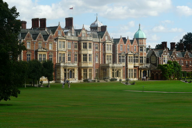
Sandringham is a civil parish located in the county of Norfolk, England. It is situated approximately 10 miles north-east of the town of King's Lynn and covers an area of around 23 square kilometers. The civil parish is home to the Sandringham Estate, which is owned by the British royal family and serves as their private residence.
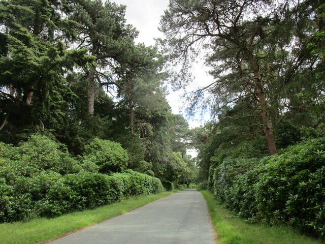
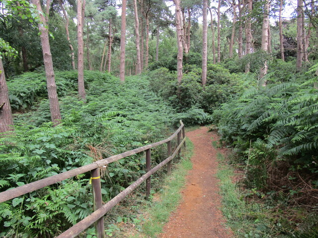
The landscape of Sandringham is predominantly rural, characterized by rolling countryside, woodlands, and farmland. The area is known for its picturesque beauty, with many walking trails and nature reserves that attract visitors throughout the year. The coastline of the North Sea is also within close proximity, offering stunning views and recreational activities.
The centerpiece of Sandringham is the Sandringham House, a grand country house built in the 19th century. The house is surrounded by extensive gardens, including the renowned Sandringham Gardens, which showcase a diverse range of flora and fauna. The estate also features a museum that displays the royal family's extensive collection of art and artifacts.
Sandringham is not just a royal retreat but also a bustling community. It has a population of around 400 people, who reside in a mix of historic cottages and modern houses. The parish has a primary school, a church, and a village hall, which serve as focal points for local activities and events.
Overall, Sandringham offers a unique blend of royal heritage, natural beauty, and community spirit. It is an idyllic destination for those seeking tranquility, history, and a connection with the British monarchy.
If you have any feedback on the listing, please let us know in the comments section below.
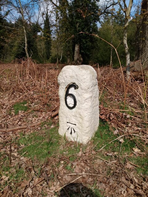
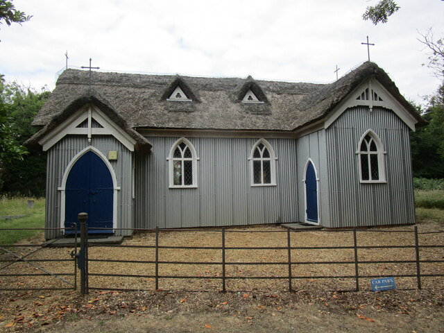
Sandringham Images
Images are sourced within 2km of 52.822363/0.468418 or Grid Reference TF6627. Thanks to Geograph Open Source API. All images are credited.


Sandringham is located at Grid Ref: TF6627 (Lat: 52.822363, Lng: 0.468418)
Administrative County: Norfolk
District: King's Lynn and West Norfolk
Police Authority: Norfolk
What 3 Words
///easy.woven.attic. Near Dersingham, Norfolk
Related Wikis
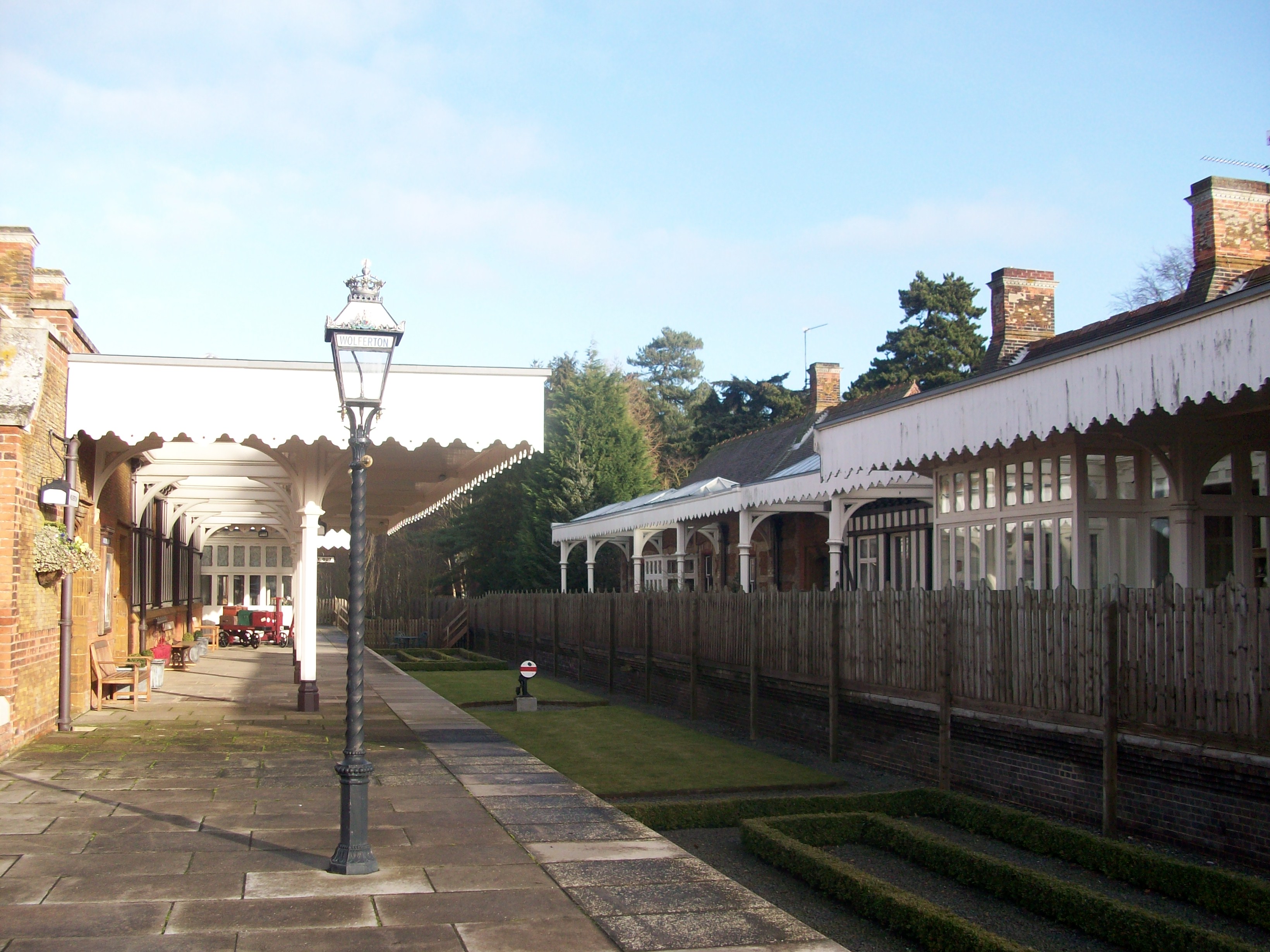
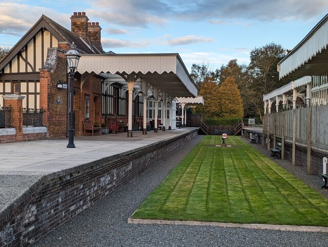
Wolferton railway station
Wolferton was a railway station on the Lynn and Hunstanton Railway line which opened in 1862 to serve the village of Wolferton in Norfolk, England. The...

Wolferton
Wolferton is a village and former civil parish, now in the parish of Sandringham, in the King's Lynn and West Norfolk district, in the county of Norfolk...

Wood Farm
Wood Farm is a farmhouse on the British Royal Family's Sandringham Estate in Norfolk, England. Historically occupied by members of the Royal Family and...

Dersingham Bog
Dersingham Bog is a 159.1-hectare (393-acre) biological and geological Site of Special Scientific Interest in Norfolk, England. It is a Nature Conservation...
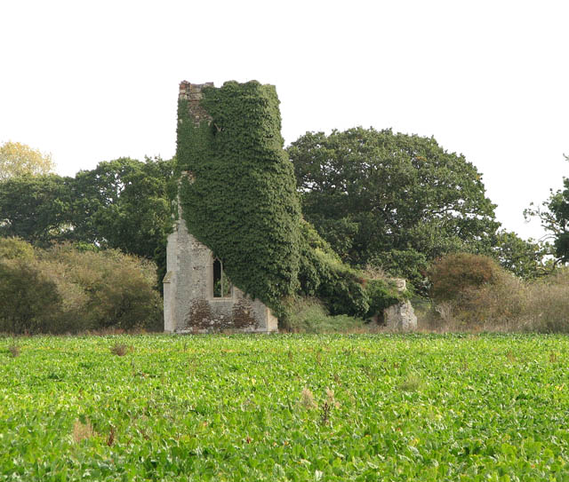
Babingley
Babingley is a village and former civil parish, now in the parish of Sandringham, in the King's Lynn and West Norfolk district, in the county of Norfolk...
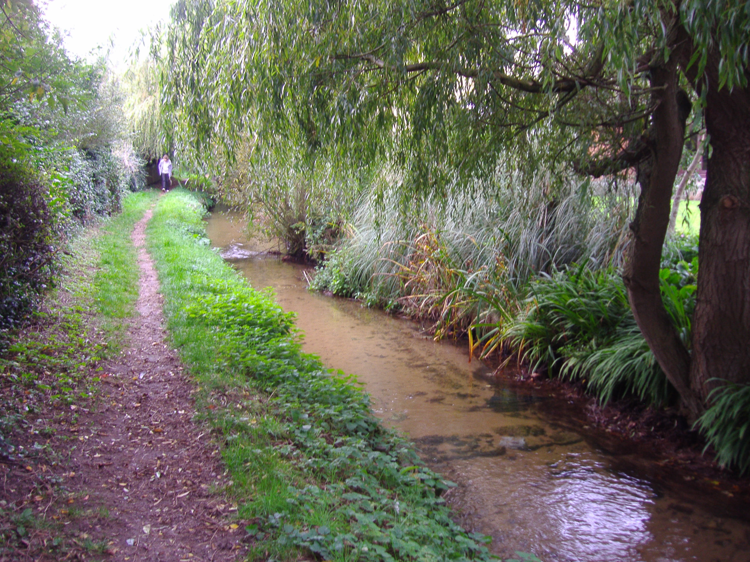
River Ingol
The River Ingol is a small river in the west of the English county of Norfolk. == Sources == The source of the river can be found a little to the west...
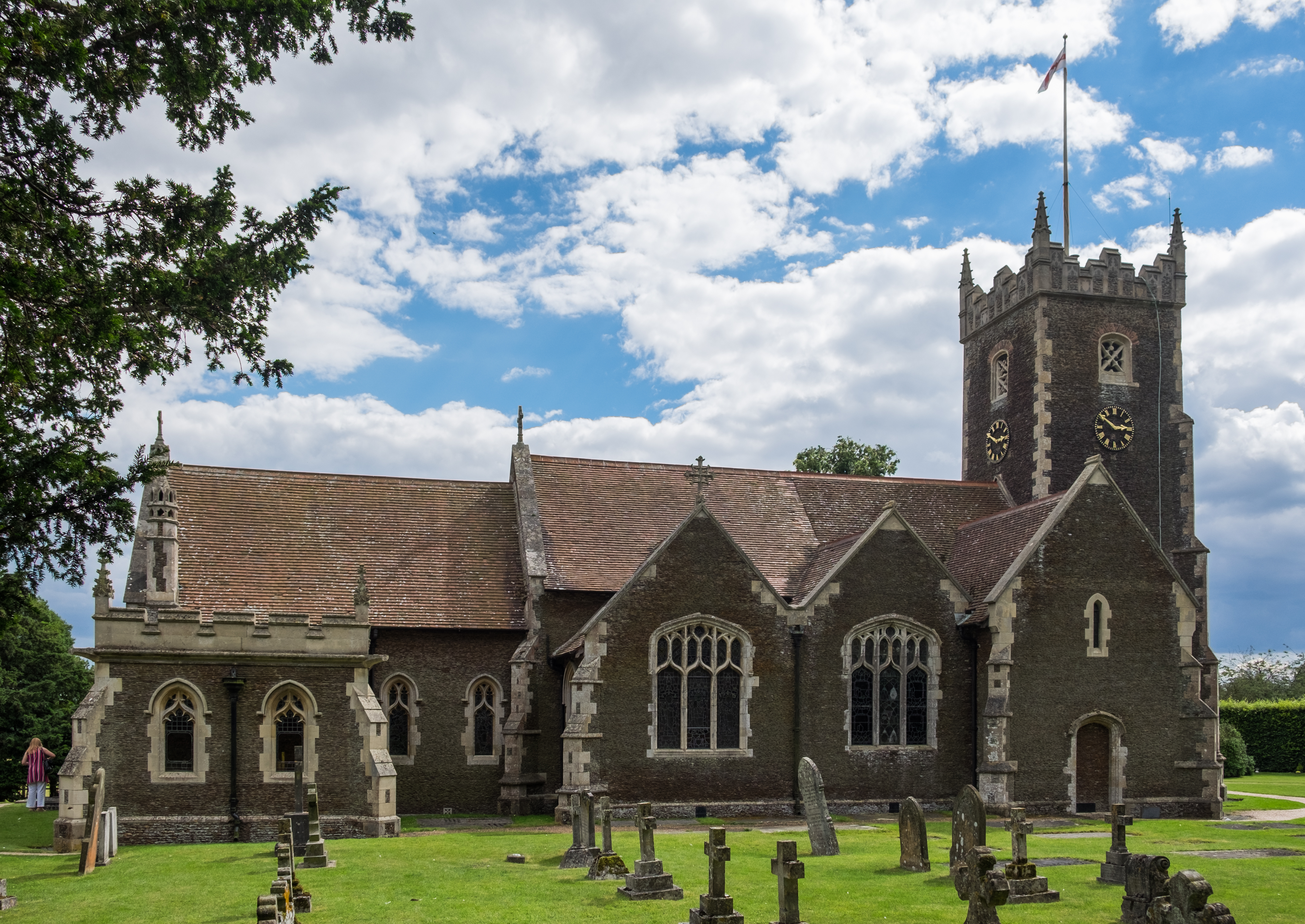
St Mary Magdalene Church, Sandringham
St Mary Magdalene Church is a church in Sandringham, Norfolk, England, located just to the southwest of Sandringham House. Members of the British Royal...
Sandringham, Norfolk
Sandringham is a village and civil parish in the north of the English county of Norfolk. The village is situated 2 kilometres (1.2 mi) south of Dersingham...
Nearby Amenities
Located within 500m of 52.822363,0.468418Have you been to Sandringham?
Leave your review of Sandringham below (or comments, questions and feedback).