Roydon

Civil Parish in Essex Epping Forest

England

Roydon

River Lea : Feildes Weir Lock house
River Lea : Feildes Weir Lock house Credit: Jim Osley

Roydon is a civil parish located in the county of Essex, in the southeastern part of England. Situated approximately 20 miles northeast of the capital city, London, Roydon is a small and picturesque village with a population of around 2,200 residents.

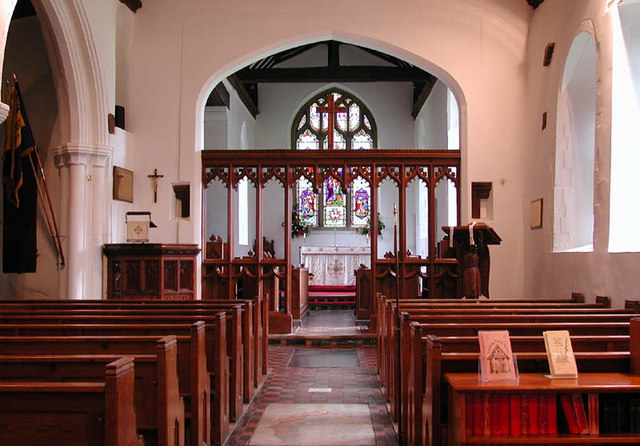
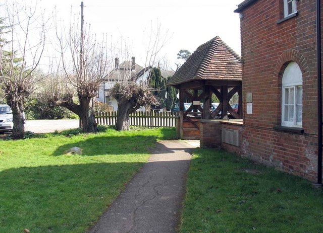
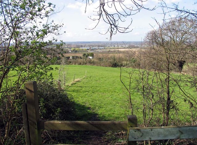
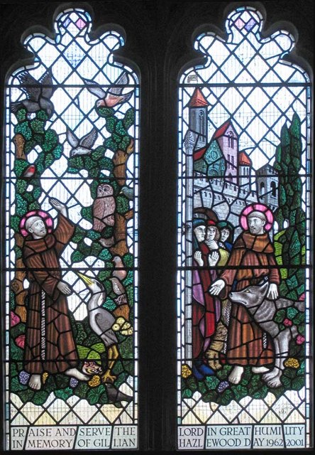
The village is set in the scenic countryside, surrounded by fields and woodlands, offering a peaceful and tranquil environment for its inhabitants. Roydon boasts a rich history, with evidence of human settlement dating back to the Roman times. The parish is home to several historic buildings, including St. Peter's Church, a Grade II listed building that dates back to the 12th century.

The village is well-connected to nearby towns and cities, with Roydon railway station providing regular train services to London and other major destinations. The A414 road also runs through the parish, offering convenient access to the wider Essex area.

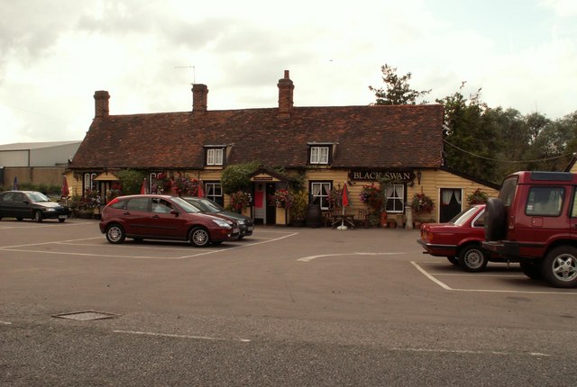
Roydon offers a range of amenities for its residents, including a village store, a primary school, and a community center. The village also has several sports clubs and recreational facilities, such as a cricket club, a football club, and a tennis club, providing opportunities for residents to engage in various activities.

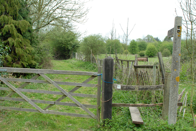
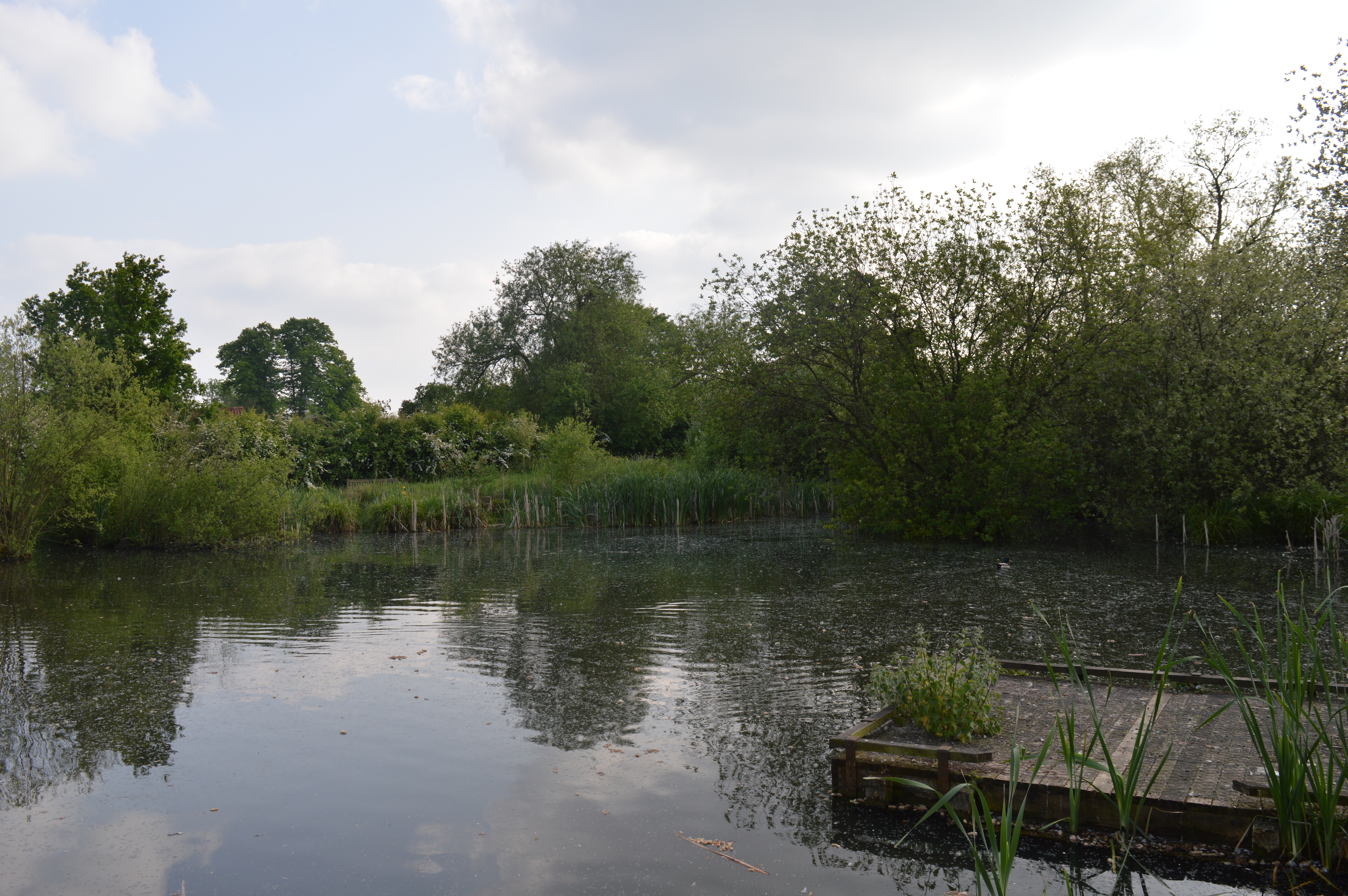
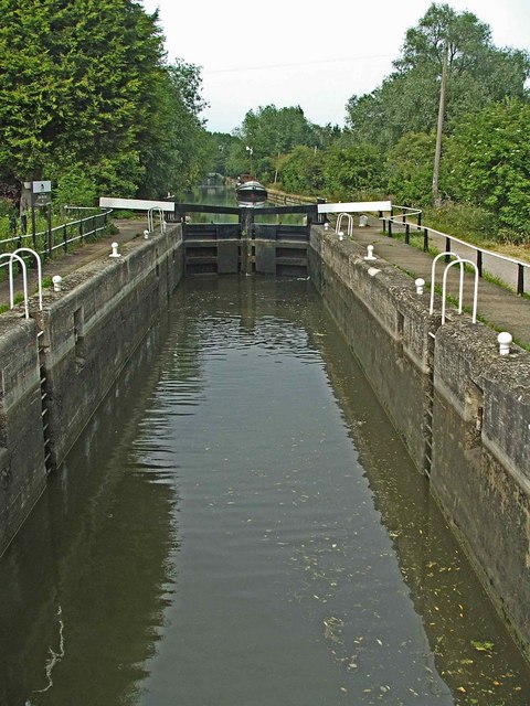
The natural beauty of the surrounding area makes Roydon an ideal location for outdoor enthusiasts, with several walking and cycling routes available. The nearby River Stort and River Lee also offer opportunities for boating and fishing.

Overall, Roydon is a charming village that combines a rich history with a peaceful rural setting, making it an attractive place to live for those seeking a serene and close-knit community.

If you have any feedback on the listing, please let us know in the comments section below.
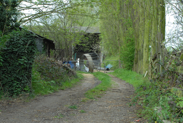
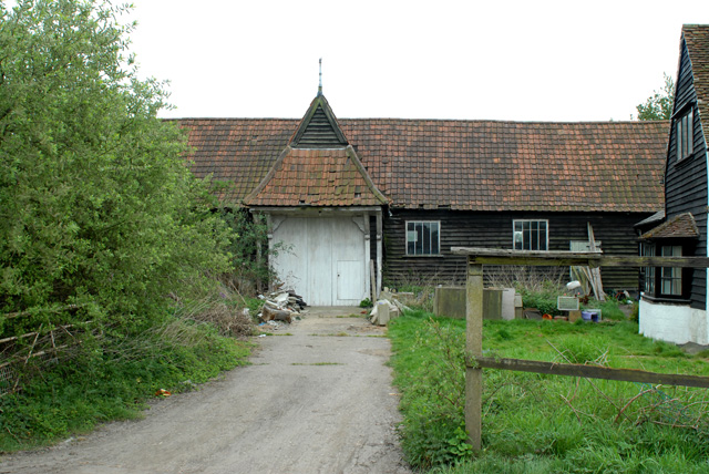
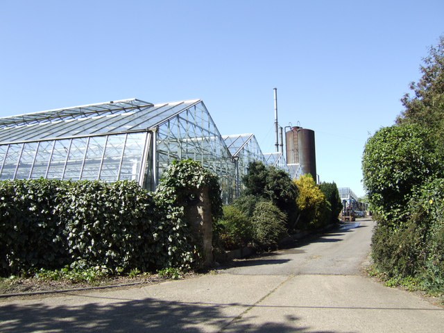
Roydon Images

Images are sourced within 2km of 51.752036/0.032239 or Grid Reference TL4007. Thanks to Geograph Open Source API. All images are credited.

River Lea : Feildes Weir Lock house
'Black Swan' inn, Broadley Common, Essex
All Saints church, Nazeing, Essex This church has a Norman nave and a fine 16th century brick tower. It stands in a nice setting at the bottom of a dead-end road.
All Saints church, Nazeing, Essex
This church has a Norman nave and a fine 16th century brick tower. It stands in a nice setting at the bottom of a dead-end road.
All Saints, Nazeing, Essex
All Saints, Nazeing, Essex - Churchyard
All Saints, Nazeing, Essex - Lychgate
All Saints, Nazeing, Essex - Churchyard
All Saints, Nazeing, Essex - Porch
View from All Saints, Nazeing churchyard, Essex
All Saints, Nazeing, Essex
All Saints, Nazeing, Essex - Window Depicting St Francis. Window by Peter Cormack.
All Saints, Nazeing, Essex - Window
Depicting St Francis. Window by Peter Cormack.
Telephone Box One of the few old style red Telephone boxes left in the area.
Telephone Box
One of the few old style red Telephone boxes left in the area.
Footpath north from Epping Road, Halls Green
Farm Entrance off Hamlet Hill Difficult to say if this is still a working farm!
Farm Entrance off Hamlet Hill
Difficult to say if this is still a working farm!
Barn in Old House Lane
Commercial nursery On Bumble's Lane between Nazeing and Lower Nazeing. The Lea Valley centred around Roydon-Nazeing is an area of traditional market gardens that were developed in the postwar years to provide salad crops for the London markets thirty miles away. Now the nurseries have diversified into all kinds of horticulture.
Commercial nursery
On Bumble's Lane between Nazeing and Lower Nazeing. The Lea Valley centred around Roydon-Nazeing is an area of traditional market gardens that were developed in the postwar years to provide salad crops for the London markets thirty miles away. Now the nurseries have diversified into all kinds of horticulture.
Show me another place!

Roydon is located at Grid Ref: TL4007 (Lat: 51.752036, Lng: 0.032239)

Administrative County: Essex

District: Epping Forest

Police Authority: Essex

What 3 Words

///then.shells.foil. Near Roydon, Essex

Related Wikis

Roydon Hamlet

Roydon Hamlet is a hamlet in the Epping Forest district in the English county of Essex. Nearby settlements include the large town of Harlow and the village...

Nazeing Triangle

Nazeing Triangle is a 0.5 hectare Local Nature Reserve in Nazeing, between Harlow and Cheshunt in Essex. It is owned by Nazeing Parish Council and managed...

Feildes Weir

Feildes Weir is a weir on the River Lea located in Hoddesdon, Hertfordshire at the confluence of the River Lea and River Stort. The weir marks the start...
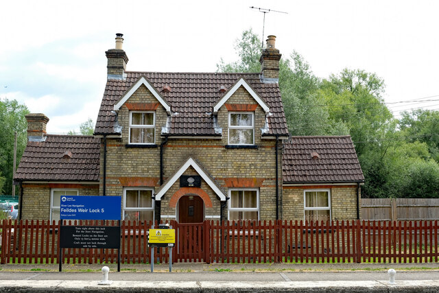
Feildes Weir Lock

Feildes Weir Lock (No5) is a lock on the River Lee Navigation located in Hoddesdon. == Location == The lock is adjacent to the confluence of the River...

River Stort

The River Stort is a river in Essex and Hertfordshire, England. It is 24 miles (38 km) long and flows from just south of the village of Langley to the...

Tollhouse Stream

The Tollhouse Stream is a watercourse in Hertfordshire, England. It rises in the Rye Meads a sewage treatment works on the northeastern bank of the River...

Dobbs Weir

Dobbs Weir is both a weir in Hoddesdon, Hertfordshire and an area of Roydon, Essex in England on the River Lea. It is well known for angling, outdoor beauty...

Dobbs Weir Lock

Dobbs Weir Lock (No 6) is a lock on the River Lee Navigation near Hoddesdon. == Location == The lock is south of the nearby Dobbs Weir, and stands close...

Nearby Amenities

Located within 500m of 51.752036,0.032239
Created By: YahooApplet 1.0
Lat/Long: 51.7525439/0.027647
Created By: YahooApplet 1.0
Lat/Long: 51.7523845/0.0306725
Created By: YahooApplet 1.0
Lat/Long: 51.7524642/0.0287091
Created By: YahooApplet 1.0
Lat/Long: 51.752431/0.0299966
Created By: YahooApplet 1.0
Lat/Long: 51.7519793/0.0323248
Created By: YahooApplet 1.0
Lat/Long: 51.7524509/0.0294602
Created By: YahooApplet 1.0
Lat/Long: 51.7512819/0.0332474
Created By: YahooApplet 1.0
Lat/Long: 51.7504583/0.0339448
Created By: YahooApplet 1.0
Lat/Long: 51.7496214/0.0345993
Created By: YahooApplet 1.0
Lat/Long: 51.7494155/0.0351572
Created By: YahooApplet 1.0
Lat/Long: 51.7496546/0.0379359
Created By: YahooApplet 1.0
Lat/Long: 51.7495749/0.0367236
Created By: YahooApplet 1.0
Lat/Long: 51.752338/0.0309407
Created By: YahooApplet 1.0
Lat/Long: 51.7525306/0.0309837
Created By: YahooApplet 1.0
Lat/Long: 51.7526501/0.0309944
Created By: YahooApplet 1.0
Lat/Long: 51.7530819/0.0309729
Created By: YahooApplet 1.0
Lat/Long: 51.7536796/0.0309407
Created By: YahooApplet 1.0
Lat/Long: 51.7537527/0.0311017
Created By: YahooApplet 1.0
Lat/Long: 51.7537792/0.0314235
Created By: YahooApplet 1.0
Lat/Long: 51.7530951/0.0314021
Created By: YahooApplet 1.0
Lat/Long: 51.7531217/0.0317454
Created By: YahooApplet 1.0
Lat/Long: 51.7526834/0.0315845
Created By: YahooApplet 1.0
Lat/Long: 51.7526568/0.0317025
Created By: YahooApplet 1.0
Lat/Long: 51.7525837/0.0318312
Created By: YahooApplet 1.0
Lat/Long: 51.7525771/0.0320351
Created By: YahooApplet 1.0
Lat/Long: 51.7527631/0.033741
Power: tower
Lat/Long: 51.7542568/0.0305182
Power: tower
Lat/Long: 51.7517495/0.0311297
Power: tower
Lat/Long: 51.7492554/0.0319344
The data included in this document is from www.openstreetmap.org. The data is made available under ODbL.

Have you been to Roydon?

Leave your review of Roydon below (or comments, questions and feedback).