Roxholm

Civil Parish in Lincolnshire North Kesteven

England

Roxholm

Bend ahead on the A15
Bend ahead on the A15 Credit: Steve Fareham

Roxholm is a civil parish located in the county of Lincolnshire, England. It is situated approximately 7 miles south of the city of Lincoln, in the West Lindsey district. The parish covers an area of around 5 square miles and is predominantly rural in nature.

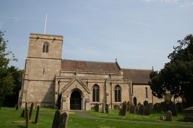
The village of Roxholm is small, with a population of just over 100 residents. It is surrounded by picturesque countryside, characterized by rolling hills and agricultural fields. The village itself consists of a few residential houses and a parish church, St. Thomas of Canterbury, which dates back to the 13th century and is a Grade II listed building.

The area is known for its tranquility and natural beauty, making it an attractive destination for those seeking a peaceful rural retreat. The nearby River Witham flows through the parish, offering opportunities for fishing and boating.

Roxholm is well-connected to the surrounding areas, with good road links to Lincoln and other nearby towns. The village is also served by a regular bus service, providing easy access to amenities and services in the larger towns.

Overall, Roxholm is a charming and idyllic civil parish, offering a peaceful and scenic setting for its residents and visitors alike.

If you have any feedback on the listing, please let us know in the comments section below.
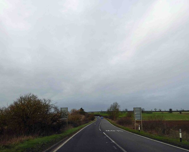
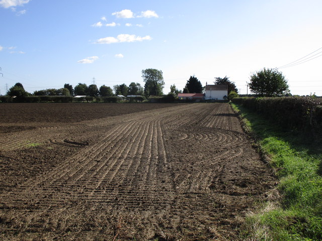
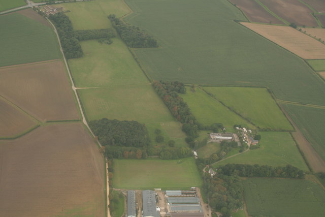
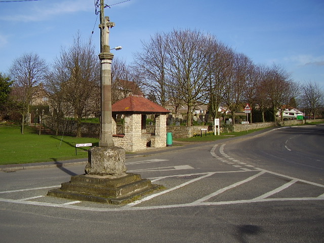
Roxholm Images

Images are sourced within 2km of 53.039825/-0.428604 or Grid Reference TF0550. Thanks to Geograph Open Source API. All images are credited.

Bend ahead on the A15
A15 heading North
A15 heading North
Posing sheep near Hall Farm
Farm track at Roxholme The material heaped by the side of the track is barley that has been grown for forage. Presumably this was a loading point.
Farm track at Roxholme
The material heaped by the side of the track is barley that has been grown for forage. Presumably this was a loading point.
Former Methodist church, Roxholme Now a dwelling.
Former Methodist church, Roxholme
Now a dwelling.
Cut field near Roxholme Grange The field has had a crop of barley which has been cut green for forage.
Cut field near Roxholme Grange
The field has had a crop of barley which has been cut green for forage.
Hazy landscape near Roxholme Warm and very humid. Thunderstorms forecast later.
Hazy landscape near Roxholme
Warm and very humid. Thunderstorms forecast later.
Prepared field and Sunnyside Farm
Remains of ridge and furrow near Roxholme Hall: aerial 2020
Dunsby DMV Sheep grazing in what was once the medieval village of Dunsby
Dunsby DMV
Sheep grazing in what was once the medieval village of Dunsby
Dale Farm Dale Farm stands at the top of a shallow valley which is very likely where it gets its name from.
Dale Farm
Dale Farm stands at the top of a shallow valley which is very likely where it gets its name from.
Cottage Farm Cottage Farm is one of the few things in this square that isn't a field.
Cottage Farm
Cottage Farm is one of the few things in this square that isn't a field.
Red Field The soil in this recently ploughed field has a strong red tone to it.
Red Field
The soil in this recently ploughed field has a strong red tone to it.
Road to Roxholm This road to Roxholm Hall is also a bridleway.
Road to Roxholm
This road to Roxholm Hall is also a bridleway.
Roxholm Hall This Hall is used as a care centre.
Roxholm Hall
This Hall is used as a care centre.
Crossroads Showing Road/Bridleway in the distance leading to Roxholm Hall
Crossroads
Showing Road/Bridleway in the distance leading to Roxholm Hall
Small Church and Graveyard Roxholme near Leasingham There is no sign on this Church but it is still in use
Small Church and Graveyard Roxholme near Leasingham
There is no sign on this Church but it is still in use
House beside Church on Leasingham / Bloxholme Road
Show me another place!

Roxholm is located at Grid Ref: TF0550 (Lat: 53.039825, Lng: -0.428604)

Administrative County: Lincolnshire

District: North Kesteven

Police Authority: Lincolnshire

What 3 Words

///wider.proceeds.presumes. Near Leasingham, Lincolnshire

Related Wikis

Leasingham

Leasingham is a village and civil parish in the North Kesteven district of Lincolnshire, England. It is situated less than 2 miles (3 km) north from Sleaford...

Cranwell

Cranwell is a village in the civil parish of Cranwell, Brauncewell and Byard's Leap, in the North Kesteven district of Lincolnshire, England. It is situated...

Deanery of Lafford

The Deanery of Lafford is an historic deanery in the Anglican Diocese of Lincoln in England. Located around the market town of Sleaford, it covers an area...

Ruskington

Ruskington is a village and civil parish in the North Kesteven district of Lincolnshire, England, located approximately 4 miles (6.4 km) north of Sleaford...

Nearby Amenities

Located within 500m of 53.039825,-0.428604
Power: tower
Lat/Long: 53.0421727/-0.422285
Ele: 19
Lat/Long: 53.0394633/-0.430512
Passing Place
Ele: 16
Lat/Long: 53.0392165/-0.4323828
Ele: 16
Lat/Long: 53.039194/-0.4326993
Ele: 15
Lat/Long: 53.0391262/-0.4349148
Ele: 15
Lat/Long: 53.0393141/-0.4323871
Ele: 19.0000000
Lat/Long: 53.0395592/-0.430574
Ele: 18
Lat/Long: 53.038911/-0.4244927
Ele: 19
Lat/Long: 53.0392074/-0.427722
Ele: 20
Lat/Long: 53.0393177/-0.4288856
Hall Farm
Place: farm
Source: Bing
Lat/Long: 53.0426645/-0.4306563
The data included in this document is from www.openstreetmap.org. The data is made available under ODbL.

Have you been to Roxholm?

Leave your review of Roxholm below (or comments, questions and feedback).