Rolleston on Dove

Civil Parish in Staffordshire East Staffordshire

England

Rolleston on Dove

Marston on Dove Church
Marston on Dove Church Credit: mike smith

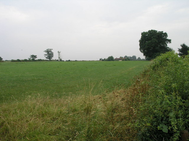
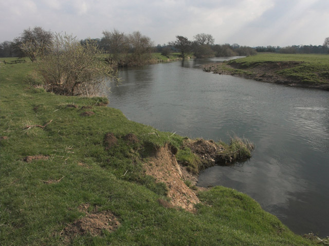
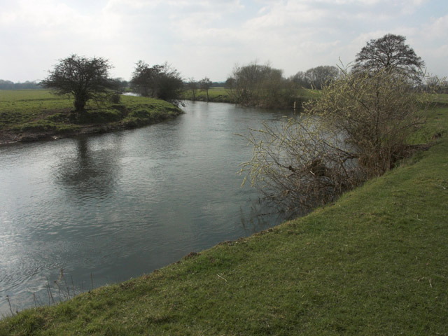
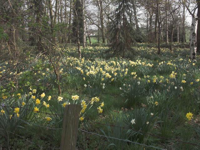
Rolleston on Dove is a civil parish located in the county of Staffordshire, England. It is situated approximately four miles southwest of Burton upon Trent, a historic market town. The village is well-known for its picturesque setting, surrounded by rolling countryside and the River Dove, which runs through it.

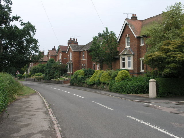
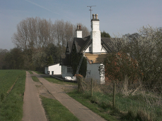
With a population of around 2,500 residents, Rolleston on Dove is a close-knit community that offers a peaceful and rural lifestyle. The village is characterized by its charming cottages and traditional architecture, which add to its overall appeal.

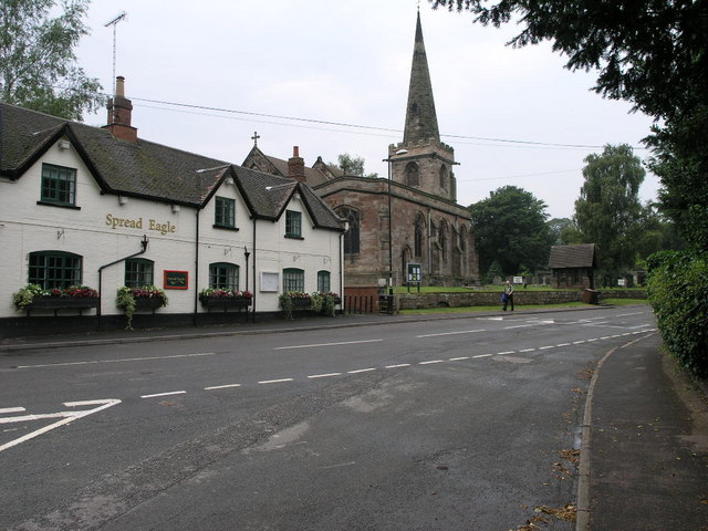
In terms of amenities, Rolleston on Dove boasts a range of facilities to cater to the needs of its residents. These include a primary school, a village hall, a local pub, and a post office. There are also several sports clubs and recreational areas, such as a cricket club and a sports field, providing opportunities for residents to engage in various activities.

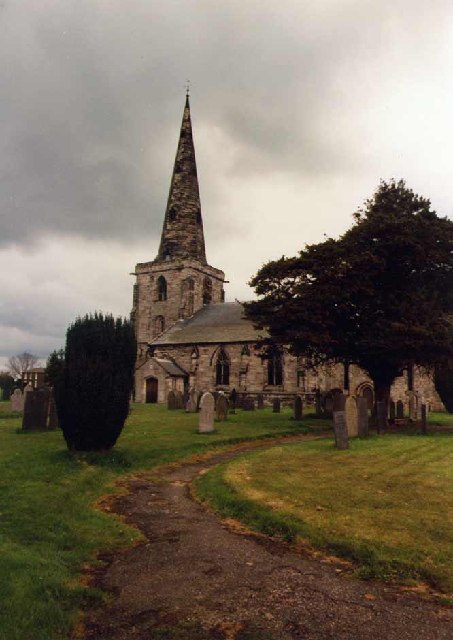
The village is steeped in history, with notable landmarks such as St. Mary's Church, which dates back to the 12th century. The church is known for its impressive architecture and beautiful stained glass windows. Additionally, Rolleston Hall, a Grade II listed building, stands as a testament to the village's heritage.

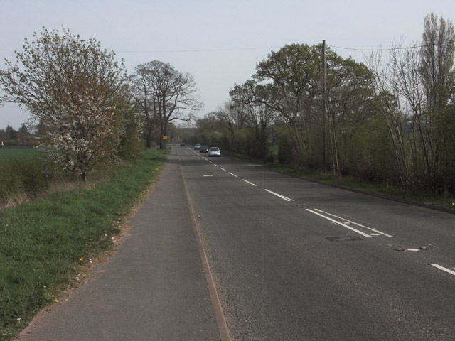
Rolleston on Dove benefits from its proximity to Burton upon Trent, which provides additional amenities and employment opportunities. The village is well-connected to surrounding areas by road, with easy access to major transport links, including the A38 and A50.

Overall, Rolleston on Dove offers a tranquil and idyllic setting, making it an attractive place to live for those seeking a peaceful rural lifestyle.

If you have any feedback on the listing, please let us know in the comments section below.

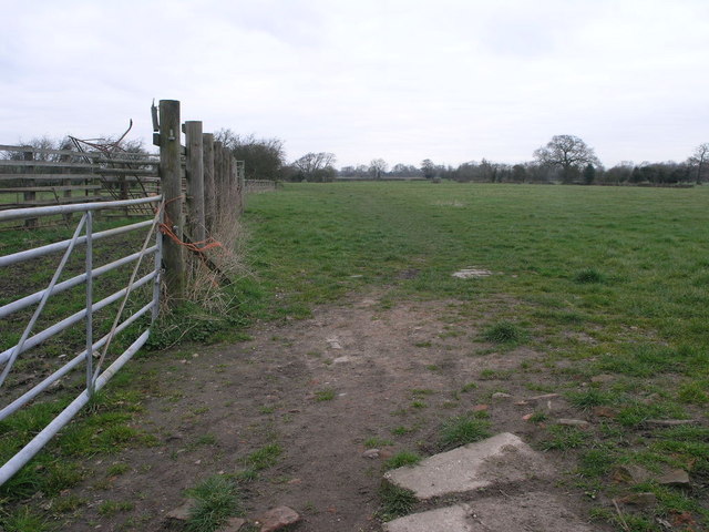
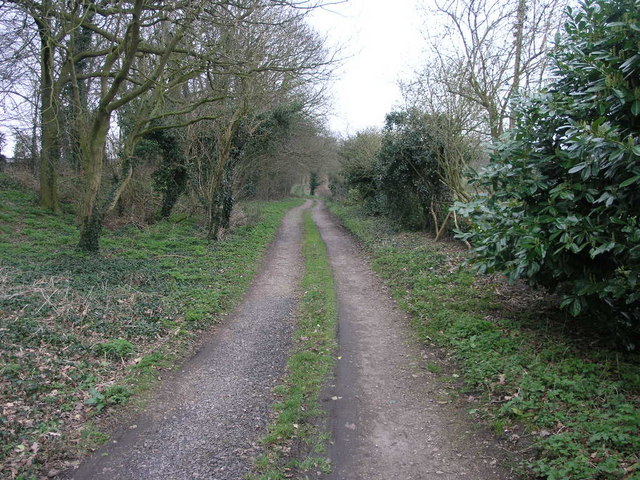
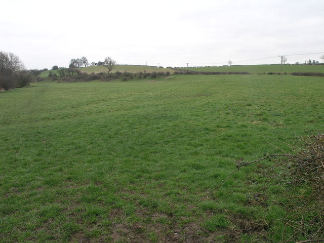
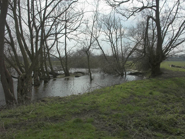
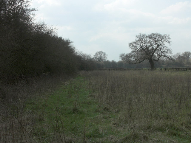
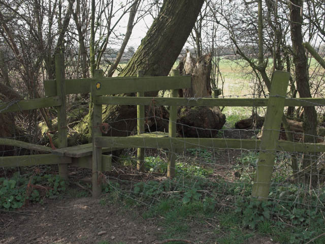
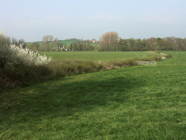
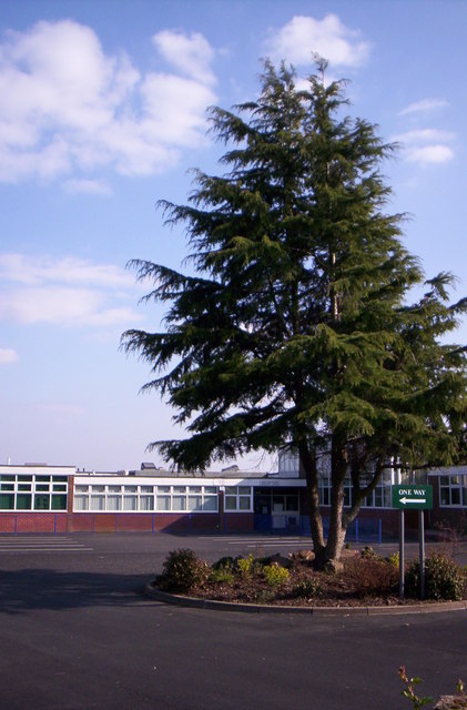
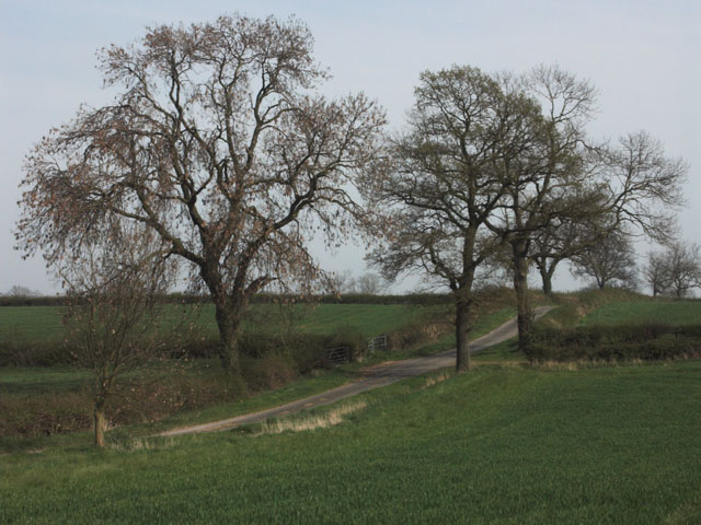
Rolleston on Dove Images

Images are sourced within 2km of 52.846311/-1.649865 or Grid Reference SK2327. Thanks to Geograph Open Source API. All images are credited.

Marston on Dove Church
Beam Hill The gentle slope to the top of Beam Hill as seen from the road to Rolleston.
Beam Hill
The gentle slope to the top of Beam Hill as seen from the road to Rolleston.
Spread Eagle and St Mary's The church in Rolleston on Dove is dedicated to St Mary.  The Spread Eagle pub next door shares some of its architecture with many railway buildings.
Spread Eagle and St Mary's
The church in Rolleston on Dove is dedicated to St Mary. The Spread Eagle pub next door shares some of its architecture with many railway buildings.
Houses in Rolleston These large houses on the road into Rolleston are built close to the site of the former railway station.  Given their distance from the village centre they were very likely built around the time of the railway. <span class="nowrap"><a title="https://web.archive.org/web/20080515162221/http://www.rolleston-on-dove.freeserve.co.uk/history.htm" rel="nofollow ugc noopener" href="https://web.archive.org/web/20080515162221/http://www.rolleston-on-dove.freeserve.co.uk/history.htm">Archive Link</a><img style="margin-left:2px;" alt="External link" title="External link - shift click to open in new window" src="https://s1.geograph.org.uk/img/external.png" width="10" height="10"/></span>
Houses in Rolleston
These large houses on the road into Rolleston are built close to the site of the former railway station. Given their distance from the village centre they were very likely built around the time of the railway. Archive LinkExternal link
Path to Tutbury This public footpath joins Rolleston on Dove with Tutbury.
Path to Tutbury
This public footpath joins Rolleston on Dove with Tutbury.
Bridleway to Alder Moor This bridleway passes by the Cemetery in Rolleston on Dove and leads to Alder Moor.
Bridleway to Alder Moor
This bridleway passes by the Cemetery in Rolleston on Dove and leads to Alder Moor.
Shotwood Hill There are two footpaths which lead from this point to Rolleston on Dove.  One can be seen to the left of the image the other takes the high route over the hill.
Shotwood Hill
There are two footpaths which lead from this point to Rolleston on Dove. One can be seen to the left of the image the other takes the high route over the hill.
River Dove near Egginton The river forms the county boundary between Derbyshire (this bank) and Staffordshire (the far bank).
River Dove near Egginton
The river forms the county boundary between Derbyshire (this bank) and Staffordshire (the far bank).
River Dove looking upstream near Egginton The river forms the county boundary between Derbyshire (this bank) and Staffordshire (the far bank).
River Dove looking upstream near Egginton
The river forms the county boundary between Derbyshire (this bank) and Staffordshire (the far bank).
Pool near River Dove Probably part of an former oxbow, this pool has been well filled by the winter rains.
Pool near River Dove
Probably part of an former oxbow, this pool has been well filled by the winter rains.
Field boundary
Field boundary
Stile on footpath from Egginton to Marston on Dove This stile was in a very rickety condition. The planks flipped up if you trod on the end.
Stile on footpath from Egginton to Marston on Dove
This stile was in a very rickety condition. The planks flipped up if you trod on the end.
Farmland near Rolleston on Dove
Stretton Community School A special school formed by amalgamation of two schools.
Stretton Community School
A special school formed by amalgamation of two schools.
A511 Tutbury to Burton road Spot the speed camera on this 50mph limited road.
A511 Tutbury to Burton road
Spot the speed camera on this 50mph limited road.
Lane leading to Lount Farm
Water House This cottage know as Water House has a large pool behind it, presumably giving the name.
Water House
This cottage know as Water House has a large pool behind it, presumably giving the name.
Daffodil plantation The area of woodland shown on the map as Alder Moor Plantation is a riot of daffodils in April.
Daffodil plantation
The area of woodland shown on the map as Alder Moor Plantation is a riot of daffodils in April.
Show me another place!

Rolleston on Dove is located at Grid Ref: SK2327 (Lat: 52.846311, Lng: -1.649865)

Administrative County: Staffordshire

District: East Staffordshire

Police Authority: Staffordshire

What 3 Words

///gross.bead.winners. Near Burton upon Trent, Staffordshire

Related Wikis

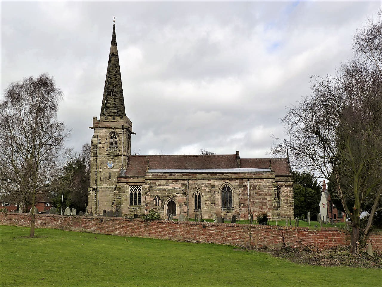
St Mary's Church, Rolleston on Dove

St Mary's Church is a parish church of the Church of England in Rolleston on Dove, Staffordshire. Parts of the structure date to 1130, though it was extensively...

Rolleston on Dove

Rolleston on Dove, also known simply as Rolleston, is a village and civil parish in the East Staffordshire district, in the county of Staffordshire, England...

Rolleston Hall

Rolleston Hall was a country house in Rolleston-on-Dove, Staffordshire. Originally built in the early 17th century for Sir Edward Mosley, it had been substantially...

The de Ferrers Academy

The de Ferrers Academy (formerly De Ferrers Specialist Technology College) is a secondary school with academy status located in Burton upon Trent, Staffordshire...

Rolleston-on-Dove railway station

Rolleston-on-Dove railway station is a disused railway station built to serve Rolleston on Dove in Staffordshire. == History == The station was opened...

Jinnie Trail

The Jinnie Nature Trail is a conservation area stretching along a narrow man-made valley between the villages of Rolleston on Dove and Stretton. It was...

St Mary's Church, Marston on Dove

St Mary's Church, Marston on Dove is a Grade I listed parish church in the Church of England in Marston on Dove, Derbyshire. == History == The church dates...

Stretton and Claymills railway station

Stretton and Claymills railway station is a disused railway station in Stretton, near Burton upon Trent, Staffordshire. == History == The station was opened...

Nearby Amenities

Located within 500m of 52.846311,-1.649865
Rolleston on Dove
Fixme: waterway?
Place: village
Waterway: en:Rolleston on Dove
Wikidata: Q609774
Lat/Long: 52.8462987/-1.650868
Post Box
Fixme: check position, was in junction
Operator: Royal Mail
Ref: DE13 1242
Lat/Long: 52.8447382/-1.6538677
Post Box
Operator: Royal Mail
Ref: DE13 1127
Lat/Long: 52.8444015/-1.6513001
Ford: yes
Lat/Long: 52.8472732/-1.6471757
Turning Circle
Lat/Long: 52.8477432/-1.6539915
Turning Circle
Lat/Long: 52.8447/-1.6486875
Barrier: kissing_gate
Lat/Long: 52.8451451/-1.6458688
Barrier: cycle_barrier
Lat/Long: 52.844121/-1.6476464
Leisure: playground
Lat/Long: 52.8453329/-1.6479609
Pub
The Spread Eagle
Addr City: Burton-on-Trent
Addr Housename: The Spread Eagle
Addr Postcode: DE13 9BE
Addr Street: Church Road
Addr Village: Rolleston on Dove
Brand: Vintage Inns
Brand Wikidata: Q87067899
Contact Facebook: https://www.facebook.com/SpreadEagleRolleston
Email: spreadeaglerolleston@vintageinn.co.uk
Fhrs Id: 1248049
Food: yes
Opening Hours: Mo-Sa 12:00-23:00, Su 12:00-22:30
Phone: +44 1283 813004
Real Ale: yes
Website: https://www.vintageinn.co.uk/restaurants/midlands/thespreadeaglerolleston
Lat/Long: 52.8464928/-1.6508469
Kindergarten
Rolleston Kindergarten
Addr City: Burton-on-Trent
Addr Housenumber: 4
Addr Postcode: DE13 9BZ
Addr Street: The Lawns
Addr Village: Rolleston on Dove
Fhrs Id: 1248281
Lat/Long: 52.8444224/-1.652585
School
John of Rolleston School
Addr City: Burton-on-Trent
Addr Housename: Sherbourne Site
Addr Postcode: DE13 9AQ
Addr Street: School Lane
Addr Village: Rolleston on Dove
Fhrs Id: 1248265
Lat/Long: 52.8458545/-1.6449407
Ian Barker Butcher
Addr City: Burton-on-Trent
Addr Postcode: DE13 9AG
Addr Street: Chapel Lane
Addr Village: Rolleston on Dove
Fhrs Id: 1248305
Shop: butcher
Lat/Long: 52.8457994/-1.6463274
The Florist Gate
Shop: florist
Source: Local Knowledge
Lat/Long: 52.8463599/-1.6479958
The Co-operative Food
Addr City: Burton-on-Trent
Addr Housenumber: 39
Addr Postcode: DE13 9DN
Addr Street: Burnside
Addr Village: Rolleston on Dove
Brand: The Co-operative Food
Brand Wikidata: Q107617274
Fhrs Id: 1248546
Operator: Central England Co-operative
Operator Wikidata: Q16986583
Shop: supermarket
Website: https://stores.centralengland.coop/staffordshire/burton-on-trent/39-burnside-road
Lat/Long: 52.8441122/-1.6512292
Post Office
Rolleston on Dove Post Office
Addr City: Burton-on-Trent
Addr Housenumber: 35
Addr Postcode: DE13 9DN
Addr Street: Burnside
Addr Village: Rolleston on Dove
Brand: Post Office
Brand Wikidata: Q1783168
Ref Pol Id: 14395
Website: https://www.postoffice.co.uk/branch-finder/3932079/rolleston-on-dove
Lat/Long: 52.8442878/-1.6511442
Bus Stop
Marston Lane
Public Transport: platform
Lat/Long: 52.847005/-1.6542189
Bus Stop
Marston Lane
Naptan AtcoCode: 3800C342501
Naptan NaptanCode: stadgwjm
Public Transport: platform
Lat/Long: 52.8471119/-1.6544791
Bus Stop
Spread Eagle Inn PH
Naptan AtcoCode: 3800C307500
Naptan NaptanCode: stagpwmd
Public Transport: platform
Lat/Long: 52.8465514/-1.6508246
Bus Stop
Spread Eagle Inn PH
Naptan AtcoCode: 3800C307501
Naptan NaptanCode: stadapgj
Public Transport: platform
Lat/Long: 52.8466008/-1.6506502
Bus Stop
Alderbrook Close
Naptan AtcoCode: 3800C342402
Naptan NaptanCode: stadgwjg
Public Transport: platform
Lat/Long: 52.8464599/-1.6450471
Bus Stop
Alderbrook Close
Naptan AtcoCode: 3800C342401
Naptan NaptanCode: stadgwjd
Public Transport: platform
Lat/Long: 52.8467178/-1.6459263
Bus Stop
School Lane
Naptan AtcoCode: 3800C342001
Naptan NaptanCode: stadgwgj
Public Transport: platform
Lat/Long: 52.8467677/-1.6427833
Bus Stop
Blacksmiths Yard
Naptan AtcoCode: 3800C340702
Naptan NaptanCode: stadgwad
Public Transport: platform
Lat/Long: 52.8459549/-1.6504188
Bus Stop
Blacksmiths Yard
Naptan AtcoCode: 3800C340701
Naptan NaptanCode: stadgtwt
Public Transport: platform
Lat/Long: 52.8462347/-1.6503793
Bus Stop
Elizabeth Avenue
Naptan AtcoCode: 3800C340601
Naptan NaptanCode: stadgtwm
Public Transport: platform
Lat/Long: 52.8448966/-1.651243
Bus Stop
Elizabeth Avenue
Public Transport: platform
Lat/Long: 52.8448416/-1.6510874
Bus Stop
Apple Acres
Public Transport: platform
Lat/Long: 52.8428765/-1.6507387
Bus Stop
Apple Acres
Naptan AtcoCode: 3800C340502
Naptan NaptanCode: stadgtwj
Public Transport: platform
Lat/Long: 52.8426367/-1.6504383
Barrier: stile
Lat/Long: 52.8493972/-1.6523118
Barrier: stile
Lat/Long: 52.8496133/-1.6513414
Barrier: stile
Lat/Long: 52.8480567/-1.6519773
Traffic Calming: cushion
Lat/Long: 52.8472095/-1.6551396
Traffic Calming: cushion
Lat/Long: 52.8477309/-1.6563495
Traffic Calming: hump
Lat/Long: 52.8465227/-1.6440006
Traffic Calming: hump
Lat/Long: 52.8466508/-1.6457748
Priority: backward
Traffic Calming: choker
Lat/Long: 52.8467611/-1.6486341
Traffic Calming: cushion
Lat/Long: 52.8466524/-1.6512766
Defibrillator
Access: yes
Defibrillator Location: outside Rolleston Commemoration Hall Club
Emergency: defibrillator
Fixme: Check precise location
Indoor: no
Ref GB The Circuit: 16794B23-84DF-430A-A854-AAFE00F1FD6E
Lat/Long: 52.8457236/-1.6505466
Ford: yes
Lat/Long: 52.8470769/-1.6486026
The data included in this document is from www.openstreetmap.org. The data is made available under ODbL.

Have you been to Rolleston on Dove?

Leave your review of Rolleston on Dove below (or comments, questions and feedback).