Ringwood

Civil Parish in Hampshire New Forest

England

Ringwood

Christchurch Road, Ringwood Christchurch Road forms part of the route of the B3347 as it heads out of the town of Ringwood.
Christchurch Road, Ringwood Credit: Malc McDonald

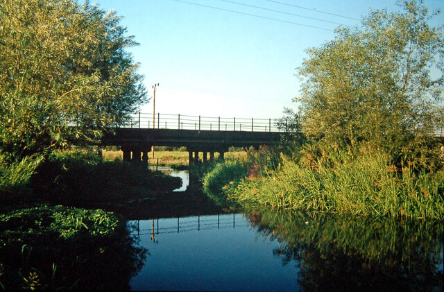
Ringwood is a civil parish located in the county of Hampshire, England. Situated on the eastern bank of the River Avon, it is part of the New Forest District. The town of Ringwood serves as the main center of population within the parish.

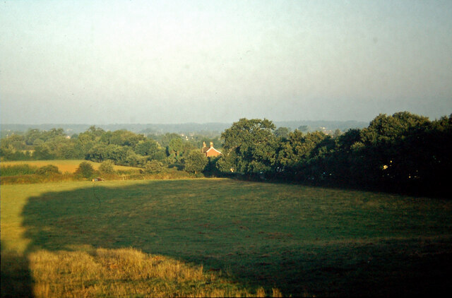
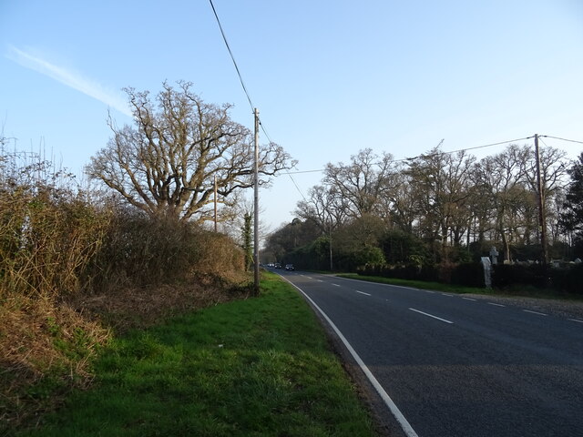
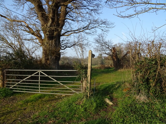
With a history dating back to at least the Anglo-Saxon era, Ringwood has evolved into a thriving market town. Its picturesque location on the edge of the New Forest National Park attracts visitors from far and wide. The parish covers an area of approximately 13 square kilometers and is surrounded by beautiful countryside, making it a popular destination for outdoor enthusiasts.

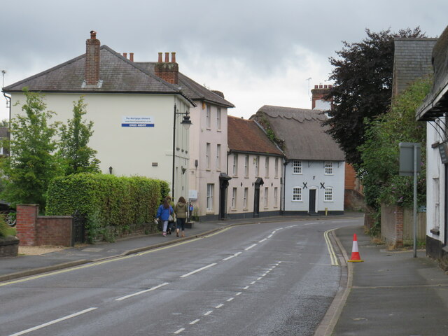
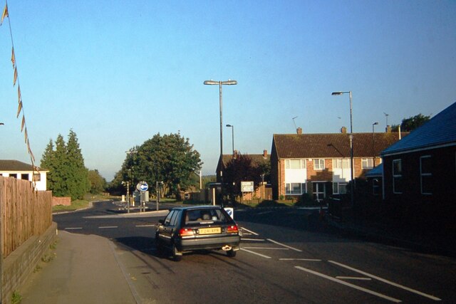
Ringwood offers a range of amenities to both residents and visitors. The town center features a variety of independent shops, cafes, and restaurants, as well as larger chain stores. There are also several supermarkets and a weekly market held in the town square. The parish is well-served by public transportation, with regular bus services connecting to nearby towns and cities.

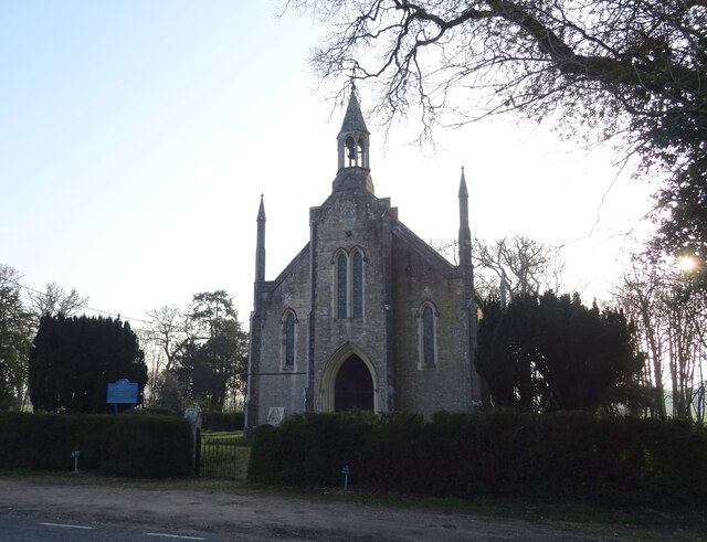
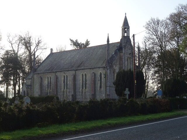
In addition to its natural beauty, Ringwood boasts a rich cultural heritage. The town is home to several historic buildings, including the 13th-century Parish Church of St. Peter and St. Paul. The town also hosts a number of events throughout the year, such as the Ringwood Carnival and the Ringwood Arts Festival, which showcase local talent and bring the community together.

Overall, Ringwood, Hampshire offers a combination of natural charm, historical significance, and modern amenities, making it a desirable place to live or visit.

If you have any feedback on the listing, please let us know in the comments section below.
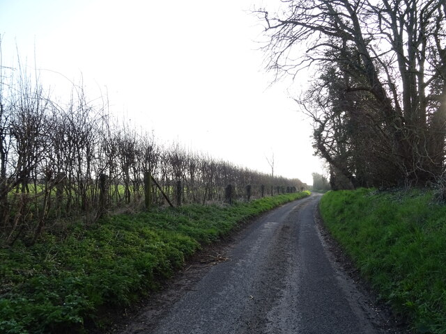
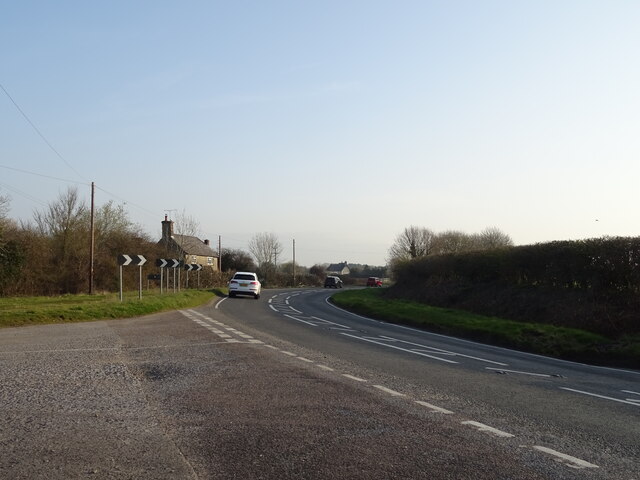
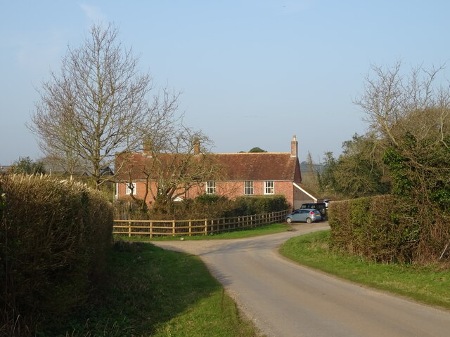
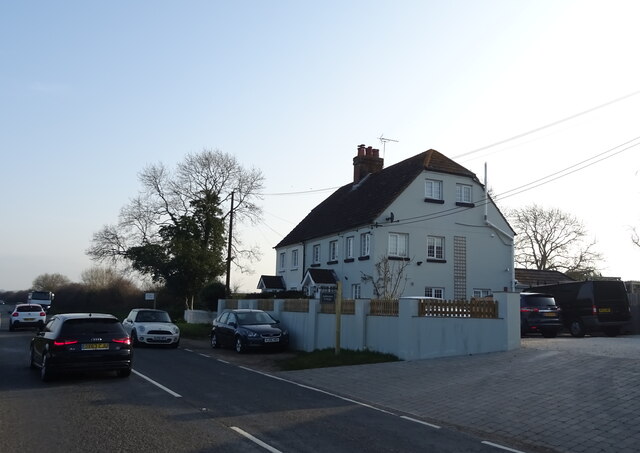
Ringwood Images

Images are sourced within 2km of 50.825647/-1.785055 or Grid Reference SU1502. Thanks to Geograph Open Source API. All images are credited.

Christchurch Road, Ringwood Christchurch Road forms part of the route of the B3347 as it heads out of the town of Ringwood.
Christchurch Road, Ringwood
Christchurch Road forms part of the route of the B3347 as it heads out of the town of Ringwood.
Salvation Army, Ringwood The Salvation Army church in Ringwood, photographed on a damp and gloomy day in August 2021.
Salvation Army, Ringwood
The Salvation Army church in Ringwood, photographed on a damp and gloomy day in August 2021.
Bickerley Millstream, Ringwood Bickerley Millstream is a short branch of the River Avon as it passes through the town of Ringwood in Hampshire.
Bickerley Millstream, Ringwood
Bickerley Millstream is a short branch of the River Avon as it passes through the town of Ringwood in Hampshire.
Castleman Trailway, Ringwood The Castleman Trailway crossing the River Avon in Ringwood using a former railway bridge.
Castleman Trailway, Ringwood
The Castleman Trailway crossing the River Avon in Ringwood using a former railway bridge.
Bickerley Millstream, Ringwood Bickerley Millstream is a branch of the River Avon as it flows through Ringwood in Hampshire.
Bickerley Millstream, Ringwood
Bickerley Millstream is a branch of the River Avon as it flows through Ringwood in Hampshire.
Crow Arch This bridge, known as 'Crow Arch' on the old LSWR 'Castleman's Corkscrew' line near Ringwood is approached by a steeply sloping road on either side - not for the faint-hearted when riding a bike!  Immediately past the bridge, the railway entered Ringwood Goods Yard before reaching the station.
Crow Arch
This bridge, known as 'Crow Arch' on the old LSWR 'Castleman's Corkscrew' line near Ringwood is approached by a steeply sloping road on either side - not for the faint-hearted when riding a bike! Immediately past the bridge, the railway entered Ringwood Goods Yard before reaching the station.
Bickerley railway bridge over The Millstream This is one of three bridges over branches of the River Avon at Ringwood.  It carried the old Brockenhurst to Wimborne railway line over The Millstream.  The bridges were rebuilt with concrete decks in the early 1960's just prior to the closure of the line.  Originally the bridges were built to carry three railway tracks, two for the main line and one for the branch from Ringwood to Christchurch.  The new bridges only carried two tracks, but nowadays carry the 'Castleman Way' footpath.
Bickerley railway bridge over The Millstream
This is one of three bridges over branches of the River Avon at Ringwood. It carried the old Brockenhurst to Wimborne railway line over The Millstream. The bridges were rebuilt with concrete decks in the early 1960's just prior to the closure of the line. Originally the bridges were built to carry three railway tracks, two for the main line and one for the branch from Ringwood to Christchurch. The new bridges only carried two tracks, but nowadays carry the 'Castleman Way' footpath.
View from Charles Copse over Crow The house in the centre of the picture is the photographer's boyhood home, in Barrack Lane.  The bushes in the left centre are where the railway line from Brockenhurst to Ringwood passed.  Behind the trees in the centre is the site of No. 14 Crossing, the keeper's cottage now a pleasant bungalow.
View from Charles Copse over Crow
The house in the centre of the picture is the photographer's boyhood home, in Barrack Lane. The bushes in the left centre are where the railway line from Brockenhurst to Ringwood passed. Behind the trees in the centre is the site of No. 14 Crossing, the keeper's cottage now a pleasant bungalow.
Old railway bridge at Bagnum The abutments of the old railway underbridge at Bagnum still exist but the steel deck was removed when the track was dismantled in the 1960's.  Charles Lane passes through on its way to Charles Farm at the top of the hill and onwards towards Burley.
Old railway bridge at Bagnum
The abutments of the old railway underbridge at Bagnum still exist but the steel deck was removed when the track was dismantled in the 1960's. Charles Lane passes through on its way to Charles Farm at the top of the hill and onwards towards Burley.
Castleman Way The roundabout marks the junction of Castleman Way and Christchurch Road.  Castleman Way is built on the trackbed of the old LSWR main line from Southampton to Dorchester ('Castleman's Corkscrew').  Castleman was a local solicitor who was prominent in the building of the Southampton and Dorchester Railway and later became Chairman of the London and South Western Railway.  There was a level crossing here with a signal box on the right opposite the car.  Long traffic delays used to result when there were shunting movements around Ringwood Station, which was behind the camera position.
Castleman Way
The roundabout marks the junction of Castleman Way and Christchurch Road. Castleman Way is built on the trackbed of the old LSWR main line from Southampton to Dorchester ('Castleman's Corkscrew'). Castleman was a local solicitor who was prominent in the building of the Southampton and Dorchester Railway and later became Chairman of the London and South Western Railway. There was a level crossing here with a signal box on the right opposite the car. Long traffic delays used to result when there were shunting movements around Ringwood Station, which was behind the camera position.
St Paul's Church
St Paul's Church
St Paul's Church
St Paul's Church
B3347 towards Kingston
Footpath off the B3347
Dragon Lane
Dragon Lane
Bend in the B3347, Kingston
Cottages, Kingston
Cottages, Kingston
Cottages on Christchurch Road
Show me another place!

Ringwood is located at Grid Ref: SU1502 (Lat: 50.825647, Lng: -1.785055)

Administrative County: Hampshire

District: New Forest

Police Authority: Hampshire

What 3 Words

///impeached.octopus.underline. Near Ringwood, Hampshire

Nearby Locations

Ringwood Kingston

Related Wikis

RAF Bisterne

Royal Air Force Bisterne or more simply RAF Bisterne is a former Royal Air Force Advanced Landing Ground in Hampshire, England. The airfield is located...

Ringwood Town F.C.

Ringwood Town F.C. is a football club based in Ringwood, Hampshire, England. The club is affiliated to the Hampshire Football Association, and is a FA...

Sandford, Hampshire

Sandford is a small hamlet in the New Forest National Park of Hampshire, England. The nearest town to Sandford is Ringwood, which is approximately 2.6...

Bisterne

Bisterne is a hamlet in the civil parish of Ringwood in the New Forest National Park in Hampshire, England. Its nearest town is Ringwood, which lies 3...

Avon Lodge railway station

Avon Lodge was a private untimetabled railway station in the county of Hampshire (now Dorset), opened on 13 November 1862 by the Ringwood, Christchurch...

Ringwood railway station

Ringwood is a closed railway station in the county of Hampshire, England which served the town of Ringwood. It lay on the former Southampton and Dorchester...

Bagnum

Bagnum is a hamlet in the English county of Hampshire. The settlement is within the civil parish of Ringwood (where the 2011 Census was included), and...

Crow, Hampshire

Crow is a small village situated in the New Forest National Park in Hampshire, England. Its nearest town is Ringwood, which lies approximately 1 mile...

Nearby Amenities

Located within 500m of 50.825647,-1.785055
Barrier: stile
Lat/Long: 50.8224351/-1.7896226
Barrier: stile
Lat/Long: 50.8232747/-1.7897019
Kingston Villas
Naptan AtcoCode: 1900HA080967
Naptan Bearing: N
Naptan BusStopType: CUS
Naptan CommonName: Kingston Villas
Naptan Landmark: Opp Eden
Naptan NaptanCode: hamadjdj
Naptan Street: Christchurch Road
Naptan Verified: no
Source: naptan_import
Lat/Long: 50.8235899/-1.7858889
Bus Stop
Kingston Villas
Bus: yes
Naptan AtcoCode: 1900HA080968
Naptan Bearing: S
Naptan CommonName: Kingston Villas
Naptan Landmark: O/s Eden
Naptan NaptanCode: hamadjdm
Naptan Street: Christchurch Road
Naptan Verified: no
Source: naptan_import
Lat/Long: 50.8235717/-1.7858038
Bus Stop
Avonvale Cottages
Bus: yes
Naptan AtcoCode: 1900HA080969
Naptan Bearing: NE
Naptan CommonName: Avonvale Cottages
Naptan Landmark: O/s no 1
Naptan NaptanCode: hamadjgp
Naptan Street: B3347 Christchurch Road
Naptan Verified: no
Source: naptan_import
Lat/Long: 50.8263022/-1.783974
Avonvale Cottages
Naptan AtcoCode: 1900HA080970
Naptan Bearing: SW
Naptan BusStopType: CUS
Naptan CommonName: Avonvale Cottages
Naptan Landmark: Opp no 1
Naptan NaptanCode: hamadjgw
Naptan Street: B3347 Christchurch Road
Naptan Verified: no
Source: naptan_import
Lat/Long: 50.826275/-1.7838747
Barrier: cattle_grid
Lat/Long: 50.823325/-1.7868939
Barrier: cattle_grid
Lat/Long: 50.8297467/-1.7828278
Barrier: yes
Lat/Long: 50.8236105/-1.7868221
Kingston
Place: hamlet
Lat/Long: 50.8215003/-1.7869154
Man Made: utility_pole
Lat/Long: 50.8269856/-1.7866495
Man Made: utility_pole
Lat/Long: 50.8268721/-1.786072
The data included in this document is from www.openstreetmap.org. The data is made available under ODbL.

Have you been to Ringwood?

Leave your review of Ringwood below (or comments, questions and feedback).