Brundall
Settlement in Norfolk Broadland
England
Brundall
Brundall is a picturesque village located in the English county of Norfolk. Situated on the northern bank of the River Yare, it lies approximately 7 miles east of Norwich, the county town. With a population of around 4,000 residents, Brundall is a vibrant and close-knit community.
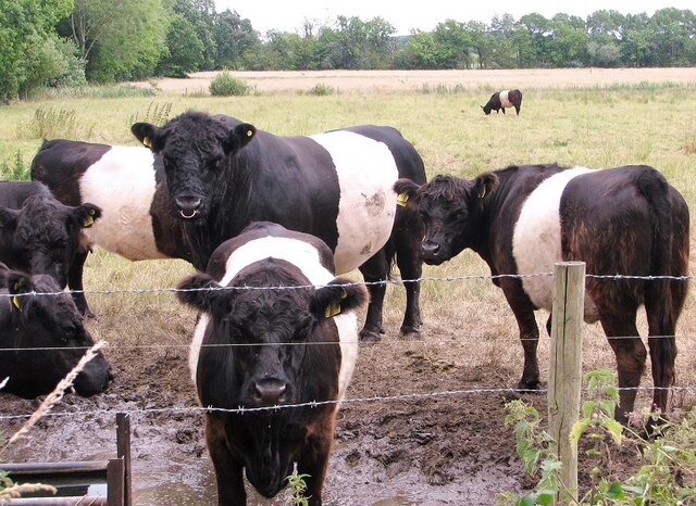
The village boasts a rich history, dating back to the Domesday Book in 1086. It was predominantly an agricultural settlement, with farming playing a significant role in its economy. Today, Brundall retains its rural charm, offering a peaceful and idyllic setting for its inhabitants.
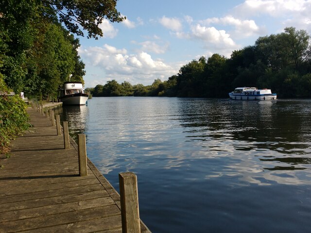
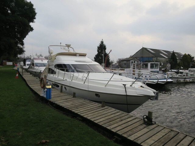
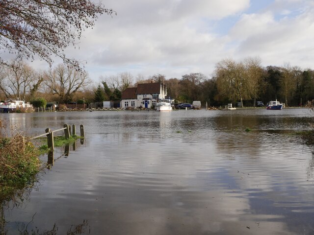
One of Brundall's main attractions is its stunning natural surroundings. The village is surrounded by beautiful countryside, including the nearby Brundall Gardens and Brundall Woods, which provide ample opportunities for outdoor activities such as walking, cycling, and birdwatching. The River Yare also offers a range of water-based activities, including boating and fishing.
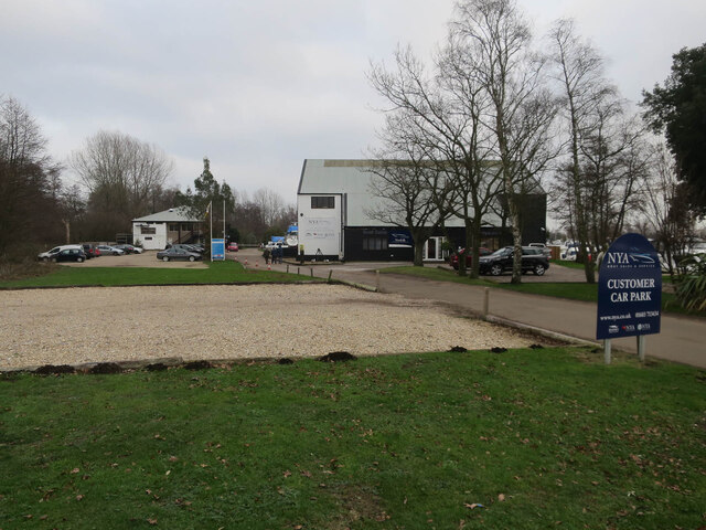
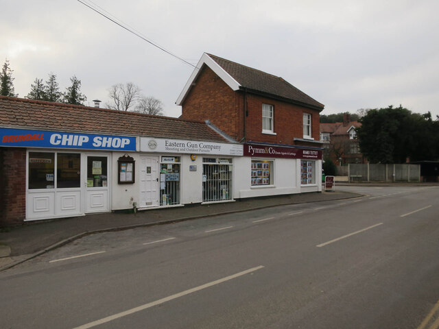
Brundall has a thriving local economy, with a variety of small businesses, shops, and services catering to the needs of its residents. The village has a primary school, a medical center, and several pubs and restaurants, providing essential amenities for its inhabitants. Additionally, Brundall benefits from excellent transport links, with a train station connecting it to Norwich and the wider region.
Overall, Brundall is a delightful village, offering a harmonious blend of natural beauty, community spirit, and modern conveniences. Its rich history, stunning landscapes, and welcoming atmosphere make it an attractive place to live and visit.
If you have any feedback on the listing, please let us know in the comments section below.
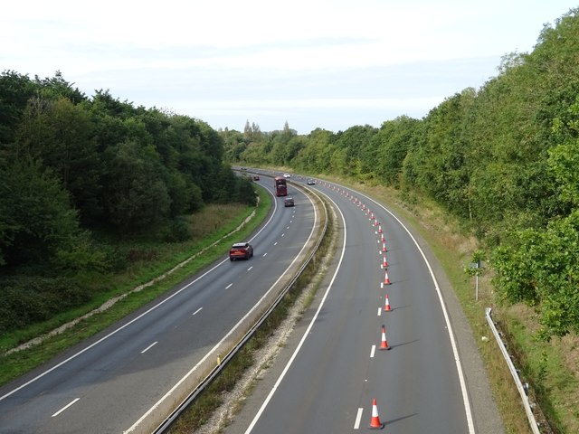
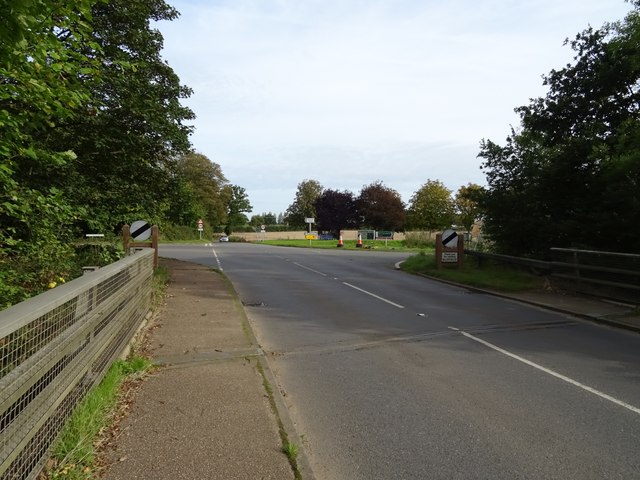
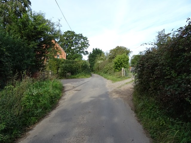
Brundall Images
Images are sourced within 2km of 52.624283/1.432967 or Grid Reference TG3208. Thanks to Geograph Open Source API. All images are credited.


Brundall is located at Grid Ref: TG3208 (Lat: 52.624283, Lng: 1.432967)
Administrative County: Norfolk
District: Broadland
Police Authority: Norfolk
What 3 Words
///cups.progress.hamsters. Near Brundall, Norfolk
Nearby Locations
Related Wikis

Brundall
Brundall is a village and civil parish in the English county of Norfolk. It is located on the north bank of the River Yare opposite Surlingham Broad and...
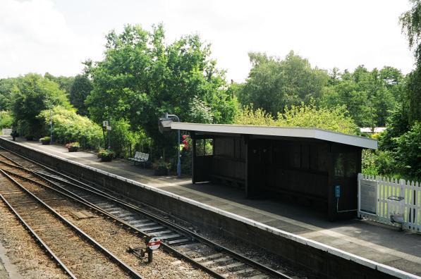
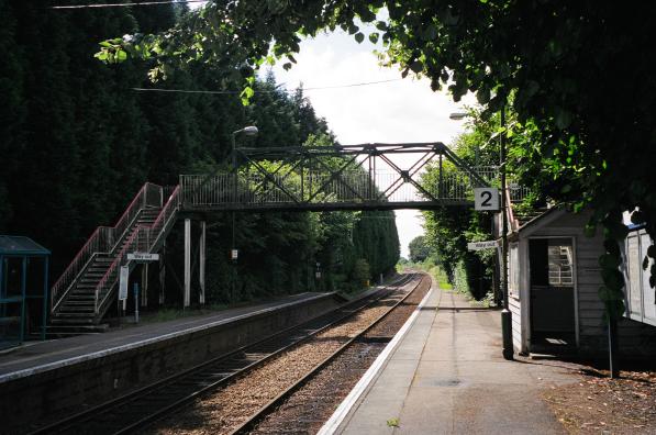
Brundall railway station
Brundall railway station is on the Wherry Lines in the east of England, serving the village of Brundall, Norfolk. It is 5 miles 60 chains (9.3 km) down...
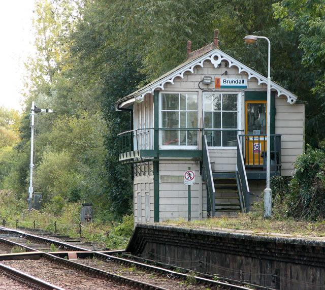
Brundall signal box
Brundall signal box is a Grade II listed former Great Eastern Railway signal box on Brundall railway station in Norfolk, England. Located on the Wherry...
Brundall Gardens railway station
Brundall Gardens railway station is on the Wherry Lines in the East of England, serving the western side of the village of Brundall, Norfolk. It is 4 miles...

Blofield
Blofield is a village and civil parish in the Broadland district of Norfolk, England. The parish includes Blofield and the hamlets of Blofield Heath and...

Lesingham House
Lesingham House is a country house in Surlingham, Norfolk, England, part of which was supposedly built in 1655. == History == Lesingham House was supposedly...
Postwick with Witton
Postwick with Witton ( ) is a civil parish on the Broads in the English county of Norfolk, comprising the two adjacent villages of Postwick and Witton...
Norwich United F.C.
Norwich United Football Club is a football club based in Blofield, Norfolk, England. Affiliated to the Norfolk County FA, they play at Plantation Park...
Nearby Amenities
Located within 500m of 52.624283,1.432967Have you been to Brundall?
Leave your review of Brundall below (or comments, questions and feedback).