Brund

Settlement in Staffordshire Staffordshire Moorlands

England

Brund

Hollow Farm
Hollow Farm Credit: Peter Barr

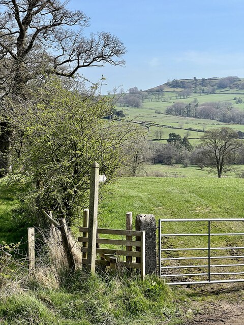
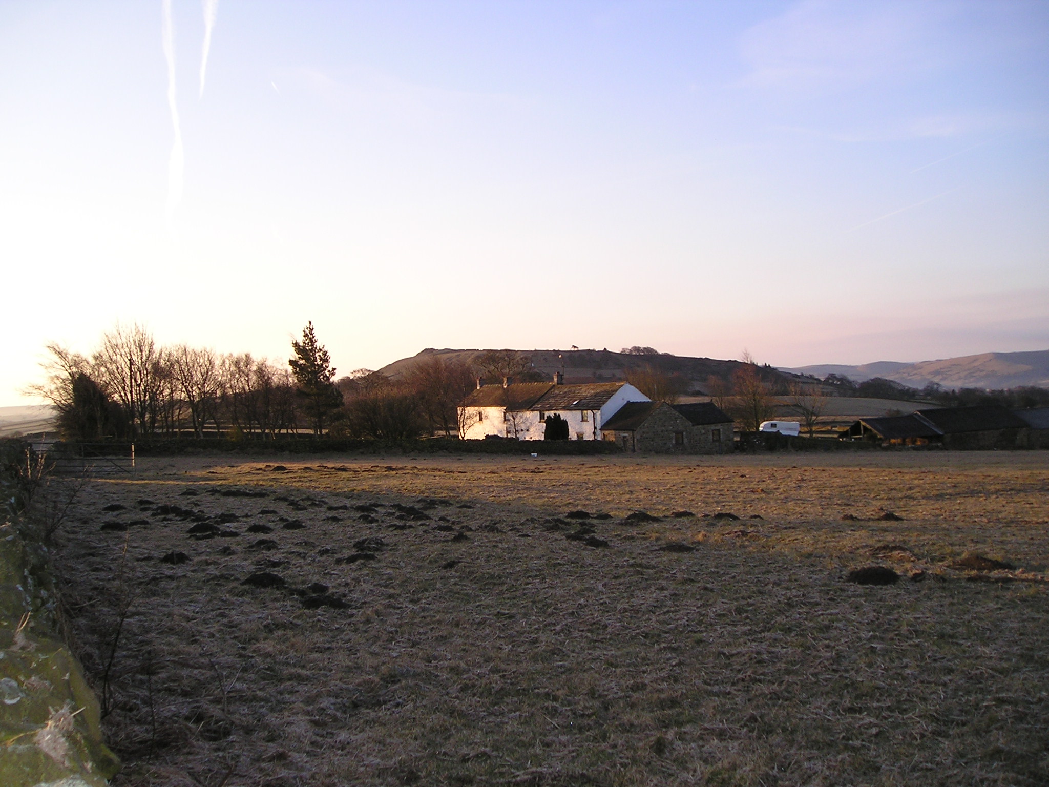
Brund is a small village located in the county of Staffordshire, England. Situated in the West Midlands region, it lies approximately 8 miles northeast of the county town of Stafford. Brund is nestled in a rural landscape, surrounded by picturesque countryside and rolling hills.

The village boasts a rich history, with evidence of human settlement dating back to the Bronze Age. Today, Brund retains its rural charm and tranquility, making it an ideal retreat for those seeking a peaceful escape from the bustling city life.

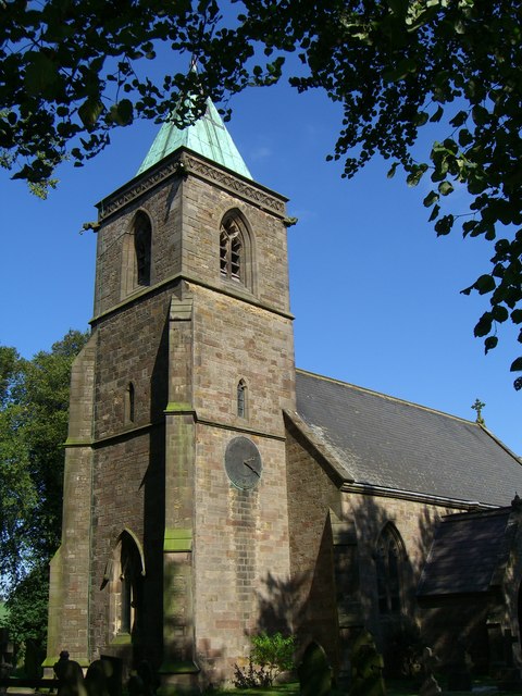
One of the prominent landmarks in Brund is the St. Peter's Church, a beautiful medieval church dating back to the 13th century. It is known for its stunning architectural features, including a Norman font and a 15th-century tower. The church serves as a focal point for the village community, hosting regular religious services as well as various events throughout the year.

Brund is also home to a small but tight-knit community, with a population of around 500 residents. The village boasts a primary school, providing education to local children, and a village hall that serves as a social hub for community gatherings and events.

In terms of amenities, Brund has limited facilities, with a small local shop catering to basic needs. However, residents have easy access to nearby towns and cities for a wider range of amenities and services.

Overall, Brund offers a peaceful and idyllic setting, making it an attractive place to live for those seeking a rural lifestyle in Staffordshire.

If you have any feedback on the listing, please let us know in the comments section below.
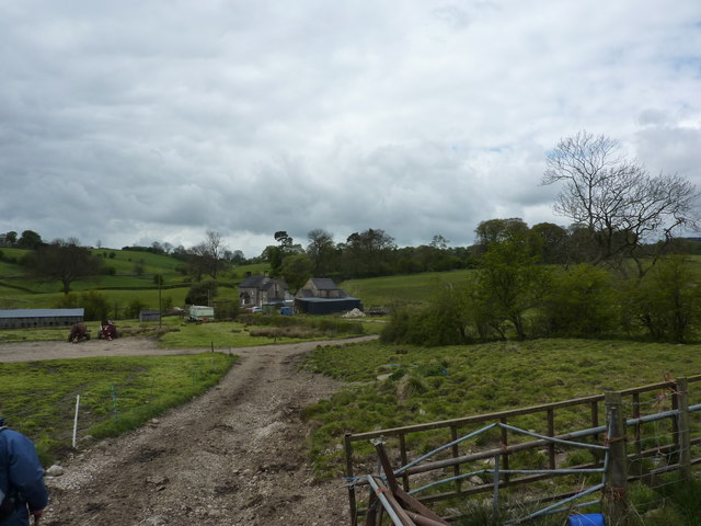
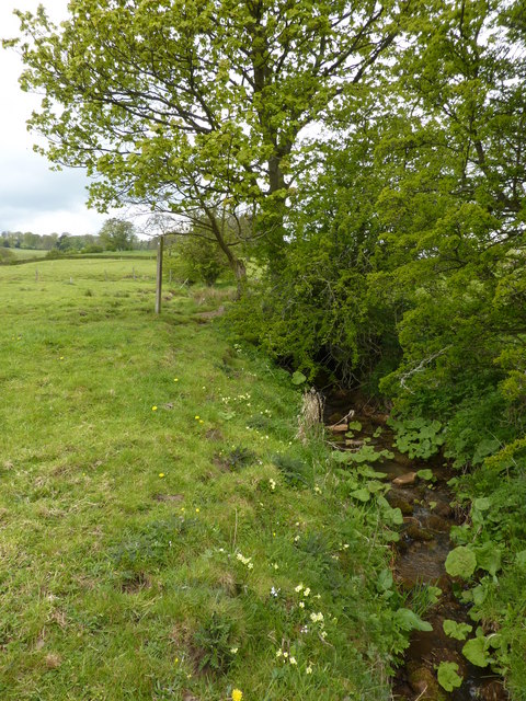
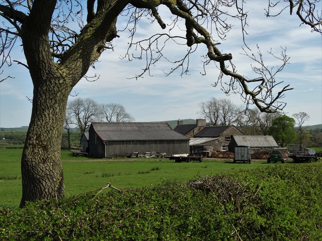
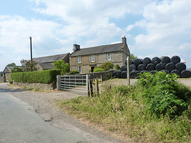
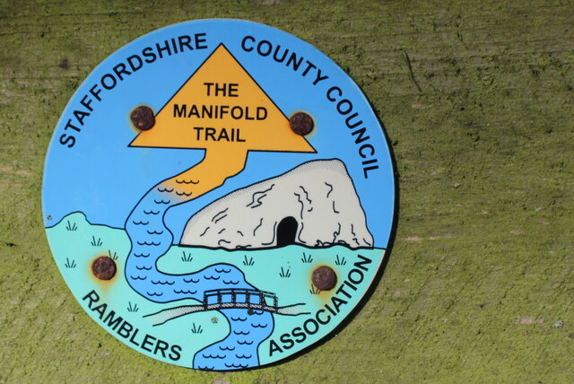
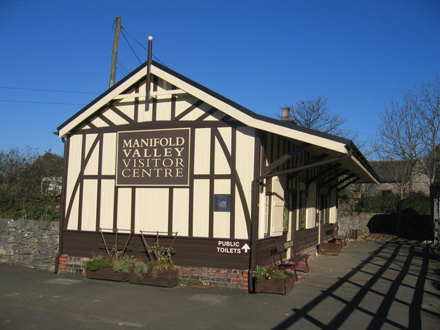
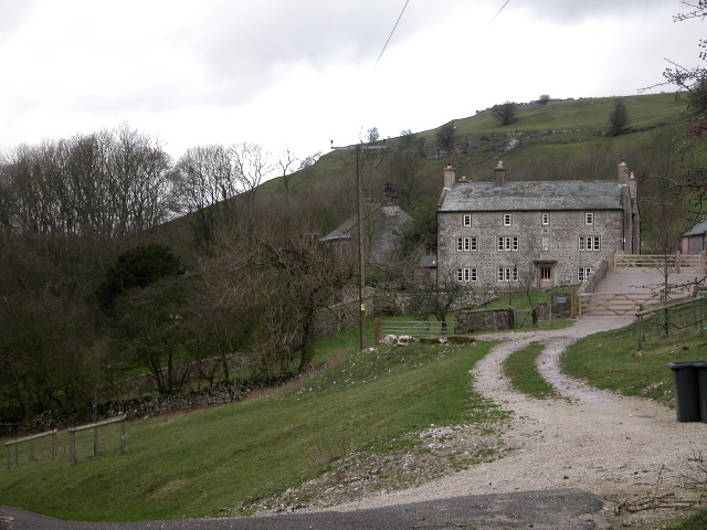
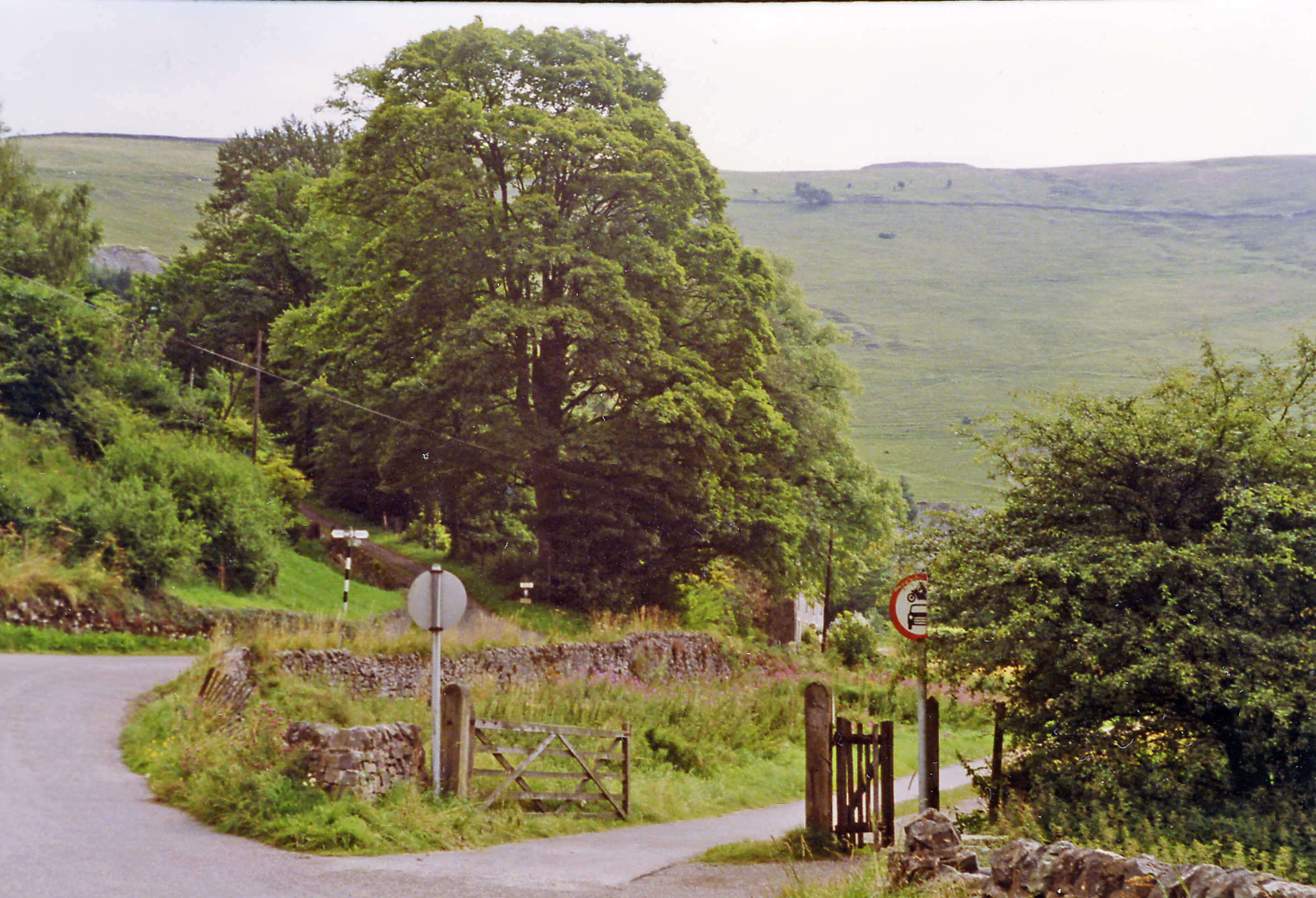
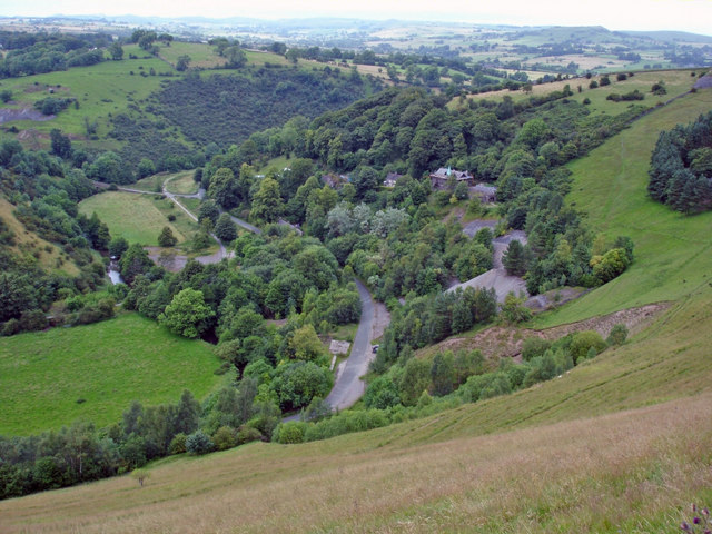
Brund Images

Images are sourced within 2km of 53.14738/-1.848507 or Grid Reference SK1061. Thanks to Geograph Open Source API. All images are credited.

Hollow Farm
Hollow Farm
Primrose bank Small stream, a tributary of the Manifold, with primroses and other wild flowers.
Primrose bank
Small stream, a tributary of the Manifold, with primroses and other wild flowers.
Manor Farm at Haysgate
Manor Farmhouse A large farmhouse just outside Hayesgate, complete with a pile of silage bales ready for winter feed.
Manor Farmhouse
A large farmhouse just outside Hayesgate, complete with a pile of silage bales ready for winter feed.
At the entrance to Hayes Gate Farm On the road just NW of Hayesgate, the track on the right here leads to Hayes Gate Farm
At the entrance to Hayes Gate Farm
On the road just NW of Hayesgate, the track on the right here leads to Hayes Gate Farm
Manifold Trail heading North away from the Hamlet of Brund The section of this long distance footpath from Brund to Longnor is pretty difficult to say the least - a procession of soggy pastures, the juices of which threaten to overwhelm all footwear save wellingtons and bogtrotters.
Manifold Trail heading North away from the Hamlet of Brund
The section of this long distance footpath from Brund to Longnor is pretty difficult to say the least - a procession of soggy pastures, the juices of which threaten to overwhelm all footwear save wellingtons and bogtrotters.
Manifold Trail Logo Plastic disc directional signs for the Manifold Trail
Manifold Trail Logo
Plastic disc directional signs for the Manifold Trail
River Manifold between Brund and Longnor Long Distance Footpath that starts at Manifold Head near the village of Flash, following the river downstream through Longnor, Brund, Hulme End, Ilam to its confluence with the River Dove - a distance of 23 miles.
River Manifold between Brund and Longnor
Long Distance Footpath that starts at Manifold Head near the village of Flash, following the river downstream through Longnor, Brund, Hulme End, Ilam to its confluence with the River Dove - a distance of 23 miles.
Section of the Manifold Trail between Brund and Longnor Just south of Pool Farm. This section is particularly disappointing, being an uncomfortable soggy trudge over a succession of rutted pastures.
Section of the Manifold Trail between Brund and Longnor
Just south of Pool Farm. This section is particularly disappointing, being an uncomfortable soggy trudge over a succession of rutted pastures.
Pool Farm The Manifold Trail long distance footpath passes to the left of the farm
Pool Farm
The Manifold Trail long distance footpath passes to the left of the farm
Ridge End Farm Passed by on the Manifold Trail long distance footpath between Brund and Longnor.
Ridge End Farm
Passed by on the Manifold Trail long distance footpath between Brund and Longnor.
Outbuildings at Ridge End Farm One hale and hearty, - the other smaller one is in ruinous condition
Outbuildings at Ridge End Farm
One hale and hearty, - the other smaller one is in ruinous condition
The Manifold Trail north of Brund Our walk along Tom Lawton's circa 110 mile route 'Walking Around the Peak District' (Brockhampton Press, 1998) has now re-joined the Manifold Trail.
The Manifold Trail north of Brund
Our walk along Tom Lawton's circa 110 mile route 'Walking Around the Peak District' (Brockhampton Press, 1998) has now re-joined the Manifold Trail.
The Manifold Trail alongside the River Manifold Long Distance Footpath that starts at Manifold Head near the village of Flash, following the river downstream through Longnor, Brund, Hulme End, Ilam to its confluence with the River Dove - a distance of 23 miles.
The Manifold Trail alongside the River Manifold
Long Distance Footpath that starts at Manifold Head near the village of Flash, following the river downstream through Longnor, Brund, Hulme End, Ilam to its confluence with the River Dove - a distance of 23 miles.
A 'squeeze stile' on the Manifold Trail The dominant style of stile in this area
A 'squeeze stile' on the Manifold Trail
The dominant style of stile in this area
Towards Ludburn The stile and footpath towards Ludburn.
Towards Ludburn
The stile and footpath towards Ludburn.
Country Lane The lane near The Low.
Country Lane
The lane near The Low.
Tractors lined up for sale The farm tractors soon to be auctioned.
Tractors lined up for sale
The farm tractors soon to be auctioned.
Show me another place!

Brund is located at Grid Ref: SK1061 (Lat: 53.14738, Lng: -1.848507)

Administrative County: Staffordshire

District: Staffordshire Moorlands

Police Authority: Staffordshire

What 3 Words

///gobblers.compress.intro. Near Newhaven, Derbyshire

Nearby Locations

Sheen Brund

Related Wikis

Church of St Luke, Sheen, Staffordshire

The Church of St Luke, Sheen, Staffordshire is a Grade II* listed Anglican church. Its origins are of the 14th century, but it was largely rebuilt in the...

Sheen, Staffordshire

Sheen is a village and civil parish in north-east Staffordshire, England. The parish is about 3.5 miles (5.6 km) north to south and about 2 miles (3.2...

Hulme End

Hulme End () is a small hamlet in Staffordshire, England. It is located in the Peak District National Park about 10 miles north of Ashbourne. A natural...

Hulme End railway station

Hulme End railway station is a disused railway station in Staffordshire, England. The station was the terminus of the 2 ft 6 in (762 mm) Leek and Manifold...

Pilsbury

Pilsbury is a hamlet in the English county of Derbyshire, approximately 2 miles north of Hartington. It is on the side of the valley of the River Dove...

Hartington, Derbyshire

Hartington is a village in the centre of the White Peak area of the Derbyshire Peak District, England, lying on the River Dove which is the Staffordshire...

Ecton railway station

Ecton railway station was a station on the Leek and Manifold Light Railway. It served the hamlet of Ecton, Staffordshire. Today, the site is now part of...

Ecton, Staffordshire

Ecton is a hamlet in the Staffordshire Peak District (grid reference SK096584). It is on the Manifold Way, an 8-mile (13 km) walk and cycle path that follows...

Nearby Amenities

Located within 500m of 53.14738,-1.848507
Barrier: stile
Foot: yes
Lat/Long: 53.1505203/-1.8493491
Barrier: stile
Foot: yes
Lat/Long: 53.1509777/-1.8464297
Barrier: stile
Foot: yes
Material: stone
Source: survey;bing
Stile: stepover
Lat/Long: 53.1499289/-1.8520245
Barrier: stile
Foot: yes
Material: stone
Source: survey;gps
Stile: squeezer
Lat/Long: 53.149684/-1.8521443
Barrier: stile
Foot: yes
Lat/Long: 53.1508622/-1.8471171
Barrier: stile
Foot: yes
Lat/Long: 53.1506844/-1.8482323
Barrier: stile
Foot: yes
Material: stone
Source: survey;gps
Stile: stepover
Lat/Long: 53.1488136/-1.8498283
Barrier: stile
Foot: yes
Lat/Long: 53.1486239/-1.8552909
Barrier: stile
Foot: yes
Lat/Long: 53.1510496/-1.8457022
Barrier: stile
Source: survey
Lat/Long: 53.1499005/-1.8528076
Barrier: stile
Material: stone
Source: survey
Stile: squeezer
Lat/Long: 53.1454781/-1.8474128
Barrier: entrance
Source: survey;gps
Lat/Long: 53.1499575/-1.8522507
Barrier: stile
Material: stone
Source: survey;gps
Stile: stepover
Lat/Long: 53.1443461/-1.8463202
Brund
Place: locality
Lat/Long: 53.1475818/-1.8488314
Barrier: stile
Material: stone
Source: survey;gps
Stile: stepover
Lat/Long: 53.1492184/-1.8470208
Barrier: stile
Material: stone
Source: survey;gps
Stile: stepover
Lat/Long: 53.1493499/-1.8463626
Barrier: stile
Material: stone
Source: survey;gps
Stile: stepover
Lat/Long: 53.1495301/-1.8459905
Barrier: stile
Material: wood
Source: survey;gps
Stile: stepover
Lat/Long: 53.149816/-1.8451198
Barrier: stile
Material: stone
Source: survey;gps
Stile: stepover
Lat/Long: 53.150079/-1.8450365
Barrier: stile
Material: stone
Source: survey;gps
Stile: stepover
Lat/Long: 53.1482957/-1.8447163
Natural: spring
Lat/Long: 53.1445893/-1.8459704
The data included in this document is from www.openstreetmap.org. The data is made available under ODbL.

Have you been to Brund?

Leave your review of Brund below (or comments, questions and feedback).