Ramsgate
Civil Parish in Kent Thanet
England
Ramsgate
Ramsgate, located in the county of Kent, England, is a civil parish with a rich history and vibrant present. Situated along the eastern coast of the Isle of Thanet, it is part of the larger district of Thanet and is approximately 78 miles southeast of London. The town has a population of around 40,000 residents.
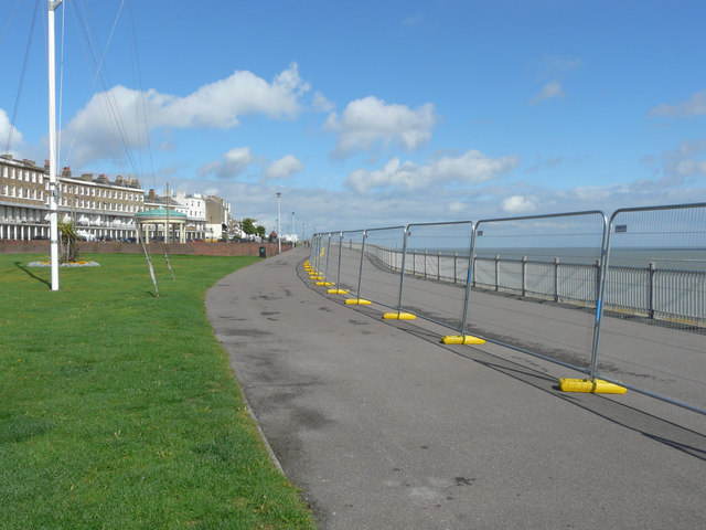
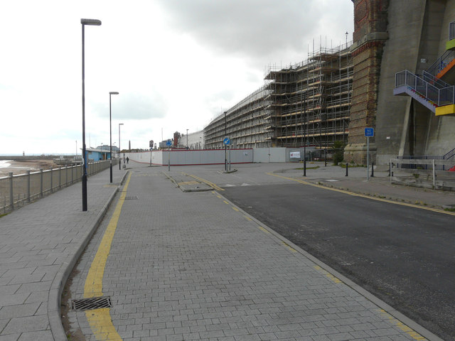
Ramsgate is known for its stunning coastline and beautiful sandy beaches, making it a popular tourist destination. The town's marina, one of the largest in the country, attracts many sailing enthusiasts and has been a significant contributor to Ramsgate's economy. The Royal Harbour, dating back to the 18th century, is a focal point and offers a picturesque setting with a range of restaurants, pubs, and cafes overlooking the water.
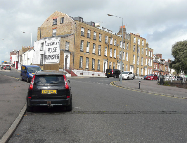
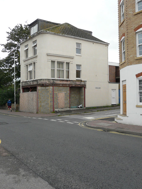
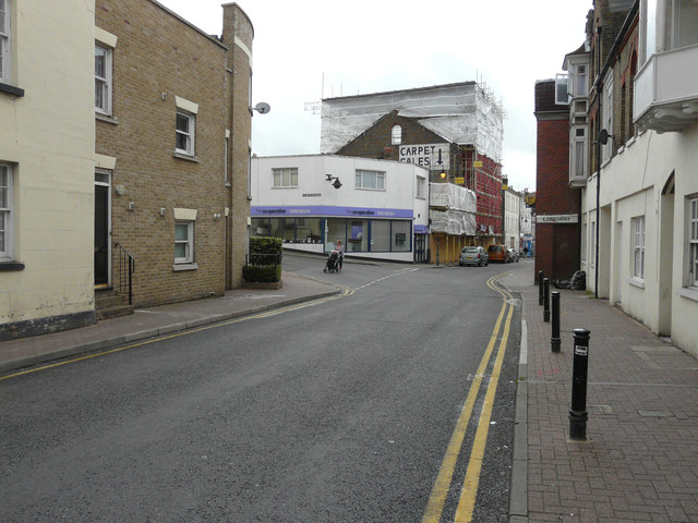
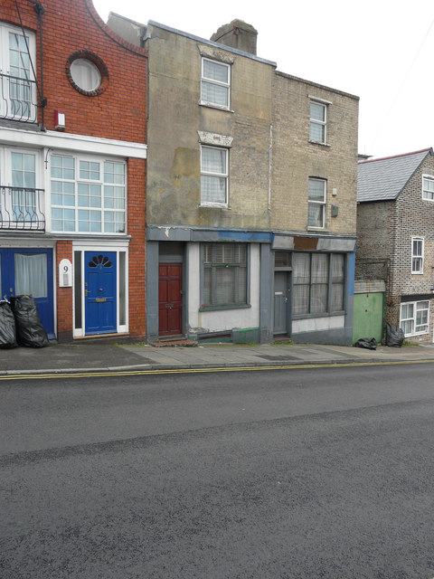
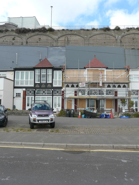
Historically, Ramsgate played a significant role as a port and a haven for sailors. It was a crucial embarkation point for the Dunkirk evacuation during World War II. The town retains much of its historic charm, with numerous Georgian and Victorian buildings, including the iconic Ramsgate Clock House and the Granville Theatre.
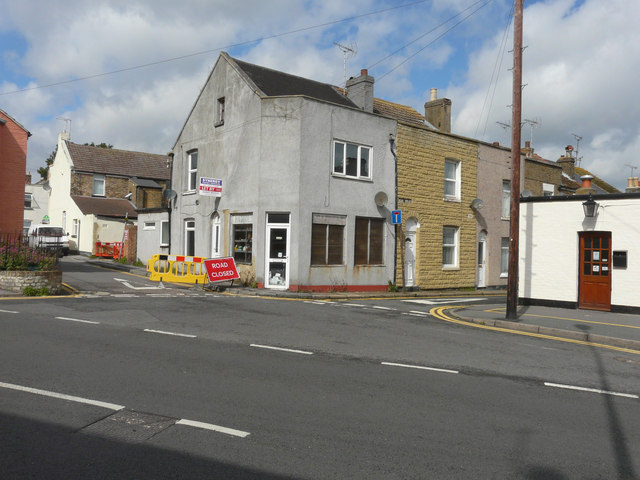
Ramsgate offers a range of amenities and attractions, including a bustling town center with a variety of shops, restaurants, and entertainment venues. The town also has several schools, both primary and secondary, serving the local population.
Overall, Ramsgate is a vibrant coastal town with a rich maritime history, offering beautiful beaches, a picturesque harbor, and a range of amenities for visitors and residents alike.
If you have any feedback on the listing, please let us know in the comments section below.
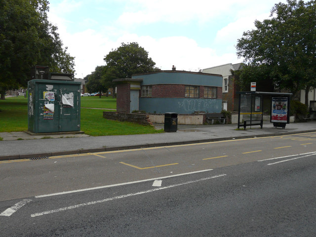
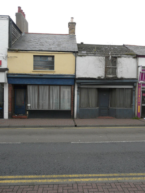
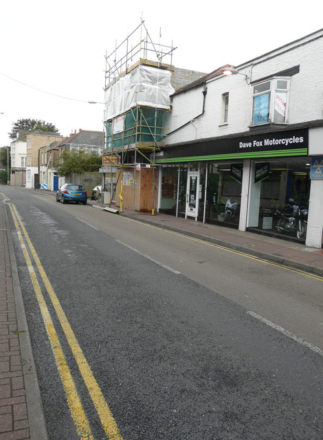
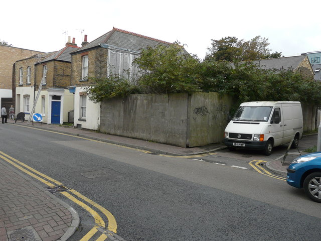
Ramsgate Images
Images are sourced within 2km of 51.338224/1.405855 or Grid Reference TR3765. Thanks to Geograph Open Source API. All images are credited.
Ramsgate is located at Grid Ref: TR3765 (Lat: 51.338224, Lng: 1.405855)
Administrative County: Kent
District: Thanet
Police Authority: Kent
What 3 Words
///badly.zest.donor. Near Ramsgate, Kent
Nearby Locations
Related Wikis
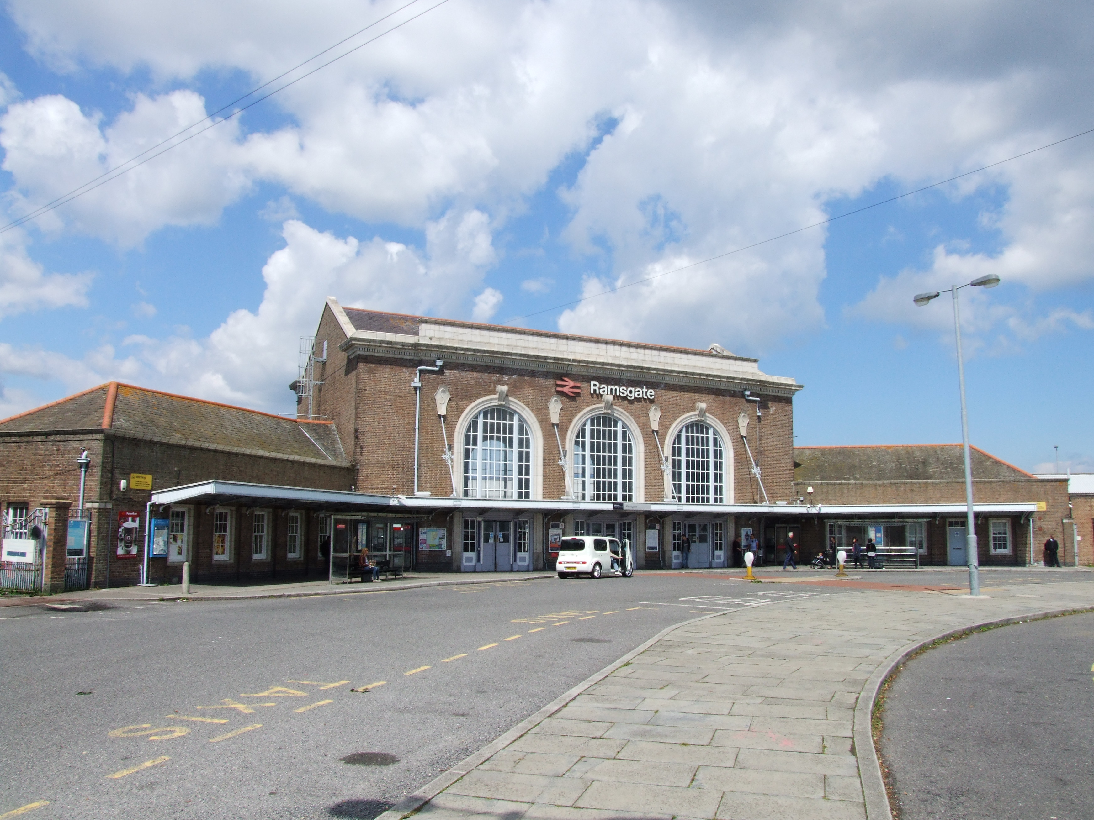
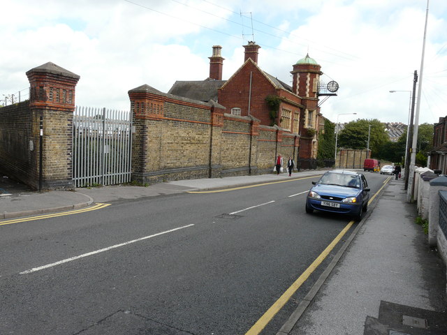
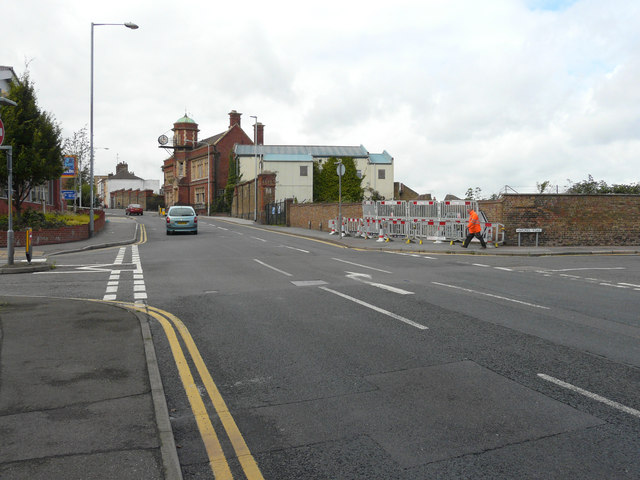
Ramsgate railway station
Ramsgate railway station serves the town of Ramsgate in Thanet in Kent, England. The station lies on the Chatham Main Line, 79 miles 21 chains (127.6 km...
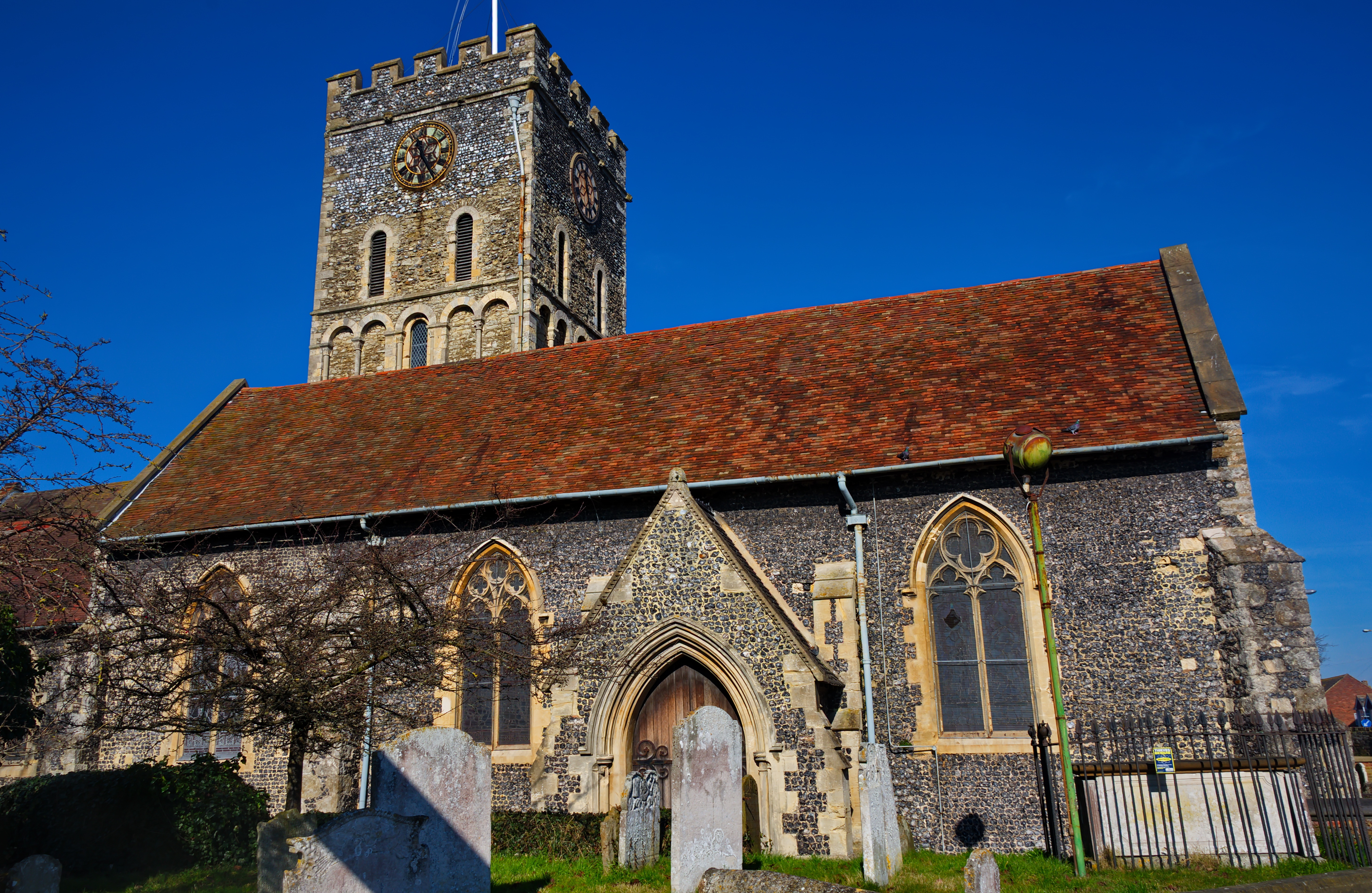
St Laurence's Church, Ramsgate
St Laurence's Church, also known as St Laurence-in-Thanet, is a Church of England parish church in Ramsgate, Thanet, Kent. == History == The church, founded...
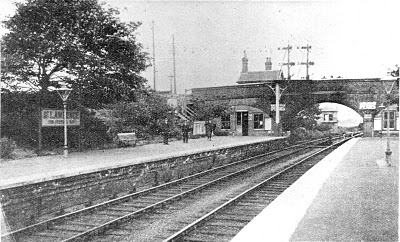
St Lawrence for Pegwell Bay railway station
St Lawrence for Pegwell Bay railway station was a railway station at Ramsgate, Kent, England that was opened by the South Eastern Railway in 1864 and closed...
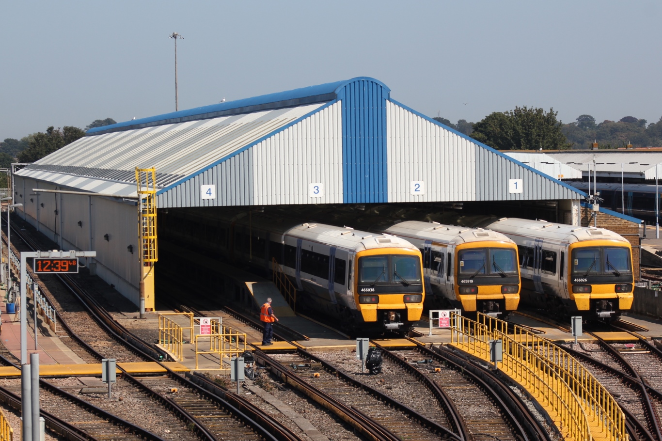
Ramsgate EMUD
Ramsgate EMUD is a traction maintenance depot located in Ramsgate, Kent, England. The depot is situated on the Chatham Main Line and is immediately northwest...
Nearby Amenities
Located within 500m of 51.338224,1.405855Have you been to Ramsgate?
Leave your review of Ramsgate below (or comments, questions and feedback).