Ramsey and Parkeston

Civil Parish in Essex Tendring

England

Ramsey and Parkeston

Carpet of Bluebells, Stour Wood, Ramsey Part of the RSPB's Stour Estuary nature reserve: <span class="nowrap"><a title="https://www.rspb.org.uk/reserves-and-events/reserves-a-z/stour-estuary/" rel="nofollow ugc noopener" href="https://www.rspb.org.uk/reserves-and-events/reserves-a-z/stour-estuary/">Link</a><img style="margin-left:2px;" alt="External link" title="External link - shift click to open in new window" src="https://s1.geograph.org.uk/img/external.png" width="10" height="10"/></span>

See also <a href="https://www.geograph.org.uk/photo/7156261">TM1931 : Bluebells in Stour Wood, RSPB, Ramsey</a> for a closer view of the bluebells.
Carpet of Bluebells, Stour Wood, Ramsey Credit: Roger Jones

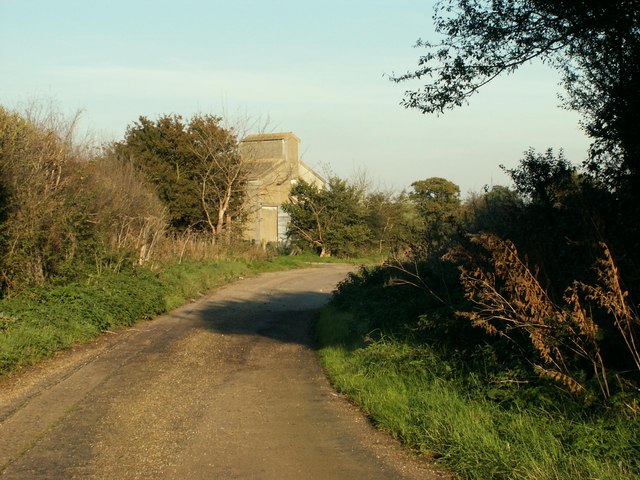
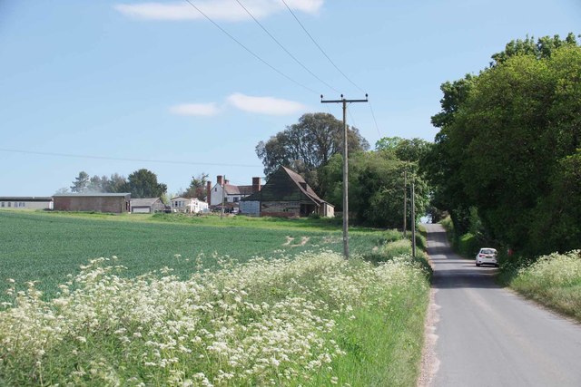
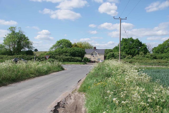
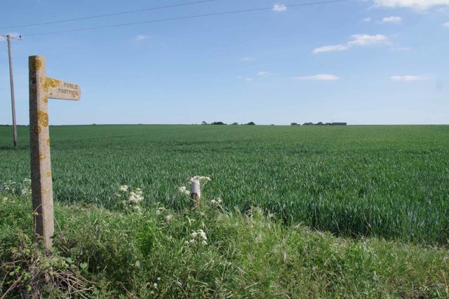
Ramsey and Parkeston is a civil parish located in the county of Essex, England. Situated near the town of Harwich, it covers an area of approximately 10 square kilometers and has a population of around 3,000 residents. The parish is known for its rich history and scenic landscapes.

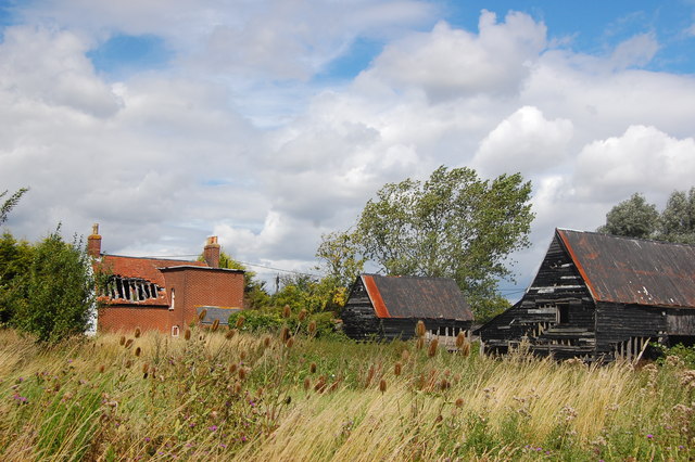
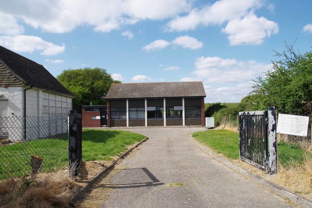
Ramsey and Parkeston is divided into two distinct areas: Ramsey and Parkeston Quay. Ramsey, the larger of the two, is a residential village with a traditional English countryside feel. It features a range of housing types, including cottages and modern homes, as well as a few local amenities such as a post office, village hall, and a primary school.

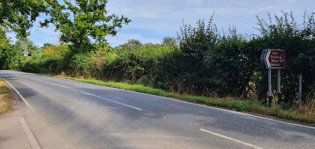
Parkeston Quay, on the other hand, is a small port area located on the River Stour. Historically, it served as an important hub for maritime trade and was once home to a bustling railway station. Today, the area still retains its maritime character, with a small marina and a ferry terminal connecting Harwich to the Hook of Holland in the Netherlands.

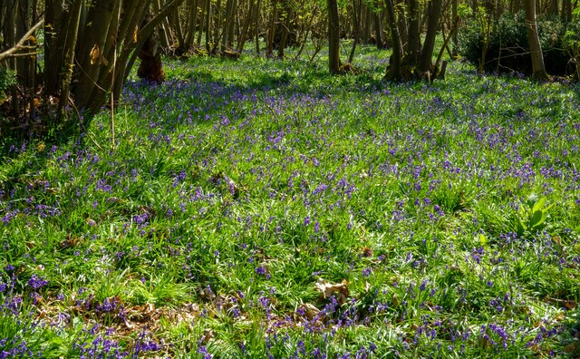
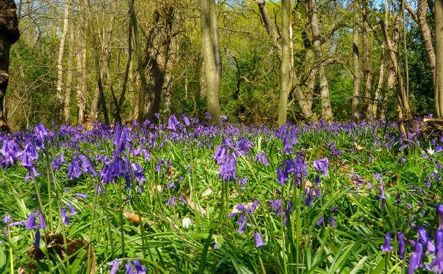
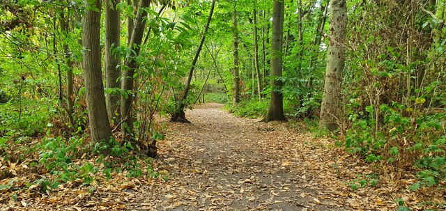
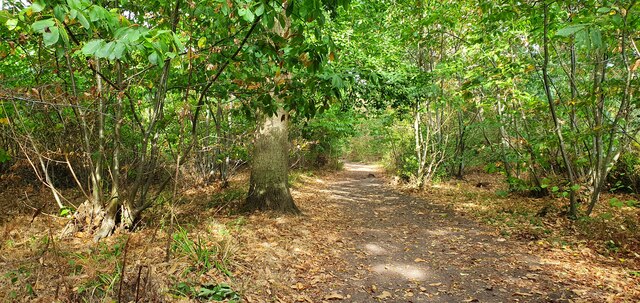
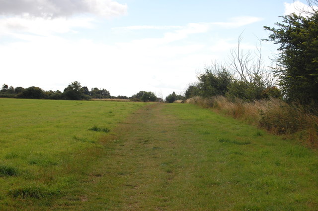
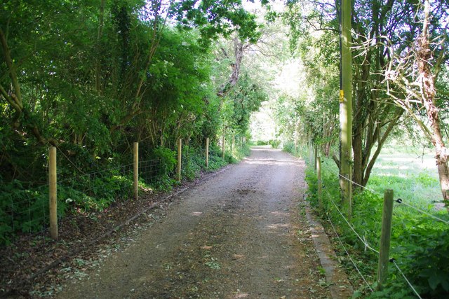
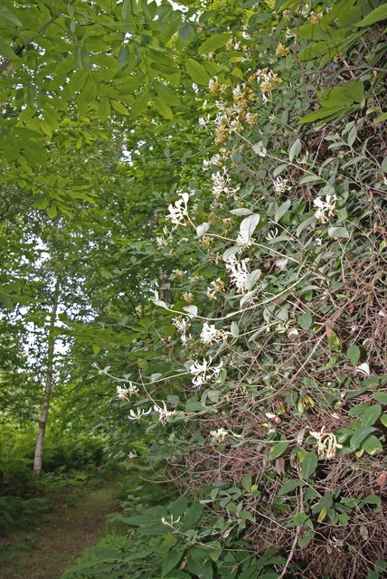
The parish is surrounded by picturesque countryside, making it an ideal location for outdoor enthusiasts. The nearby Dovercourt Bay offers beautiful sandy beaches and is a popular spot for swimming, sailing, and fishing. The area is also home to several nature reserves, providing opportunities for wildlife observation and nature walks.

Overall, Ramsey and Parkeston is a charming civil parish that offers a mix of rural and coastal living. Its rich history, scenic landscapes, and proximity to amenities make it an attractive place to live or visit in Essex.

If you have any feedback on the listing, please let us know in the comments section below.

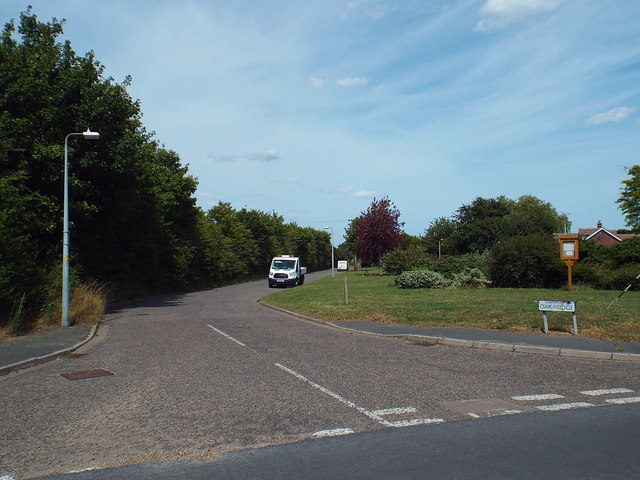
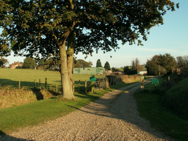
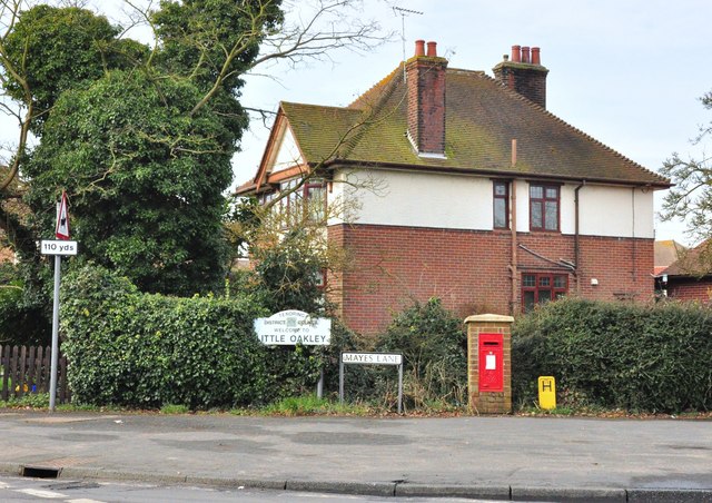
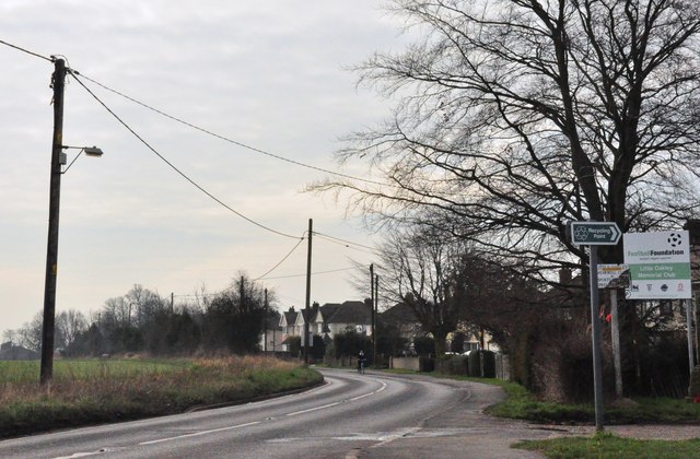
Ramsey and Parkeston Images

Images are sourced within 2km of 51.935041/1.212063 or Grid Reference TM2031. Thanks to Geograph Open Source API. All images are credited.

Carpet of Bluebells, Stour Wood, Ramsey Part of the RSPB's Stour Estuary nature reserve: <span class="nowrap"><a title="https://www.rspb.org.uk/reserves-and-events/reserves-a-z/stour-estuary/" rel="nofollow ugc noopener" href="https://www.rspb.org.uk/reserves-and-events/reserves-a-z/stour-estuary/">Link</a><img style="margin-left:2px;" alt="External link" title="External link - shift click to open in new window" src="https://s1.geograph.org.uk/img/external.png" width="10" height="10"/></span>

See also <a href="https://www.geograph.org.uk/photo/7156261">TM1931 : Bluebells in Stour Wood, RSPB, Ramsey</a> for a closer view of the bluebells.
Carpet of Bluebells, Stour Wood, Ramsey
Part of the RSPB's Stour Estuary nature reserve: LinkExternal link See also TM1931 : Bluebells in Stour Wood, RSPB, Ramsey for a closer view of the bluebells.
Bluebells in Stour Wood, RSPB, Ramsey Part of the RSPB's Stour Estuary nature reserve: <span class="nowrap"><a title="https://www.rspb.org.uk/reserves-and-events/reserves-a-z/stour-estuary/" rel="nofollow ugc noopener" href="https://www.rspb.org.uk/reserves-and-events/reserves-a-z/stour-estuary/">Link</a><img style="margin-left:2px;" alt="External link" title="External link - shift click to open in new window" src="https://s1.geograph.org.uk/img/external.png" width="10" height="10"/></span>

See also <a href="https://www.geograph.org.uk/photo/7156260">TM1931 : Carpet of Bluebells, Stour Wood, Ramsey</a> for a wider view of the area.
Bluebells in Stour Wood, RSPB, Ramsey
Part of the RSPB's Stour Estuary nature reserve: LinkExternal link See also TM1931 : Carpet of Bluebells, Stour Wood, Ramsey for a wider view of the area.
The road to Stour Estuary Nature Reserve
Footpath Through Stour Wood
Lane near Ramsey This short lane was once part of the original B.1352
Lane near Ramsey
This short lane was once part of the original B.1352
The Essex Way 162: towards Little Oakley A largely straight path leads from Ramsey to a footpath junction near Little Oakley.
The Essex Way 162: towards Little Oakley
A largely straight path leads from Ramsey to a footpath junction near Little Oakley.
The Essex Way 163: Burnthouse Farm The Essex Way leaves the road at Little Oakley by the farm here - Burnthouse Farm - which bizarrely enough has suffered a fire.
The Essex Way 163: Burnthouse Farm
The Essex Way leaves the road at Little Oakley by the farm here - Burnthouse Farm - which bizarrely enough has suffered a fire.
Oakridge, Little Oakley This road leads to a housing development in the village of Little Oakley.
Oakridge, Little Oakley
This road leads to a housing development in the village of Little Oakley.
Mill Pond Farm This is the entrance to the farm as seen from Hill Road. The farmhouse can just be seen in the distance on the left.
Mill Pond Farm
This is the entrance to the farm as seen from Hill Road. The farmhouse can just be seen in the distance on the left.
Mayes Lane post box The junction of Mayes Lanes and Oakley Road, Ramsey, Essex.
Mayes Lane post box
The junction of Mayes Lanes and Oakley Road, Ramsey, Essex.
Oakley Road at the Memorial Ground The B1414 heads out of town from the Mayes Lane junction..
Oakley Road at the Memorial Ground
The B1414 heads out of town from the Mayes Lane junction..
The Maltings Looking towards Hill House
The Maltings
Looking towards Hill House
The Maltings, Tinker Street and Lower Barn Cottages Looking along the Maltings to the junction with the A120 Tinker Street and Lower Barn Lane on the other side.
The Maltings, Tinker Street and Lower Barn Cottages
Looking along the Maltings to the junction with the A120 Tinker Street and Lower Barn Lane on the other side.
Telephone Exchange in Lower Barn Lane I could see the defunct remains of the Strowger frames through the window. The modern equivalent will be a couple of 19" electrical racks of electronics and a lot of internet infrastructure.
Telephone Exchange in Lower Barn Lane
I could see the defunct remains of the Strowger frames through the window. The modern equivalent will be a couple of 19" electrical racks of electronics and a lot of internet infrastructure.
The End of Lower Barn Lane The truck is speeding through the A120 Tinker Street
The End of Lower Barn Lane
The truck is speeding through the A120 Tinker Street
Footpath to Southhouse Farm I would not be surprised if it is years since this footpath has seen a foot! Even with covid-19 levels of traffic walking along the A120 would be no fun. This is Footpath 177_26 it is 1148m long
Footpath to Southhouse Farm
I would not be surprised if it is years since this footpath has seen a foot! Even with covid-19 levels of traffic walking along the A120 would be no fun. This is Footpath 177_26 it is 1148m long
Rectory Lane, Ramsey This is the <a href="https://www.geograph.org.uk/photo/6495952">TM2129 : Bridleway to Little Oakley</a>
Rectory Lane, Ramsey
Show me another place!

Ramsey and Parkeston is located at Grid Ref: TM2031 (Lat: 51.935041, Lng: 1.212063)

Administrative County: Essex

District: Tendring

Police Authority: Essex

What 3 Words

///cove.curve.bulldozer. Near Dovercourt, Essex

Related Wikis

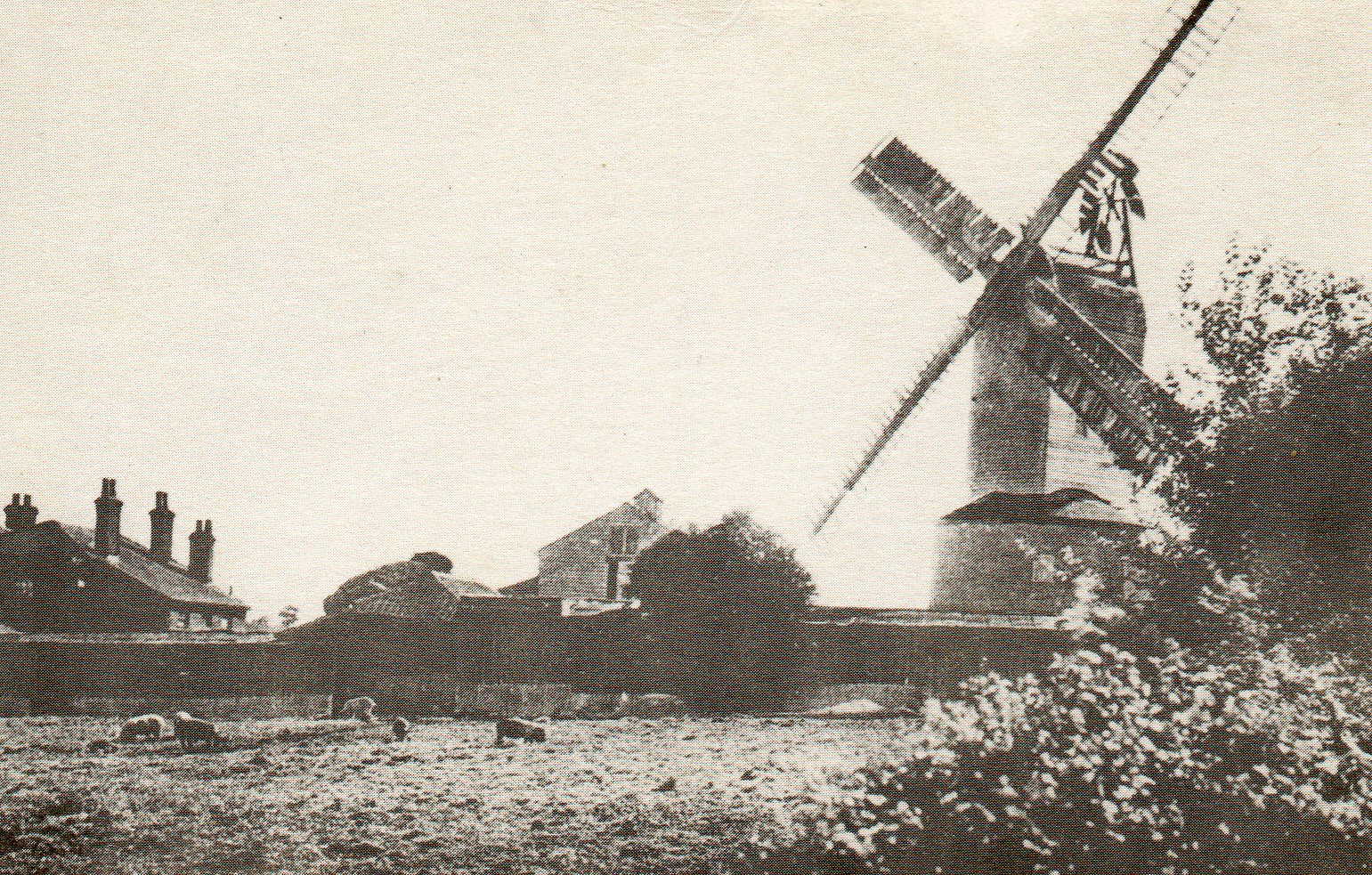
Ramsey Windmill, Essex

Ramsey Windmill is a grade II* listed post mill at Ramsey, Essex, England which has been restored. == History == Ramsey Windmill was originally built in...

Ramsey and Parkeston

Ramsey and Parkeston (formerly just Ramsey) is a civil parish in the Tendring district, in the county of Essex, England. The parish includes the villages...

Ramsey, Essex

Ramsey is a village on the B1352 road, in the civil parish of Ramsey and Parkeston, in the Tendring district, in the county of Essex, England. It is near...

Copperas Wood

Copperas Wood is a 13.8-hectare (34-acre) nature reserve between Ramsey and Wrabness in Essex. It is owned and managed by the Essex Wildlife Trust, and...

Nearby Amenities

Located within 500m of 51.935041,1.212063
Power: pole
Source: bing
Lat/Long: 51.9326444/1.2066216
Power: pole
Source: bing
Lat/Long: 51.9363623/1.2113279
Power: pole
Source: bing
Lat/Long: 51.9319488/1.2073891
Power: pole
Source: bing
Lat/Long: 51.9361581/1.2095454
Power: pole
Source: bing
Lat/Long: 51.9359386/1.2077628
Power: pole
Source: bing
Lat/Long: 51.9367618/1.2182139
Power: pole
Source: bing
Lat/Long: 51.9366504/1.2159956
Power: pole
Source: bing
Lat/Long: 51.9357289/1.2060333
Power: pole
Source: bing
Lat/Long: 51.9365554/1.2144714
Power: pole
Source: bing
Lat/Long: 51.9364757/1.2129233
Power: pole
Transformer: distribution
Lat/Long: 51.9358662/1.2184278
Power: pole
Lat/Long: 51.9349723/1.2181377
Power: pole
Lat/Long: 51.9340715/1.2178439
Power: pole
Lat/Long: 51.9322998/1.2174795
Power: pole
Lat/Long: 51.9331511/1.2175753
Power: pole
Transformer: distribution
Lat/Long: 51.9316233/1.2144061
Power: pole
Lat/Long: 51.9315833/1.2156798
The data included in this document is from www.openstreetmap.org. The data is made available under ODbL.

Have you been to Ramsey and Parkeston?

Leave your review of Ramsey and Parkeston below (or comments, questions and feedback).