Rainford
Civil Parish in Lancashire St. Helens
England
Rainford
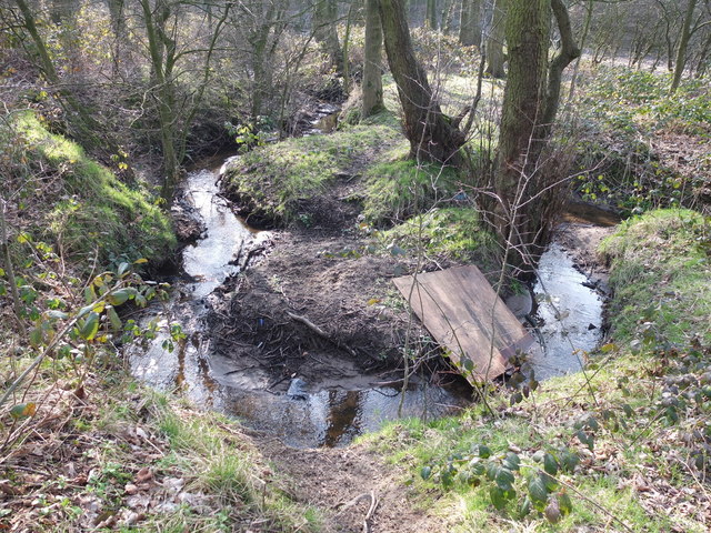
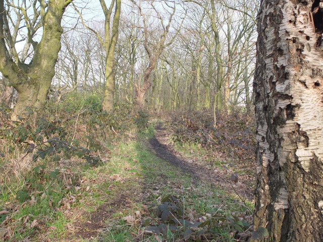
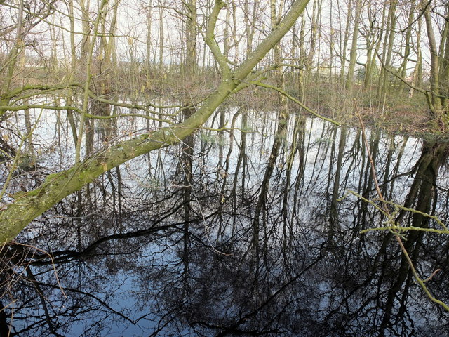
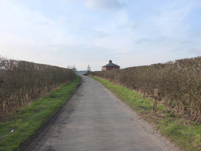
Rainford is a civil parish located in the county of Lancashire, in the North West of England. It is situated approximately 4 miles east of the town of St Helens and 15 miles northwest of the city of Liverpool. The village is surrounded by a rural landscape, with picturesque countryside and farmland.
The history of Rainford can be traced back to the Roman era, with evidence of Roman settlement discovered in the area. In the medieval period, the village became known for its coal mining industry, which thrived until the 20th century. Today, Rainford retains its rural charm and is known for its scenic beauty.
The village has a small population, with approximately 6,000 residents. It offers a range of amenities and services for its residents, including a primary school, a library, a post office, and a selection of shops and local businesses. The community is close-knit and there are several active sports and social clubs in the area.
One of the notable attractions in Rainford is the Rainford Heritage Trail, which takes visitors on a journey through the village's history and highlights key landmarks and points of interest. The trail offers a unique opportunity to explore the rich heritage of the area.
Overall, Rainford is a peaceful and picturesque civil parish, offering a tranquil escape from the busyness of nearby urban areas. It is an ideal place for nature lovers, history enthusiasts, and those seeking a slower pace of life.
If you have any feedback on the listing, please let us know in the comments section below.
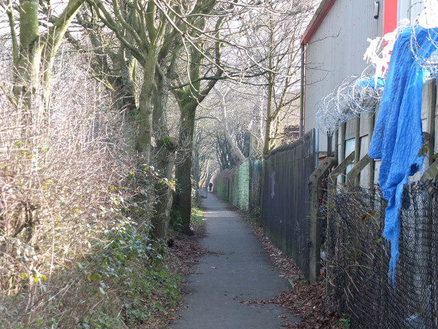
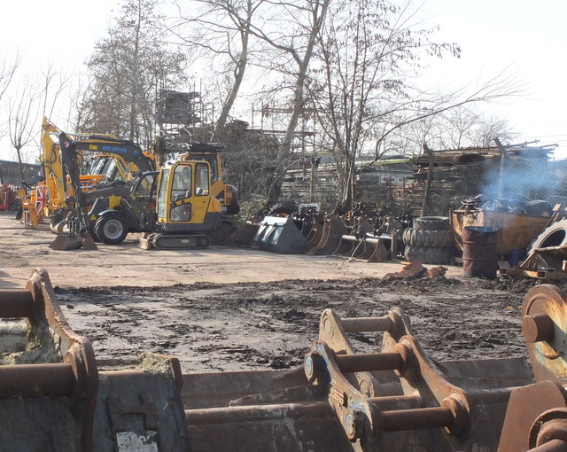
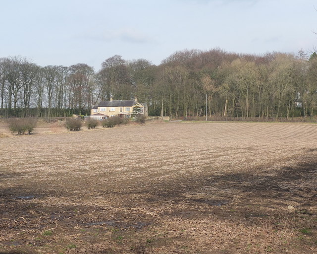
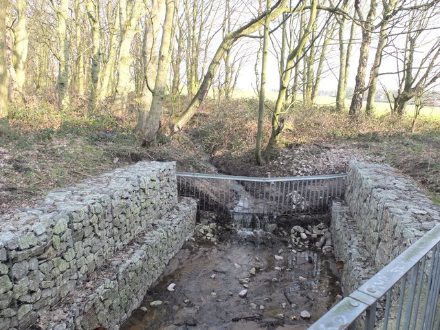
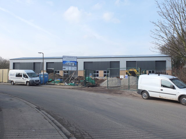
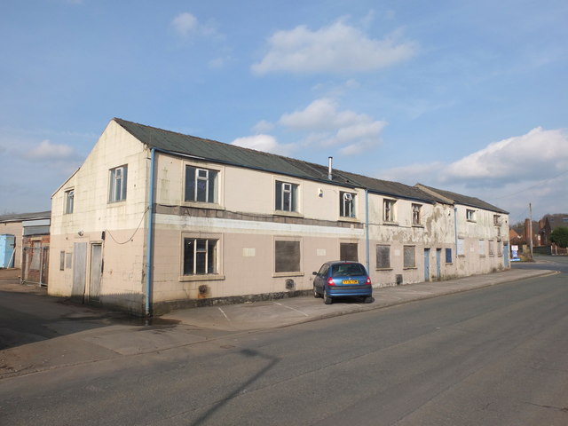
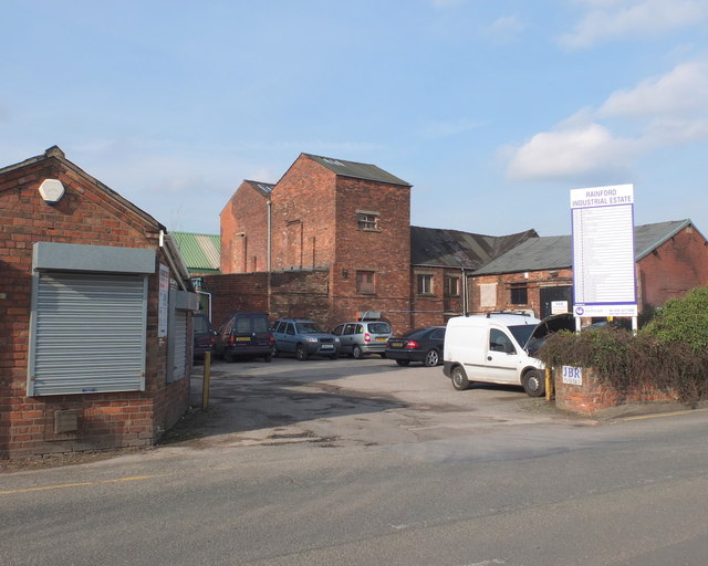
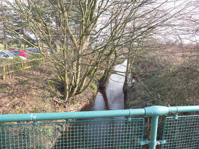
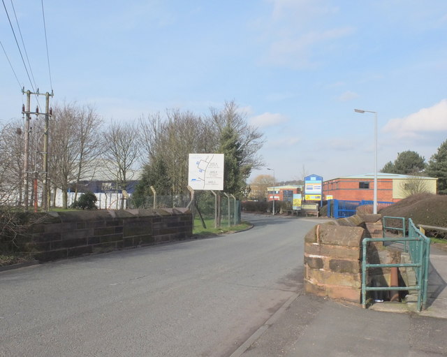
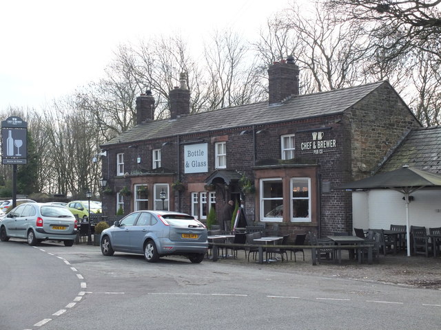
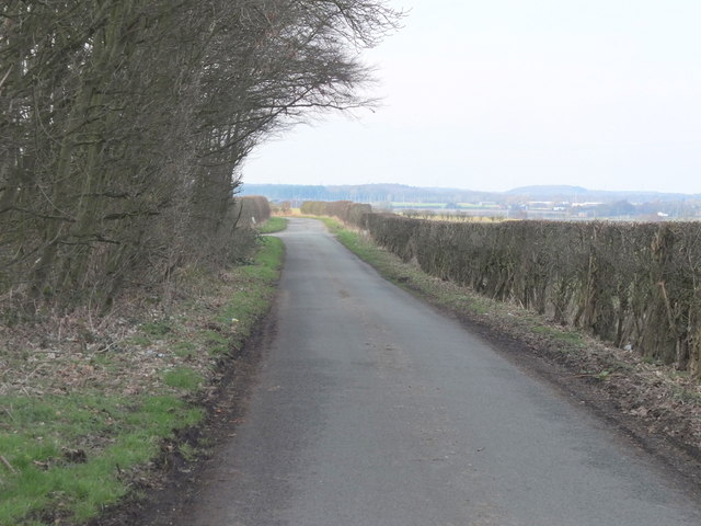
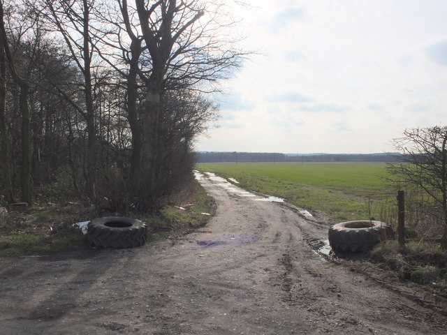
Rainford Images
Images are sourced within 2km of 53.499127/-2.777534 or Grid Reference SD4800. Thanks to Geograph Open Source API. All images are credited.
Rainford is located at Grid Ref: SD4800 (Lat: 53.499127, Lng: -2.777534)
Administrative County: Merseyside
District: St. Helens
Police Authority: Merseyside
What 3 Words
///descended.roadshow.riots. Near Rainford, Merseyside
Nearby Locations
Related Wikis

Rookery railway station
Rookery railway station was on the St Helens to Rainford Junction then Ormskirk line southeast of Rainford, England. == History == The first station opened...

Rainford
Rainford is a village and civil parish in the Metropolitan Borough of St Helens, Merseyside, England, 5 miles (8.0 km) north of St Helens. At the 2011...
Rainford Village railway station
Rainford Village railway station was on the railway line from St Helens to Rainford Junction, then Ormskirk, England. == Opening and early history == The...
Rainford High School
Rainford High School is a coeducational secondary school and sixth form located in Rainford, Merseyside, England. It first opened in 1940 and continues...
Old Mill Lane railway station
Old Mill Lane railway station was on the St Helens to Rainford Junction then Ormskirk line south of Rainford, England. It opened on 1 August 1906 and closed...

Crank, Merseyside
Crank is a village near Rainford, Merseyside, England in the Metropolitan Borough of St Helens. Within the boundaries of the historic county of Lancashire...

A570 road
The A570 is a primary route in Northern England, that runs from St Helens to Southport. == Route == Until the early 1970s, the road ran from a junction...
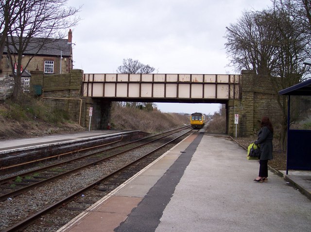
Rainford railway station
Rainford railway station is situated to the north of the village of Rainford, Merseyside, England. It is on the Kirkby branch line. The station, and all...
Nearby Amenities
Located within 500m of 53.499127,-2.777534Have you been to Rainford?
Leave your review of Rainford below (or comments, questions and feedback).