Pickering
Civil Parish in Yorkshire Ryedale
England
Pickering
Pickering is a civil parish located in the county of Yorkshire, England. Situated in the Ryedale district, it is a market town with a rich history dating back to medieval times. The town is nestled on the southern edge of the North York Moors National Park, offering stunning natural landscapes and outdoor activities.
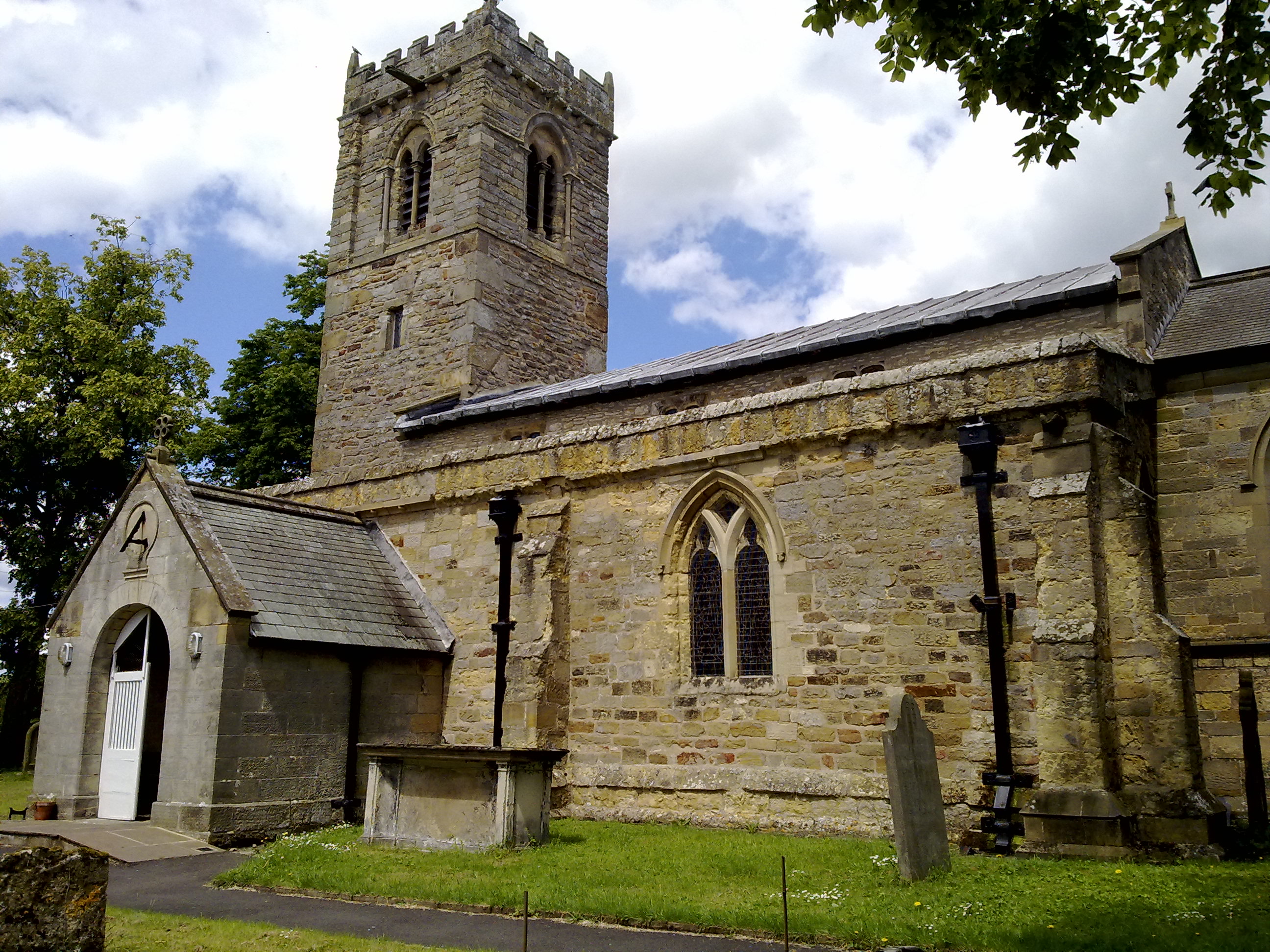
At the heart of Pickering is the 12th-century Pickering Castle, a well-preserved Norman fortress that offers visitors a glimpse into the town's past. The town also boasts a charming historic center with traditional buildings, quaint shops, and a weekly market that has been running for over 800 years.
Pickering is known for its steam railway, the North Yorkshire Moors Railway. This heritage railway line takes passengers on a scenic journey through the picturesque countryside to the coastal town of Whitby. The railway is a popular tourist attraction and hosts various special events throughout the year, including steam galas and vintage vehicle shows.
The area surrounding Pickering is a haven for outdoor enthusiasts. The North York Moors National Park offers countless walking and cycling routes, including the famous 109-mile Cleveland Way. Dalby Forest, located nearby, is a popular destination for mountain biking, hiking, and wildlife spotting.
In terms of amenities, Pickering has a range of shops, restaurants, and cafes to cater to both locals and visitors. The town also boasts several accommodation options, including hotels, guesthouses, and self-catering cottages, making it an ideal base for exploring the surrounding area.
Overall, Pickering is a picturesque market town with a rich history, stunning natural landscapes, and a variety of attractions and amenities that make it a popular destination for tourists and locals alike.
If you have any feedback on the listing, please let us know in the comments section below.
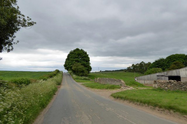
Pickering Images
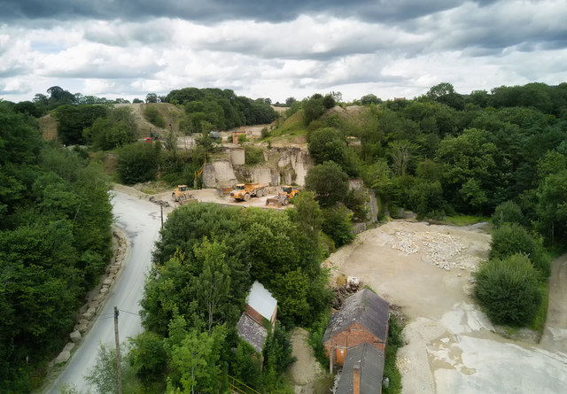
Images are sourced within 2km of 54.273723/-0.776813 or Grid Reference SE7987. Thanks to Geograph Open Source API. All images are credited.


Pickering is located at Grid Ref: SE7987 (Lat: 54.273723, Lng: -0.776813)
Division: North Riding
Administrative County: North Yorkshire
District: Ryedale
Police Authority: North Yorkshire
What 3 Words
///lotteries.tolls.motivate. Near Pickering, North Yorkshire
Nearby Locations
Related Wikis

Newbridge, North Yorkshire
Newbridge is a hamlet, near Pickering in North Yorkshire, England.
Middleton, east North Yorkshire
Middleton is a small village and civil parish in North Yorkshire, England. It is situated on the A170 road to the west of Pickering. There is a Church...

Costa Beck
Costa Beck is a small river in the Ryedale district of North Yorkshire, England. It also lends its name to an archaeological site. == Watercourse == The...

Lady Lumley's School
Lady Lumley's School is a coeducational secondary school and sixth form located in Pickering, North Yorkshire, England. It was founded in Thornton-le-Dale...
Nearby Amenities
Located within 500m of 54.273723,-0.776813Have you been to Pickering?
Leave your review of Pickering below (or comments, questions and feedback).