Philleigh

Civil Parish in Cornwall

England

Philleigh

Farmland, Gerrans Arable land dropping down into the wooded valley north of Treluggan.
Farmland, Gerrans Credit: Andrew Smith

Philleigh, Cornwall is a civil parish located in the southwestern county of Cornwall, England. Situated on the Roseland Peninsula, it is roughly 10 miles southeast of Truro, the county's administrative center. Philleigh covers an area of approximately 6 square miles and is home to a small population of around 250 residents.

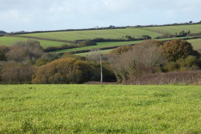
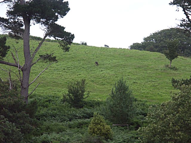
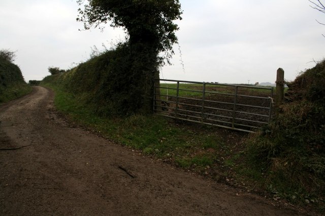
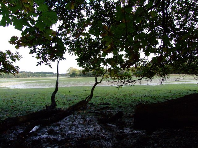
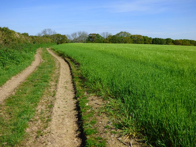
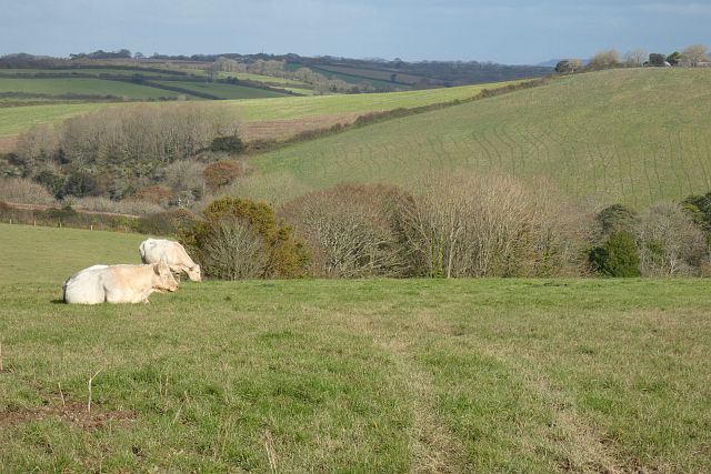
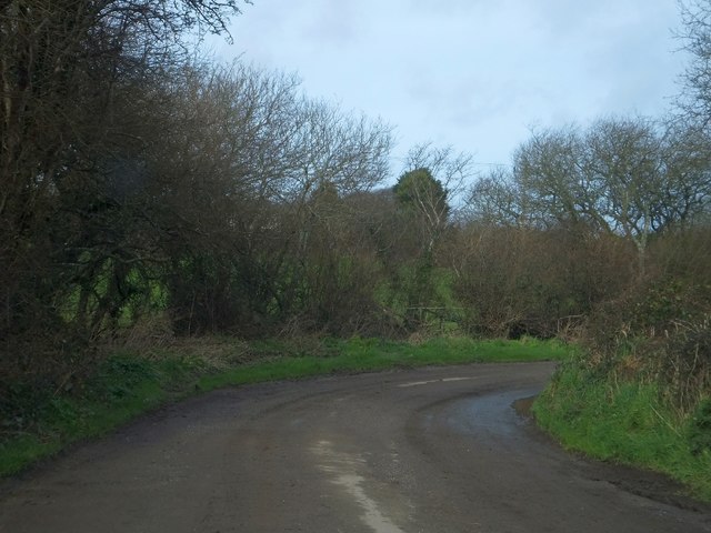
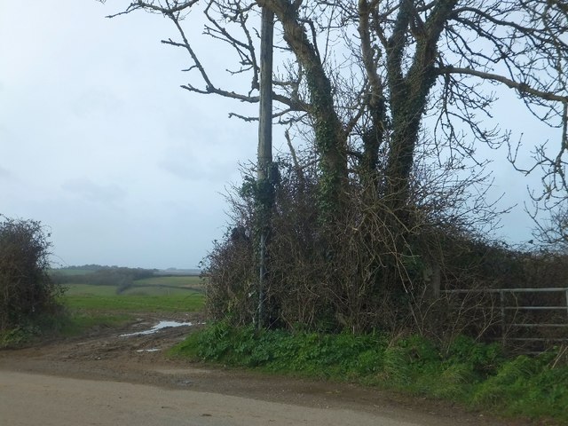
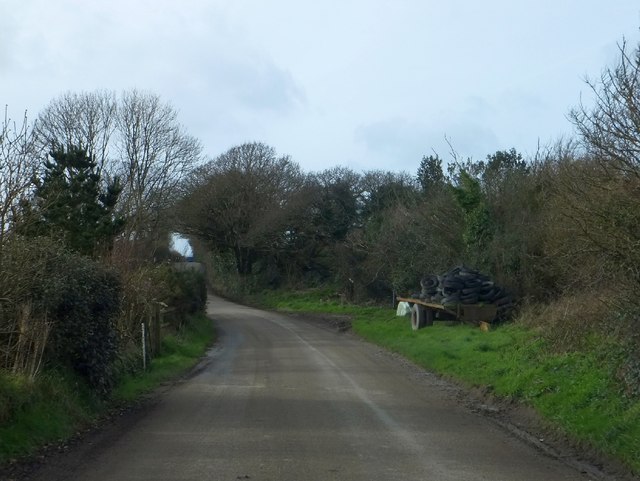
The parish is characterized by its picturesque countryside, with rolling hills, farmland, and charming villages scattered throughout. The landscape is dotted with traditional Cornish cottages and historic buildings, giving it a quintessential English countryside feel.

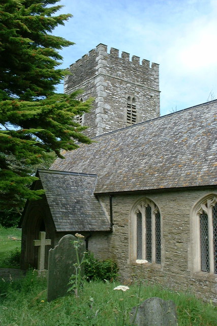
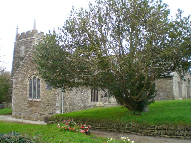
One of the notable landmarks in Philleigh is the 13th-century church, St. Philleigh, which stands as a testament to the area's long history. The church features an impressive tower and a beautiful stained glass window, attracting visitors interested in architectural and historical heritage.

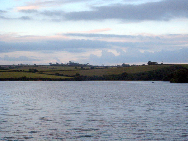
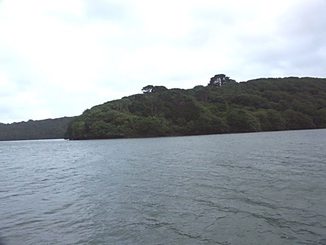
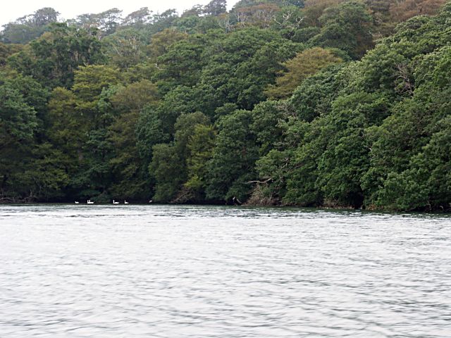
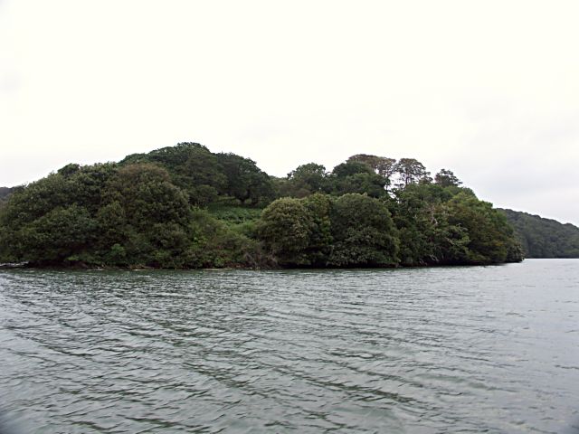
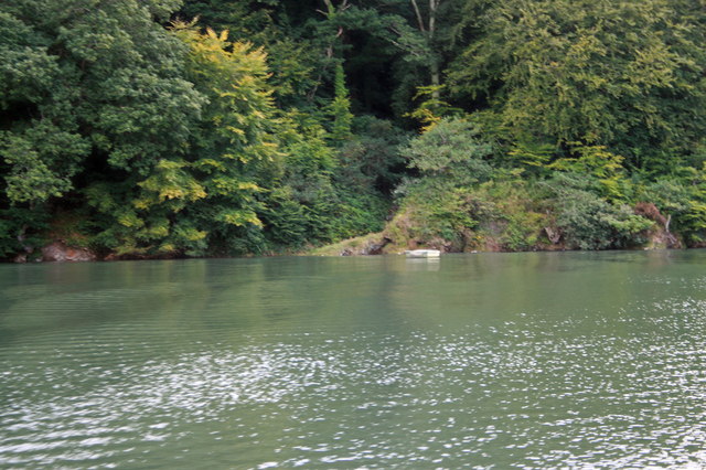
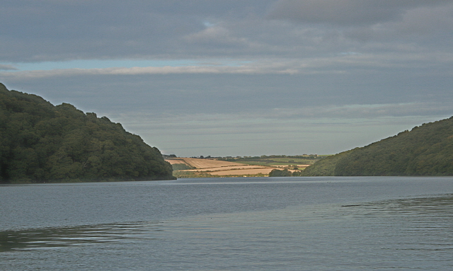
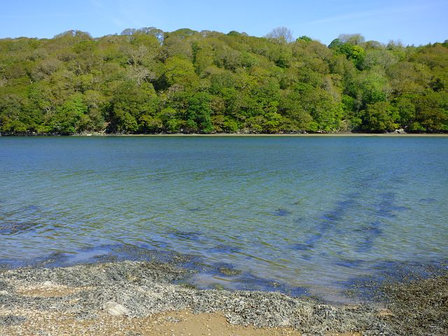
Philleigh is surrounded by natural beauty, with the Fal River Estuary and the Roseland Heritage Coast nearby. These areas offer stunning coastal walks, sandy beaches, and opportunities for water activities such as sailing and kayaking.

Despite its small size, Philleigh boasts a strong sense of community. Local amenities include a village hall, a primary school, and a popular pub, where residents and visitors can enjoy traditional Cornish food and drink.

Overall, Philleigh is a charming civil parish that offers a tranquil and idyllic lifestyle, appealing to those seeking a peaceful retreat in the heart of Cornwall's countryside.

If you have any feedback on the listing, please let us know in the comments section below.
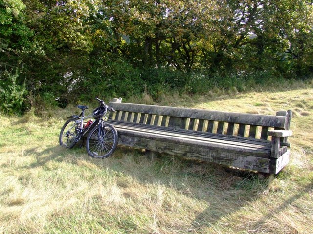
Philleigh Images

Images are sourced within 2km of 50.217116/-4.986572 or Grid Reference SW8739. Thanks to Geograph Open Source API. All images are credited.

Farmland, Gerrans Arable land dropping down into the wooded valley north of Treluggan.
Farmland, Gerrans
Arable land dropping down into the wooded valley north of Treluggan.
Evening high tide at Ardevora A high spring tide in this unspoiled creek off the River Fal.  At low tide the scene would be very different with extensive mud flats.
Evening high tide at Ardevora
A high spring tide in this unspoiled creek off the River Fal. At low tide the scene would be very different with extensive mud flats.
Polgerran Wood
Polgerran Wood
Swans at the head of the creek off the River Fal
Tregothnan Deer Park. A solitary deer can be seen in the middle of the photograph.
Tregothnan Deer Park.
A solitary deer can be seen in the middle of the photograph.
Wooded promontory on the River Fal
Country lane This lane, just about driveable for another 500m or so, leads north from the farm at Trenestrall, whose cows can be seen grazing in the field opposite.
Country lane
This lane, just about driveable for another 500m or so, leads north from the farm at Trenestrall, whose cows can be seen grazing in the field opposite.
Looking towards Ardevora This is an isolated area of the river Fal, now made more accessible by a very good woodland circular walk, courtesy of DEFRA and the local farmer.
Looking towards Ardevora
This is an isolated area of the river Fal, now made more accessible by a very good woodland circular walk, courtesy of DEFRA and the local farmer.
'Giant Bench' Whilst trying to take a decent picture to be classified as a Geograph, I chanced on what I thought was a giant seat. While taking a rest I realised it was a hurdle for a point to point course...
'Giant Bench'
Whilst trying to take a decent picture to be classified as a Geograph, I chanced on what I thought was a giant seat. While taking a rest I realised it was a hurdle for a point to point course...
River Fal - Footpath to Philleigh In days gone by the quickest way from Philleigh to Truro would have been by boat and this path would have been the shortest distance to the river.
River Fal - Footpath to Philleigh
In days gone by the quickest way from Philleigh to Truro would have been by boat and this path would have been the shortest distance to the river.
Looking up the River Fal towards Ardevora Evening sun highlights the foreshore at Ardevora.
Looking up the River Fal towards Ardevora
Evening sun highlights the foreshore at Ardevora.
Track and farmland, Philleigh The right of way crosses fields of barley, so it is more expedient to use the available tracks.
Track and farmland, Philleigh
The right of way crosses fields of barley, so it is more expedient to use the available tracks.
The River Fal, Philleigh Looking across the tidal river to woodland below St Michael Penkevil.
The River Fal, Philleigh
Looking across the tidal river to woodland below St Michael Penkevil.
Pasture, Ruanlanihorne Charolais cattle and slopes descending to the Fal to the north of Trenestrall.
Pasture, Ruanlanihorne
Charolais cattle and slopes descending to the Fal to the north of Trenestrall.
St Philleigh's church, Philleigh
Stream beside road at Treluggan A stream flows alongside the road, running from right to left, after a culvert round the corner.  The stream rises very close to the coast (here it is just over 1km from the coast) but flows eastwards for nearly 10km to the Percuil River
Stream beside road at Treluggan
A stream flows alongside the road, running from right to left, after a culvert round the corner. The stream rises very close to the coast (here it is just over 1km from the coast) but flows eastwards for nearly 10km to the Percuil River
Gateways near Penhallow Farm The open gateway gives a view north to the valley of the Fal
Gateways near Penhallow Farm
The open gateway gives a view north to the valley of the Fal
A trailer at White Lane The farm and cottages are in a shallow valley
A trailer at White Lane
The farm and cottages are in a shallow valley
Show me another place!

Philleigh is located at Grid Ref: SW8739 (Lat: 50.217116, Lng: -4.986572)

Unitary Authority: Cornwall

Police Authority: Devon & Cornwall

What 3 Words

///signal.tasteful.broom. Near Portscatho, Cornwall

Nearby Locations

Philleigh Philleigh

Related Wikis

Philleigh

Philleigh (Cornish: Eglosros) is a civil parish and village in Cornwall, England, in the United Kingdom; one of the four in the Roseland Peninsula. Philleigh...

Treworthal

Treworthal is a hamlet in the parish of Philleigh, Cornwall, England, United Kingdom. == References ==

Ruan Lanihorne

Ruan Lanihorne is a civil parish and village in south Cornwall, England, United Kingdom. The village is situated approximately four miles (6.5 km) east...

Trewithian

Trewithian (Cornish: Trewydhyan) is a hamlet near Portscatho in Cornwall, England. Trewithian lies within the Cornwall Area of Outstanding Natural Beauty...

Nearby Amenities

Located within 500m of 50.217116,-4.986572
Philleigh
Is In County: Cornwall
Name Kw: Eglosros
Place: hamlet
Source: OS_OpenData_StreetView
Lat/Long: 50.2164995/-4.9855605
Pub
Roseland Inn
Addr City: Truro
Addr Country: GB
Addr Place: Philleigh
Addr Postcode: TR2 5NB
Fhrs Id: 438841
Lat/Long: 50.2162939/-4.9856645
Post Box
Collection Times: Mo-Fr 09:00; Sa 07:00; Su off
Operator: Royal Mail
Operator Wikidata: Q638098
Post Box Mounting: pier
Post Box Type: lamp
Ref: TR2 82D
Royal Cypher: EIIR
Royal Cypher Wikidata: Q33102113
Source: survey;aerial imagery
Lat/Long: 50.2161415/-4.986099
The data included in this document is from www.openstreetmap.org. The data is made available under ODbL.

Have you been to Philleigh?

Leave your review of Philleigh below (or comments, questions and feedback).