Perry
Civil Parish in Huntingdonshire Huntingdonshire
England
Perry
Perry is a small civil parish located in the district of Huntingdonshire, in the county of Cambridgeshire, England. Situated approximately 10 miles west of the town of Huntingdon, Perry covers an area of around 1.5 square miles.
The village is nestled in a rural setting, surrounded by picturesque countryside and farmland. It is a close-knit community with a population of around 200 residents, according to the latest census data. The parish consists of a mix of traditional cottages and more modern houses, offering a variety of accommodation options.
Perry is known for its tranquil and idyllic setting, making it a popular destination for nature lovers and those seeking a peaceful retreat. The village is home to a number of footpaths and bridleways, providing opportunities for outdoor activities such as walking, cycling, and horse riding.
The parish boasts a Grade II listed church, St. Michael's, which dates back to the 12th century. The church is a notable architectural landmark and holds regular services for the local community.
While Perry itself is a small village, it benefits from its proximity to larger towns and cities. The nearby town of Huntingdon offers a range of amenities including shops, schools, and healthcare facilities. Additionally, Perry benefits from good transport links, with easy access to major road networks such as the A1 and A14, providing convenient connections to other parts of the country.
Overall, Perry is a charming and peaceful village, offering a rural lifestyle with access to essential amenities within easy reach.
If you have any feedback on the listing, please let us know in the comments section below.
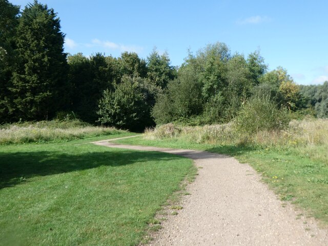
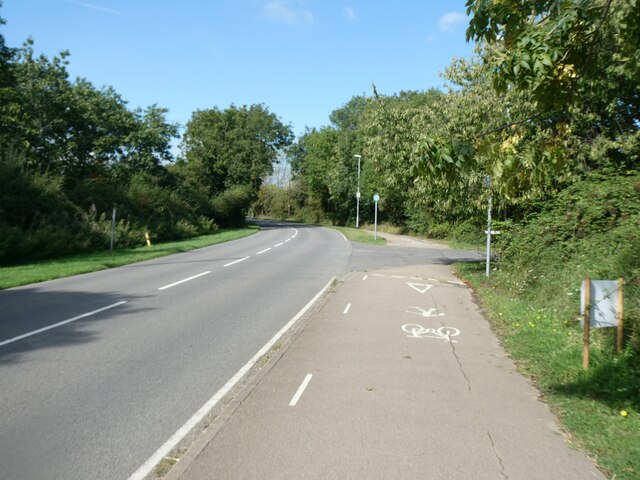
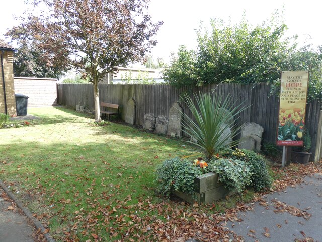
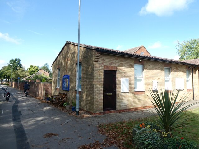
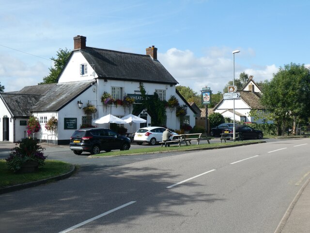
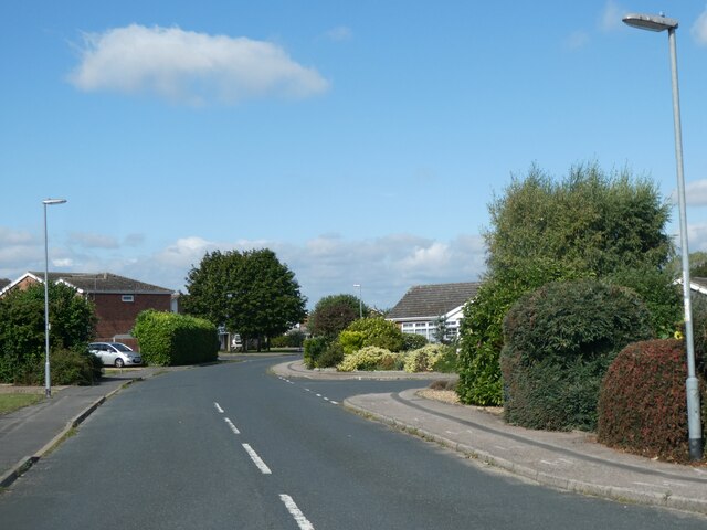
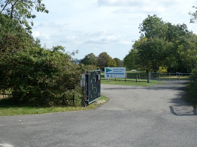
Perry Images
Images are sourced within 2km of 52.291988/-0.324923 or Grid Reference TL1467. Thanks to Geograph Open Source API. All images are credited.


Perry is located at Grid Ref: TL1467 (Lat: 52.291988, Lng: -0.324923)
Administrative County: Cambridgeshire
District: Huntingdonshire
Police Authority: Cambridgeshire
What 3 Words
///rummage.unlimited.chatters. Near Kimbolton, Cambridgeshire
Nearby Locations
Related Wikis

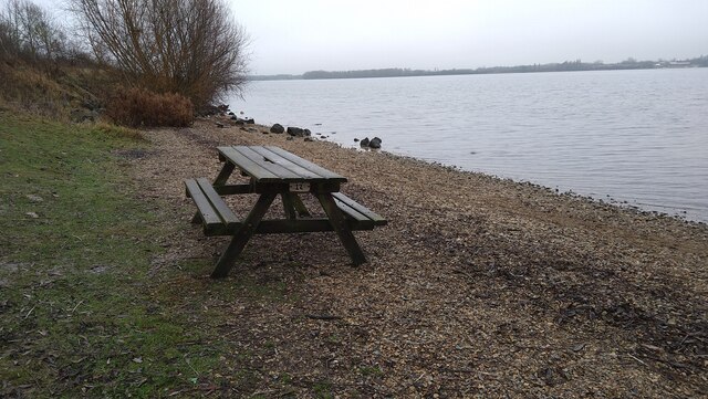
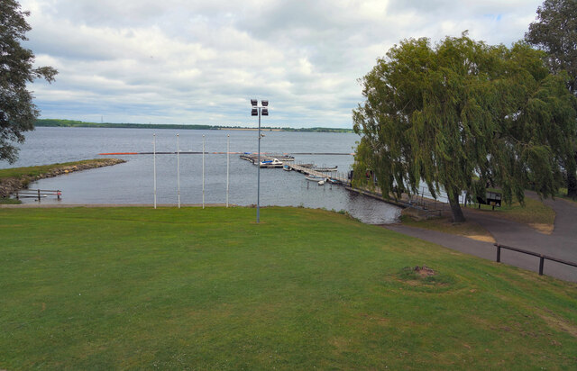
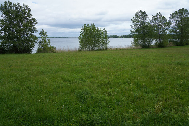
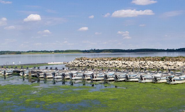
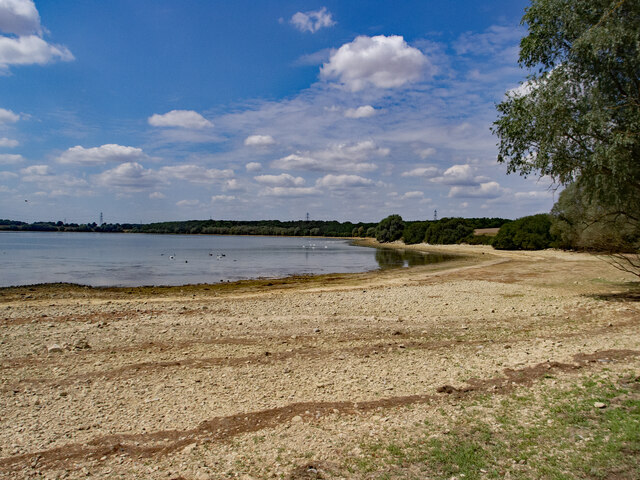
Grafham Water
Grafham Water is an 806.3-hectare (1,992-acre) biological Site of Special Scientific Interest (SSSI) north of Perry, Huntingdonshire. It was designated...

Gaynes Hall
Gaynes Hall is a Grade II* listed Georgian mansion set in 20 acres (81,000 m2) of parkland in the heart of the Cambridgeshire countryside. Located in the...

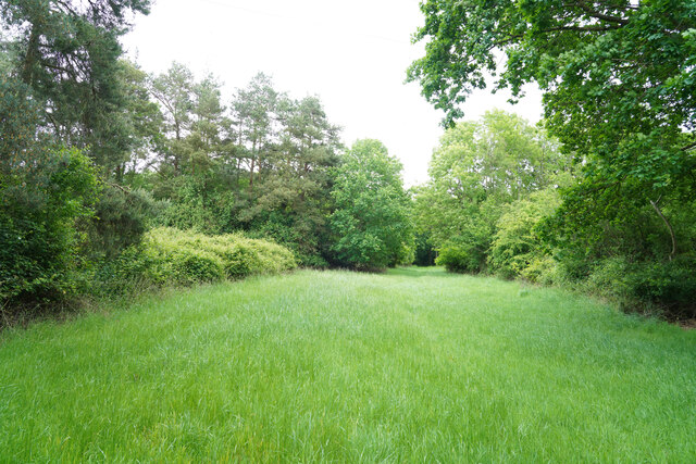
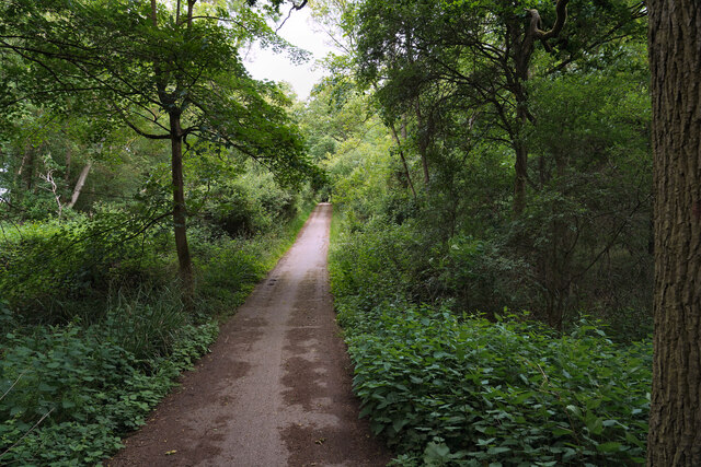
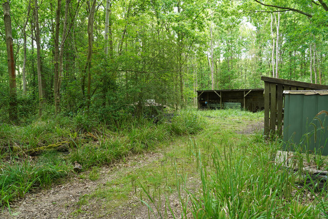
Perry Woods
Perry Woods is a 67.9-hectare (168-acre) biological Site of Special Scientific Interest south-east of Kimbolton in Cambridgeshire. It is composed of three...

Perry, Cambridgeshire
Perry is a village and civil parish in Cambridgeshire, England, approximately 6 miles (10 km) south-west of Huntingdon. Perry is in Huntingdonshire, a...
Nearby Amenities
Located within 500m of 52.291988,-0.324923Have you been to Perry?
Leave your review of Perry below (or comments, questions and feedback).