Valley Creek
Bay in Huntingdonshire Huntingdonshire
England
Valley Creek
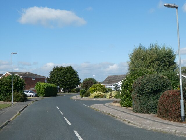
Valley Creek, Huntingdonshire Bay, is a picturesque and charming village situated in the county of Huntingdonshire, England. Nestled in the heart of the countryside, Valley Creek is renowned for its natural beauty and tranquil surroundings.
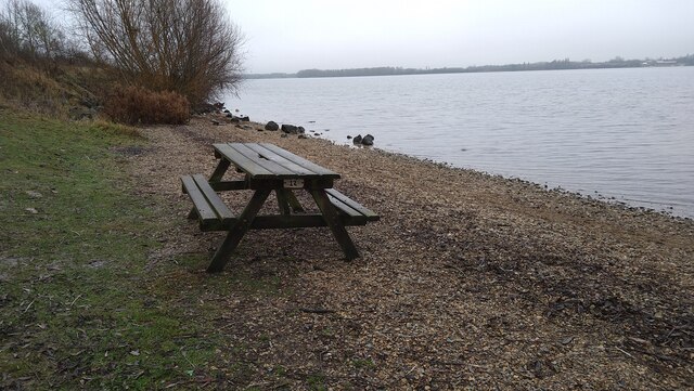
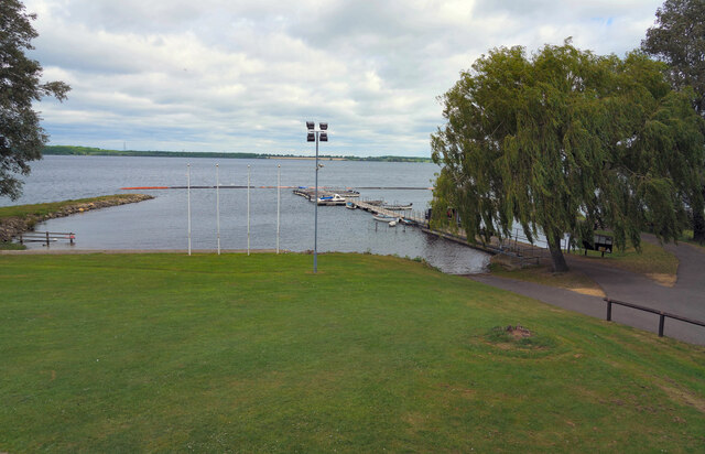
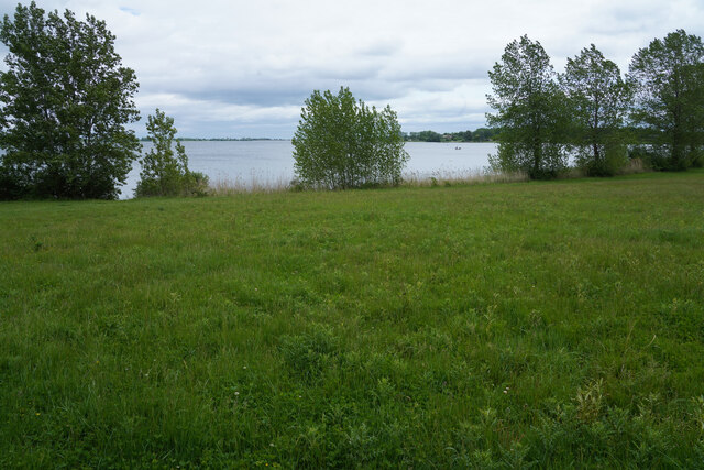
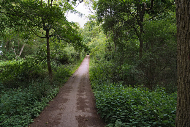
The village is set along the banks of a meandering creek, which adds to its idyllic character. The creek itself is flanked by lush green meadows, dotted with grazing livestock and wildflowers in the warmer months. The glistening waters of the creek attract local wildlife, including ducks, swans, and various species of fish.
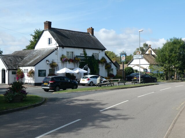
Valley Creek is a close-knit community, with a population of around 500 residents. The village is known for its friendly and welcoming atmosphere, where neighbors often gather for social events and community activities. The local pub, The Creek Inn, serves as a popular meeting place for both locals and visitors, offering traditional English fare and a selection of locally brewed ales.
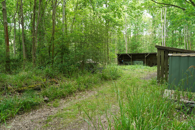
The village is also home to a small but thriving primary school, providing education for the younger residents. Additionally, there are several quaint cottages and houses that contribute to the village's charm.
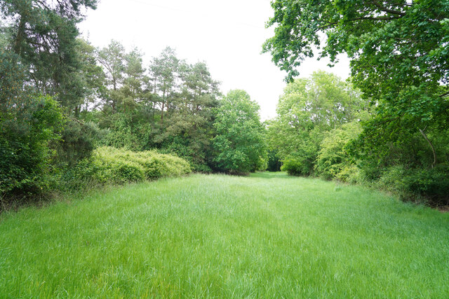
For outdoor enthusiasts, Valley Creek offers a range of activities. The surrounding countryside provides ample opportunities for walking, cycling, and horse riding, with scenic trails leading to nearby woodlands and nature reserves. Fishing is also a popular pastime, with the creek offering a tranquil spot for anglers to cast their lines.
In conclusion, Valley Creek, Huntingdonshire Bay, is a peaceful and picturesque village that captures the essence of rural England. Its natural beauty, friendly community, and range of outdoor activities make it an ideal destination for those seeking a tranquil escape.
If you have any feedback on the listing, please let us know in the comments section below.
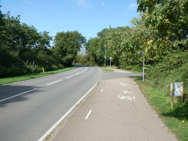
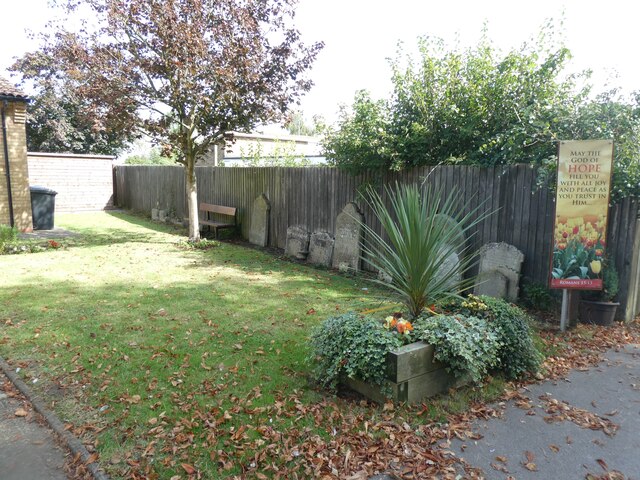
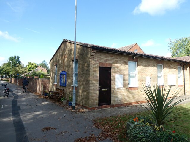
Valley Creek Images
Images are sourced within 2km of 52.292734/-0.32674985 or Grid Reference TL1467. Thanks to Geograph Open Source API. All images are credited.


Valley Creek is located at Grid Ref: TL1467 (Lat: 52.292734, Lng: -0.32674985)
Administrative County: Cambridgeshire
District: Huntingdonshire
Police Authority: Cambridgeshire
What 3 Words
///imitate.frost.vesting. Near Kimbolton, Cambridgeshire
Nearby Locations
Related Wikis

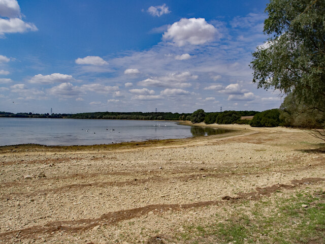
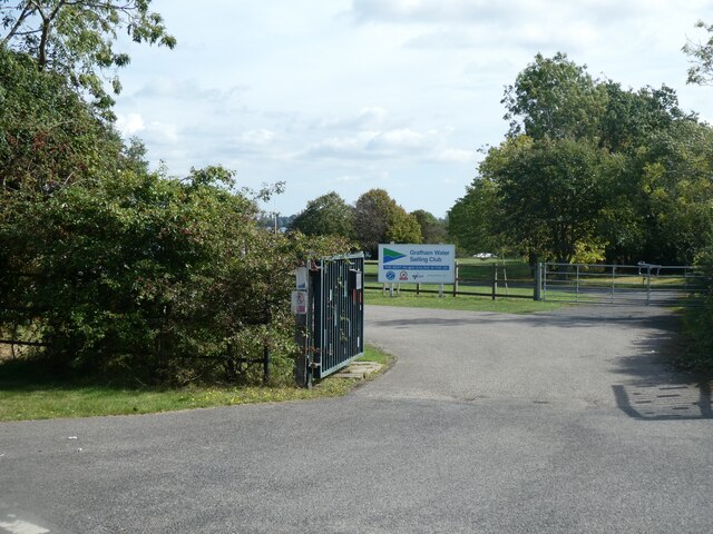
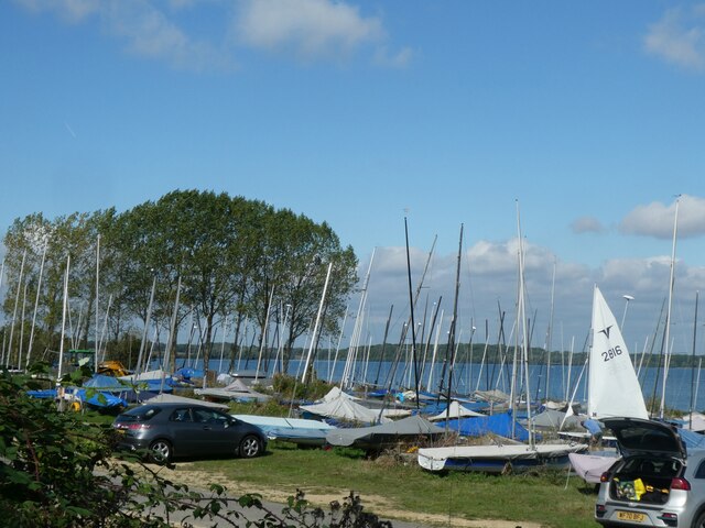
Grafham Water
Grafham Water is an 806.3-hectare (1,992-acre) biological Site of Special Scientific Interest (SSSI) north of Perry, Huntingdonshire. It was designated...

Perry Woods
Perry Woods is a 67.9-hectare (168-acre) biological Site of Special Scientific Interest south-east of Kimbolton in Cambridgeshire. It is composed of three...

Gaynes Hall
Gaynes Hall is a Grade II* listed Georgian mansion set in 20 acres (81,000 m2) of parkland in the heart of the Cambridgeshire countryside. Located in the...

Perry, Cambridgeshire
Perry is a village and civil parish in Cambridgeshire, England, approximately 6 miles (10 km) south-west of Huntingdon. Perry is in Huntingdonshire, a...
Nearby Amenities
Located within 500m of 52.292734,-0.32674985Have you been to Valley Creek?
Leave your review of Valley Creek below (or comments, questions and feedback).