Pattingham and Patshull
Civil Parish in Staffordshire South Staffordshire
England
Pattingham and Patshull
Pattingham and Patshull is a civil parish located in the county of Staffordshire, England. It encompasses the villages of Pattingham and Patshull, which are situated approximately 8 miles west of Wolverhampton and 10 miles south of Stafford. The parish covers an area of around 18 square kilometers and has a population of about 1,900 residents.
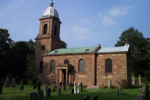
Pattingham is a picturesque village with a rich history dating back to the Saxon era. It is known for its charming thatched cottages, traditional village green, and historic St. Chad's Church, which dates back to the 12th century. The village also boasts a range of amenities, including a primary school, a village hall, a post office, and a number of shops and pubs.
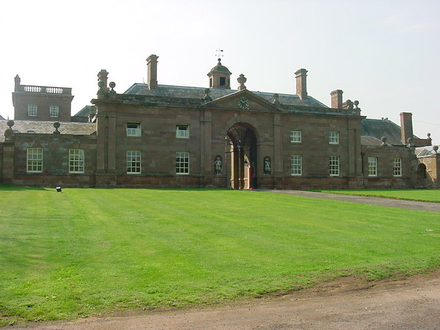
Patshull, on the other hand, is a smaller hamlet located to the south of Pattingham. It is primarily known for its proximity to Patshull Park, a magnificent Georgian mansion set within 250 acres of parkland. The mansion has been converted into a luxury hotel and golf course, attracting visitors from near and far.
The parish is surrounded by rolling countryside, offering picturesque views and ample opportunities for outdoor activities such as walking, cycling, and horse riding. The area is also home to the Patshull Park Marina, situated on the Staffordshire and Worcestershire Canal, providing boating and fishing opportunities for residents and visitors alike.
Overall, Pattingham and Patshull offer a peaceful and idyllic setting, combining historical charm with modern amenities, making it an attractive place to live or visit for those seeking a rural retreat.
If you have any feedback on the listing, please let us know in the comments section below.
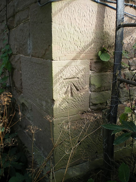
Pattingham and Patshull Images
Images are sourced within 2km of 52.592198/-2.274246 or Grid Reference SO8199. Thanks to Geograph Open Source API. All images are credited.


Pattingham and Patshull is located at Grid Ref: SO8199 (Lat: 52.592198, Lng: -2.274246)
Administrative County: Staffordshire
District: South Staffordshire
Police Authority: Staffordshire
What 3 Words
///timer.audible.awoken. Near Pattingham, Staffordshire
Nearby Locations
Related Wikis

Pattingham
Pattingham is a village and former civil parish, now in the parish of Pattingham and Patshull, in the South Staffordshire district, in the county of Staffordshire...

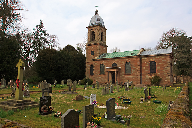
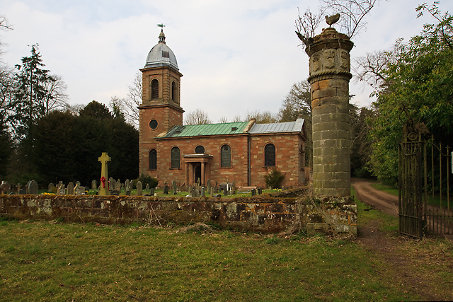
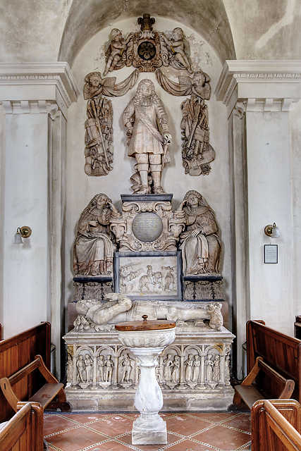
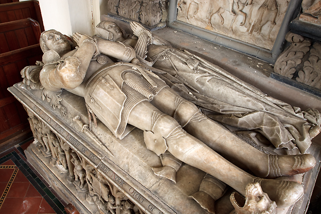
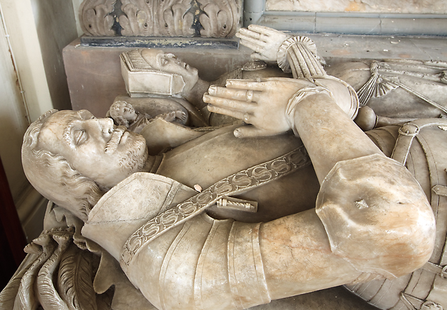
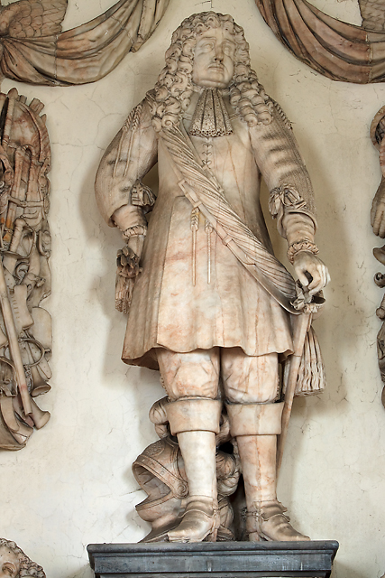
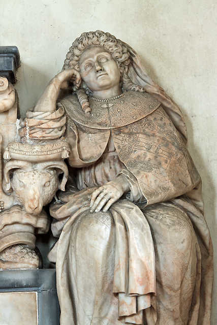
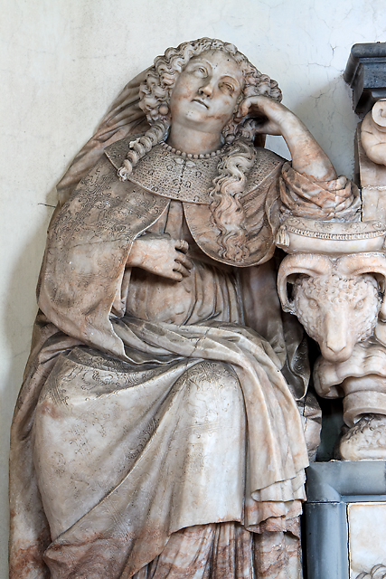
St Mary's Church, Patshull
St Mary's Church, Patshull, is a redundant Anglican church in the parish of Pattingham and Patshull, Staffordshire, England, and is situated near Patshull...
Patshull
Patshull is a former civil parish, now in the parish of Pattingham and Patshull, in the South Staffordshire district, in the county of Staffordshire, England...

Patshull Hall
Patshull Hall is a substantial Georgian mansion house situated near Pattingham in Staffordshire, England. It is a Grade I listed building and by repute...

Rudge, Shropshire
Rudge is a settlement and civil parish about 6 miles east of Bridgnorth, in the Shropshire district, in the ceremonial county of Shropshire, England. In...

Nurton
Nurton is a hamlet in the South Staffordshire District, in the English county of Staffordshire. Nearby settlements include the city of Wolverhampton and...
Burnhill Green
Burnhill Green is a small hamlet near Pattingham, situated in Staffordshire, England, in the former parish of Patshull. The hamlet is on the edge of the...

Boningale
Boningale is a village and civil parish in Shropshire, England. The village lies just south of Albrighton, and just west of the county border with Staffordshire...
Nearby Amenities
Located within 500m of 52.592198,-2.274246Have you been to Pattingham and Patshull?
Leave your review of Pattingham and Patshull below (or comments, questions and feedback).