Parkham

Civil Parish in Devon Torridge

England

Parkham

Field beside Melbury Plantation Field beside Melbury Plantation which is the woodland on the right.
Field beside Melbury Plantation Credit: Philip Halling

Parkham is a civil parish located in the county of Devon, England. Situated approximately 5 miles northeast of Bideford, it covers an area of around 9 square miles. The parish is bordered by the parishes of Alwington, Littleham, Buckland Brewer, and Abbotsham.

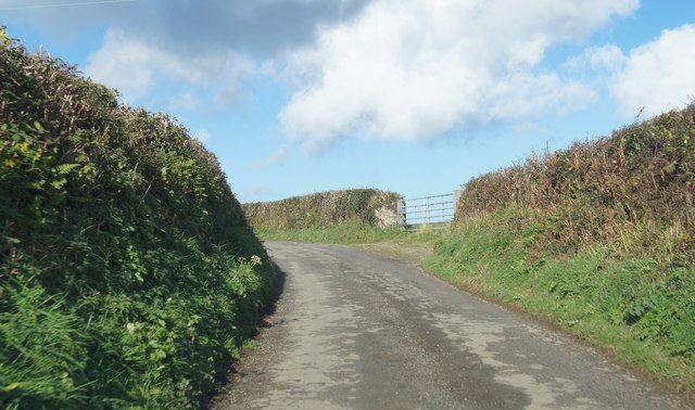
Parkham is a rural community with a population of around 600 people. The landscape is characterized by rolling hills, farmland, and small woodlands. The parish is primarily agricultural, with farming being the main occupation for many residents.

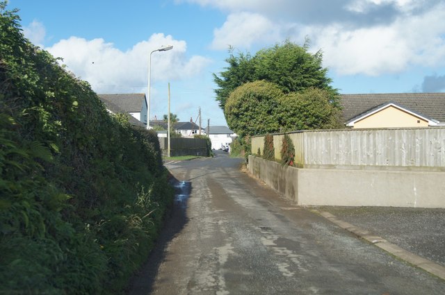
The village of Parkham serves as the main settlement within the parish. It is a picturesque village with a mix of traditional thatched cottages and more modern houses. The village features a church, St. James' Church, which dates back to the 13th century and is known for its beautiful stained glass windows.

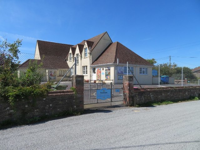
There are limited amenities within the village, including a primary school, a village hall, and a pub, The Bell Inn. However, residents have easy access to nearby towns and villages for additional services and facilities.

Parkham is surrounded by natural beauty, with the North Devon coastline just a few miles to the west. The area offers opportunities for outdoor activities such as hiking, cycling, and exploring the nearby nature reserves.

Overall, Parkham provides a peaceful and idyllic setting for residents who enjoy a rural lifestyle and appreciate the beauty of the Devon countryside.

If you have any feedback on the listing, please let us know in the comments section below.
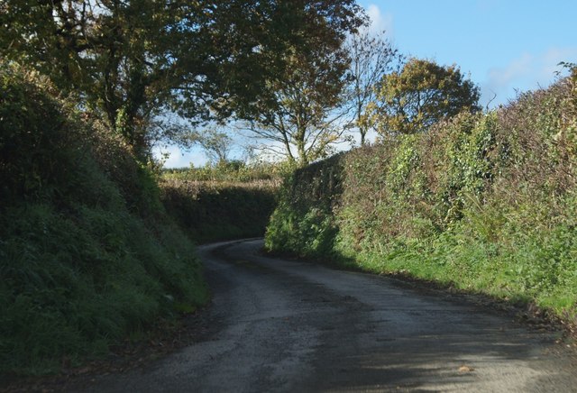
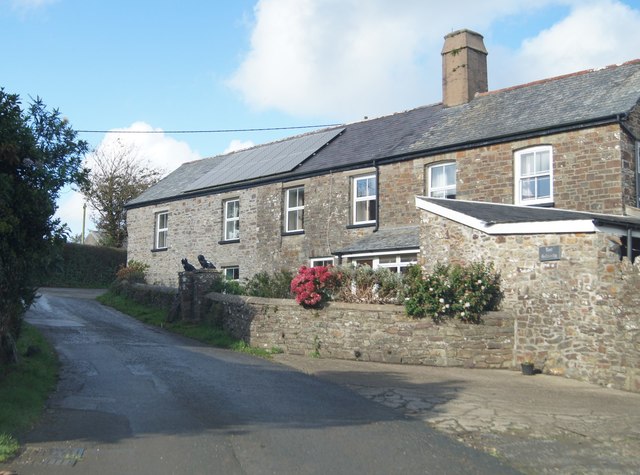
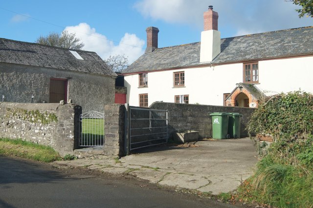
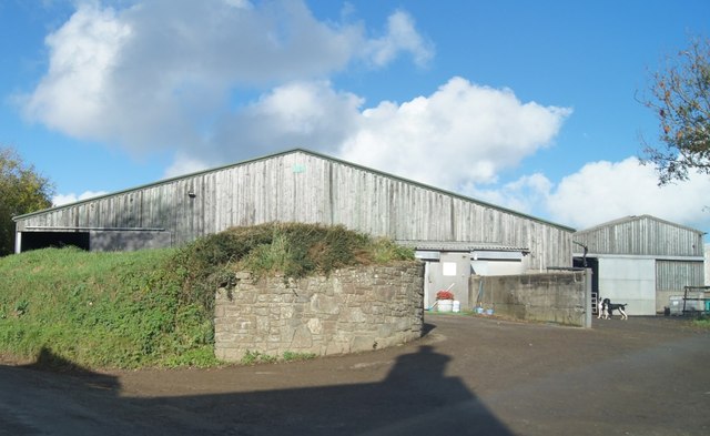
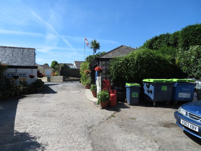
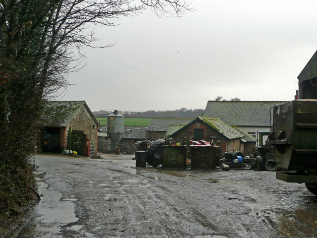
Parkham Images

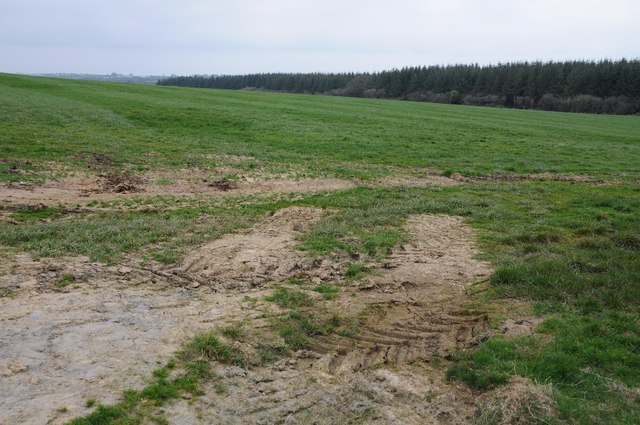
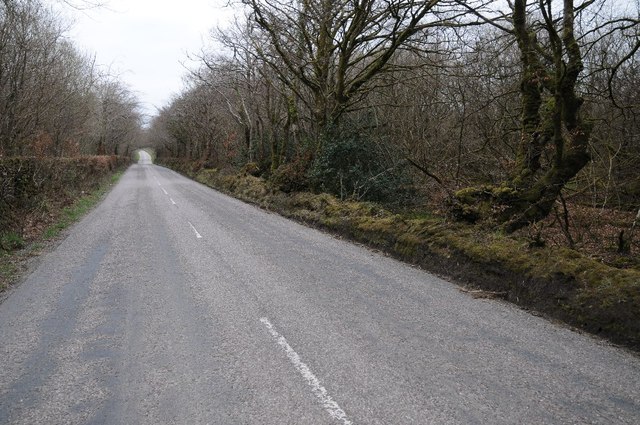
Images are sourced within 2km of 50.970676/-4.30545 or Grid Reference SS3821. Thanks to Geograph Open Source API. All images are credited.

Field beside Melbury Plantation Field beside Melbury Plantation which is the woodland on the right.
Field beside Melbury Plantation
Field beside Melbury Plantation which is the woodland on the right.
Country road, Melbury Country road passing through woodland at Melbury.
Country road, Melbury
Country road passing through woodland at Melbury.
There's a chill to the air, and we're ready for the off Swallows lining up in preparation for their migration flight to Africa, Taken at Hoardlands farm
There's a chill to the air, and we're ready for the off
Swallows lining up in preparation for their migration flight to Africa, Taken at Hoardlands farm
Nuthatch on the bird table at Hoardland cottage
Greater spotted woodpecker at Hoardland cottage
Approach to Goldworthy
Winding up to Goldworthy
East Goldworthy cottages
Centre of Goldworthy
House in Goldworthy
House in Goldworthy
Brittons Farm
Brittons Farm
Typical Devon lane Between Goldworthy and Horns Cross.
Typical Devon lane
Between Goldworthy and Horns Cross.
Acre Road - Horns Cross
Doesn't sound attractive Is this how you catch passing trade?
Doesn't sound attractive
Is this how you catch passing trade?
Ordnance Survey Flush Bracket S5422 This can be found on the wall of an old school - now a private dwelling - beside the A39 road.
For more detail see : <span class="nowrap"><a title="http://www.bench-marks.org.uk/bm20838" rel="nofollow ugc noopener" href="http://www.bench-marks.org.uk/bm20838">Link</a><img style="margin-left:2px;" alt="External link" title="External link - shift click to open in new window" src="https://s1.geograph.org.uk/img/external.png" width="10" height="10"/></span>
Ordnance Survey Flush Bracket S5422
This can be found on the wall of an old school - now a private dwelling - beside the A39 road. For more detail see : LinkExternal link
Parkham village school
The Bell car park
The Bell car park
View along Barton Road
Show me another place!

Parkham is located at Grid Ref: SS3821 (Lat: 50.970676, Lng: -4.30545)

Administrative County: Devon

District: Torridge

Police Authority: Devon & Cornwall

What 3 Words

///plunger.free.unfocused. Near Bideford, Devon

Nearby Locations

Parkham Parkham Bocombe

Related Wikis

Bocombe

Bocombe is a village in Devon, England.

Parkham

Parkham is a small village, civil parish and former manor situated 5 miles south-west of the town of Bideford in north Devon, England. The parish, which...

Cabbacott

Cabbacott is a village in Devon, England. == External links == Media related to Cabbacott at Wikimedia Commons

Peppercombe

Peppercombe is a small valley (combe) on the north-western coast of Devon, England. It is situated on the South West Coast Path between Westward Ho! to...

Nearby Amenities

Located within 500m of 50.970676,-4.30545
Direction: 190
Fixme: check these, as may have misinterpreted new building work
Generator Method: photovoltaic
Generator Output Electricity: yes
Generator Solar Modules: 8
Generator Source: solar
Generator Type: solar_photovoltaic_panel
Location: roof
Power: generator
Lat/Long: 50.9712346/-4.2985068
Direction: 190
Fixme: check these, as may have misinterpreted new building work
Generator Method: photovoltaic
Generator Output Electricity: yes
Generator Solar Modules: 8
Generator Source: solar
Generator Type: solar_photovoltaic_panel
Location: roof
Power: generator
Lat/Long: 50.9711839/-4.298543
Power: pole
Source: bing
Lat/Long: 50.9696537/-4.3000826
Power: pole
Source: bing
Lat/Long: 50.9695033/-4.2987898
Power: pole
Source: bing
Lat/Long: 50.9685118/-4.3020058
Power: pole
Source: bing
Lat/Long: 50.9691047/-4.3016571
Power: pole
Source: bing
Lat/Long: 50.9697905/-4.3012333
Power: pole
Source: bing
Lat/Long: 50.9705691/-4.3007585
Power: pole
Source: bing
Lat/Long: 50.971292/-4.300324
Power: pole
Source: bing
Lat/Long: 50.9722446/-4.3004528
Power: pole
Source: bing
Lat/Long: 50.9730655/-4.3005788
Power: pole
Source: bing
Lat/Long: 50.9736904/-4.3006727
Poles: bipole
Power: pole
Source: bing
Transformer: distribution
Lat/Long: 50.9703462/-4.3086067
Power: pole
Source: bing
Lat/Long: 50.9694611/-4.3088213
Power: pole
Source: bing
Lat/Long: 50.968603/-4.3090332
Power: pole
Source: bing
Lat/Long: 50.9677298/-4.309237
Power: pole
Source: bing
Lat/Long: 50.9666639/-4.3028292
Power: pole
Source: bing
Lat/Long: 50.9668269/-4.3019736
Power: pole
Source: bing
Lat/Long: 50.9670271/-4.302907
Power: pole
Source: bing
Lat/Long: 50.967826/-4.3024215
The data included in this document is from www.openstreetmap.org. The data is made available under ODbL.

Have you been to Parkham?

Leave your review of Parkham below (or comments, questions and feedback).