Oxspring
Civil Parish in Yorkshire Barnsley
England
Oxspring

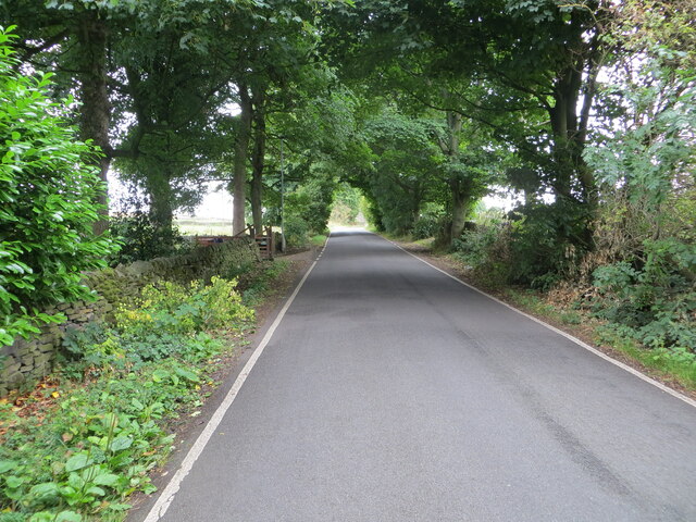
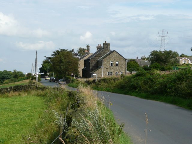
Oxspring is a picturesque civil parish located in the metropolitan borough of Barnsley, South Yorkshire, England. Situated on the eastern slopes of the Pennines, it is nestled within the heart of the stunning Yorkshire countryside. The village is approximately 10 miles away from the city of Sheffield and is surrounded by beautiful open fields and rolling hills.
Historically, Oxspring was known for its coal mining industry, which played a significant role in the village's development. However, the closure of the local colliery in the 1980s led to a shift towards a more residential and agricultural focus. Today, the area is mainly residential, with a mix of traditional stone-built houses and more modern properties.
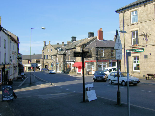
The village itself is small but charming, with a close-knit community that takes pride in its surroundings. There are several local amenities, including a well-regarded primary school, a village hall, and a post office. The nearby Trans Pennine Trail offers residents and visitors the opportunity to explore the surrounding countryside on foot or by bike.
Oxspring is also home to a number of historic landmarks, such as the Grade II listed Oxspring Viaduct, which was built in 1850 and is now a popular spot for walkers and nature enthusiasts. The village church, St Aidan's, is another notable feature, with its distinctive spire visible from miles around.
Overall, Oxspring offers a tranquil and idyllic setting for those seeking a rural lifestyle, while still being within easy reach of larger towns and cities. Its rich history, natural beauty, and strong sense of community make it a desirable place to live or visit in Yorkshire.
If you have any feedback on the listing, please let us know in the comments section below.
Oxspring Images
Images are sourced within 2km of 53.520016/-1.600234 or Grid Reference SE2602. Thanks to Geograph Open Source API. All images are credited.


Oxspring is located at Grid Ref: SE2602 (Lat: 53.520016, Lng: -1.600234)
Division: West Riding
Administrative County: South Yorkshire
District: Barnsley
Police Authority: South Yorkshire
What 3 Words
///ribcage.loose.wiggles. Near Penistone, South Yorkshire
Nearby Locations
Related Wikis

Oxspring
Oxspring is a village and civil parish in the Metropolitan Borough of Barnsley in South Yorkshire, England. At the 2001 census it had a population of...

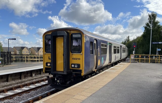
Oxspring railway station
Oxspring railway station was a short lived station built by the Sheffield, Ashton-under-Lyne and Manchester Railway to serve the village of Oxspring, South...

Penistone and Stocksbridge (UK Parliament constituency)
Penistone and Stocksbridge is a constituency in South Yorkshire represented in the House of Commons of the UK Parliament since 2019 by Miriam Cates, a...

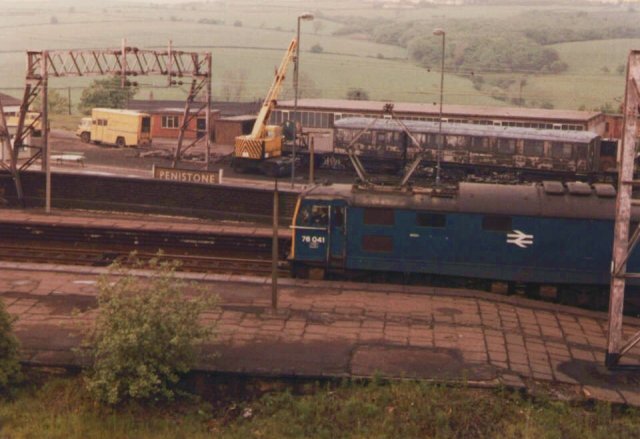
Penistone railway station
Penistone railway station serves the town of Penistone, in the Metropolitan Borough of Barnsley, South Yorkshire, England. Services are provided by Northern...
Penistone Church F.C.
Penistone Church Football Club is an English football club based in Penistone, Barnsley, South Yorkshire. They play in the Northern Counties East League...
Hunshelf
Hunshelf is a civil parish in the Metropolitan Borough of Barnsley. At the 2001 census it had a population of 324, reducing to 246 at the 2011 Census...

Penistone Paramount Cinema
The Penistone Paramount Cinema is a community cinema and theatre in Penistone, near Barnsley, in the heart of the South Yorkshire Pennines. Besides the...
Penistone
Penistone ( PEN-iss-tən) is a market town and civil parish in the Metropolitan Borough of Barnsley, South Yorkshire, England, which had a population of...
Nearby Amenities
Located within 500m of 53.520016,-1.600234Have you been to Oxspring?
Leave your review of Oxspring below (or comments, questions and feedback).