Longley Ings
Settlement in Yorkshire
England
Longley Ings

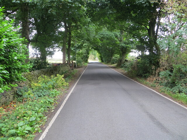
Longley Ings is a picturesque village nestled in the heart of Yorkshire, England. Located just east of Huddersfield, it is surrounded by rolling hills and lush green fields, providing a tranquil escape from the bustling city life. The village is situated on the banks of the River Colne, which adds to its scenic charm.
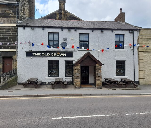
Longley Ings is a small, close-knit community with a population of around 500 residents. The village is known for its quaint cottages and traditional architecture, which exude a timeless charm. The main street is lined with local shops, including a small grocery store, a post office, and a few cozy cafes. These establishments not only serve the locals but also attract visitors who come to enjoy the village's peaceful atmosphere.
Nature enthusiasts are drawn to Longley Ings for its stunning landscapes and abundant wildlife. The surrounding countryside offers numerous walking trails and cycling routes, allowing visitors to explore the area's natural beauty. The village is also a popular spot for birdwatching, with a variety of species frequently spotted in the nearby nature reserves.
Longley Ings has a rich history, with some buildings dating back several centuries. The village church, St. Mary's, is a notable landmark and a testament to the area's historical significance. The community takes pride in preserving its heritage, and various events and festivals are held throughout the year to celebrate its past.
Overall, Longley Ings embodies the quintessential English countryside, offering a peaceful haven for those seeking solace in nature and a charming glimpse into rural village life.
If you have any feedback on the listing, please let us know in the comments section below.
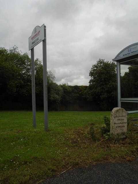
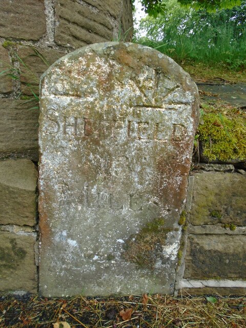
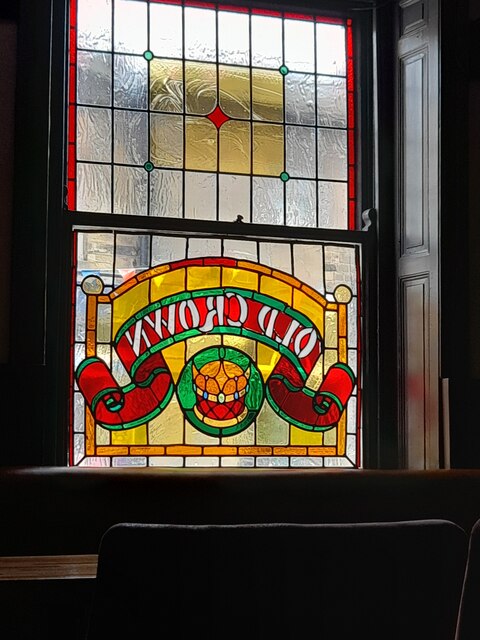
Longley Ings Images
Images are sourced within 2km of 53.520608/-1.6080738 or Grid Reference SE2602. Thanks to Geograph Open Source API. All images are credited.


Longley Ings is located at Grid Ref: SE2602 (Lat: 53.520608, Lng: -1.6080738)
Division: West Riding
Unitary Authority: Barnsley
Police Authority: South Yorkshire
What 3 Words
///heat.nipping.digests. Near Penistone, South Yorkshire
Nearby Locations
Related Wikis

Penistone Church F.C.
Penistone Church Football Club is an English football club based in Penistone, Barnsley, South Yorkshire. They play in the Northern Counties East League...

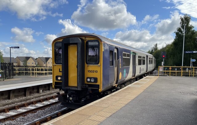
Penistone railway station
Penistone railway station serves the town of Penistone, in the Metropolitan Borough of Barnsley, South Yorkshire, England. Services are provided by Northern...
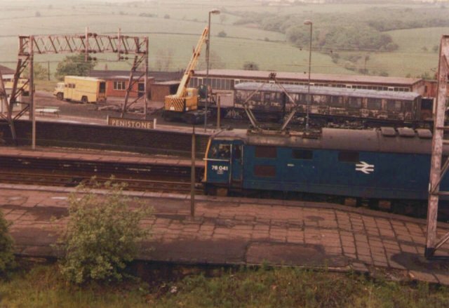
Oxspring railway station
Oxspring railway station was a short lived station built by the Sheffield, Ashton-under-Lyne and Manchester Railway to serve the village of Oxspring, South...

Oxspring
Oxspring is a village and civil parish in the Metropolitan Borough of Barnsley in South Yorkshire, England. At the 2001 census it had a population of...
Nearby Amenities
Located within 500m of 53.520608,-1.6080738Have you been to Longley Ings?
Leave your review of Longley Ings below (or comments, questions and feedback).