Offcote and Underwood
Civil Parish in Derbyshire Derbyshire Dales
England
Offcote and Underwood
Offcote and Underwood is a civil parish located in the county of Derbyshire, England. Situated in the East Midlands region, the parish covers an area of approximately 3.5 square miles. It is part of the district of Derbyshire Dales.
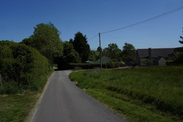
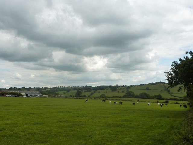
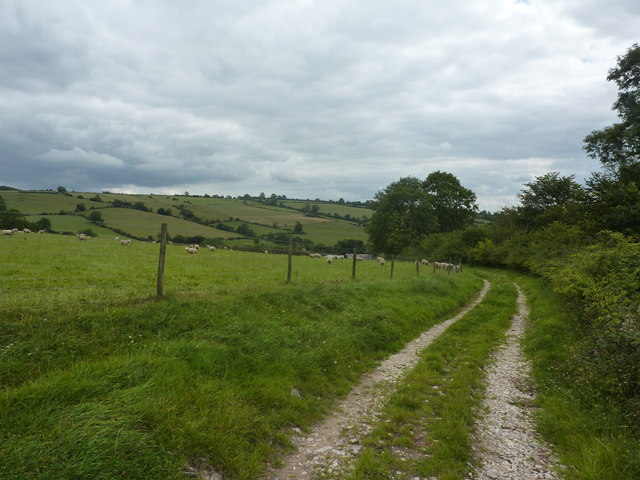
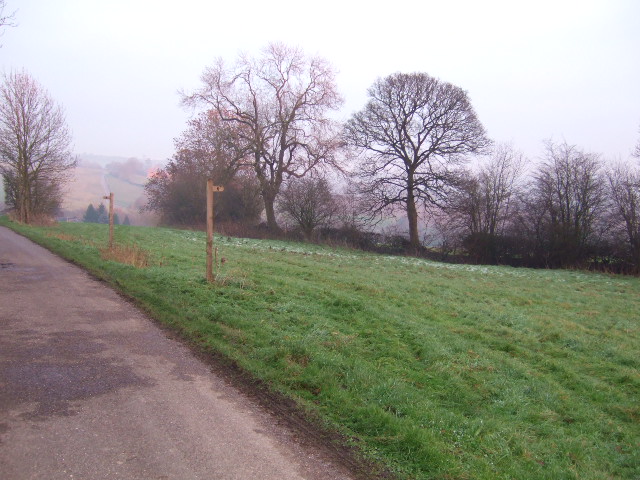
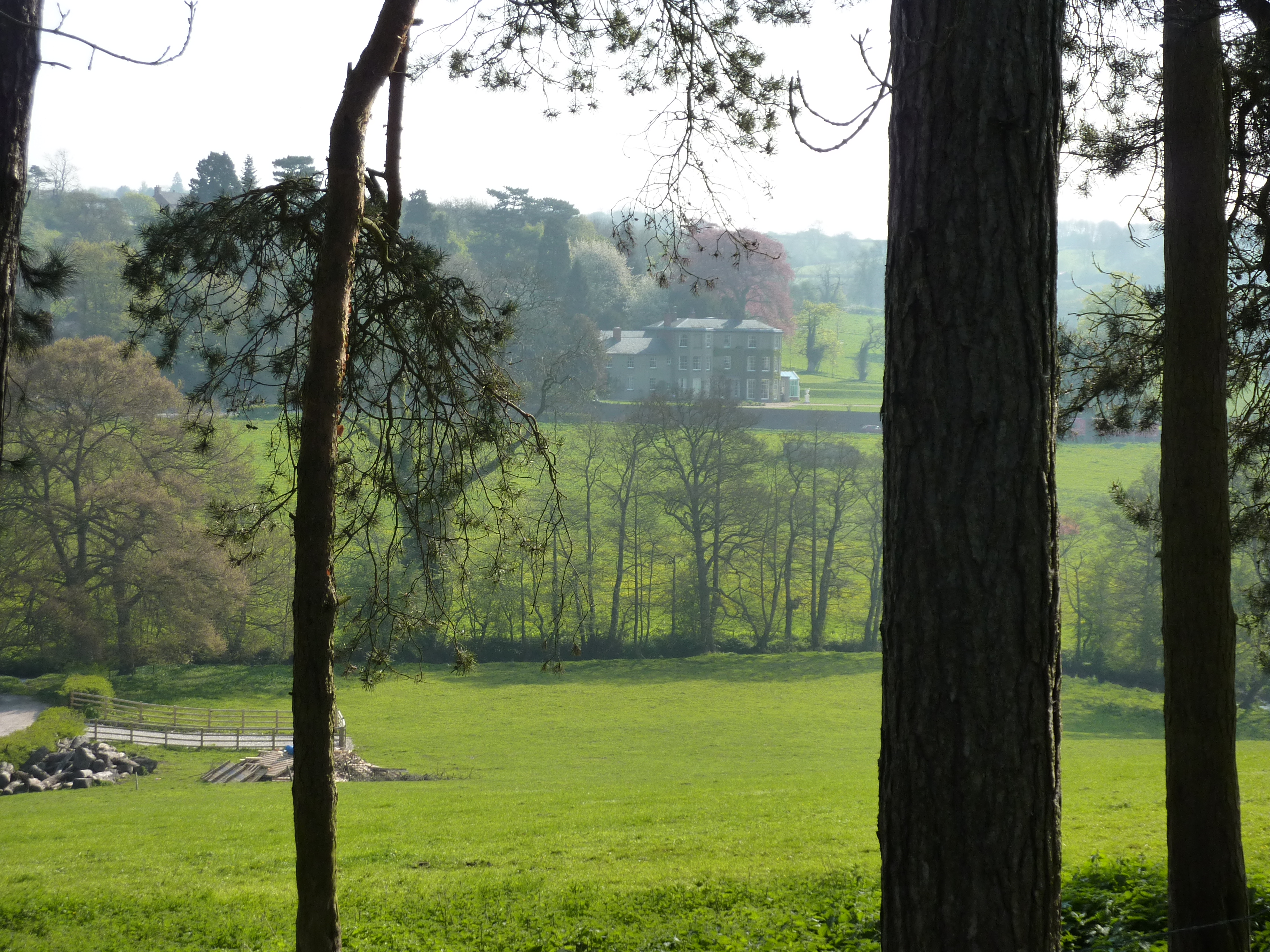
The parish is predominantly rural, consisting of two small hamlets, Offcote and Underwood, which are located around 2 miles apart. Offcote is the larger of the two settlements and is situated on a hill overlooking the River Dove. Underwood, on the other hand, is a smaller hamlet nestled in a picturesque valley.
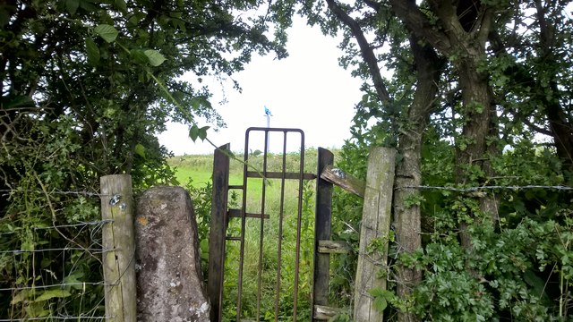
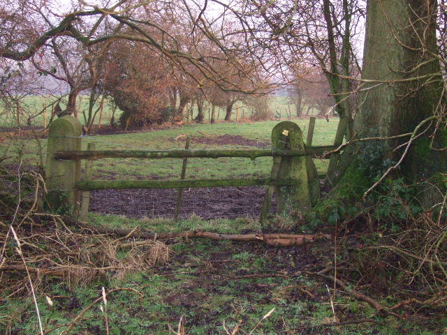
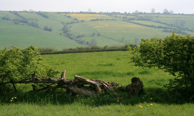
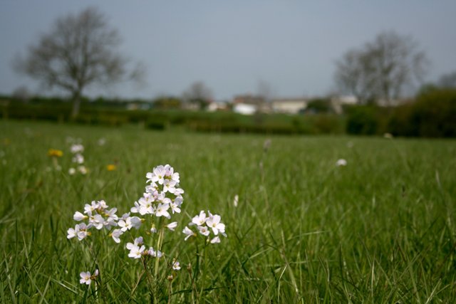
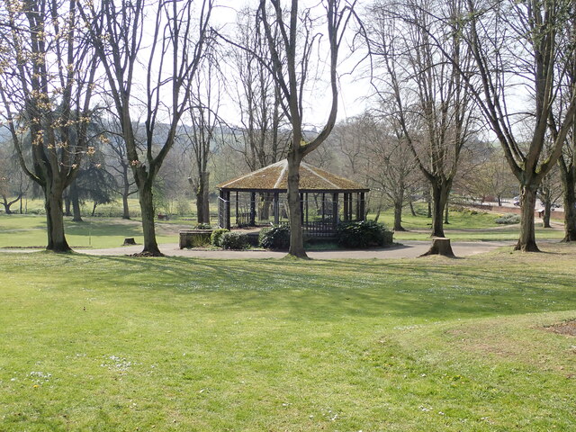
The landscape of Offcote and Underwood is characterized by rolling hills, open fields, and woodland areas. The area is known for its natural beauty, with stunning views and a peaceful atmosphere. It is a popular destination for outdoor activities such as walking, cycling, and birdwatching.
The parish has a rich history, with evidence of human habitation dating back to the Roman period. There are several historic buildings in the area, including St. Michael's Church in Underwood, which dates back to the 12th century.
Despite its rural nature, Offcote and Underwood is well-connected to nearby towns and cities. The A517 road runs through the parish, providing easy access to Ashbourne, Derby, and other surrounding areas.
Overall, Offcote and Underwood offers a tranquil and idyllic setting for those seeking a peaceful retreat in the heart of Derbyshire's countryside.
If you have any feedback on the listing, please let us know in the comments section below.
Offcote and Underwood Images
Images are sourced within 2km of 53.035946/-1.725894 or Grid Reference SK1848. Thanks to Geograph Open Source API. All images are credited.


Offcote and Underwood is located at Grid Ref: SK1848 (Lat: 53.035946, Lng: -1.725894)
Administrative County: Derbyshire
District: Derbyshire Dales
Police Authority: Derbyshire
What 3 Words
///peach.amps.scans. Near Ashbourne, Derbyshire
Nearby Locations
Related Wikis
Ashbourne Green
Ashbourne Green is an area of Derbyshire, England. It is located in the Peak District, 1 mile north-east of Ashbourne in the Offcote and Underwood parish...

Fenny Bentley
Fenny Bentley is a small village and civil parish located close to Dovedale in the Derbyshire Dales district of Derbyshire, England. The population in...

Queen Elizabeth's Grammar School, Ashbourne
Queen Elizabeth's School (QEGS) is a non-selective academy school for 11- to 18-year-olds in the town of Ashbourne, Derbyshire, England. In the academic...

St Edmund's Church, Fenny Bentley
St Edmund's Church, Fenny Bentley is a Grade II* listed parish church in the Church of England in Fenny Bentley, Derbyshire. == History == The church dates...

Ashbourne Hall
Ashbourne Hall is a Manor house originally built by the Cockayne family in the 13th century in Ashbourne, Derbyshire. The present building is part of a...
Woodeaves Canal
The Woodeaves Canal (sometimes hyphenated as Wood-Eaves) was a short, privately owned canal near Ashbourne, Derbyshire, England. It was a short waterway...
Offcote and Underwood
Offcote and Underwood is a civil parish within the Derbyshire Dales district, in the county of Derbyshire, England. Largely rural, in 2011 the parish had...

Ashbourne Town Hall
Ashbourne Town Hall is a municipal building in the Market Place, Ashbourne, Derbyshire, England. The town hall, which is the meeting place of Ashbourne...
Nearby Amenities
Located within 500m of 53.035946,-1.725894Have you been to Offcote and Underwood?
Leave your review of Offcote and Underwood below (or comments, questions and feedback).