Offchurch

Civil Parish in Warwickshire Warwick

England

Offchurch

HS2 enabling works, Welsh Road area, June 2021 (8) The plans show that HS2 will cross the Offchurch Greenway right here, just west of Sutton Spinney behind the camera. There is much earth to be moved to form a wide cutting. See <span class="nowrap"><a title="https://assets.publishing.service.gov.uk/government/uploads/system/uploads/attachment_data/file/532883/C223-CSI-CV-DPP-030-000003-FPD.pdf" rel="nofollow ugc noopener" href="https://assets.publishing.service.gov.uk/government/uploads/system/uploads/attachment_data/file/532883/C223-CSI-CV-DPP-030-000003-FPD.pdf">Link</a><img style="margin-left:2px;" alt="External link" title="External link - shift click to open in new window" src="https://s1.geograph.org.uk/img/external.png" width="10" height="10"/></span> just to the right of the 132+000 km mark. This view continues to the right with <a href="https://www.geograph.org.uk/photo/6907982">SP3665 : HS2 enabling works, Welsh Road area, June 2021 (9)</a>.
HS2 enabling works, Welsh Road area, June 2021 (8) Credit: Robin Stott

Offchurch is a civil parish located in the county of Warwickshire, England. Situated approximately six miles east-southeast of the town of Leamington Spa, it covers an area of around 1,200 hectares and has a population of just over 500 residents.

The village of Offchurch is nestled in the picturesque countryside, surrounded by rolling hills and farmland. It is known for its charming and traditional English village atmosphere, with a mix of historic buildings and modern homes. The centerpiece of the village is the All Saints Church, a Grade I listed building dating back to the 13th century. The church is renowned for its stunning architecture and hosts regular services and events.

Offchurch is also famous for its annual Offchurch Bury Horse Trials, a prestigious three-day eventing competition attracting competitors and spectators from across the country. The event takes place in the beautiful grounds of Offchurch Bury, a historic manor house.

The village offers a range of amenities for its residents, including a primary school, a village hall, and a pub. There are also various recreational opportunities available, such as walking and cycling trails in the surrounding countryside.

Offchurch's proximity to larger towns and cities, such as Leamington Spa and Coventry, provides residents with easy access to a wider range of services, shops, and entertainment options.

Overall, Offchurch is a charming and idyllic English village, offering a peaceful and rural lifestyle while still being conveniently located near larger urban areas.

If you have any feedback on the listing, please let us know in the comments section below.
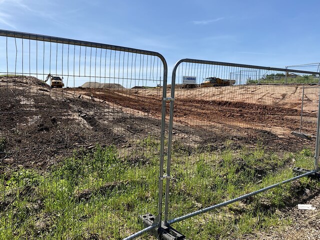
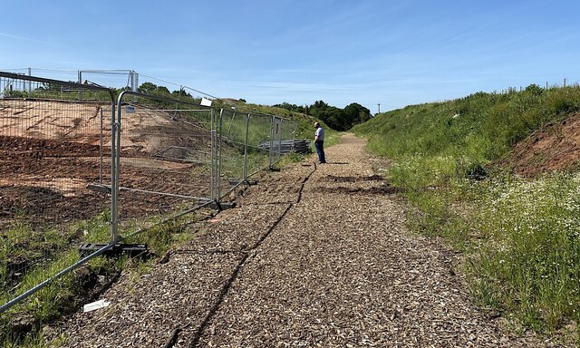
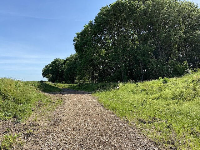
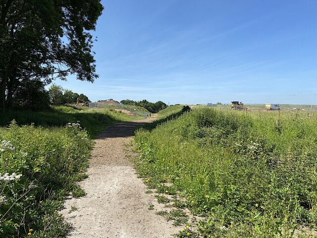
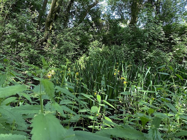
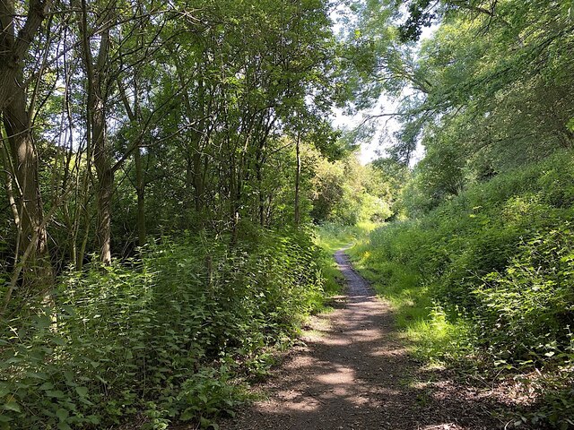
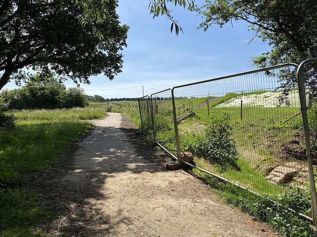
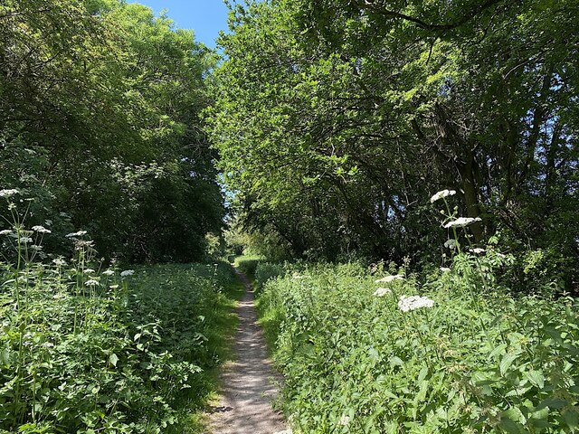
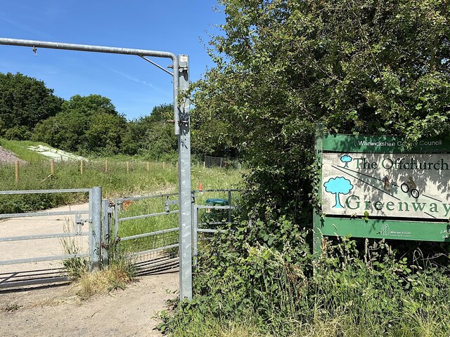
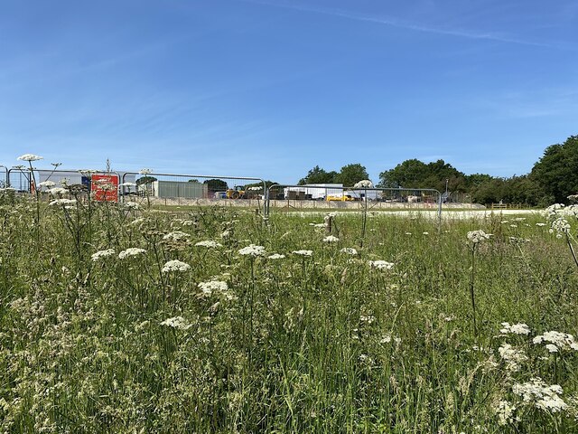
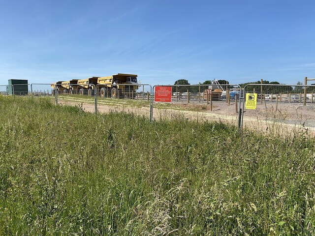
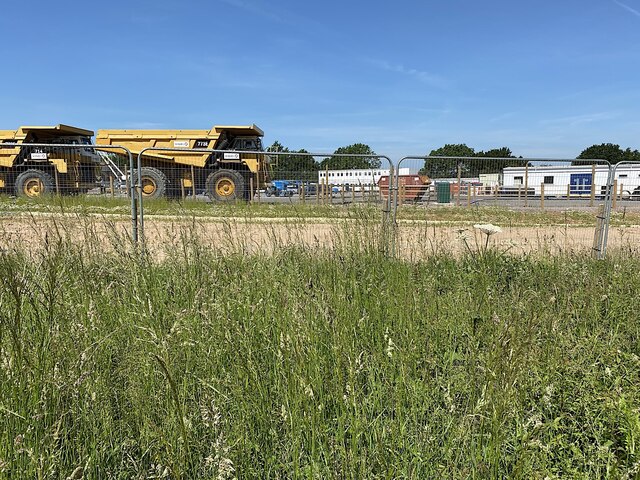
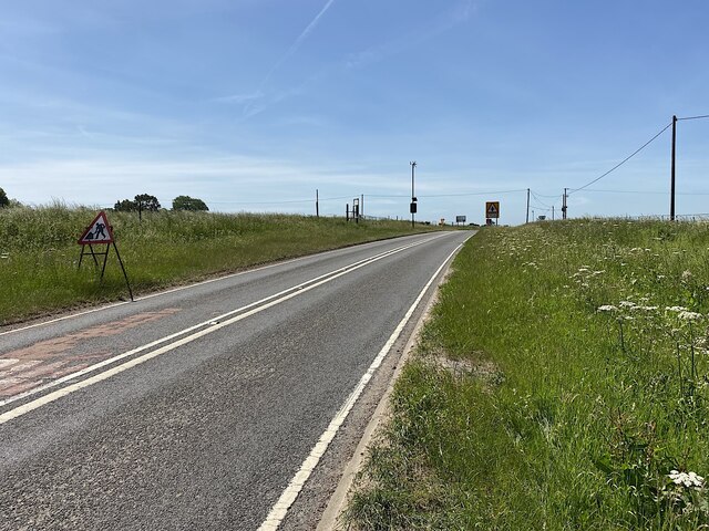
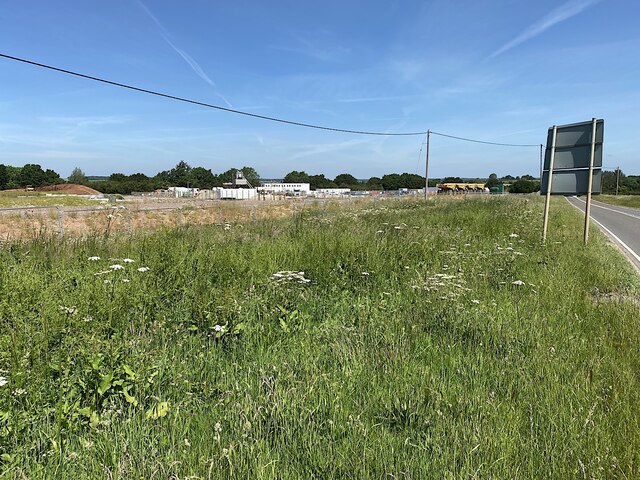
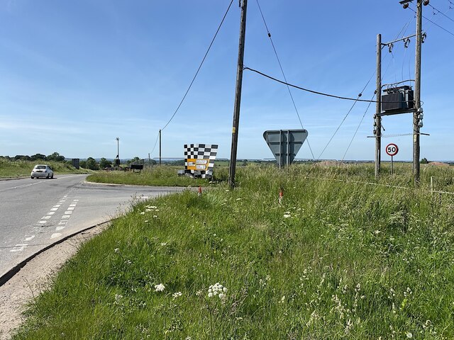
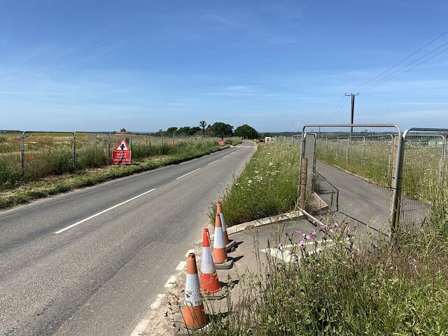
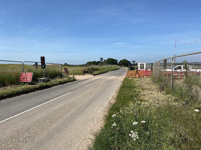
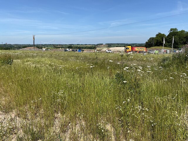
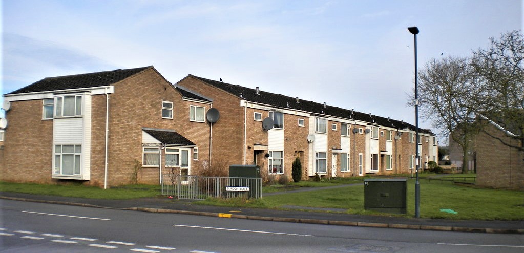
Offchurch Images

Images are sourced within 2km of 52.287423/-1.46436 or Grid Reference SP3665. Thanks to Geograph Open Source API. All images are credited.

HS2 enabling works, Welsh Road area, June 2021 (8) The plans show that HS2 will cross the Offchurch Greenway right here, just west of Sutton Spinney behind the camera. There is much earth to be moved to form a wide cutting. See <span class="nowrap"><a title="https://assets.publishing.service.gov.uk/government/uploads/system/uploads/attachment_data/file/532883/C223-CSI-CV-DPP-030-000003-FPD.pdf" rel="nofollow ugc noopener" href="https://assets.publishing.service.gov.uk/government/uploads/system/uploads/attachment_data/file/532883/C223-CSI-CV-DPP-030-000003-FPD.pdf">Link</a><img style="margin-left:2px;" alt="External link" title="External link - shift click to open in new window" src="https://s1.geograph.org.uk/img/external.png" width="10" height="10"/></span> just to the right of the 132+000 km mark. This view continues to the right with <a href="https://www.geograph.org.uk/photo/6907982">SP3665 : HS2 enabling works, Welsh Road area, June 2021 (9)</a>.
HS2 enabling works, Welsh Road area, June 2021 (8)
The plans show that HS2 will cross the Offchurch Greenway right here, just west of Sutton Spinney behind the camera. There is much earth to be moved to form a wide cutting. See LinkExternal link just to the right of the 132+000 km mark. This view continues to the right with SP3665 : HS2 enabling works, Welsh Road area, June 2021 (9).
HS2 enabling works, Welsh Road area, June 2021 (9) The plans show that HS2 will cross the Offchurch Greenway right here, just west of Sutton Spinney behind the camera. See <span class="nowrap"><a title="https://assets.publishing.service.gov.uk/government/uploads/system/uploads/attachment_data/file/532883/C223-CSI-CV-DPP-030-000003-FPD.pdf" rel="nofollow ugc noopener" href="https://assets.publishing.service.gov.uk/government/uploads/system/uploads/attachment_data/file/532883/C223-CSI-CV-DPP-030-000003-FPD.pdf">Link</a><img style="margin-left:2px;" alt="External link" title="External link - shift click to open in new window" src="https://s1.geograph.org.uk/img/external.png" width="10" height="10"/></span> just to the right of the 132+000 km mark The man observing the work was from one of the contractors. He was courteous, informed, and relaxed in talking about work in progress here and elsewhere including changes to the published plans. This view continues to the left with <a href="https://www.geograph.org.uk/photo/6907972">SP3665 : HS2 enabling works, Welsh Road area, June 2021 (8)</a>.
HS2 enabling works, Welsh Road area, June 2021 (9)
The plans show that HS2 will cross the Offchurch Greenway right here, just west of Sutton Spinney behind the camera. See LinkExternal link just to the right of the 132+000 km mark The man observing the work was from one of the contractors. He was courteous, informed, and relaxed in talking about work in progress here and elsewhere including changes to the published plans. This view continues to the left with SP3665 : HS2 enabling works, Welsh Road area, June 2021 (8).
Sutton Spinney, Offchurch Greenway HS2 will run just behind the camera. The Greenway will cross the line by a bike-friendly 'green overbridge', touching down somewhere ahead.
Sutton Spinney, Offchurch Greenway
HS2 will run just behind the camera. The Greenway will cross the line by a bike-friendly 'green overbridge', touching down somewhere ahead.
HS2 enabling works, Welsh Road area, June 2021 (10) HS2 will cross the picture in a cutting. Earthworks have some way to go. The Offchurch Greenway will cross the line by a 'green overbridge'.
HS2 enabling works, Welsh Road area, June 2021 (10)
HS2 will cross the picture in a cutting. Earthworks have some way to go. The Offchurch Greenway will cross the line by a 'green overbridge'.
Flag Iris in a pond by the Offchurch Greenway
Northeast on the Offchurch Greenway, northeast of Sutton Spinney
Northeastern end of the Offchurch Greenway The Greenway leaves the line of the former railway and turns southeast to exit on to the B4455 Fosse Way. To the right is the boundary of a large site occupied by HS2 contractors.
Northeastern end of the Offchurch Greenway
The Greenway leaves the line of the former railway and turns southeast to exit on to the B4455 Fosse Way. To the right is the boundary of a large site occupied by HS2 contractors.
Southwest on the Offchurch Greenway from its northeastern end
Northeast end of the Offchurch Greenway The approach from the small setback from the fast B4455 Fosse Way. In the background is the northeast end of a large site occupied by the HS2 contractors.
Northeast end of the Offchurch Greenway
The approach from the small setback from the fast B4455 Fosse Way. In the background is the northeast end of a large site occupied by the HS2 contractors.
HS2 enabling works, Welsh Road area, June 2021 (11) This is the northeast edge of what turned out to be a large compound for HS2 contractors, seen from Fosse Way verge.
HS2 enabling works, Welsh Road area, June 2021 (11)
This is the northeast edge of what turned out to be a large compound for HS2 contractors, seen from Fosse Way verge.
HS2 enabling works, Welsh Road area, June 2021 (12) Another view from beside the Fosse Way into the contractors' compound. The four giant dump trucks are a reminder of the amassing of machines seen up the line near the canal: <a href="https://www.geograph.org.uk/photo/6890450">SP3864 : HS2 enabling works, Welsh Road area, April 2021 (9)</a>.
HS2 enabling works, Welsh Road area, June 2021 (12)
Another view from beside the Fosse Way into the contractors' compound. The four giant dump trucks are a reminder of the amassing of machines seen up the line near the canal: SP3864 : HS2 enabling works, Welsh Road area, April 2021 (9).
HS2 enabling works, Welsh Road area, June 2021 (13) Another view from beside the Fosse Way into the contractors' compound. It felt like a village. With each laborious step along the verge my jaw dropped a little bit further. The site occupies much of the area bounded by the Offchurch Greenway, Fosse Way, and the Long Itchington Road – seven hectares at a rough estimate. Sutton Spinney does not appear to be included in the site. Are they offices in the distance, or accommodation?
HS2 enabling works, Welsh Road area, June 2021 (13)
Another view from beside the Fosse Way into the contractors' compound. It felt like a village. With each laborious step along the verge my jaw dropped a little bit further. The site occupies much of the area bounded by the Offchurch Greenway, Fosse Way, and the Long Itchington Road – seven hectares at a rough estimate. Sutton Spinney does not appear to be included in the site. Are they offices in the distance, or accommodation?
HS2 enabling works, Welsh Road area, June 2021 (14) Southwest on Fosse Way approaching the junction with the Long Itchington Road. The plans show realignments and new provision between the 131 and 132 kilometre marks <span class="nowrap"><a title="https://assets.publishing.service.gov.uk/government/uploads/system/uploads/attachment_data/file/532883/C223-CSI-CV-DPP-030-000003-FPD.pdf" rel="nofollow ugc noopener" href="https://assets.publishing.service.gov.uk/government/uploads/system/uploads/attachment_data/file/532883/C223-CSI-CV-DPP-030-000003-FPD.pdf">Link</a><img style="margin-left:2px;" alt="External link" title="External link - shift click to open in new window" src="https://s1.geograph.org.uk/img/external.png" width="10" height="10"/></span>
HS2 enabling works, Welsh Road area, June 2021 (14)
Southwest on Fosse Way approaching the junction with the Long Itchington Road. The plans show realignments and new provision between the 131 and 132 kilometre marks LinkExternal link
HS2 enabling works, Welsh Road area, June 2021 (15) This is the northern end of the large contractors' compound between the B4455 Fosse Way, right, and the Offchurch Greenway in the background. At a rough estimate it occupies seven hectares.
HS2 enabling works, Welsh Road area, June 2021 (15)
This is the northern end of the large contractors' compound between the B4455 Fosse Way, right, and the Offchurch Greenway in the background. At a rough estimate it occupies seven hectares.
HS2 enabling works, Welsh Road area, June 2021 (16) The camera is looking southwest from the northwest corner of a crossroads where the B4455 Fosse Way, left, is crossed by the Long Itchington Road from the direction of Offchurch. The battered sign relates to the Fosse and should be seen from across the busy, nerve-racking junction. HS2 will cross the Fosse down the road between here and the Welsh Road crossroads. The latter will be remodelled as a roundabout: much safer. This side of the Long Itchington Road will be stopped up and the eastern leg will turn off a realigned Fosse Way a little to the right of and behind the camera. <span class="nowrap"><a title="https://assets.publishing.service.gov.uk/government/uploads/system/uploads/attachment_data/file/532883/C223-CSI-CV-DPP-030-000003-FPD.pdf" rel="nofollow ugc noopener" href="https://assets.publishing.service.gov.uk/government/uploads/system/uploads/attachment_data/file/532883/C223-CSI-CV-DPP-030-000003-FPD.pdf">Link</a><img style="margin-left:2px;" alt="External link" title="External link - shift click to open in new window" src="https://s1.geograph.org.uk/img/external.png" width="10" height="10"/></span>
HS2 enabling works, Welsh Road area, June 2021 (16)
The camera is looking southwest from the northwest corner of a crossroads where the B4455 Fosse Way, left, is crossed by the Long Itchington Road from the direction of Offchurch. The battered sign relates to the Fosse and should be seen from across the busy, nerve-racking junction. HS2 will cross the Fosse down the road between here and the Welsh Road crossroads. The latter will be remodelled as a roundabout: much safer. This side of the Long Itchington Road will be stopped up and the eastern leg will turn off a realigned Fosse Way a little to the right of and behind the camera. LinkExternal link
HS2 enabling works, Welsh Road area, June 2021 (17) HS2 will cross the picture here in a cutting. The Long Itchington Road from the direction of Offchurch will be stopped up to serve only the property among the distant trees.
HS2 enabling works, Welsh Road area, June 2021 (17)
HS2 will cross the picture here in a cutting. The Long Itchington Road from the direction of Offchurch will be stopped up to serve only the property among the distant trees.
HS2 enabling works, Welsh Road area, June 2021 (18) HS2 will cross the picture in a cutting near here. Heavy plant was going back and forth across Long Itchington Road from the contractors' compound, right, and the field, left. The man controlling the light signals was highly qualified, so he said, courteous, informed and jovial – the second person I'd met who created a good impression of HS2 and of themselves. I wondered if there had been some PR training.
HS2 enabling works, Welsh Road area, June 2021 (18)
HS2 will cross the picture in a cutting near here. Heavy plant was going back and forth across Long Itchington Road from the contractors' compound, right, and the field, left. The man controlling the light signals was highly qualified, so he said, courteous, informed and jovial – the second person I'd met who created a good impression of HS2 and of themselves. I wondered if there had been some PR training.
HS2 enabling works, Welsh Road area, June 2021 (18) This is the southern end of the contractors' compound that occupies much of the land between the Offchurch Greenway and the B4455 Fosse Way. HS2 will come through here eventually, heading for that notch on the skyline which is the swathe cut through South Cubbington Wood <a href="https://www.geograph.org.uk/photo/6765887">SP3568 : HS2 enabling works near Cubbington, February 2021 (8)</a>. Making a guest appearance in this photo is Eden Court, far left, a block of flats in Leamington and visible for miles around. This view continues to the right in <a href="https://www.geograph.org.uk/photo/6916995">SP3765 : HS2 enabling works, Welsh Road area, June 2021 (21)</a>.
HS2 enabling works, Welsh Road area, June 2021 (18)
This is the southern end of the contractors' compound that occupies much of the land between the Offchurch Greenway and the B4455 Fosse Way. HS2 will come through here eventually, heading for that notch on the skyline which is the swathe cut through South Cubbington Wood SP3568 : HS2 enabling works near Cubbington, February 2021 (8). Making a guest appearance in this photo is Eden Court, far left, a block of flats in Leamington and visible for miles around. This view continues to the right in SP3765 : HS2 enabling works, Welsh Road area, June 2021 (21).
Show me another place!

Offchurch is located at Grid Ref: SP3665 (Lat: 52.287423, Lng: -1.46436)

Administrative County: Warwickshire

District: Warwick

Police Authority: Warwickshire

What 3 Words

///passes.pancakes.ulterior. Near Royal Leamington Spa, Warwickshire

Nearby Locations

Offchurch

Related Wikis

Offchurch

Offchurch is a village and civil parish on the River Leam, 3 miles (4.8 km) east of Leamington Spa in Warwickshire. The population of the civil parish...

Offchurch Bury

Offchurch Bury is a manor house one mile north-west of the centre of the village of Offchurch, Warwickshire, England. It is supposed to represent the...

Radford Semele

Radford Semele is a village and civil parish in Warwickshire, England, situated close to the Regency spa town of Leamington Spa. According to the 2001...

Hunningham

Hunningham is a small village and civil parish in Warwickshire, England. It is 3 miles to the north-east of Leamington Spa, within the Radford Semele ward...

Cubbington Pear Tree

The Cubbington Pear Tree was a wild pear tree located near Cubbington in Warwickshire, England. Around 250 years old, it was the second largest wild pear...

Bascote Locks

Bascote locks form a flight of four locks on the Grand Union Canal, which is part of the British canal system and connects London and Birmingham. The lock...

Eden Court, Leamington Spa

Eden Court is a high-rise residential building belonging to Warwick District Council located in Lillington, Leamington Spa, England. Construction on the...

Sydenham, Leamington Spa

Sydenham is an eastern suburb of the town of Leamington Spa, Warwickshire, England. Prior to the 1960s the area was rural, with only agricultural buildings...

Nearby Amenities

Located within 500m of 52.287423,-1.46436
Barrier: kissing_gate
Lat/Long: 52.2867987/-1.4651733
Barrier: kissing_gate
Lat/Long: 52.2869676/-1.4651624
Give Way
Direction: forward
Source: Warwicks CC Aerial Imagery 2013
Lat/Long: 52.2865553/-1.4698778
Give Way
Direction: backward
Source: Warwicks CC Aerial Imagery 2013
Lat/Long: 52.2868834/-1.4650457
Barrier: kissing_gate
Lat/Long: 52.2869881/-1.4712289
Barrier: kissing_gate
Lat/Long: 52.289116/-1.4708544
Brand: National Grid
Brand Wikidata: Q1465461
Material: wood
Operator: National Grid Electricity Distribution
Operator Old: Western Power Distribution
Operator Wikidata: Q7988183
Owner: National Grid Electricity Distribution (East Midlands) Plc
Owner Wikidata: Q114348127
Power: pole
Lat/Long: 52.2904511/-1.4696959
Brand: National Grid
Brand Wikidata: Q1465461
Material: wood
Operator: National Grid Electricity Distribution
Operator Old: Western Power Distribution
Operator Wikidata: Q7988183
Owner: National Grid Electricity Distribution (East Midlands) Plc
Owner Wikidata: Q114348127
Power: pole
Lat/Long: 52.2895716/-1.4687373
Brand: National Grid
Brand Wikidata: Q1465461
Material: wood
Operator: National Grid Electricity Distribution
Operator Old: Western Power Distribution
Operator Wikidata: Q7988183
Owner: National Grid Electricity Distribution (East Midlands) Plc
Owner Wikidata: Q114348127
Power: pole
Lat/Long: 52.289373/-1.4673698
Brand: National Grid
Brand Wikidata: Q1465461
Material: wood
Operator: National Grid Electricity Distribution
Operator Old: Western Power Distribution
Operator Wikidata: Q7988183
Owner: National Grid Electricity Distribution (East Midlands) Plc
Owner Wikidata: Q114348127
Power: pole
Lat/Long: 52.2896811/-1.469827
Brand: National Grid
Brand Wikidata: Q1465461
Location Transition: yes
Material: wood
Operator: National Grid Electricity Distribution
Operator Old: Western Power Distribution
Operator Wikidata: Q7988183
Owner: National Grid Electricity Distribution (East Midlands) Plc
Owner Wikidata: Q114348127
Power: pole
Lat/Long: 52.2890266/-1.4702015
Brand: National Grid
Brand Wikidata: Q1465461
Material: wood
Operator: National Grid Electricity Distribution
Operator Old: Western Power Distribution
Operator Wikidata: Q7988183
Owner: National Grid Electricity Distribution (East Midlands) Plc
Owner Wikidata: Q114348127
Power: pole
Lat/Long: 52.2891534/-1.4659551
Brand: National Grid
Brand Wikidata: Q1465461
Material: wood
Operator: National Grid Electricity Distribution
Operator Old: Western Power Distribution
Operator Wikidata: Q7988183
Owner: National Grid Electricity Distribution (East Midlands) Plc
Owner Wikidata: Q114348127
Power: pole
Lat/Long: 52.2889554/-1.4646392
Brand: National Grid
Brand Wikidata: Q1465461
Material: wood
Operator: National Grid Electricity Distribution
Operator Old: Western Power Distribution
Operator Wikidata: Q7988183
Owner: National Grid Electricity Distribution (East Midlands) Plc
Owner Wikidata: Q114348127
Power: pole
Lat/Long: 52.2887607/-1.4633368
Brand: National Grid
Brand Wikidata: Q1465461
Material: wood
Operator: National Grid Electricity Distribution
Operator Old: Western Power Distribution
Operator Wikidata: Q7988183
Owner: National Grid Electricity Distribution (East Midlands) Plc
Owner Wikidata: Q114348127
Power: pole
Lat/Long: 52.2885693/-1.4621263
Brand: National Grid
Brand Wikidata: Q1465461
Material: wood
Operator: National Grid Electricity Distribution
Operator Old: Western Power Distribution
Operator Wikidata: Q7988183
Owner: National Grid Electricity Distribution (East Midlands) Plc
Owner Wikidata: Q114348127
Power: pole
Lat/Long: 52.2879041/-1.461087
Brand: National Grid
Brand Wikidata: Q1465461
Location Transition: yes
Material: wood
Operator: National Grid Electricity Distribution
Operator Old: Western Power Distribution
Operator Wikidata: Q7988183
Owner: National Grid Electricity Distribution (East Midlands) Plc
Owner Wikidata: Q114348127
Power: pole
Lat/Long: 52.287416/-1.4603422
Brand: National Grid
Brand Wikidata: Q1465461
Material: wood
Operator: National Grid Electricity Distribution
Operator Old: Western Power Distribution
Operator Wikidata: Q7988183
Owner: National Grid Electricity Distribution (East Midlands) Plc
Owner Wikidata: Q114348127
Power: pole
Lat/Long: 52.2883429/-1.4617752
Colour: Red
Inscription: NTS
Marker: post
Utility: gas
Lat/Long: 52.2864944/-1.4697405
Colour: Red
Inscription: NTS
Marker: post
Utility: gas
Lat/Long: 52.2865972/-1.4696108
The data included in this document is from www.openstreetmap.org. The data is made available under ODbL.

Have you been to Offchurch?

Leave your review of Offchurch below (or comments, questions and feedback).