Norton

Civil Parish in Yorkshire Doncaster

England

Norton

Campsall Road, Askern
Campsall Road, Askern Credit: Richard Vince

Norton is a civil parish located in the Ryedale district of North Yorkshire, England. It is situated approximately 20 miles north of York and 7 miles east of Malton. The area covers a total land area of around 6.5 square miles.

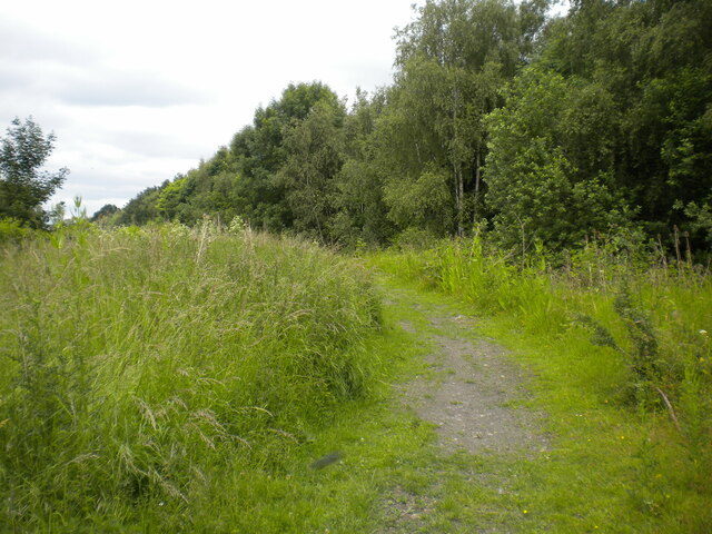
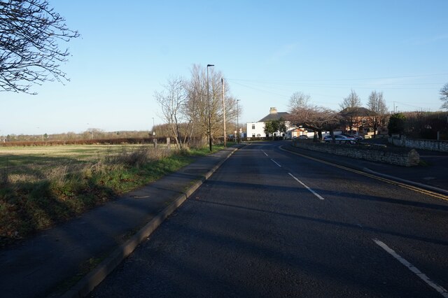
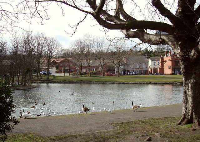
Norton is a small village with a population of about 3,000 residents. It is known for its picturesque countryside and charming rural setting. The village is surrounded by rolling hills, farmland, and woodland, providing a tranquil and idyllic atmosphere.

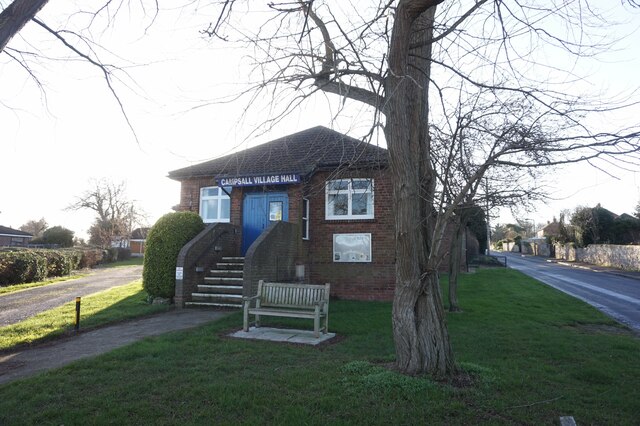
The parish is home to a range of amenities and facilities, including a primary school, a church, a village hall, and a few local shops. There are also several pubs and restaurants, offering a variety of dining options for both residents and visitors.

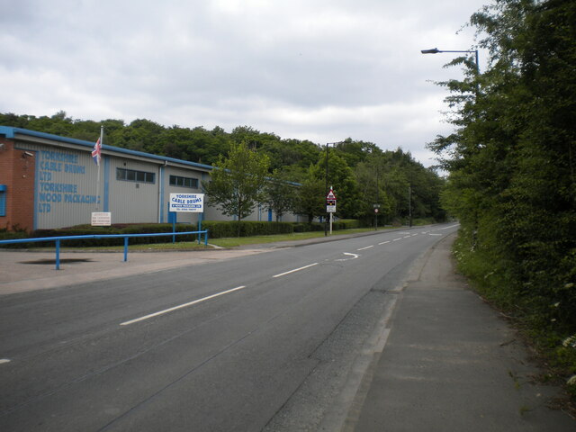
Norton is well-connected to the nearby towns and cities by road and rail. The A64 road runs through the village, providing easy access to York, Scarborough, and the wider region. The village also has a train station, which offers regular services to York and other destinations.

The area is rich in history and heritage, with several historic buildings and landmarks. Norton Priory, a former Augustinian priory dating back to the 12th century, is a notable architectural site. Additionally, there are numerous walking and cycling trails in the surrounding countryside, allowing visitors to explore and appreciate the natural beauty of the area.

If you have any feedback on the listing, please let us know in the comments section below.
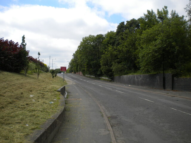
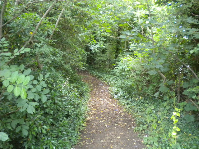
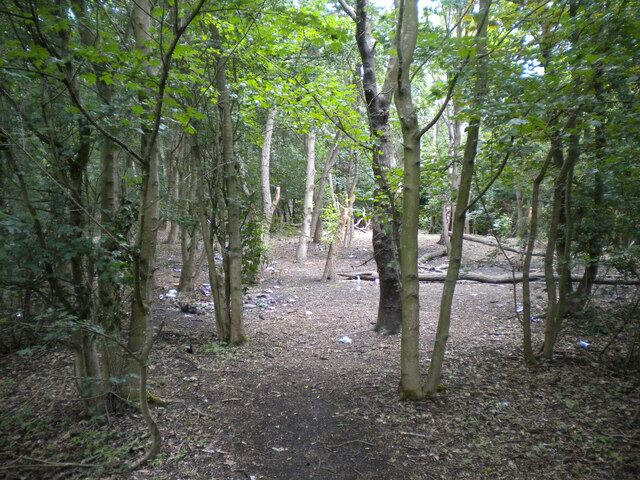
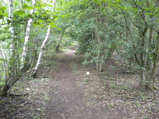
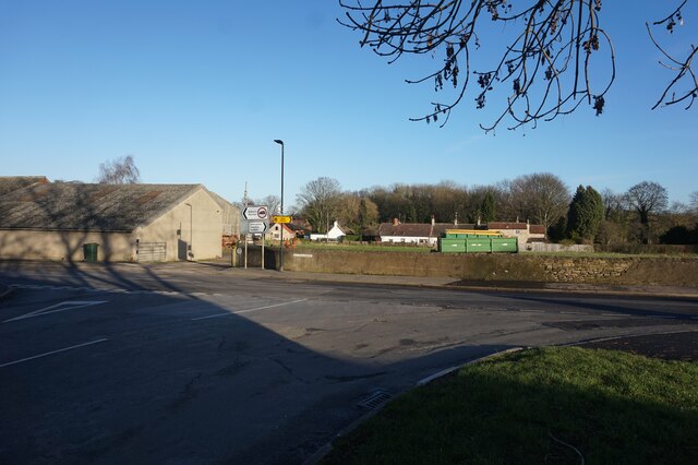
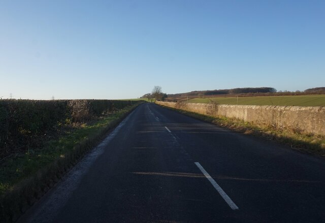
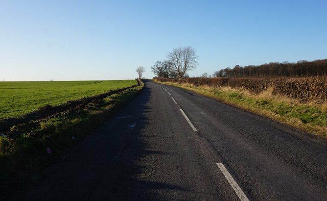
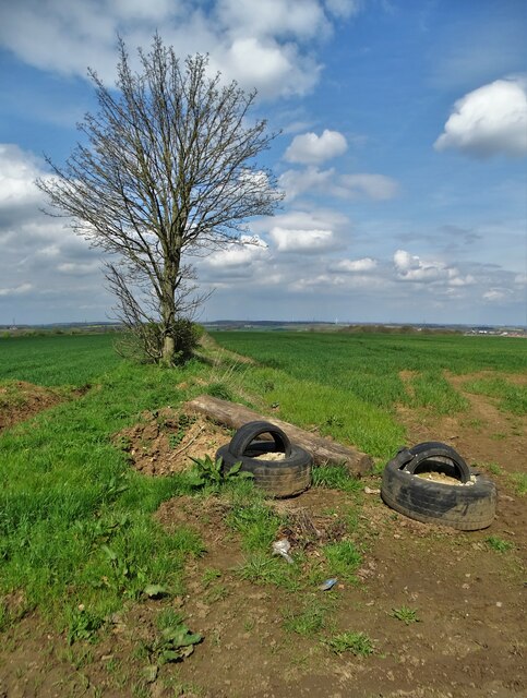
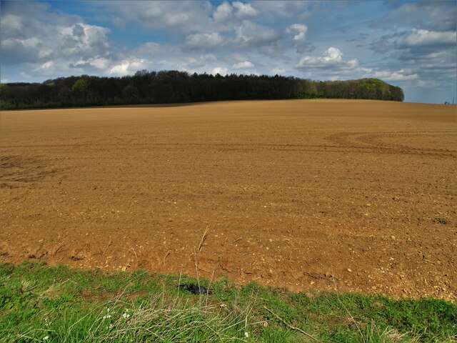
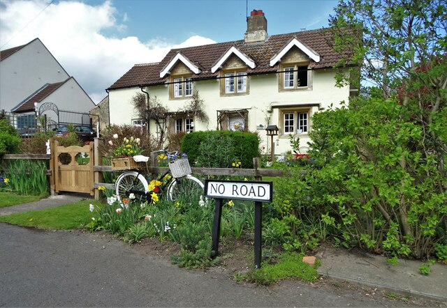
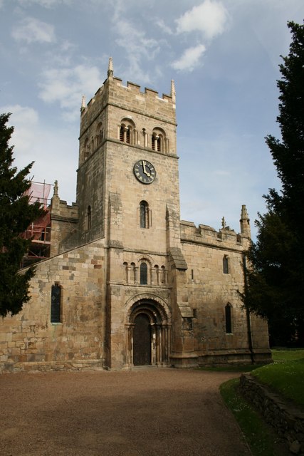
Norton Images

Images are sourced within 2km of 53.622587/-1.183287 or Grid Reference SE5414. Thanks to Geograph Open Source API. All images are credited.

Campsall Road, Askern
Public footpath off Campsall Road, Askern
Woodland north of Askern Unfortunately playing host to a fair amount of litter.
Woodland north of Askern
Unfortunately playing host to a fair amount of litter.
Footpath through woodland north of Askern Heading towards Norton.
Footpath through woodland north of Askern
Heading towards Norton.
Track north of Askern Threading a course between a solar farm (out of frame to the left) and woodland (right).
Track north of Askern
Threading a course between a solar farm (out of frame to the left) and woodland (right).
Selby Road leaving Askern Passing some industrial premises as it leaves the town.
Selby Road leaving Askern
Passing some industrial premises as it leaves the town.
Entrance to industrial premises, Askern Off Selby Road.
Entrance to industrial premises, Askern
Off Selby Road.
Willowbridge Road at Greengang Road
Church Field Road, Campsall
Sutton Road at Bone Lane, Campsall
Campsall Village Hall
New Road towards the A1 at Barnsdale Bar
Woodfield Road at New Close Lane
Woodfield Road towards the A1 at Barnsdale Bar
Farmland west of Barnsdale Wood Complete with old tyres
Farmland west of Barnsdale Wood
Complete with old tyres
Farmland north of Woodfield Road Looking towards Barnsdale Wood
Farmland north of Woodfield Road
Looking towards Barnsdale Wood
Woodfield Road and New Close Lane junction
"No Road"  and a house at Campsall
"No Road" and a house at Campsall
Show me another place!

Norton is located at Grid Ref: SE5414 (Lat: 53.622587, Lng: -1.183287)

Division: West Riding

Administrative County: South Yorkshire

District: Doncaster

Police Authority: South Yorkshire

What 3 Words

///guitars.diets.beaker. Near Campsall, South Yorkshire

Related Wikis

Campsmount Academy

Campsmount Academy is a coeducational secondary school and sixth form located in Norton, South Yorkshire, England. Originally known as Campsmount School...

Campsall

Campsall is a village and former civil parish, now in the parish of Norton, in the Doncaster district, in the county of South Yorkshire, England. It lies...

St Mary Magdalene, Campsall

St Mary Magdalene is a parish church in the Church of England in Campsall in South Yorkshire. It is Grade I listed. There is a service every Sunday at...

Norton, Doncaster

Norton is a village and civil parish in the City of Doncaster, South Yorkshire, England, on the borders with North and West Yorkshire. The civil parish...

Norton railway station (South Yorkshire)

Norton (South Yorkshire) railway station was a railway station to serve Norton, South Yorkshire, England. It was built by the Wakefield, Pontefract and...

Sutton, South Yorkshire

Sutton is a small village and former civil parish, now in the parish of Norton, in the City of Doncaster in South Yorkshire, England. It lies at approximately...

Norton & Askern (ward)

Norton & Askern—consisting of the town of Askern, Braithwaite, Burghwallis, Campsall, Fenwick, Fishlake, Fosterhouses, Kirk Bramwith, Moss, Norton, Owston...

Askern

Askern () is a town and civil parish within the City of Doncaster, in South Yorkshire, England. It is on the A19 road between Doncaster and Selby. Historically...

Nearby Amenities

Located within 500m of 53.622587,-1.183287
Campsall
Is In: South Yorkshire, England, UK
Place: village
Wikidata: Q19654771
Wikipedia: en:Campsall
Lat/Long: 53.6182469/-1.18245
Bus Stop
Ryecroft Road/Campsall Cemetery
Alt Name: Ryecroft Road/Campsall Cemetery
Naptan AltCommonName: Ryecroft Road/Campsall Cemetery
Naptan AtcoCode: 370040077
Naptan Bearing: NW
Naptan CommonName: Ryecroft Road/Campsall Cemetery
Naptan Indicator: 40077
Naptan Landmark: Campsall Cemetery
Naptan PlusbusZoneRef: ROTHCEN
Naptan Street: Ryecroft Road
Naptan Verified: no
Source: naptan_import
Lat/Long: 53.6238525/-1.1798569
Bus Stop
Ryecroft Road/Campsmount School
Alt Name: Ryecroft Road/Campsmount School
Naptan AltCommonName: Ryecroft Road/Campsmount School
Naptan AtcoCode: 370040078
Naptan Bearing: NW
Naptan CommonName: Ryecroft Road/Campsmount School
Naptan Indicator: 40078
Naptan Landmark: 40078
Naptan PlusbusZoneRef: ROTHCEN
Naptan Street: Ryecroft Road
Naptan Verified: no
Source: naptan_import
Lat/Long: 53.6254164/-1.181142
Bus Stop
Church Field Road/Campsall Balk
Naptan AtcoCode: 370040085
Naptan Bearing: NW
Naptan CommonName: Church Field Road/Campsall Balk
Naptan Indicator: 40085
Naptan Landmark: 40085
Naptan PlusbusZoneRef: ROTHCEN
Naptan Street: Church Field Road
Naptan Verified: no
Source: naptan_import
Lat/Long: 53.623645/-1.1771242
Bus Stop
Sutton Road/Back Lane
Alt Name: Sutton Road/Back Lane
Naptan AltCommonName: Sutton Road/Back Lane
Naptan AtcoCode: 370040074
Naptan Bearing: N
Naptan CommonName: Sutton Road/Back Lane
Naptan Indicator: 40074
Naptan Landmark: Poplar Farm
Naptan PlusbusZoneRef: ROTHCEN
Naptan Street: Sutton Road
Naptan Verified: no
Source: naptan_import
Lat/Long: 53.6181671/-1.1831419
Bus Stop
High Street/Church View
Alt Name: High Street/Church View
Naptan AltCommonName: High Street/Church View
Naptan AtcoCode: 370040075
Naptan Bearing: SW
Naptan CommonName: High Street/Church View
Naptan Indicator: 40075
Naptan Landmark: 40075
Naptan PlusbusZoneRef: ROTHCEN
Naptan Street: High Street
Naptan Verified: no
Source: naptan_import
Lat/Long: 53.6193886/-1.1790514
Bus Stop
The Avenue/Byron Avenue
Alt Name: The Avenue/Byron Avenue
Naptan AltCommonName: The Avenue/Byron Avenue
Naptan AtcoCode: 370040076
Naptan Bearing: S
Naptan CommonName: The Avenue/Byron Avenue
Naptan Indicator: 40076
Naptan Landmark: Streetlight No 01644
Naptan PlusbusZoneRef: ROTHCEN
Naptan Street: The Avenue
Naptan Verified: no
Source: naptan_import
Lat/Long: 53.6218688/-1.1789579
Bus Stop
Church Field Road/Campsall Balk
Naptan AtcoCode: 370045253
Naptan Bearing: SE
Naptan CommonName: Church Field Road/Campsall Balk
Naptan Indicator: 45253
Naptan Landmark: 45253
Naptan PlusbusZoneRef: ROTHCEN
Naptan Street: Church Field Road
Naptan Verified: no
Source: naptan_import
Lat/Long: 53.6235314/-1.1762948
High Street/Church View
Alt Name: High Street/Church View
Naptan AltCommonName: High Street/Church View
Naptan AtcoCode: 370045868
Naptan Bearing: NE
Naptan BusStopType: CUS
Naptan CommonName: High Street/Church View
Naptan Indicator: 45868
Naptan Landmark: OUTSIDE OLD BELLS PUBLIC HOUSE
Naptan PlusbusZoneRef: ROTHCEN
Naptan Street: High Street
Naptan Verified: no
Source: naptan_import
Lat/Long: 53.6194707/-1.1792312
Sutton Road/Back Lane
Alt Name: Sutton Road/Back Lane
Naptan AltCommonName: Sutton Road/Back Lane
Naptan AtcoCode: 370045911
Naptan Bearing: S
Naptan BusStopType: CUS
Naptan CommonName: Sutton Road/Back Lane
Naptan Indicator: 45911
Naptan Landmark: POPLAR FARM
Naptan PlusbusZoneRef: ROTHCEN
Naptan Street: Sutton Road
Naptan Verified: no
Source: naptan_import
Lat/Long: 53.6181027/-1.1829163
The Avenue/Byron Avenue
Alt Name: The Avenue/Byron Avenue
Naptan AltCommonName: The Avenue/Byron Avenue
Naptan AtcoCode: 370045912
Naptan Bearing: N
Naptan BusStopType: CUS
Naptan CommonName: The Avenue/Byron Avenue
Naptan Indicator: 45912
Naptan Landmark: CAMPSALL & DISTRICT WMC
Naptan PlusbusZoneRef: ROTHCEN
Naptan Street: The Avenue
Naptan Verified: no
Source: naptan_import
Lat/Long: 53.6219426/-1.1792286
Ryecroft Road/Campsmount High School
Alt Name: Ryecroft Road/Campsmount High School
Naptan AltCommonName: Ryecroft Road/Campsmount High School
Naptan AtcoCode: 370046017
Naptan Bearing: SE
Naptan BusStopType: CUS
Naptan CommonName: Ryecroft Road/Campsmount High School
Naptan Indicator: 46017
Naptan Landmark: ADJ. CAMPSMOUNT SCHOOL
Naptan PlusbusZoneRef: ROTHCEN
Naptan Street: Ryecroft Road
Naptan Verified: no
Source: naptan_import
Lat/Long: 53.6254428/-1.1810659
Generator Method: photovoltaic
Generator Output Electricity: yes
Generator Source: solar
Generator Type: solar_photovoltaic_panel
Location: roof
Power: generator
Lat/Long: 53.6235453/-1.1784751
Generator Method: photovoltaic
Generator Output Electricity: yes
Generator Source: solar
Generator Type: solar_photovoltaic_panel
Location: roof
Power: generator
Lat/Long: 53.6227316/-1.1769569
Generator Method: photovoltaic
Generator Output Electricity: yes
Generator Source: solar
Generator Type: solar_photovoltaic_panel
Location: roof
Power: generator
Lat/Long: 53.6227451/-1.1770012
Generator Method: photovoltaic
Generator Output Electricity: yes
Generator Source: solar
Generator Type: solar_photovoltaic_panel
Location: roof
Power: generator
Lat/Long: 53.6230131/-1.1760517
Generator Method: photovoltaic
Generator Output Electricity: yes
Generator Source: solar
Generator Type: solar_photovoltaic_panel
Location: roof
Power: generator
Lat/Long: 53.6222328/-1.1758344
Generator Method: photovoltaic
Generator Output Electricity: yes
Generator Source: solar
Generator Type: solar_photovoltaic_panel
Location: roof
Power: generator
Lat/Long: 53.6221923/-1.1758733
Generator Method: photovoltaic
Generator Output Electricity: yes
Generator Source: solar
Generator Type: solar_photovoltaic_panel
Location: roof
Power: generator
Lat/Long: 53.6221692/-1.176155
Generator Method: photovoltaic
Generator Output Electricity: yes
Generator Source: solar
Generator Type: solar_photovoltaic_panel
Location: roof
Power: generator
Lat/Long: 53.6215042/-1.1786709
Generator Method: photovoltaic
Generator Output Electricity: yes
Generator Source: solar
Generator Type: solar_photovoltaic_panel
Location: roof
Power: generator
Lat/Long: 53.6207995/-1.1779762
Generator Method: photovoltaic
Generator Output Electricity: yes
Generator Source: solar
Generator Type: solar_photovoltaic_panel
Location: roof
Power: generator
Lat/Long: 53.621404/-1.1769221
Generator Method: photovoltaic
Generator Output Electricity: yes
Generator Source: solar
Generator Type: solar_photovoltaic_panel
Location: roof
Power: generator
Lat/Long: 53.6215559/-1.1769704
Generator Method: photovoltaic
Generator Output Electricity: yes
Generator Source: solar
Generator Type: solar_photovoltaic_panel
Location: roof
Power: generator
Lat/Long: 53.62154/-1.1768832
Generator Method: photovoltaic
Generator Output Electricity: yes
Generator Source: solar
Generator Type: solar_photovoltaic_panel
Location: roof
Power: generator
Lat/Long: 53.6215798/-1.1766096
Generator Method: photovoltaic
Generator Output Electricity: yes
Generator Source: solar
Generator Type: solar_photovoltaic_panel
Location: roof
Power: generator
Lat/Long: 53.6224826/-1.1820893
Generator Method: photovoltaic
Generator Output Electricity: yes
Generator Source: solar
Generator Type: solar_photovoltaic_panel
Location: roof
Power: generator
Lat/Long: 53.6248419/-1.1868684
Generator Method: photovoltaic
Generator Output Electricity: yes
Generator Source: solar
Generator Type: solar_photovoltaic_panel
Location: roof
Power: generator
Lat/Long: 53.625036/-1.186965
Crossing
Lat/Long: 53.6248322/-1.1824168
Shelter
Shelter Type: public_transport
Lat/Long: 53.6182278/-1.1831951
Advertising: board
Lat/Long: 53.6181863/-1.1831876
Post Box
Post Box Type: wall
Royal Cypher: EIIR
Royal Cypher Wikidata: Q33102113
Lat/Long: 53.6190679/-1.1801396
Post Box
Post Box Type: pillar
Royal Cypher: EIIR
Royal Cypher Wikidata: Q33102113
Lat/Long: 53.6228352/-1.1793088
Post Office
Campsall Post Office
Addr City: Doncaster
Addr Country: GB
Addr Postcode: DN6 9AF
Addr Street: High Street
Addr Village: Campsall
Brand: Post Office
Brand Wikidata: Q1783168
Check Date: 2022-05-27
Check Date Opening Hours: 2022-05-27
Contact Website: https://www.postoffice.co.uk/branch-finder/1713116/campsall
Opening Hours: Mo,Tu,Th,Fr 09:00-12:30,14:00-17:00; We,Sa 09:00-12:30
Ref Pol Id: 4567
Lat/Long: 53.61901/-1.18018
The data included in this document is from www.openstreetmap.org. The data is made available under ODbL.

Have you been to Norton?

Leave your review of Norton below (or comments, questions and feedback).