Normanton on the Wolds

Civil Parish in Nottinghamshire Rushcliffe

England

Normanton on the Wolds

Barn at Avenue Farm, Normanton Large late 18th century barn, converted to residential use in the early 21st century. Listed Grade II.
Barn at Avenue Farm, Normanton Credit: Alan Murray-Rust

Normanton on the Wolds is a civil parish located in the county of Nottinghamshire, England. It is situated approximately 11 miles southeast of the city of Nottingham. The parish covers an area of about 4 square kilometers and has a population of around 400 residents.

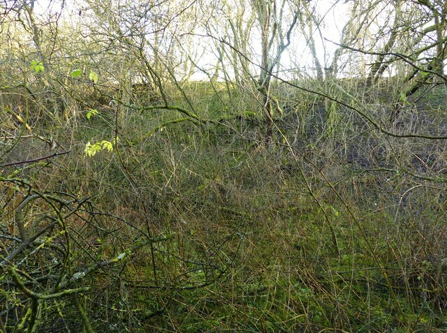
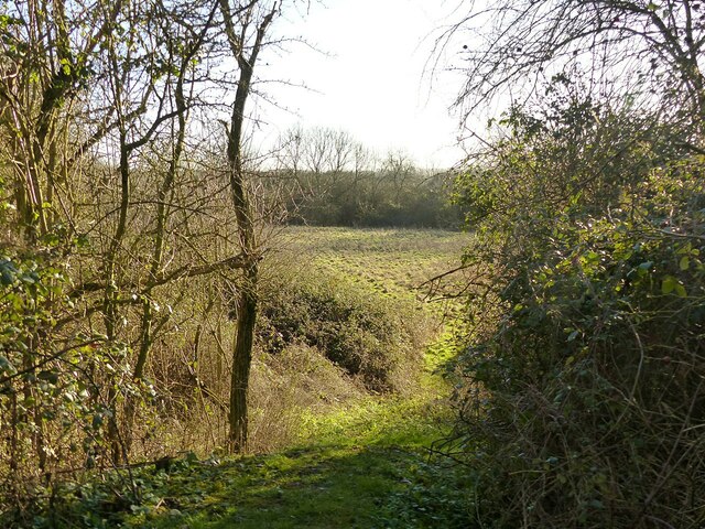
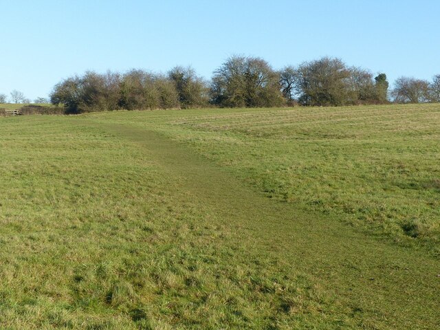
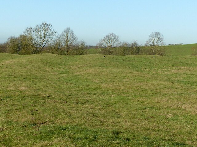
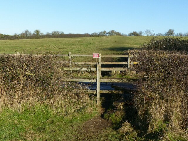
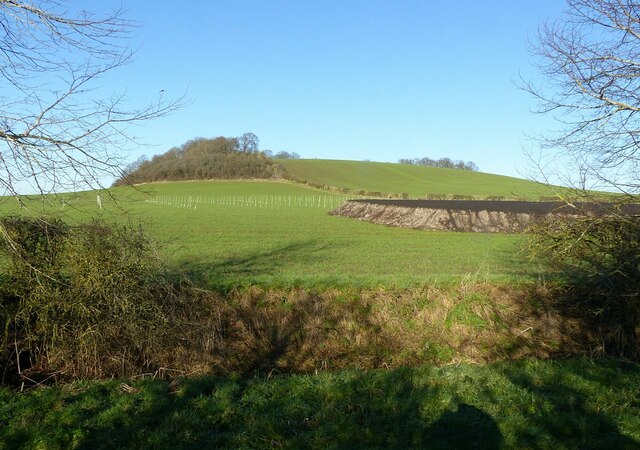
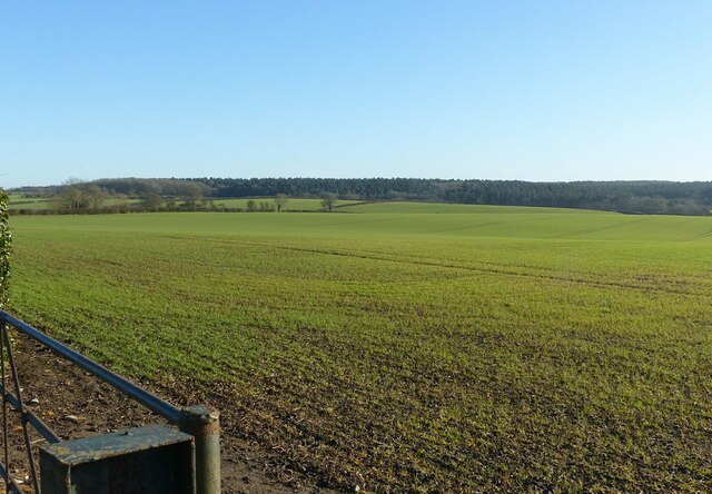
The village of Normanton on the Wolds is known for its picturesque countryside and charming rural atmosphere. It is surrounded by beautiful rolling hills and farmland, making it an ideal location for those seeking a tranquil and peaceful lifestyle.

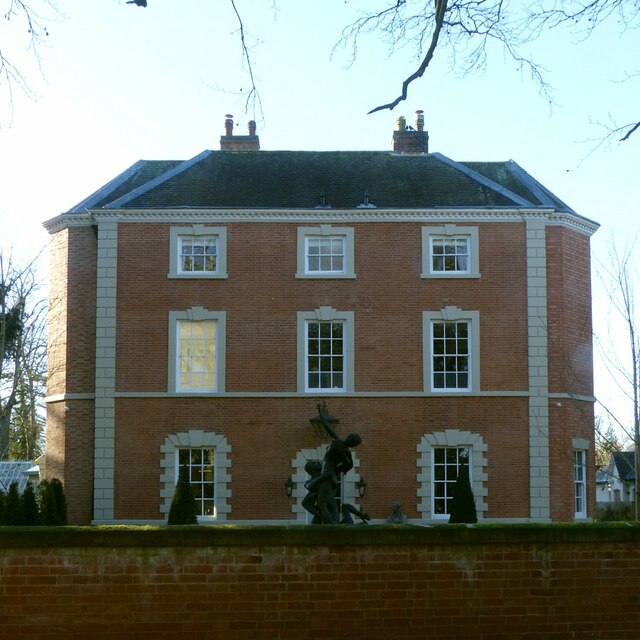
The village itself features a mix of architectural styles, with some historical buildings dating back to the 17th century. The St. Giles Church, a Grade II listed building, is a prominent feature in the village and adds to its historical charm.

Despite its small size, Normanton on the Wolds has a strong sense of community, with several local organizations and clubs catering to a range of interests. The village also has a primary school, providing education for local children.

In terms of amenities, the village has a pub and a village hall, which serves as a hub for social gatherings and events. Additionally, the nearby town of Keyworth offers a wider range of amenities, including shops, supermarkets, and leisure facilities.

Normanton on the Wolds is well-connected to neighboring areas by road, with easy access to the A606 and A52. The city of Nottingham is within commuting distance, offering further employment and entertainment opportunities.

If you have any feedback on the listing, please let us know in the comments section below.

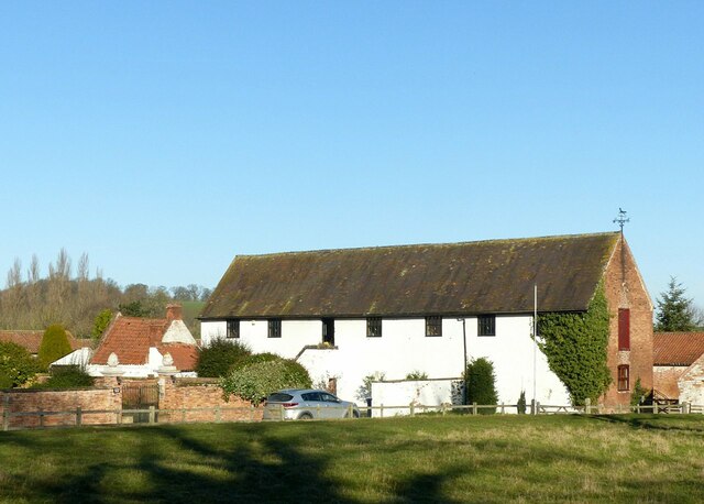
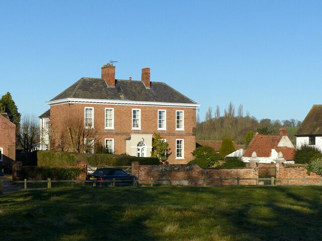
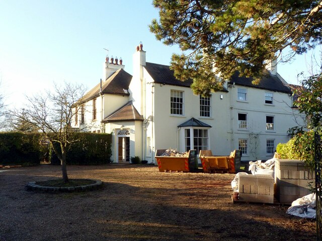
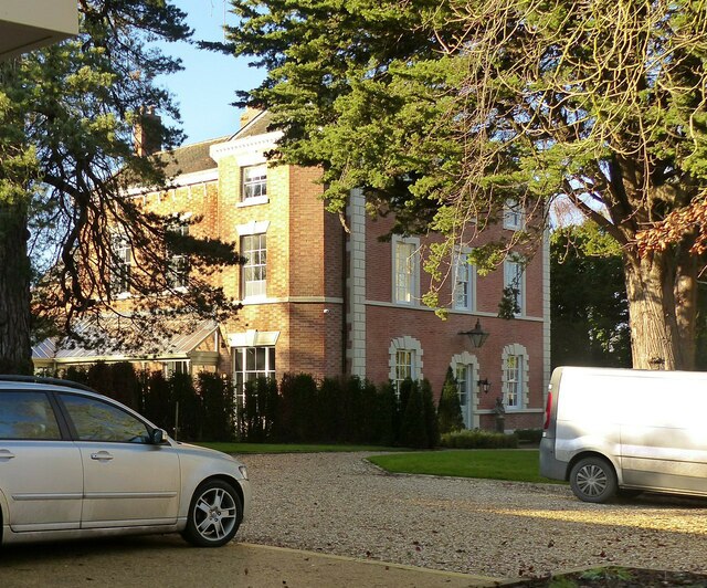
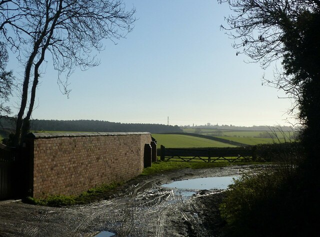
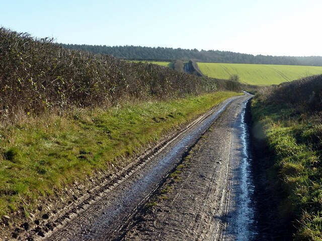
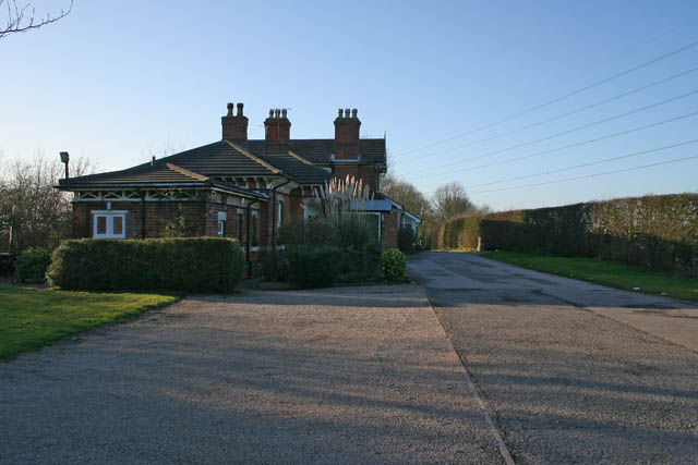
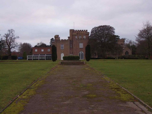
Normanton on the Wolds Images

Images are sourced within 2km of 52.889896/-1.065391 or Grid Reference SK6232. Thanks to Geograph Open Source API. All images are credited.

Barn at Avenue Farm, Normanton Large late 18th century barn, converted to residential use in the early 21st century. Listed Grade II.
Barn at Avenue Farm, Normanton
Large late 18th century barn, converted to residential use in the early 21st century. Listed Grade II.
Avenue Farmhouse, Normanton Late 18th century house with late 19th century alterations, Listed Grade II. The garden wall with its attractive gateway is included in the Listing.
Avenue Farmhouse, Normanton
Late 18th century house with late 19th century alterations, Listed Grade II. The garden wall with its attractive gateway is included in the Listing.
Normanton Grange The tallest, three storey section to the right is the oldest part of the house, dating from the mid 18th century. The section to its left is early 19th century and the section to the left of the entrance dates from around 1900. Listed Grade II.
Normanton Grange
The tallest, three storey section to the right is the oldest part of the house, dating from the mid 18th century. The section to its left is early 19th century and the section to the left of the entrance dates from around 1900. Listed Grade II.
Normanton House Late 18th century Georgian 3-bay house with 19th century additions, including the octagonal bay seen here. Listed Grade II.
Normanton House
Late 18th century Georgian 3-bay house with 19th century additions, including the octagonal bay seen here. Listed Grade II.
Normanton House, main front Late 18th century Georgian 3-bay house with 19th century additions, including the octagonal bays at the sides. Listed Grade II.
Normanton House, main front
Late 18th century Georgian 3-bay house with 19th century additions, including the octagonal bays at the sides. Listed Grade II.
Earthwork mapped as 'Pond Bay' This is the dam for an extensive mill pond, and dates from the medieval period. As such it represents an unusually large such dam, rising at least 15 metres in the centre with an overall length of at least 150 metres. The pond does not appear on any OS mapping so had clearly become disused at a relatively early stage.

OS mapping uses 'Old English' type face for the name, but the earthwork has no historical designation. The local conservation area appraisal does however note its significance.
Earthwork mapped as 'Pond Bay'
This is the dam for an extensive mill pond, and dates from the medieval period. As such it represents an unusually large such dam, rising at least 15 metres in the centre with an overall length of at least 150 metres. The pond does not appear on any OS mapping so had clearly become disused at a relatively early stage. OS mapping uses 'Old English' type face for the name, but the earthwork has no historical designation. The local conservation area appraisal does however note its significance.
View from the north end of the mill dam (“Pond Bay”) Looking into the area which would have formed the mill pond.  See <a title="https://www.geograph.org.uk/photo/7074117" href="https://www.geograph.org.uk/photo/7074117">Link</a> for more information.
View from the north end of the mill dam (“Pond Bay”)
Looking into the area which would have formed the mill pond. See Link for more information.
Fields above Normanton Showing very clear evidence of medieval strip cultivation. The path is part of the Notts Wolds Way long distance path.
Fields above Normanton
Showing very clear evidence of medieval strip cultivation. The path is part of the Notts Wolds Way long distance path.
Fields above Normanton Showing very clear evidence of medieval strip cultivation.
Fields above Normanton
Showing very clear evidence of medieval strip cultivation.
Stiles at the lane to Wolds Farm, Normanton The path is part of the Notts Wolds Way long distance path.
Stiles at the lane to Wolds Farm, Normanton
The path is part of the Notts Wolds Way long distance path.
Hoe Hill near Normanton-on-the-Wolds Recreating this 'First' for the square <a title="https://www.geograph.org.uk/photo/186175" href="https://www.geograph.org.uk/photo/186175">Link</a> .

The sticks in the field probably indicate some experiment or trial in progress.
Hoe Hill near Normanton-on-the-Wolds
Recreating this 'First' for the square Link . The sticks in the field probably indicate some experiment or trial in progress.
Farmland near Normanton-on-the-Wolds Recreating this 'First' for the square <a title="https://www.geograph.org.uk/photo/186157" href="https://www.geograph.org.uk/photo/186157">Link</a>
Farmland near Normanton-on-the-Wolds
Recreating this 'First' for the square Link
Bench mark at Hall Farm, Clipston on the Wolds See <a title="https://www.geograph.org.uk/photo/7074136" href="https://www.geograph.org.uk/photo/7074136">Link</a> for location.
Bench mark at Hall Farm, Clipston on the Wolds
See Link for location.
Church Gate, Clipston on the Wolds The road probably takes its name for the long defunct chapel adjacent to Glebe Farm. Here it forms part of the Notts Wolds Way long distance path.

There is a benchmark <a title="https://www.geograph.org.uk/photo/7074134" href="https://www.geograph.org.uk/photo/7074134">Link</a> on the wall to the right.
Church Gate, Clipston on the Wolds
The road probably takes its name for the long defunct chapel adjacent to Glebe Farm. Here it forms part of the Notts Wolds Way long distance path. There is a benchmark Link on the wall to the right.
The Hamlet of "Clipston on the Wolds" Recreating this 'First' for the square <a title="https://www.geograph.org.uk/photo/51973" href="https://www.geograph.org.uk/photo/51973">Link</a> .

The 30 mph speed limit was introduced around 2010. The lane forms part of the Notts Wolds Way long distance path.
The Hamlet of "Clipston on the Wolds"
Recreating this 'First' for the square Link . The 30 mph speed limit was introduced around 2010. The lane forms part of the Notts Wolds Way long distance path.
Harker's Farm Shop, Clipston At Blackberry Farm. Not open on a Monday, when I was passing.
Harker's Farm Shop, Clipston
At Blackberry Farm. Not open on a Monday, when I was passing.
Wolds Lane, Clipston on the Wolds Looking south towards Cotgrave Forest.
Wolds Lane, Clipston on the Wolds
Looking south towards Cotgrave Forest.
Wolds Lane, Clipston on the Wolds Looking south towards Cotgrave Forest. This is a public bridleway; the motor traffic is a mix of agricultural and forestry use. This part of the Notts Wolds Way long distance path.
Wolds Lane, Clipston on the Wolds
Looking south towards Cotgrave Forest. This is a public bridleway; the motor traffic is a mix of agricultural and forestry use. This part of the Notts Wolds Way long distance path.
Show me another place!

Normanton on the Wolds is located at Grid Ref: SK6232 (Lat: 52.889896, Lng: -1.065391)

Administrative County: Nottinghamshire

District: Rushcliffe

Police Authority: Nottinghamshire

What 3 Words

///litigate.secondly.racing. Near Keyworth, Nottinghamshire

Related Wikis

Normanton-on-the-Wolds

Normanton-on-the-Wolds is a small village in Nottinghamshire, England. Population in 2011 was 245. Acreage 1053. == Overview == The name "Normanton" (Norwegian...

Clipston, Nottinghamshire

Clipston, or Clipston on the Wolds, is a small English village and civil parish in the south Nottinghamshire district of Rushcliffe. It lies between Cotgrave...

Plumtree railway station

Plumtree railway station served Plumtree in the English county of Nottinghamshire, on the Nottingham direct line of the Midland Railway between London...

Church of St Mary the Virgin, Plumtree

The Church of St Mary the Virgin, Plumtree is a parish church in the Church of England in Plumtree, Nottinghamshire. The church is Grade II listed by the...

Rushcliffe

Rushcliffe is a local government district with borough status in south Nottinghamshire, England. Its council is based in West Bridgford. The borough also...

South Wolds Academy

The South Wolds Academy and Sixth Form (formerly known as South Wolds Community School, and before that, South Wolds Comprehensive) is a secondary school...

St Hugh's College, Tollerton

St Hugh's College (also referred to as Tollerton Hall and Roclaveston Manor) was a Roman Catholic minor seminary in Tollerton founded by the Diocese of...

Tollerton, Nottinghamshire

Tollerton is an English village and civil parish in the Rushcliffe district of Nottinghamshire, just south-east of Nottingham. Statistics from the 2021...

Nearby Amenities

Located within 500m of 52.889896,-1.065391
Power: tower
Source: OS OpenData VectoMap District
Lat/Long: 52.8884089/-1.0620565
Power: tower
Source: OS OpenData VectoMap District
Lat/Long: 52.8876257/-1.0671431
Fixme: continue
Lat/Long: 52.8918038/-1.0707619
The data included in this document is from www.openstreetmap.org. The data is made available under ODbL.

Have you been to Normanton on the Wolds?

Leave your review of Normanton on the Wolds below (or comments, questions and feedback).